

Consult the readme.txt file for a complete description of the report, including instructions for downloading and importing the files.
View the text pamphlet of the report in Adobe Acrobat Portable Document Format: of0045pm.pdf (1.9 Mb). Go to Adobe Acrobat to download the free Acrobat Reader software if you you don't already have it. The PDF file is 25 pages on 8.5" x 11" paper and prints best on a 600 dpi laser printer.
UNIX Download the compressed data files in unprojected geographic coordinates with units in decimal degrees of0045.tar.gz (5.2 Mb)
PC Download the compressed data files in unprojected geographic coordinates with units in decimal degrees of0045.zip (5.3 Mb)
The paper maps were designed and tested on a Hewlett Packard DesignJet 1055 series printer. Select this option if you have access to a large format printer capable of plotting PostScript files. These files have been successfully printed from Arc/Info, Adobe Illustrator, and from the MS-DOS prompt using the "print" command.
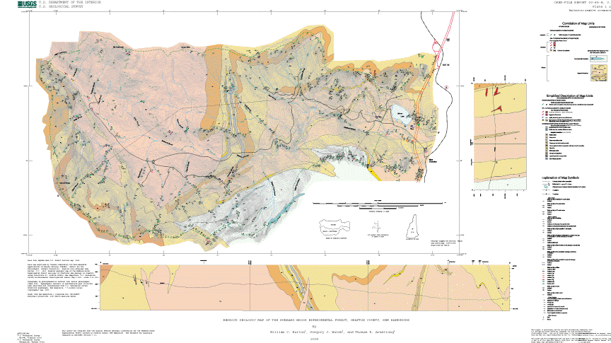
UNIX Download the compressed file for printing the paper geologic map (Plate 1 of 2, 35" tall x 65" wide) in PostScript format. of0045p1.ps.gz (2.4 Mb compressed and 12.8 Mb uncompressed).
UNIX Download the compressed file for printing the paper fracture map (Plate 2 of 2, 32" tall x 50" wide) in PostScript format. of0045p2.ps.gz (21.8 Mb compressed and 167.7 Mb uncompressed).
PC Download the compressed file for printing the paper geologic map (Plate 1 of 2, 35" tall x 65" wide) in PostScript format. of0045p1.zip (2.4 Mb compressed and 12.8 Mb uncompressed).
PC Download the compressed file for printing the paper fracture map (Plate 2 of 2, 32" tall x 50" wide) in PostScript format. of0045p2.zip (23.0 Mb compressed and 167.7 Mb uncompressed).
Order paper copies of the maps from the USGS Maps-on-Demand facility.
View the metadata files for this report.
View the geologic and fracture maps in Adobe Acrobat Portable Document Format.
Geologic Map of0045p1.pdf (3.0 Mb)Fracture Map of0045p2.pdf (21.9 Mb)
This compact disc can be obtained by writing:
USGS Information Services
Box 25286, Federal Center
Denver, CO 80225
e-mail: infoservices@usgs.gov
Bedrock Regional Aquifer Systematics Study (BRASS) Project Home Page
USGS Home Page | USGS Geologic Information | USGS Help Page
For additional information contact:
Gregory J. Walsh
U.S. Geological Survey
P.O. Box 628
Montpelier, VT 05601
Gregory J. Walsh: gwalsh@usgs.gov
Maintained by Eastern Publications Web Team
This page is https://pubs.usgs.gov/openfile/of00-045/
Last modified: July 17, 2001