Holocene Evolution, OFR 01-076
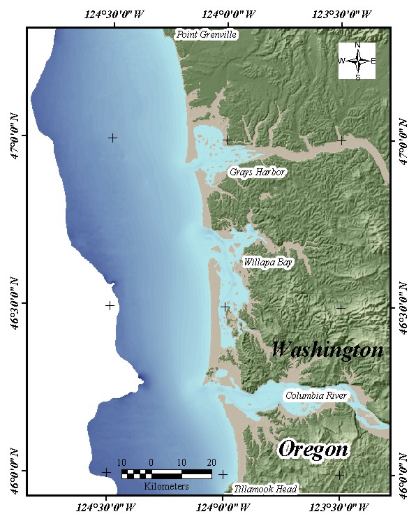
Home | Intro | Geology | Methods | Animation | Data | GIS | Acknowledgements | References | AppendixFigure 8. Map showing the present day surface that was derived from integrating the on-land DEM compiled by the Washington State Department of Ecology (R. Daniels, personal communication) with offshore depths derived from the USGS seismic tracks and NOS bathymetric data. An in-depth description of the procedure is given in the Methods section.