Deep-Towed Chirp Profiles of the Blake Ridge Collapse Structure: USGS OFR 01-123
Click on the desired tracklines to see images of the profiles and to access the data.
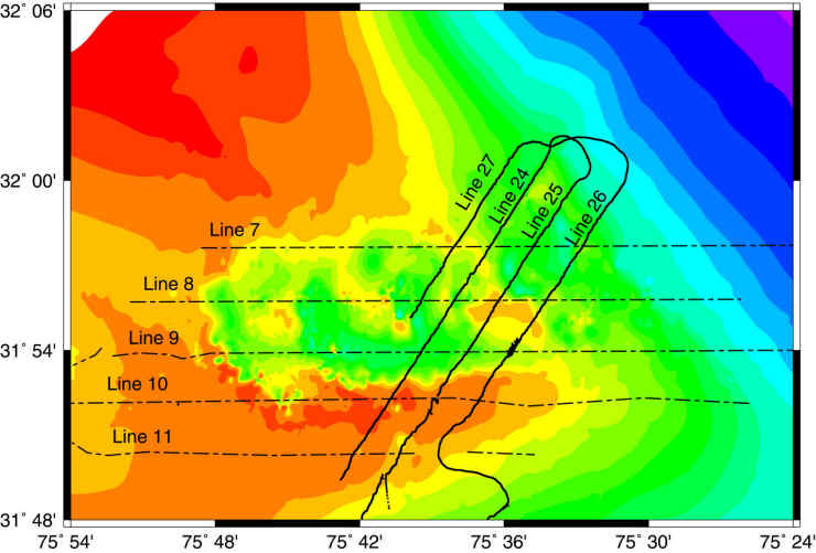
Solid lines (NE-SW) indicate
data collected on cruise 92023 in 1992.
Dashed lines (E-W) indicate
data collected on cruise 95023 in 1995.
![]() Document Homepage --
1. Introduction --
2. Cruise Reports -- 3. Track Map -- 4. Data Files and Descriptions -- 5. References -- 6. Metadata files -- 7. Help
Document Homepage --
1. Introduction --
2. Cruise Reports -- 3. Track Map -- 4. Data Files and Descriptions -- 5. References -- 6. Metadata files -- 7. Help