|
|
|
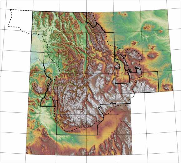
A regionally consistent and integrated geologic spatial database for the Northern Rocky Mountains of Montana, Idaho, and eastern Washington, brings together forty-three 1:100,000- to 1:250,000-scale digital geologic maps into a common database format. The regional geologic database is an ArcInfo coverage (NR_GEO) that contains spatial data for both lines (contacts, faults, fold axes, dikes, sills, veins, garnet isograd, boundaries) and polygons (geologic units). The database represents the original content of the published maps and provides easily used and consistent attribute content. We have also added information based on our interpretations of published reports. In particular, we have added attribute information that 1) classifies igneous rocks by age, composition, and name, and 2) allows the creation of derivative maps based on lithology. Three schemes are used to classify polygons and lines in this spatial database. The first scheme is based on the original map units defined in the source maps used to compile this database. The second approach uses the age, composition, and mode of occurrence to define igneous map units. The last approach uses the names of igneous intrusions and volcanic units to define map units. This database can be queried to address an assortment of geological questions and to produce a variety of derivative geological maps. Digital themes derived from these digital spatial geologic databases will be used by the U.S. Department of Agriculture Forest Service (USFS) for planning and research purposes and by the U.S. Geological Survey (USGS) to facilitate research and conduct mineral-resource assessments. |
Report, appendices, and illustrations - A 206-page PDF file (of2005-1235.pdf; 3.8 MB)
Readme file - gives details of folders and files (16 KB)
data.zip - ArcInfo coverages and ArcGIS layer and published map files (single compressed file that contains over 100 items in a directory structure; 69.7 MB)
export folder - Files that must be processed before using with GIS or relational database software programs (two zip files and a text file; 346 MB)
fonts folder - "GeoAgeFullAlpha" Geological Stratigraphic Age Font files (160 KB)
map_unit folder - Map unit descriptions and references, along with selected information from look-up tables for the ArcInfo coverage NR_GEO (18.8 MB)
metadata folder - metadata files in html format that provide information about the spatial databases in this report (424 KB)
terms folder - Hierarchical list of standardized rock and sediment terms and their definitions in Microsoft Excel 2003 workbook and text format files (368 KB)
For questions about the content of this report, contact Mike Zientek
| Help
| PDF help
| Publications main page
| Open-File
Reports for 2005
|
This report is available only on the web.