 |
|
|
||||
| Measurements of Wind, Aeolian Sand Transport, and Precipitation in the Colorado River Corridor, Grand Canyon, Arizona - November 2003 to December 2004 |
|
|
|
ABSTRACT This report presents measurements of aeolian sediment-transport rates, wind speed and direction, and precipitation records from nine locations in the Colorado River corridor in Grand Canyon, Grand Canyon National Park, Arizona. Aeolian deposits, many of which contain and preserve archaeological material, are a critical part of the Grand Canyon ecosystem. Data collected between November 2003 and December 2004 indicate that wind velocities and sand transport were greatest during April and May 2004 (with maximum winds locally >25 m s-1, and transport rates locally ~5 kg cm-1 day-1). Dominant wind direction during strong wind intervals varies with location, but during the April-May windy season the greatest transport potential was directed upstream in Marble Canyon (upper Grand Canyon). Such information can be used to evaluate the potential for aeolian reworking of new fluvial sand deposits, and restoration of higher-elevation aeolian deposits, following a 60-hour controlled flood release from Glen Canyon Dam in November 2004. |
Download Open-File Report 2005-1309 as a 70-page PDF file (23.4 MB)
View the supplemental data filenames for the data folder (see below).
Download the supplemental data as a .zip file that contains 111 .xls spreadsheets (25-MB compressed file that becomes 116 MB when opened)
Also of interest: Draut, Amy E., and Rubin, David M., 2006, Measurements of wind, aeolian sand transport, and precipitation in the Colorado River corridor, Grand Canyon, Arizona; January 2005 to January 2006: U.S. Geological Survey Open-File Report 2006-1188
For questions about the content of this report, contact Amy Draut
Dune field at the Palisades study site (click image to view a larger version)

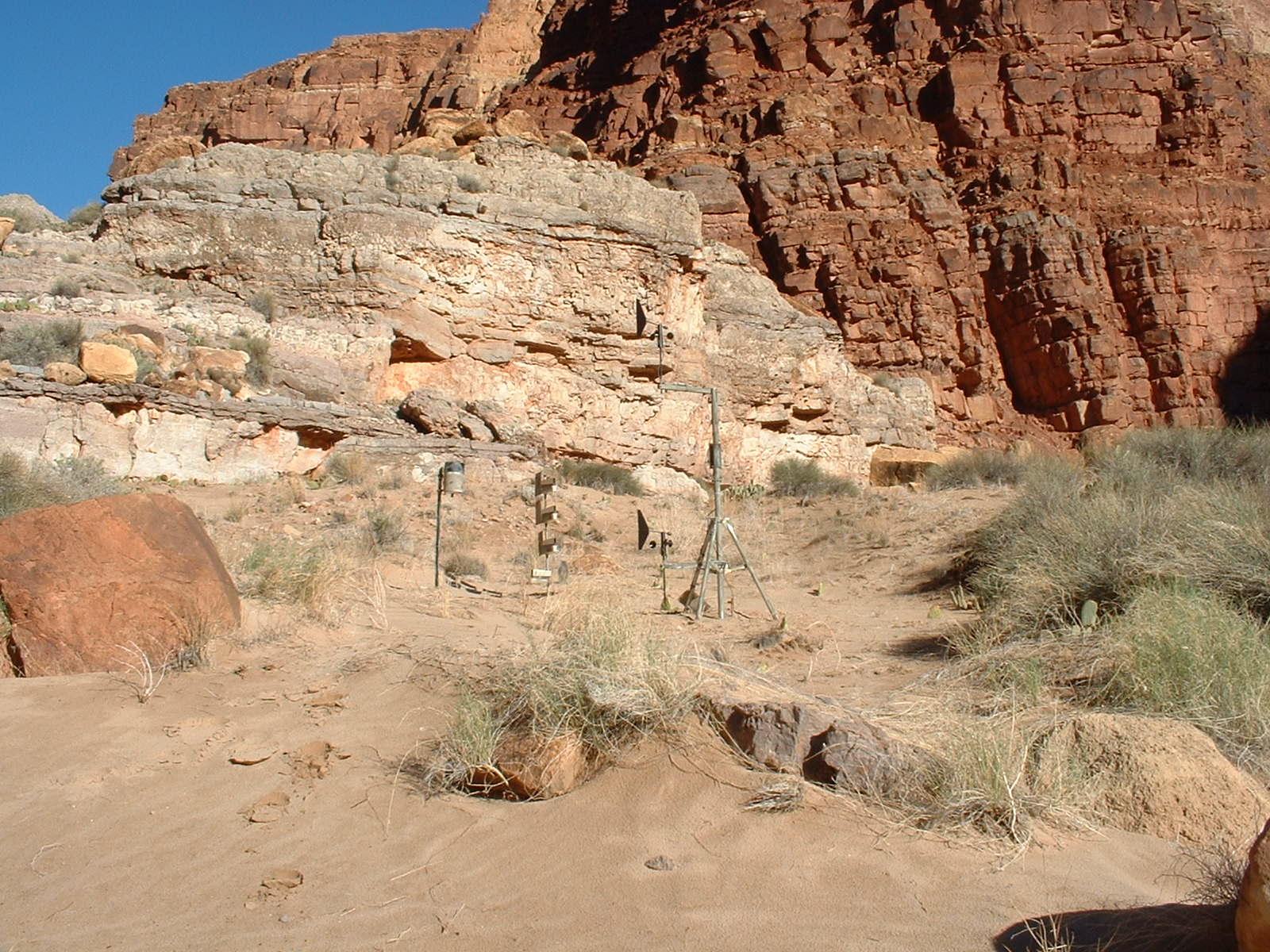
Camouflage on the weather station at the Forster site (click image to view a larger version)
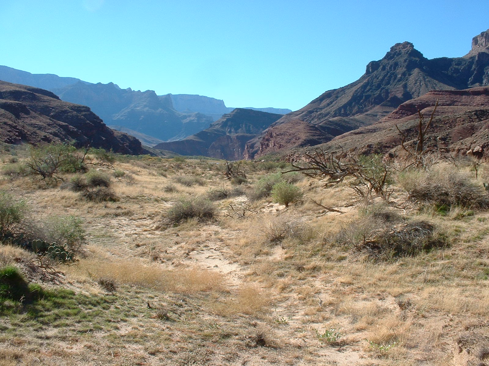
Upper site at 24.5 mile (click image to view a larger version)

Lower site at 24.5 mile (click image to view a larger version)

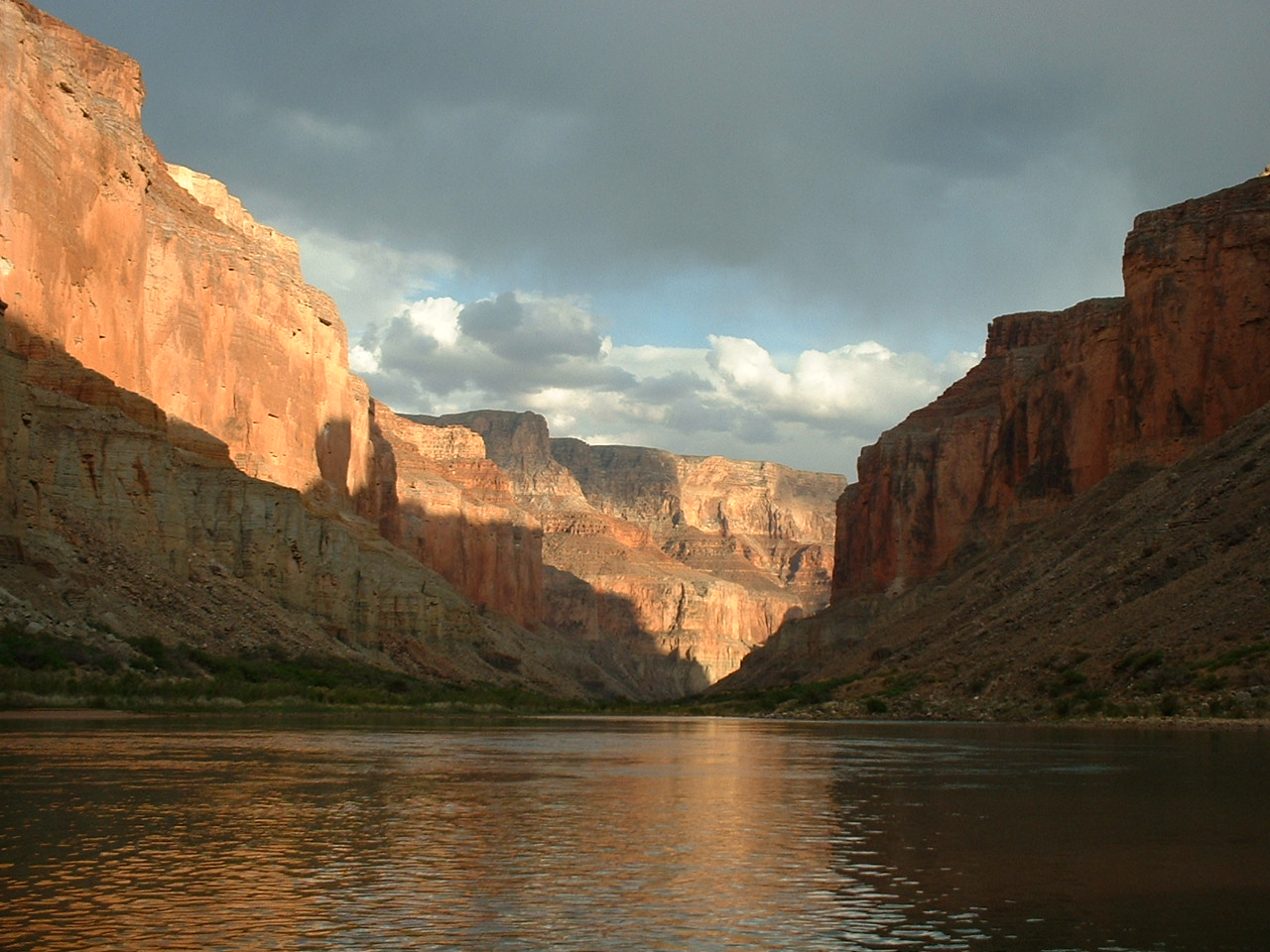
Colorado River in Marble Canyon (upper Grand Canyon) (click image to view a larger version)
Download a current version of Adobe Reader for free
| Help
| PDF help
| Western reports main page | Open-File Reports for 2005 |
| Privacy
Statement | Disclaimer
| Accessibility |
| Geologic
Division | Coastal and Marine Geology Program
|