Open-File Report 2009-1072
By Walter A. Barnhardt, Seth D. Ackerman, Brian D. Andrews, and Wayne E. Baldwin
ABSTRACT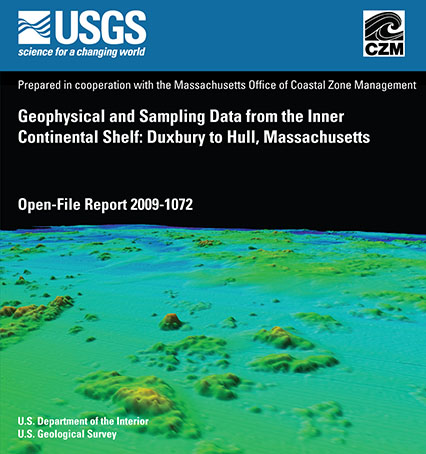
The U.S. Geological Survey (USGS) and the Massachusetts Office of Coastal Zone Management (CZM)have cooperated to map approximately 200 km² of the Massachusetts inner continental shelf between Duxbury and Hull. This report contains geophysical and geological data collected by the USGS on three cruises between 2006 and 2007. These USGS data are supplemented with a National Oceanic and Atmospheric Administration (NOAA) hydrographic survey conducted in 2003 to update navigation charts. The geophysical data include (1) swath bathymetry from interferometric sonar and multibeam echosounders, (2) acoustic backscatter from sidescan sonar and multibeam echosounders, and (3) subsurface stratigraphy and structure from seismic-reflection profilers. The geological data include sediment samples, seafloor photographs, and bottom videos. These spatial data support research on the influence sea-level change and sediment supply have on coastal evolution, and on efforts to understand the type, distribution, and quality of subtidal marine habitats in the Massachusetts coastal ocean. |
Posted July 2010 For additional information contact: Part or all of this report is presented in Portable Document Format (PDF); the latest version of Adobe Reader or similar software is required to view it. Download the latest version of Adobe Reader, free of charge. |
Barnhardt, W.A., Ackerman, S.D., Andrews, B.D., and Baldwin, W.E., 2010, Geophysical and sampling data from the inner continental shelf; Duxbury to Hull, Massachusetts: U.S. Geological Survey Open-File Report 2009-1072, 1 DVD-ROM. (Also available at https://pubs.usgs.gov/of/2009/1072/.)
Abstract
Introduction
Data Collection and Processing
Bathymetry
Acoustic Backscatter
Seismic-Reflection Profiling
Seismic-Reflection Data Acquisition 06012
Seismic-Reflection Data Acquisition 07001
Ground Validation
Surficial Sediment Samples and Grain-Size Analyses
Photography and Video
Acknowledgments
References Cited

![]() U.S. Department of the Interior |
U.S. Geological Survey
U.S. Department of the Interior |
U.S. Geological Survey
[an error occurred while processing this directive]
URL: https://pubsdata.usgs.gov
Page Contact Information: Contact USGS
Page Last Modified: Wednesday, 07-Dec-2016 22:13:40 EST
