Skip past header information
USGS - science for a changing world
CZM logo with link to CZM home page

U.S. Geological Survey Open-File Report 2012-1006

High-Resolution Geophysical Data From the Inner Continental Shelf at Vineyard Sound, Massachusetts


Appendix 1. Spatial Data

Skip past contents information

All vector data are delivered in Esri shapefile format in the geographic coordinate system (World Geodetic System of 1984 (WGS84)). The raster data are delivered in GeoTIFF and Esri grid formats using the Universal Transverse Mercator (UTM), Zone 19, WGS84 projection. All spatial data are distributed with Federal Geographic Data Committee (FGDC)-compliant metadata in the following formats: extensible markup language (.xml), text (.txt) and FGDC classic (.html). ArcCatalog can also be used to examine the metadata in a variety of additional formats. Background data or "base map" shapefiles of Massachusetts State boundaries are not published in this report because they can be accessed from numerous existing sources including:

  1. Massachusetts Ocean Resource Information System - http://www.mass.gov/czm/mapping/index.htm
  2. Coastal and Marine Geology Program Web map service, Massachusetts Seafloor Mapping Cooperative -http://coastalmap.marine.usgs.gov/regional/contusa/eastcoast/msmc_cvm/index.html
  3. Esri ocean base map: This is a Web-based map service published by Esri. A user with a connection to the Internet can add this Ocean base map layer directly to a ArcGIS map document from: http://services.arcgisonline.com/ArcGIS/rest/services/Ocean_Basemap/MapServer?f=lyr&v=9.3 This map service is already loaded in the table of contents of the ArcMap document published with this report.

Data Access

The spatial data in this report can be accessed with ArcGIS 9.x (all shapefiles and raster data may be viewed and manipulated) or through free software for viewing the data.

If you have ArcGIS 9.3 or higher
Copy the DVD/ GIS/ folder from the root directory on the DVD-ROM or from the link on the Internet home page for the report to your computer and open the ArcMap document OFR2012_1006.mxd. This map document has all the data layers loaded in the table of contents and uses relative links, so there is no need to change any pathways or drive letters if all folders remain the same under the parent directory (GIS).

If you do not have ArcGIS 9.3 or higher
View the data via ArcReader, a free mapping application distributed by Esri for Microsoft Windows, Linux, and Unix operating systems. Download ArcReader and install it. Go to the Esri website at http://www.esri.com/software/arcgis/arcreader/download.html and follow the directions for downloading and installing the free software. Once ArcReader is installed, all the data can be viewed by opening the published map file (OFR2012_1006.pmf) in the root GIS directory.

Data Organization

The data are organized in the folders shown below on both the DVD and website. The file structure is the same for both types of delivery methods and described below. The DVD does not contain the data in compressed file format because of space limitations on the DVD. The compressed files are only for data delivery via the website version of the report. If accessing data from the website, make the blank folder structure as described below on the user's local machine before downloading individual compressed zip files to the appropriate folders. Data layers can be downloaded individually in compressed format using the table below.

image of a folderGIS- top-level directory for all spatial data.

OFR2012-1006.mxd- ArcGIS 9.3 map document with all the data loaded in the table of contents.

OFR2012-1006.pmf- Esri ArcReader map document (created with Publisher 9.3) for use with free ArcReader software.

image of a folderbrowse_jpg- folder containing thumbnail graphics of data for use in metadata.

image of a folderhyperlink_images- folder containing seismic-profile images in portable network graphic (png) format; seismic-profile images are hyperlinked to the VS_SeismicTrackline layer in the ArcMap document table of contents (use the hyperlink tool in ArcMap to click on these features and view the linked image)

      image of a folder2009-002-FA seismic images colleced during USGS survey 2009-002-FA
     image of a folder2010-004-FA seismic images colleced during USGS survey 2010-004-FA
     image of a folder2011-004-FA seismic images colleced during USGS survey 2011-004-FA

image of a folderLayers- folder containing ArcGIS 9.3 layer files that set rules for displaying and working with data in ArcMap. Layer definitions include symbol assignments, classifications, labeling, and other map use properties; these layer files store the symbology for the data to view them as in the figures of this report

image of a folderraster-folder contains all the raster data in either Esri Grid, or GeoTIFF format.

      image of a folder backscatter-folder containing the backscatter mosaics in GeoTIFF format
      image of a folderbathymetry-folder containing the bathymetry and hill-shade grids.

image of a folderShapefile- folder containing the five vector datasets listed in table 1–1 in shapefile format

Data Catalog

Vector Data: The vector data are stored and delivered in Esri shapefile format in geographic coordinate system. The text in the "Layer (metadata)" column of table 1–1 is hyperlinked to the Web-based (html) format of the metadata describing the data. The link in the "Download" column provides access to the compressed zip file containing the data in shapefile format.List of vector data published in this report.

Table 1-1. List of vector data published in this report

Layer (metadata)

Description

View

Download

VS_5mCntr_V2.shp

Bathymetric contours at 5-meter intervals

Thumbnail image of bathymetric contours

VS_5mCntr_V2.zip
0.21 MB

VS BackscatterTracklines.shp

Survey tracklines for backscatter (sidescan sonar) data

Thumbnail of backscatter tracklines

VS BackscatterTracklines.zip
0.46 MB

VS_BathymetryTracklines.shp

Survey tracklines for bathymetry data

Thumbnail image of bathymetric tracklines

VS_BathymetryTracklines.zip
65.6 MB

VS_SeismicShot_500.shp

Chirp shot point navigation data at 500-shot intervals

Thumbnail image of bottom video locations

VS_SeismicShot_500.zip
40 MB

VS_SeismicTracklines.shp

Survey tracklines for seismic profile data

Thumbnail image of video tracklines

VS_SeismicTracklines.zip
14.2 MB

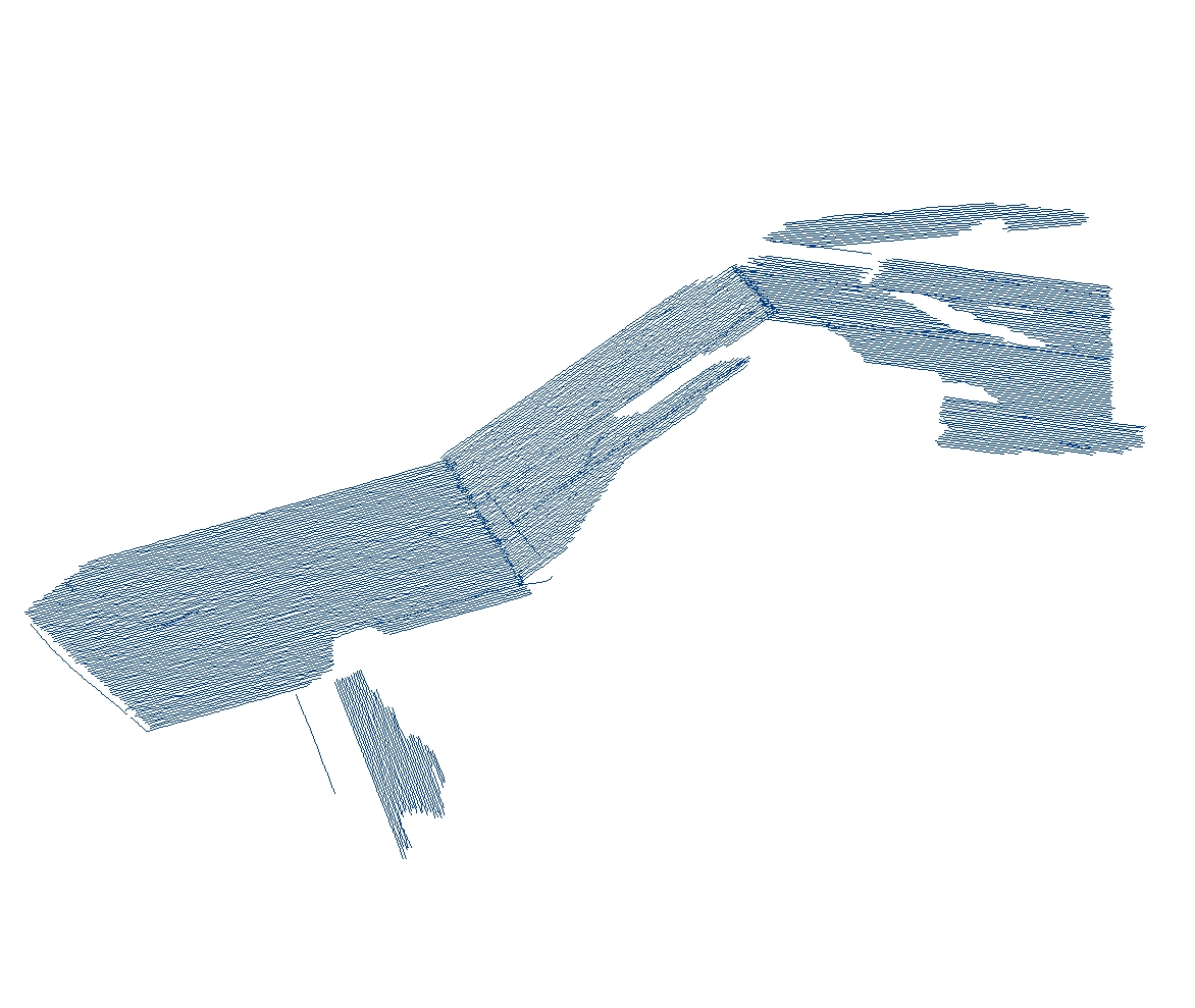
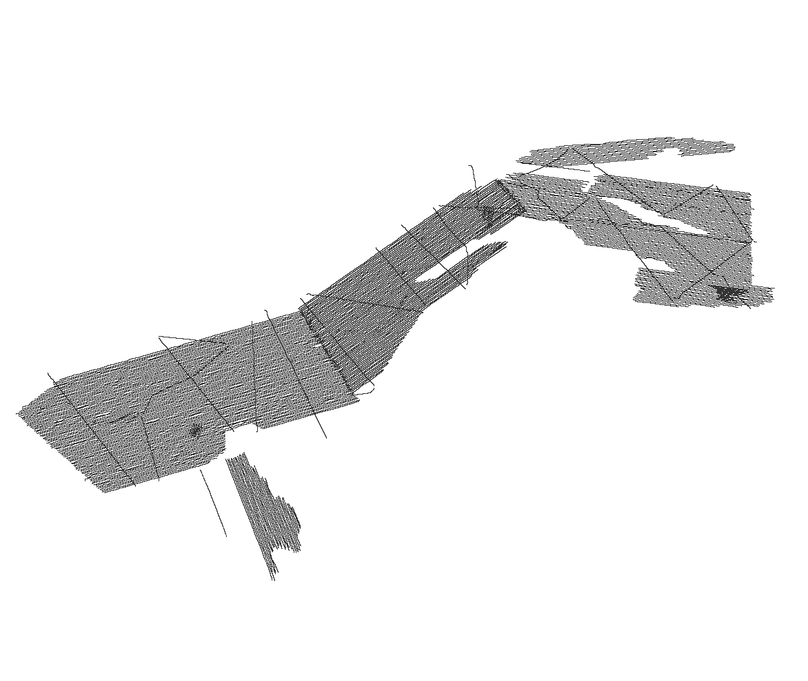
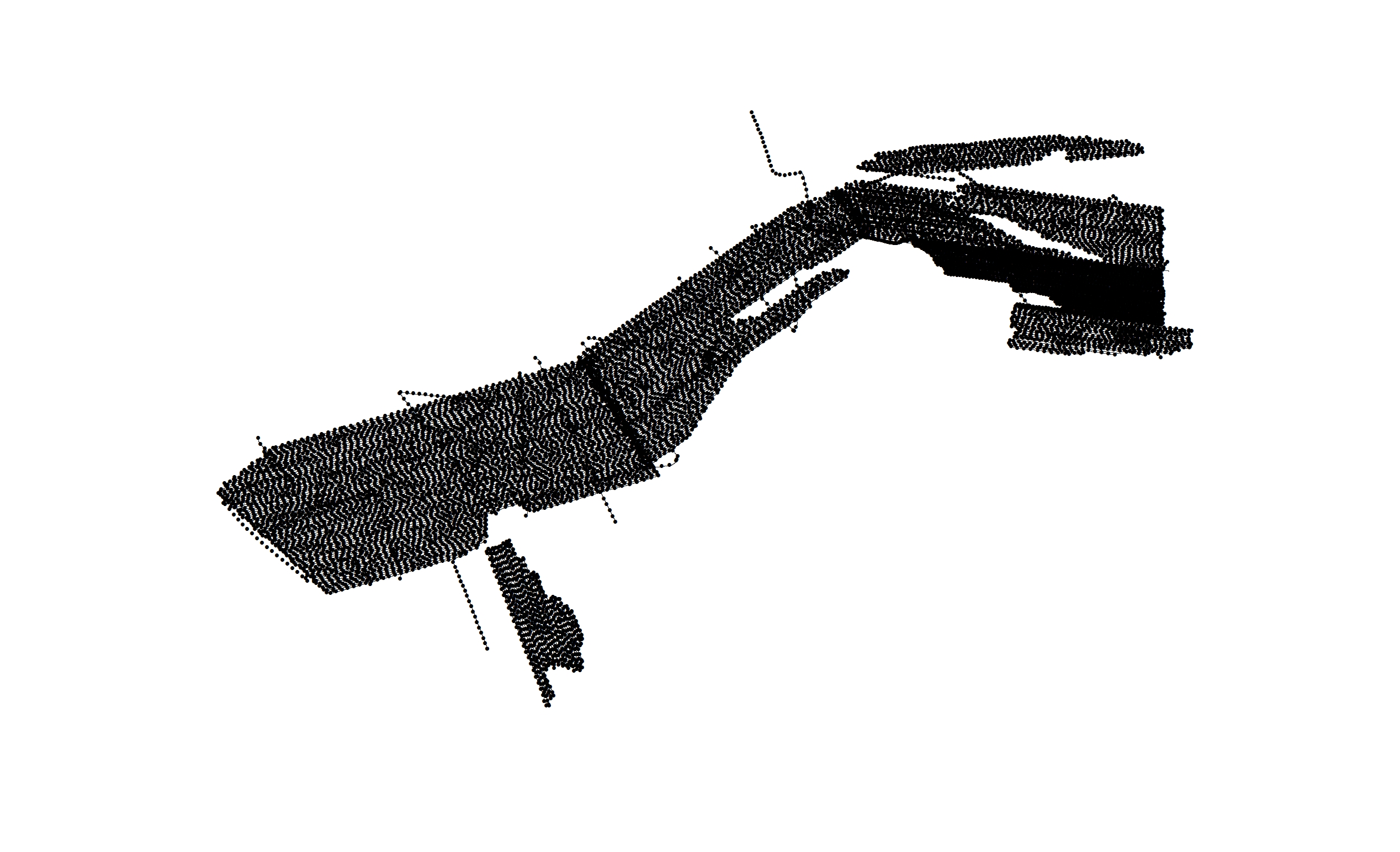
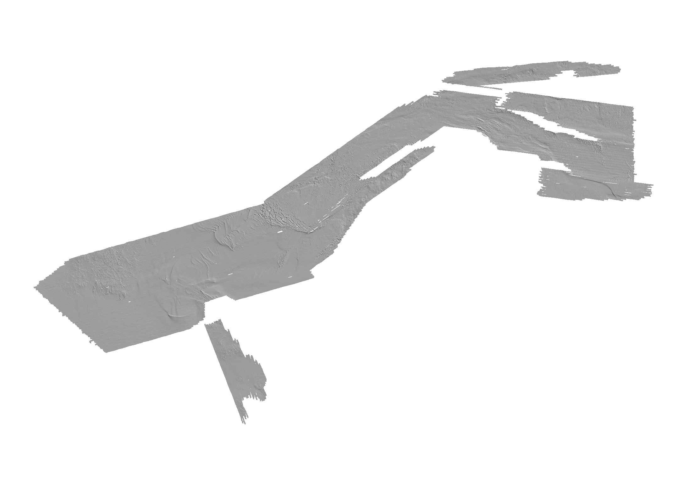
Raster Data: Raster data are delivered in Esri binary grids, or GeoTIFF format. The text in the first column of the data table below, under the “Layer (metadata)” heading, is hyperlinked to the web-based (html) format of the metadata describing the data. The link in the “Download” column provides access to the WinZip (compressed) file which contains the data in Esri grid, or GeoTIFF format.

Table 1-2. List of raster data published in this report. [m, meter; MB, megabyte]

Raster Layer (metadata)

Description

View

Download

vs_bath5m_v2

5-m gridded bathymetry
Esri 32-bit

Thumbnail image of bathymetry

vs_bath_5m_v2.zip
(37 MB)

vs_bath5mhs_v2

5-m hillshaded bathymetry
Esri 16-bit

Thumbnail image of bathymetric grid

vs_bathhs_v2.zip
9 MB

vs_backscatter_1m

1-m backscatter mosaic
GeoTIFF

Thumbnail image of depth-colored bathymetry

Vs_backscatter_1m.zip
262 MB

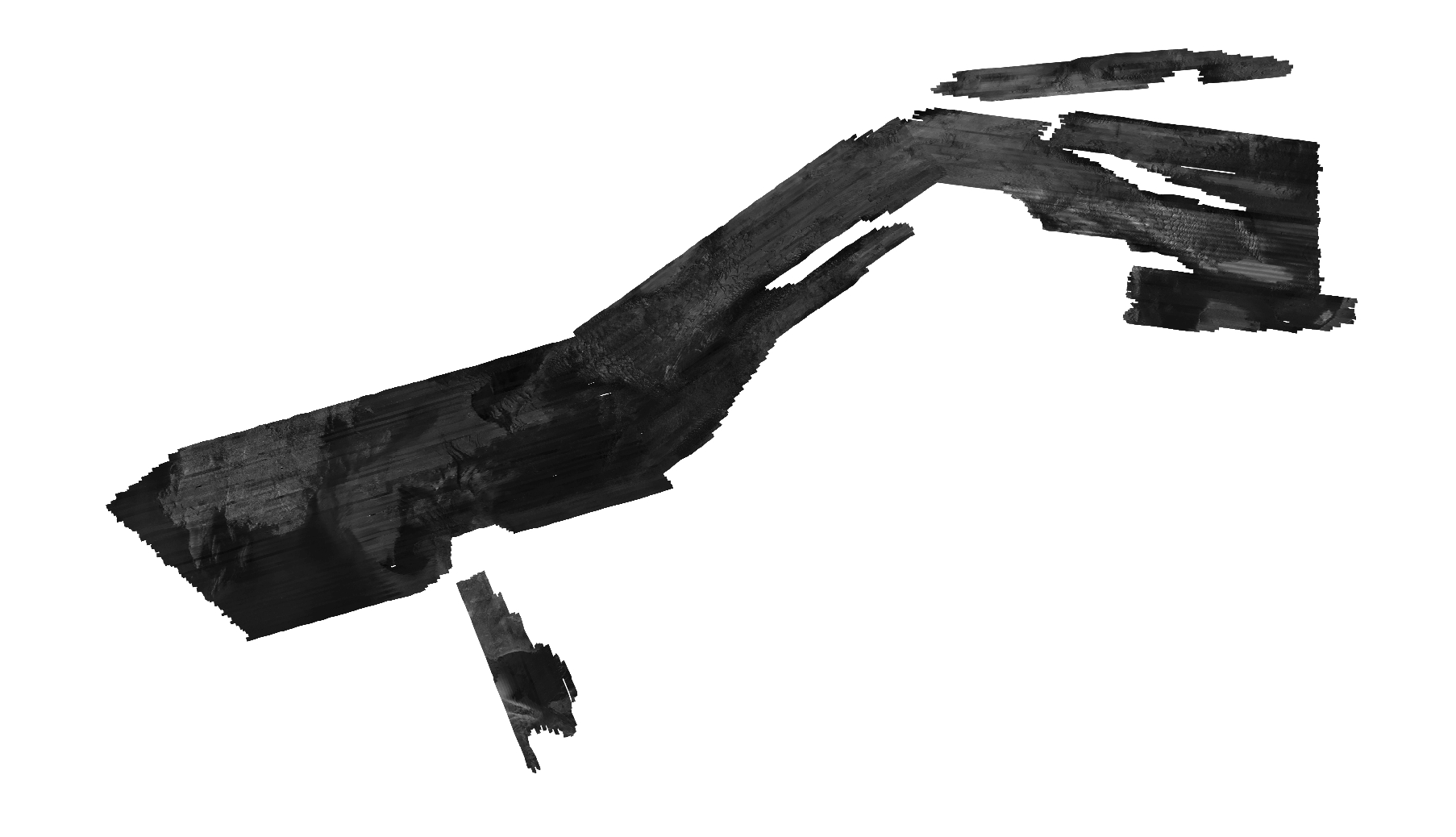
Image Data – Chirp seismic profile images are available in Portable Network Graphics (png) format. The hyperlinked text in the first column of the data table below, under the "Hyperlinked Images" (metadata) heading, are linked to the web-based (html) format of the metadata describing the seismic profile data. The link in the "Download" column provides access to a WinZip file containing the seismic profile images.

Table 1-3. List of images published in this report. [MB, megabyte; png, portable network graphics format]

Hyperlinked Images
(metadata)

Description

View

Download

VS_SeismicProfiles

Seismic-reflection profile Images in PNG format

Thumbnail image of a representative seismic reflection profile

2009-002-FA.zip 168 MB
2010-004-FA.zip 729 MB
2011-004-FA.zip 324 MB


Accessibility FOIA Privacy Policies and Notices

Take Pride in America logo USA.gov logo U.S. Department of the Interior | U.S. Geological Survey
URL: http://pubsdata.usgs.gov/pubs/of/2012/1006/appendix.html
Page Contact Information: GS Pubs Web Contact
Page Last Modified: Wednesday, 18-Jun-2014 15:27:08 EDT