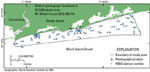
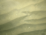
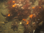
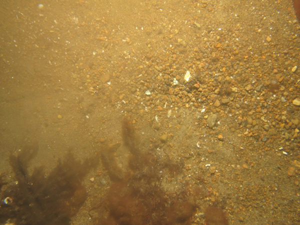
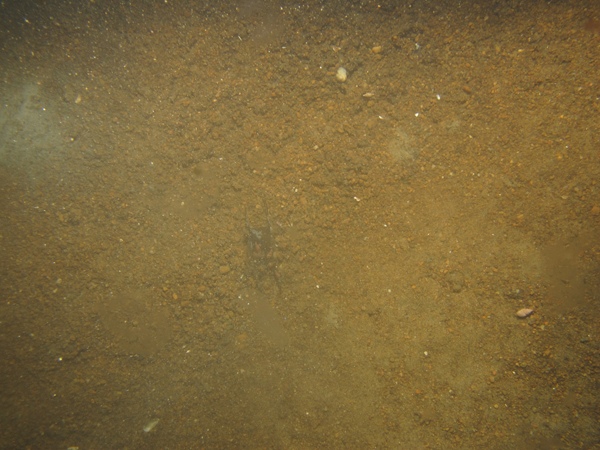
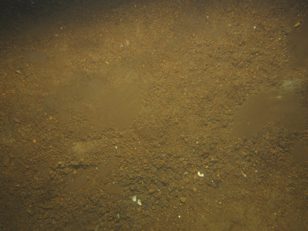
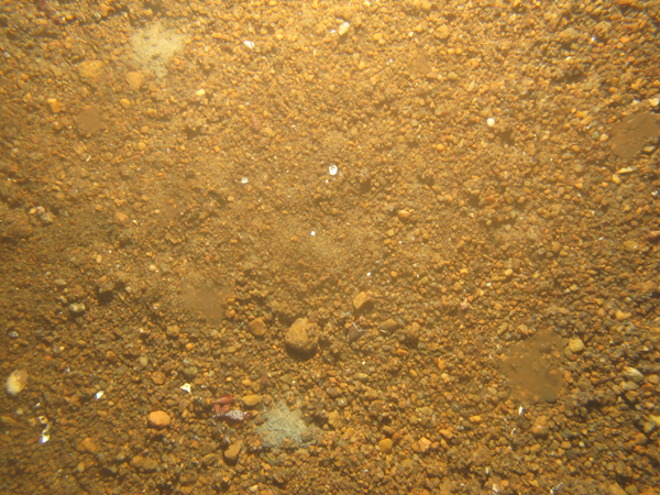
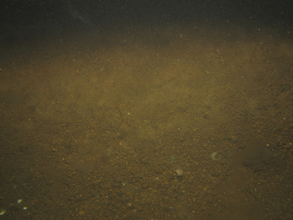
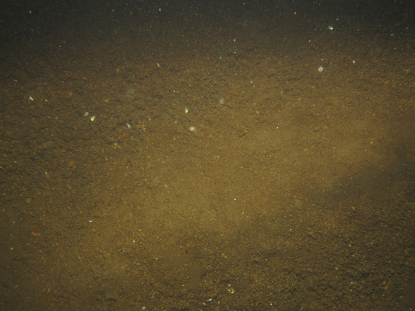
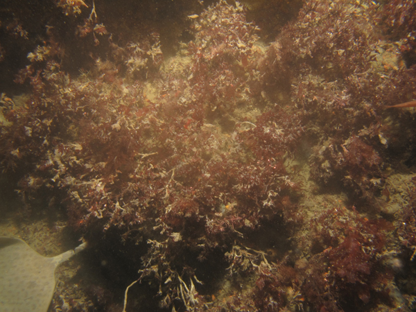
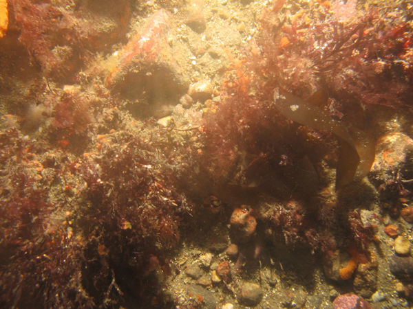
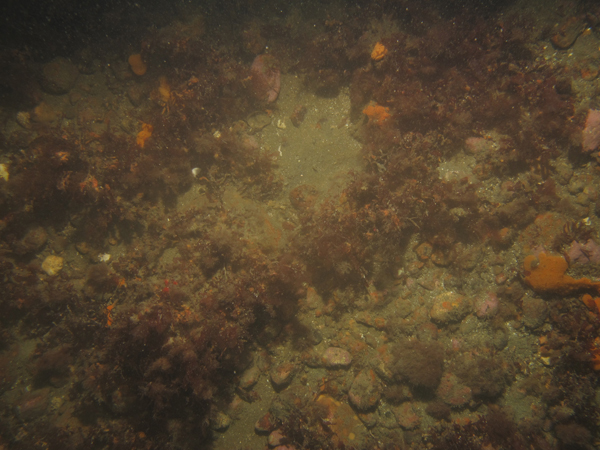
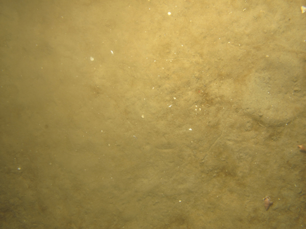
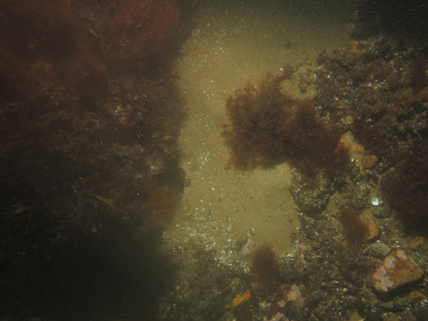
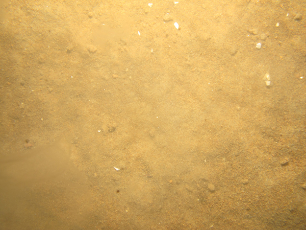
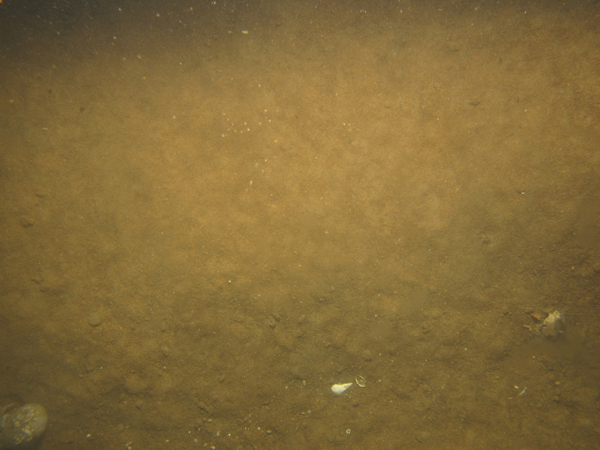
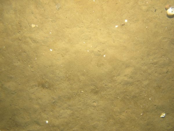
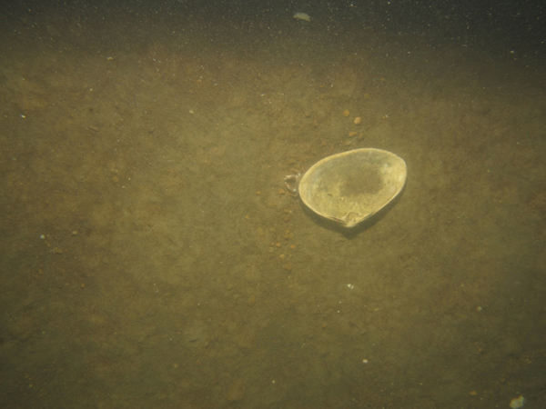
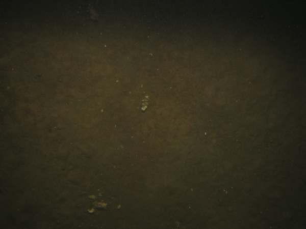
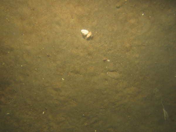
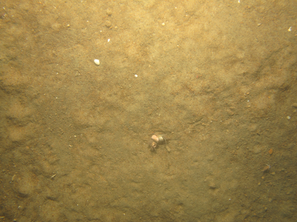
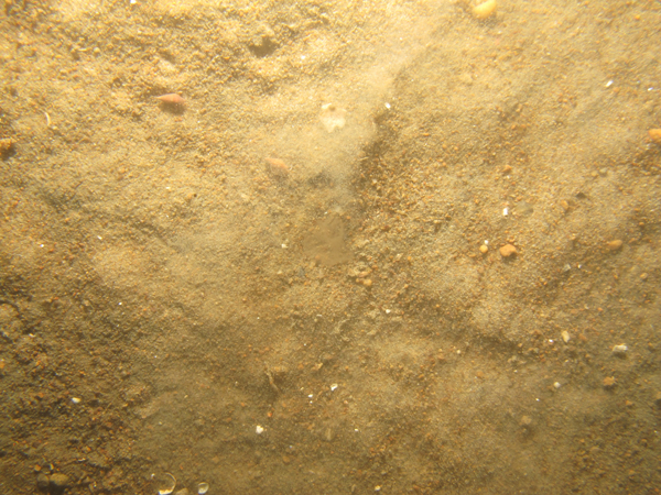
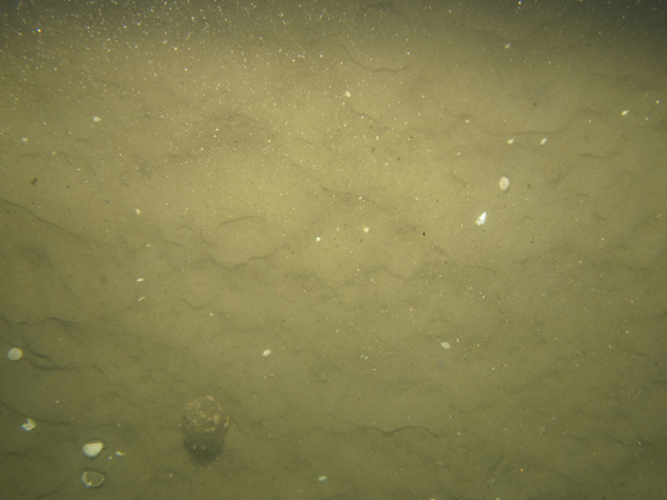
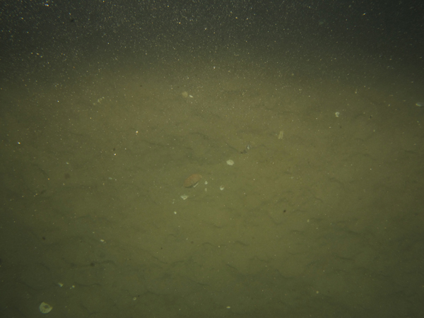
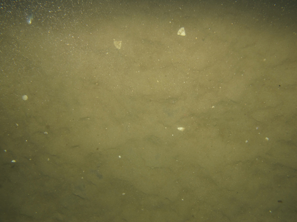
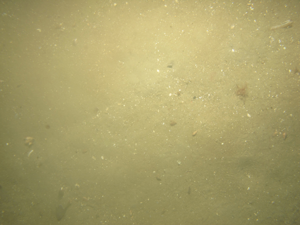
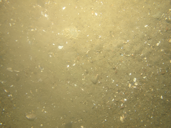
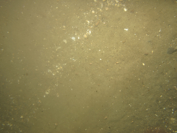
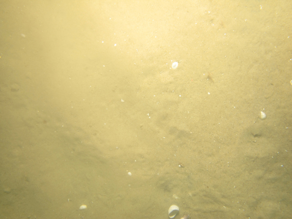
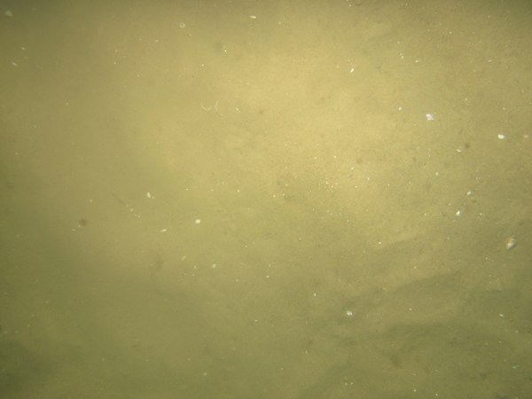
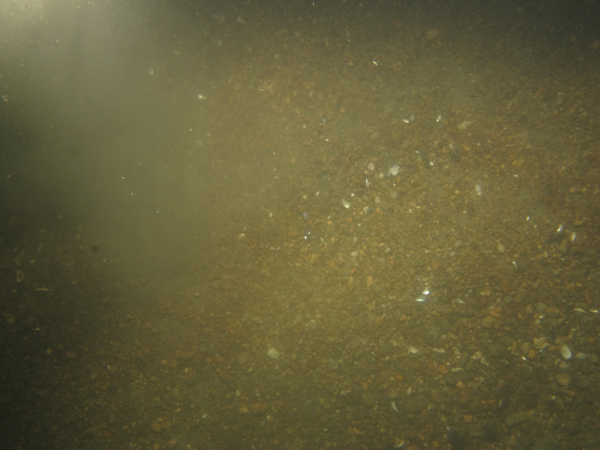
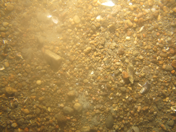
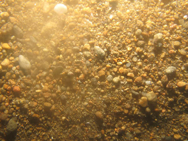
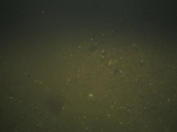
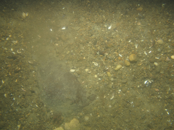
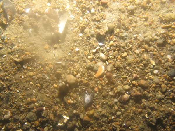
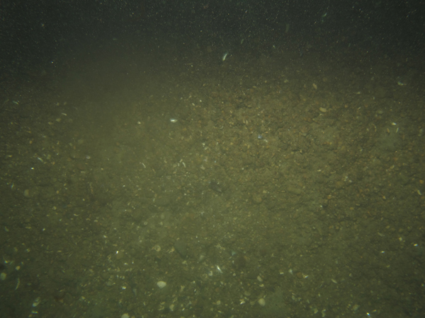
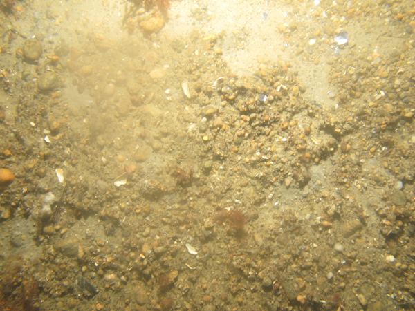
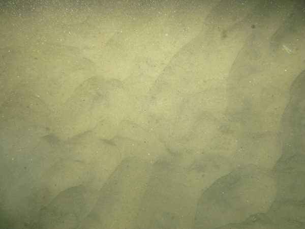
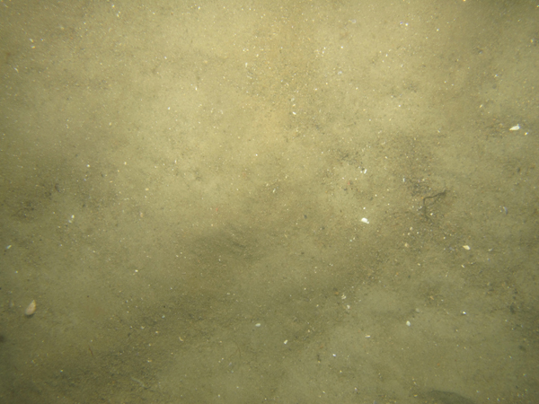
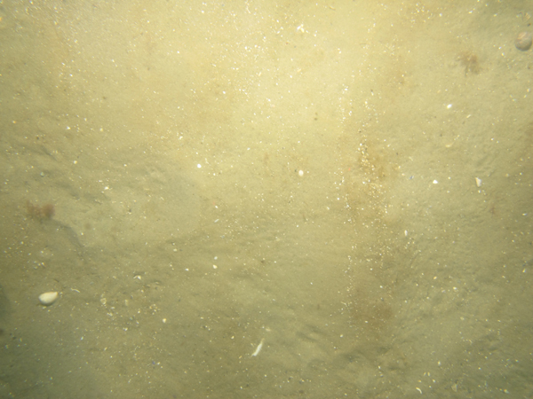
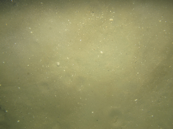
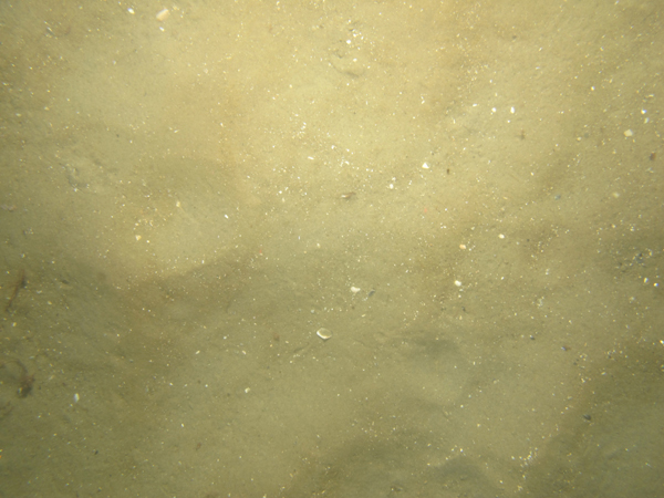
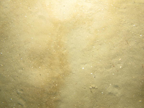
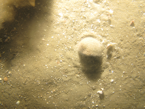
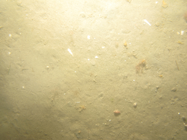
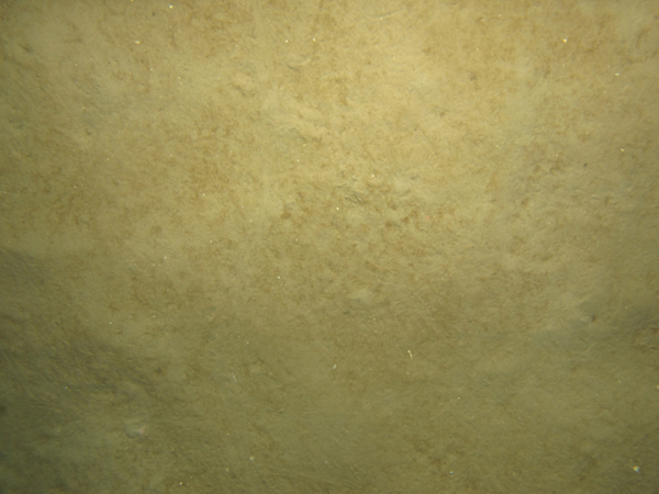
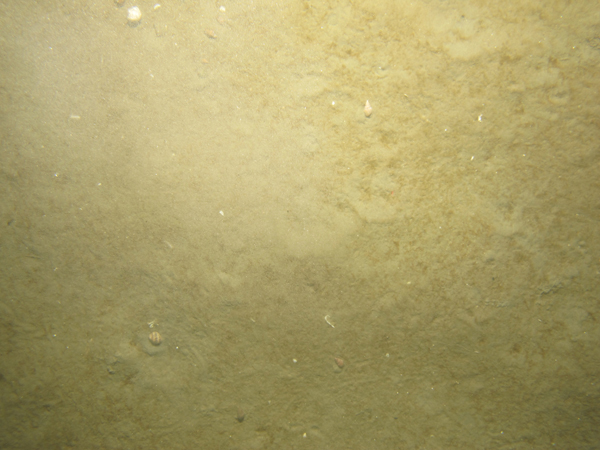
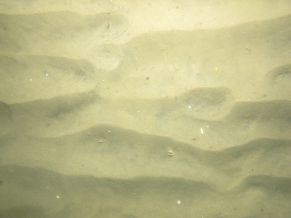
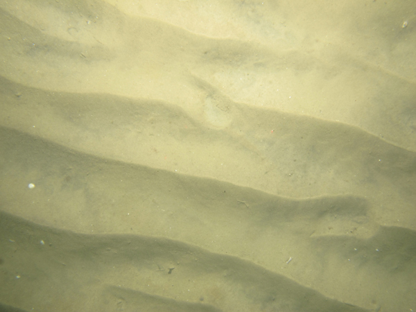
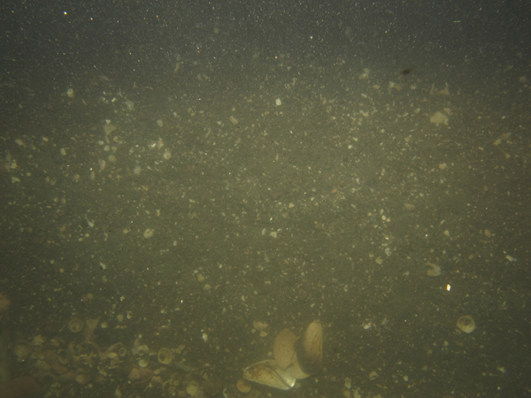
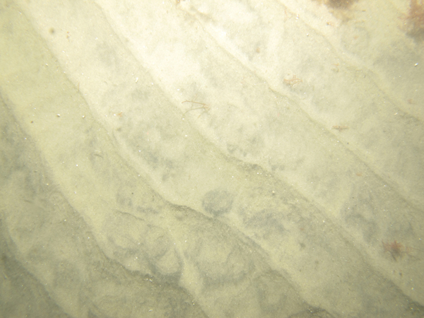
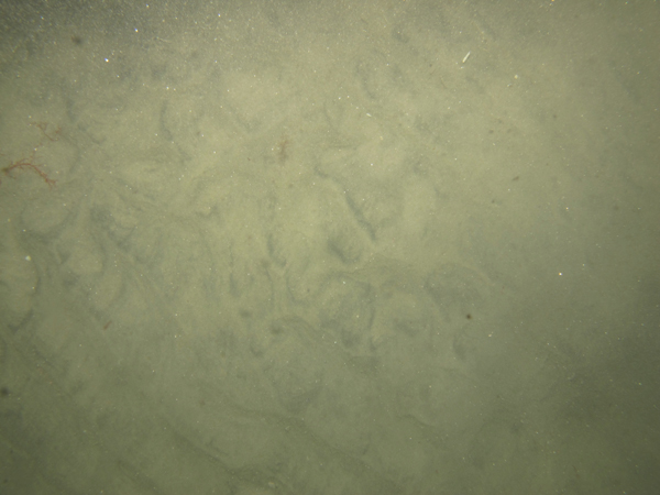
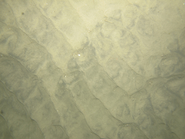
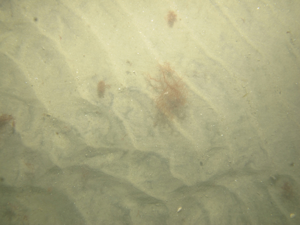
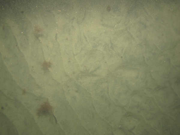
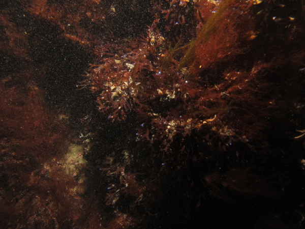
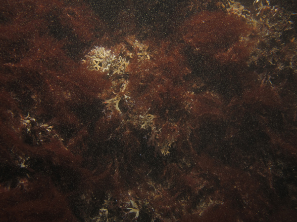
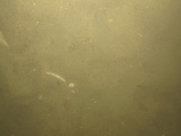
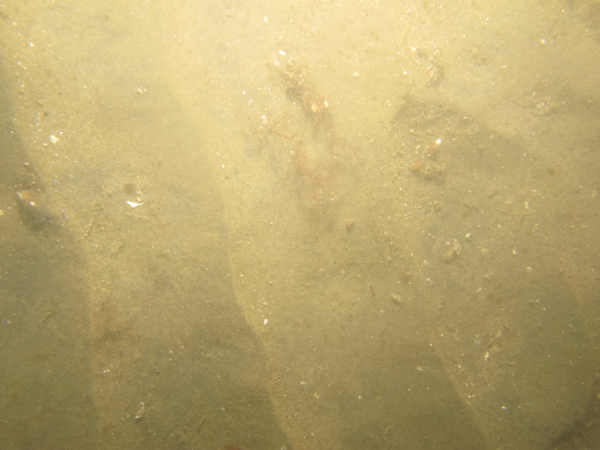
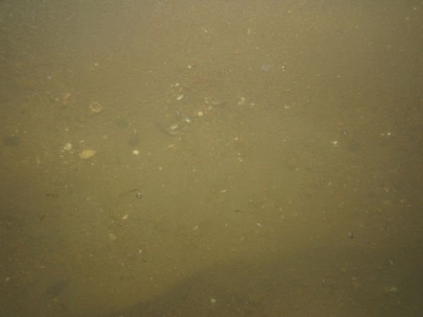
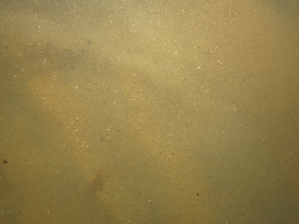
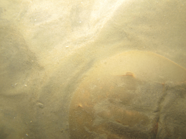
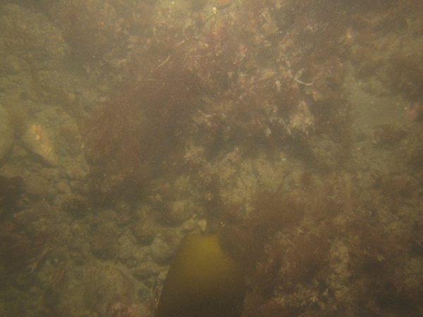
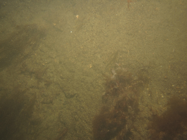
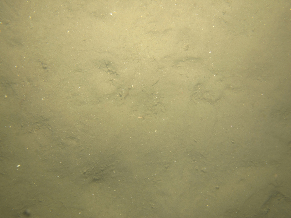
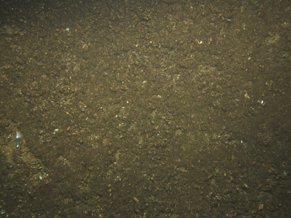
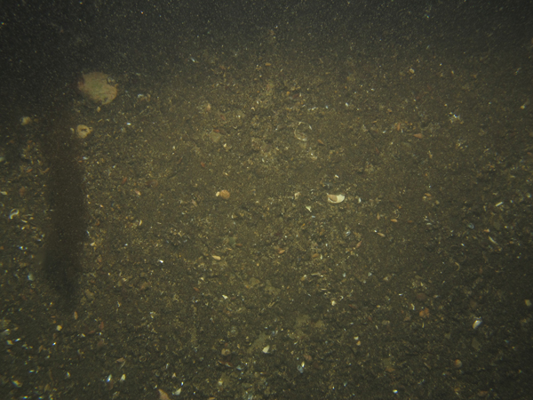
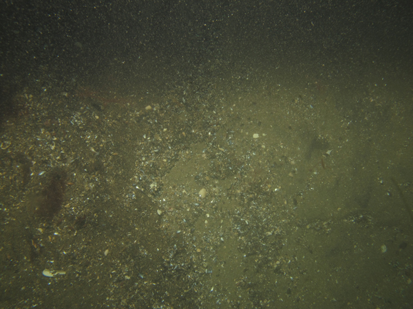
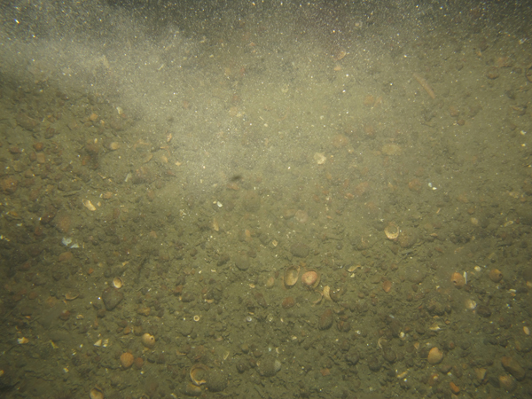
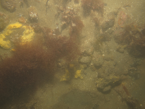
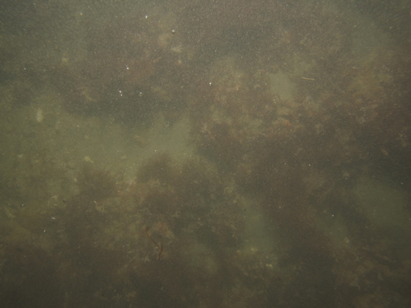
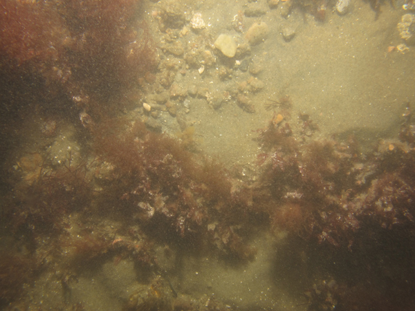
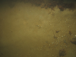
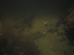
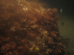
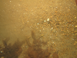
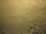
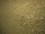
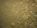
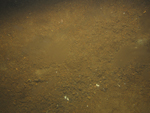
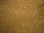
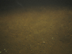
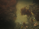
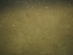
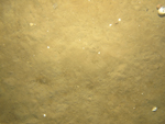
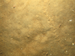
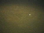
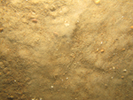
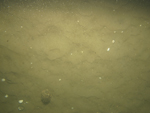
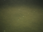
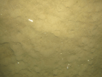
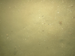
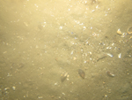
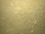
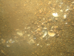
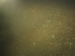
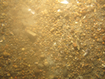
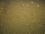
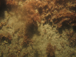
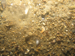
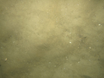
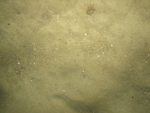
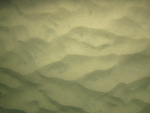
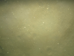
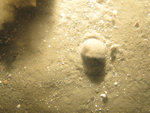
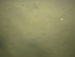
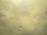
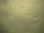
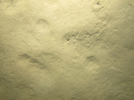
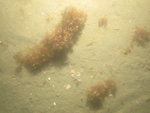
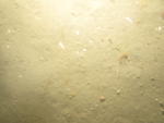
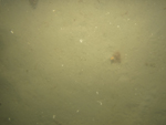
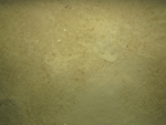
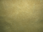
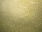
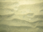
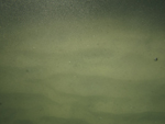
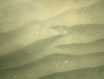
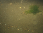
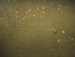
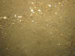
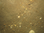
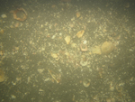
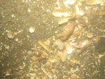
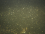
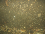
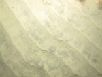
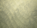
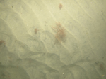
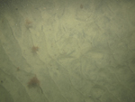
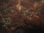
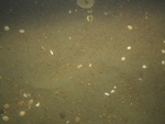
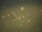
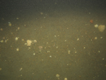
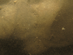
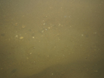
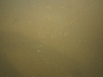
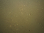
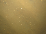
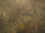
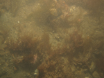
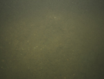
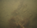
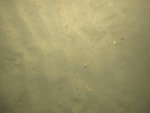
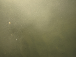
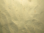
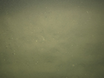
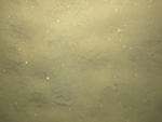
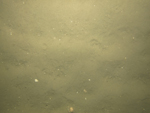
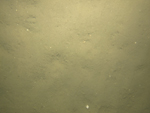
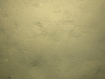
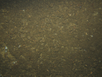
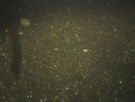
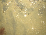
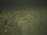
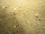
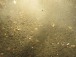
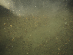
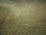
Several photographs and a few minutes of video of the sea floor were collected at each sampling station (fig. 21). This still and video photography shows that most sandy stations have ripples with scattered shells and shell hash, and coarser material often collects in the ripple troughs (fig. 22). Snails and crabs are often present in sandy locations. Gravelly and boulder areas often have algae and sponges and (or) tunicates growing on boulders, and fin fish are often present (fig. 23).
Low-resolution images (150 x 113 pixels) of the photographs can be viewed by browsing the thumbnails in the photograph gallery below. These thumbnails are linked to medium-resolution images (600 x 450 pixels) for more detailed viewing. A .zip file with all the medium-resolution images can be accessed by clicking here. The .zip file contains metadata about the photographs and their acquisition. A .zip file containing the full-resolution images (3648 x 2736 pixels) and metatdata can be accessed by clicking here. The images can be identified by using the .jpg image names in the galleries below. Individuals interested in obtaining video photography collected in this area can do so at the Data Library of the USGS Woods Hole Coastal and Marine Science Center, Woods Hole, Mass.
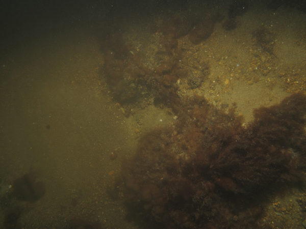
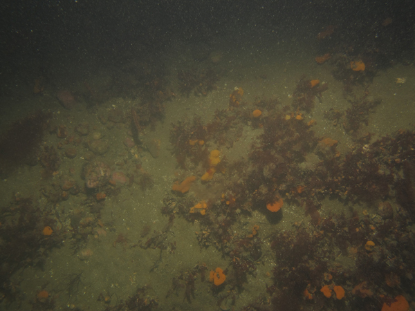
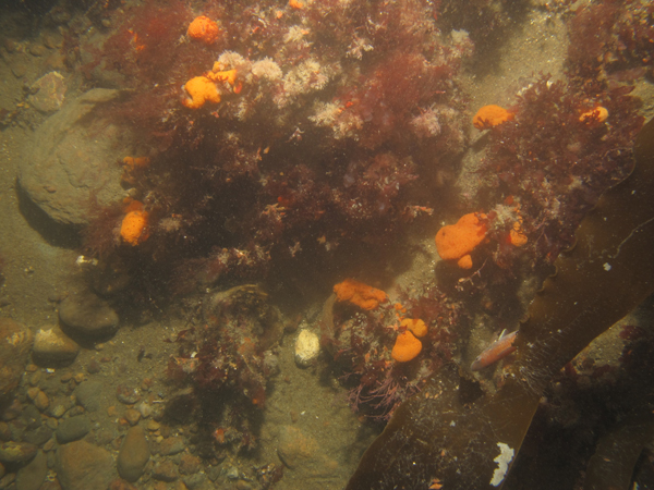
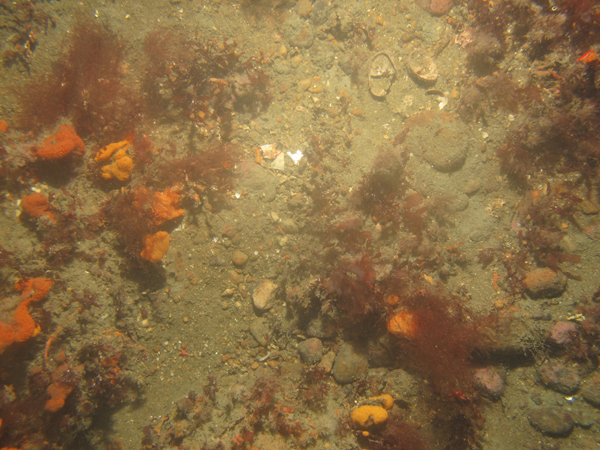
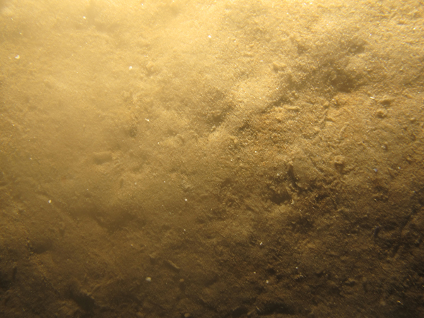
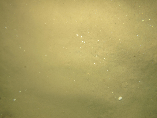
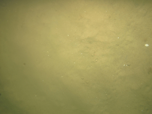
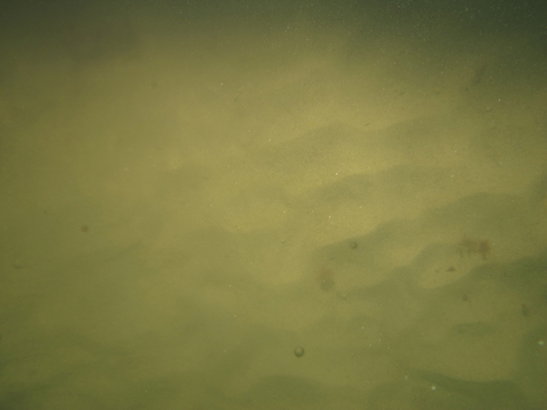
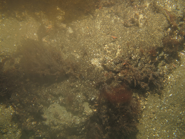
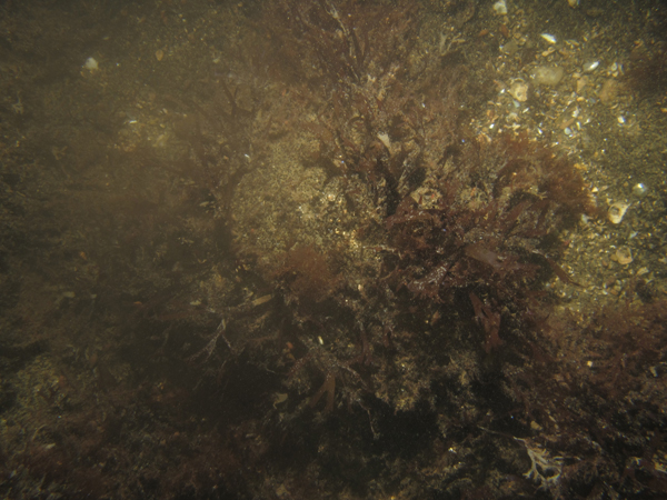
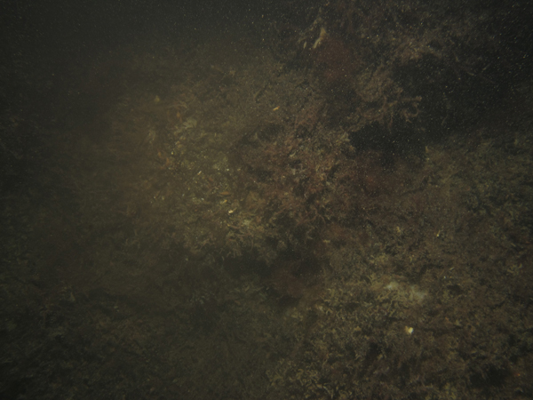
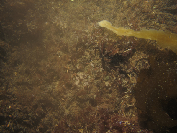
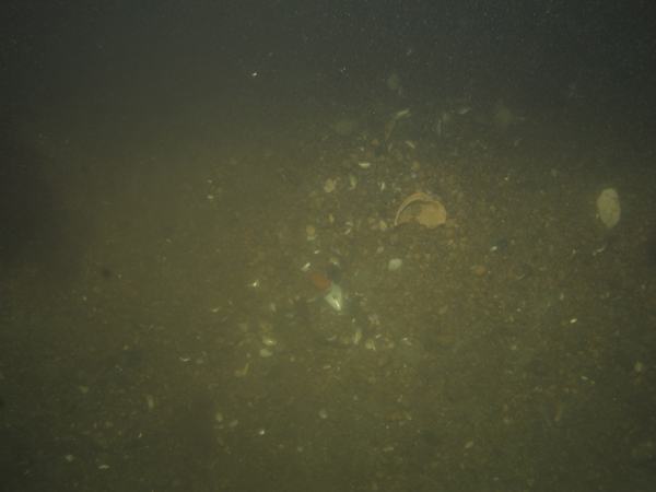
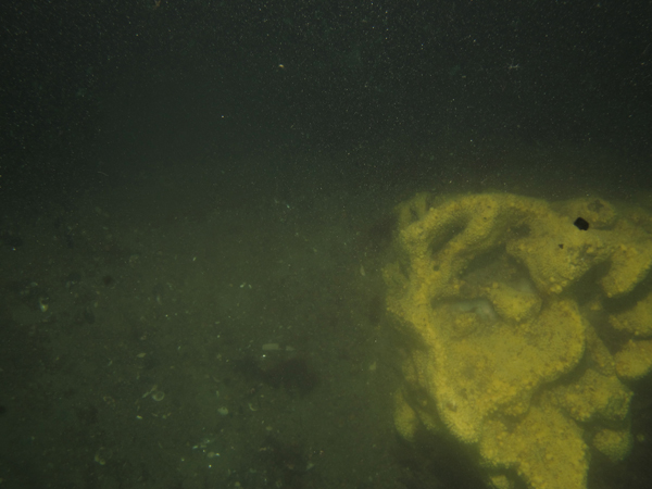
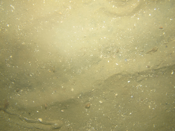
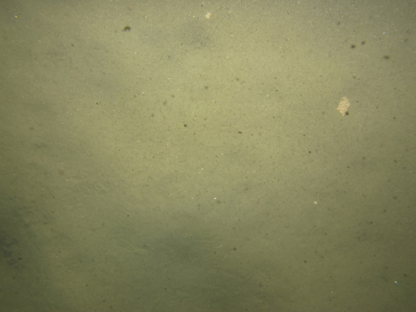
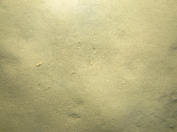
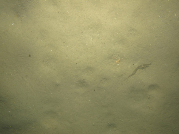
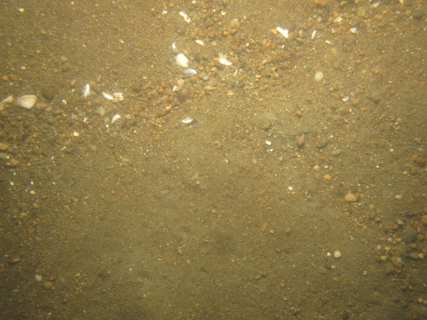
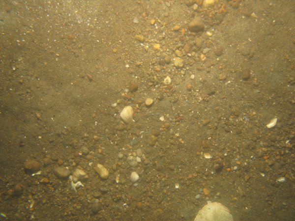
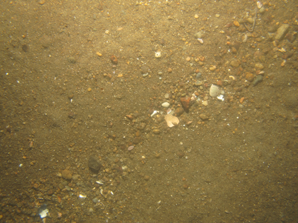
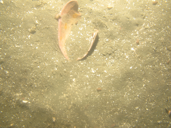
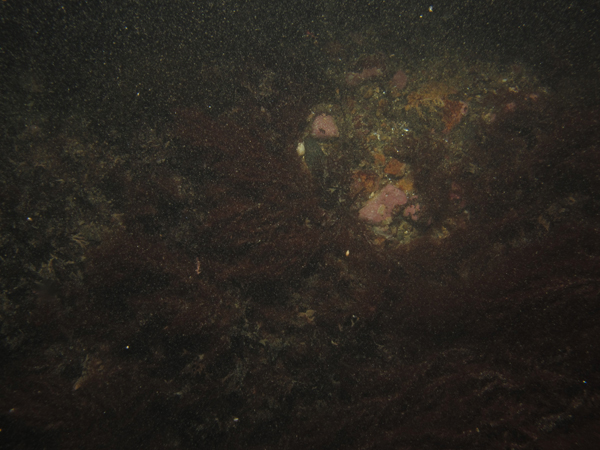
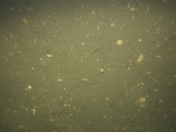
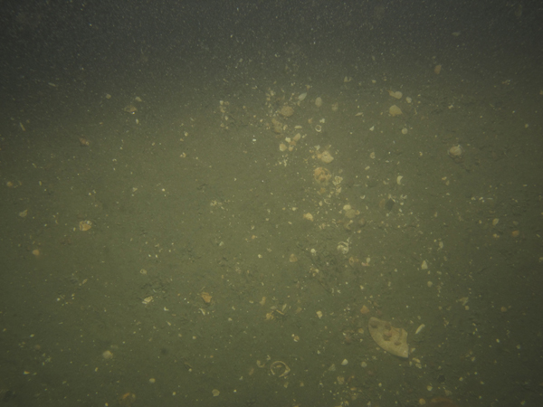
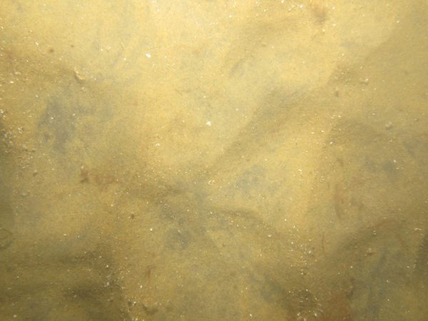
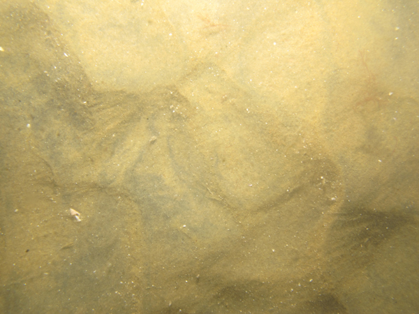
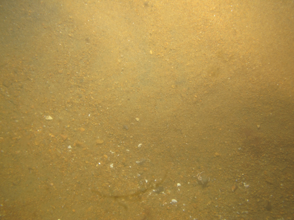
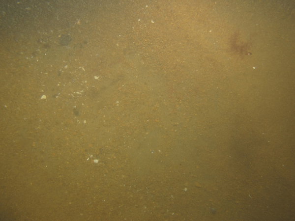
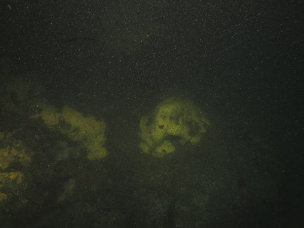
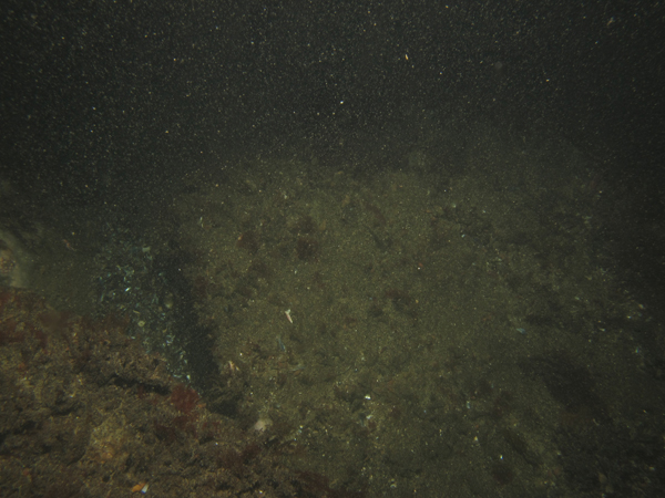
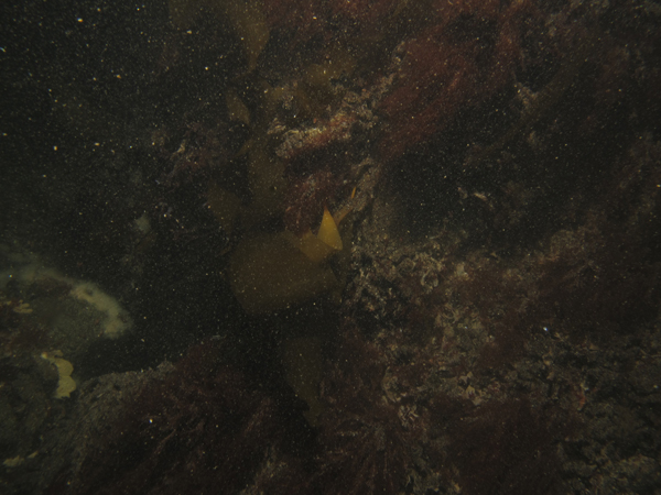
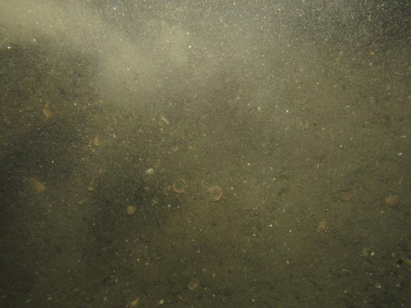
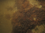
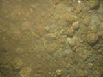
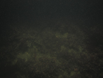
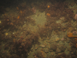
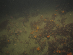
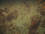
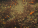
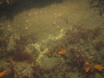
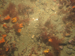
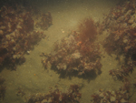
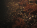
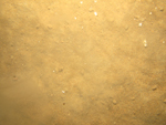
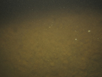
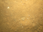
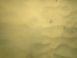
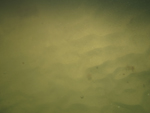
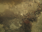
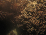
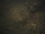
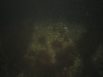
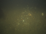
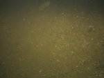
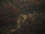
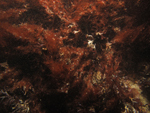
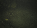
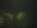
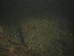
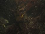
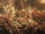
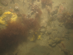
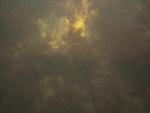
NBIS25 / Gravel, boulders, and rippled sand with coarse material in the troughs. Boulders are overgrown with algae. Scattered shell hash, kelp, sponges and (or) tunicates, fin fish, skate, and starfish are present. |
NBIS25a |
NBIS25b |
NBIS25c |
NBIS25d |

NBIS25e |
NBIS25f
|
|
|
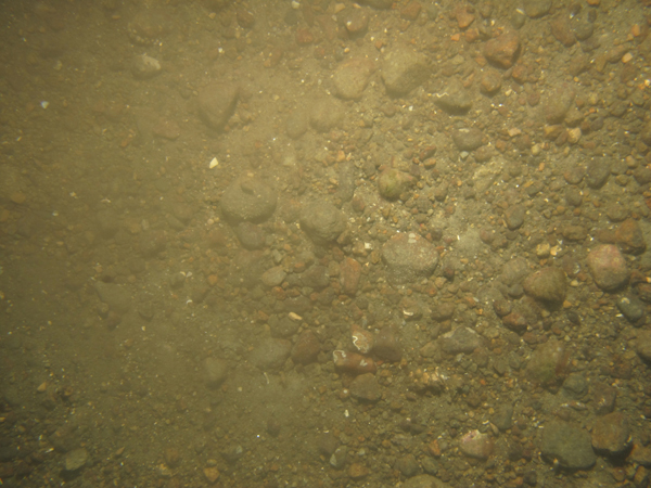
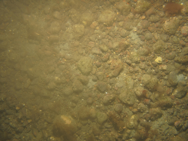
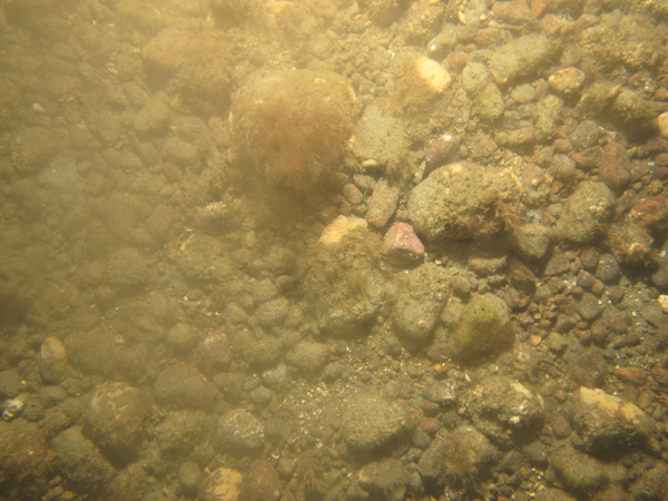
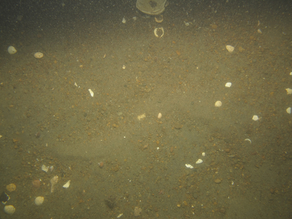
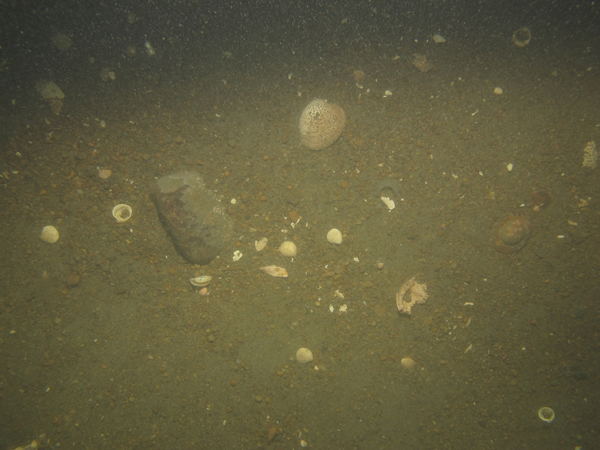
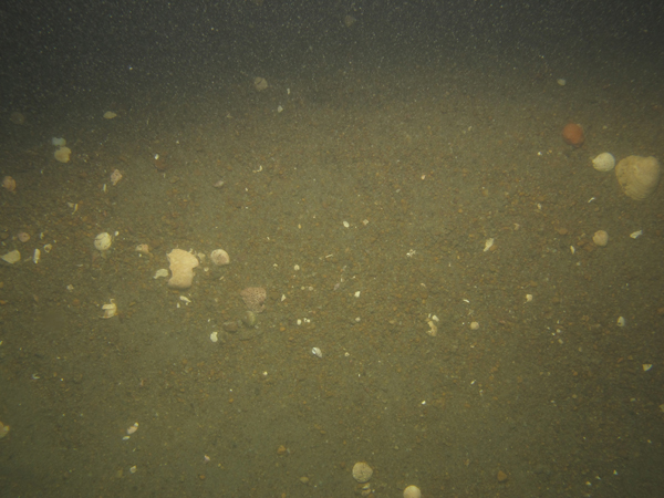
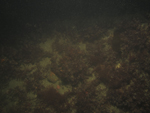
NBIS26 / Gravel with patches of sand and scattered shell hash. Rippled sea floor with coarser gravel in the troughs and finer gravel on the crests. Coarser gravel and cobbles are encrusted with barnacles and algae. |
NBIS26a |
NBIS26b |
NBIS26c |
|

NBIS26d |
NBIS26e
|
|
|
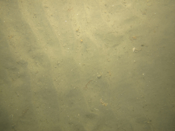
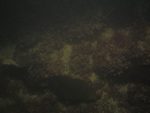
NBIS27 / Rippled sand and gravel with scattered shells and shell hash and coarse material in the troughs. Moon snail egg cases are present and ctenophores were observed in the water column. |

NBIS27a |
NBIS27b |

NBIS27c |
NBIS27d |
NBIS27e |

NBIS27f |
|
|
NBIS28 / Boulders and gravel with intervening patches of sand and scattered shells and shell hash. Boulders and cobbles are covered with algae and sponges and (or) tunicates. Kelp, fin fish, starfish, skate, and skate egg cases are present. |
NBIS28a |

NBIS28b |
NBIS28c |
NBIS28d |

NBIS28e |
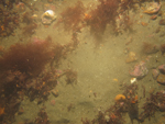
NBIS28f
|
NBIS28g |
|
NBIS29 / Boulders, gravel, and intervening patches of sand with scattered shells and shell hash. Boulders and cobbles are covered with algae, hydroids, and sponges and (or) tunicates. Anemones, kelp, fin fish, skate egg cases, ctenophores, and starfish are present. |
NBIS29a |

NBIS29b |
NBIS29c |
NBIS29d |
NBIS29e |
NBIS29f |
NBIS29g |
|
NBIS30 / Hummocky sand with burrows, animal tracks, snails, and scattered shell hash. |
NBIS30a |
NBIS30b |

NBIS30c |

NBIS30d
|
NBIS31 / Boulders with intervening patches of sand. Boulders are covered with algae, hydrozoans, and sponges and (or) tunicates. Fin fish and kelp are present. |
NBIS31a |
NBIS31b |
NBIS31c |
NBIS31d
|
NBIS32 / Sand with scattered shells and shell hash. Hermit crabs and ctenophores are present. |
NBIS32a |
NBIS32b |
NBIS32c
|
NBIS32d |
NBIS33 / Sand with scattered shells and shell hash. Crabs, animal tracks, and small burrows are present. |
NBIS33a |
NBIS33b |
NBIS33c |
|
NBIS33d |
NBIS33e
|
|
|
NBIS34 / Sand with scattered shells and shell hash. Moon snail egg case and crabs are present. |

NBIS34a |
NBIS34b |
NBIS34c |

NBIS34d |
NBIS34e |

NBIS34f |
NBIS34g
|
|
NBIS35 / Rippled sand with scattered shells and shell hash. Hermit crabs are present. |
NBIS35a |
NBIS35b |

NBIS35c |
NBIS35d
|
NBIS36/ Rippled sand and gravel with abundant shells, shell hash, and floating algae. Coarser material collects in ripple troughs. Several cobbles are present at the end of the transect. |
NBIS36a |
NBIS36b |
NBIS36c |
|
NBIS36d |
NBIS36e
|
|
|
NBIS37 / Rippled sand with scattered shells and shell hash. Animal tracks, skate egg case, and hermit crabs are present. |
NBIS37a |
NBIS37b |
NBIS37c |
|
NBIS37d |
NBIS37e
|
|
|
NBIS38 / Rippled sand with sparsely scattered shells, shell hash, and floating algae. |
NBIS38a |
NBIS38b |
NBIS38c
|
|
NBIS39 / Patches of sand and gravel, and boulders covered with algae. Kelp, snails, and sponges and (or) tunicates are present. |
NBIS39a |
NBIS39b |

NBIS39c |
NBIS39d |

NBIS39e |
NBIS39f |
|
|
NBIS40 / Rippled sand and pea gravel with scattered shells and shell hash. Coarser material collects in the ripple troughs. |
NBIS40a |
NBIS40b |
NBIS40c |
|
NBIS40d |
NBIS40e |
|
|
NBIS41 / Sand and pea gravel with scattered shells and shell hash. |

NBIS41a |
NBIS41b |
NBIS41c |
NBIS41d
|
NBIS42 / Boulders, gravel, and patches of sand with abundant shells and shell hash. Boulders covered with algae and sponges and (or) tunicates. |
NBIS42a |
NBIS42b |
NBIS42c |
NBIS42d |

NBIS42e |

NBIS42f |
|
|
NBIS43 / Rippled sand with scattered shells and shell hash. |
NBIS43a |
NBIS43b |
NBIS43c |
|
NBIS43d |
NBIS43e
|
|
|
NBIS44 / Rippled sand with scattered shells and shell hash. |

NBIS44a |
NBIS44b |

NBIS44c |

NBIS44d
|
NBIS45 / Rippled sand with abundant shell hash and scattered shells. |
NBIS45a |
NBIS45b |
NBIS45c |
NBIS45d
|
NBIS46 / Sand with animal tracks and burrows. |
NBIS46a |
NBIS46b |
NBIS46c
|
NBIS46d |
NBIS47 / Sand with animal tracks, hermit crabs, floating algae, scattered shells, and shell hash. |
NBIS47a |
NBIS47b |
NBIS47c |

NBIS47d
|
NBIS48 / Sand with animal tracks, fine algae, scattered shells, and shell hash. |
NBIS48a |
NBIS48b |
NBIS48c |
NBIS48d
|
NBIS49 / Rippled sand with scattered shell hash. |
NBIS49a |
NBIS49b |

NBIS49c |
NBIS49d
|
NBIS50 / Rippled sand with shells and gravel in ripple troughs. |
NBIS50a |
NBIS50b |
NBIS50c |
|
NBIS50d |

NBIS50e
|
|
|
NBIS51 / Rippled sand and gravel with abundant shells, shell hash, and pea gravel in ripple troughs. |
NBIS51a |

NBIS51b |
NBIS51c |
|
NBIS51d |
NBIS51e
|
|
|
NBIS52 / Rippled sand with floating algae and scattered shell hash. |
NBIS52a |
NBIS52b |
NBIS52c |
|
NBIS52d |
NBIS52e
|
|
|
NBIS53 / Boulders and gravel encrusted with algae, hydroids, and sponges and (or) tunicates. Fin fish and kelp are present. |
NBIS53a
|

NBIS53b |
NBIS53c |

NBIS53d |
NBIS53e |

NBIS53f |
|
|
NBIS54 / Sand and gravel with a few cobbles, scattered shells, and shell hash. Crabs, moon snail, and moon-snail egg case are present. |
NBIS54a |
NBIS54b |
NBIS54c |
|
NBIS54d |
NBIS54e
|
|
|
NBIS55 / Sand with abundant scattered shells and shell hash. Crabs and snails are present. |
NBIS55a |
NBIS55b |
NBIS55c |
|
NBIS55d |
NBIS55e
|
|
|
NBIS56 / Rippled sand with floating algae, scattered shells, and shell hash. |
NBIS56a |
NBIS56b |

NBIS56c |
|
NBIS56d |
NBIS56e
|
|
|
NBIS57 / Rippled sand with gravel in ripple troughs and scattered shells and shell hash. |
NBIS57a |
NBIS57b |
NBIS57c |
NBIS57d
|
NBIS58 / Rippled sand with scattered shell hash and floating algae. |
NBIS58a |
NBIS58b |
NBIS58c |
|
NBIS58d |
NBIS58e
|
|
|
NBIS59 / Rippled sand with gravel, shells, and shell hash collecting in the troughs. Crabs are present. |

NBIS59a |
NBIS59b |
NBIS59c
|
|
NBIS60 / Rippled sand with scattered shell hash. |
NBIS60a |
NBIS60b |
NBIS60c |
NBIS60d
|
NBIS61 / Rippled sand with scattered shells and shell hash. A horseshoe crab is present. |
NBIS61a |
NBIS61b |

NBIS61c |
|

NBIS61d |
NBIS61e
|
|
|
NBIS62 / Gravel and boulders encrusted with algae, hydroids, and sponges and (or) tunicates. Kelp, moon snail egg case, and crabs are present. |
NBIS62a |
NBIS62b |

NBIS62c |
NBIS62d |
NBIS62e |
NBIS62f
|
|
|
NBIS63 / Rippled sand with spider crabs and skate present. |
NBIS63a |
NBIS63b |
NBIS63c |
NBIS63d
|
NBIS64 / Rippled sand with scattered shell hash. Snails and crabs are present. |
NBIS64a |
NBIS64b |
NBIS64c |
|
NBIS64d |
NBIS64e
|
|
|
NBIS65 / Mussel beds, boulders, gravel, and rippled sand with scattered shells and shell hash collecting in troughs. Boulders are covered with algae and sponges and (or) tunicates. Kelp, fin fish, and skate are present. |
NBIS65a |
NBIS65b |
NBIS65c |
NBIS65d |
NBIS65e |
NBIS65f
|
NBIS65g |
NBIS65h |
NBIS67 / Rippled sand and gravel with abundant scattered shells and shell hash. Skate, moon snails, and moon snail egg cases are present. |
NBIS67a |

NBIS67b |
NBIS67c |
|
NBIS67d |
NBIS67e
|
|
|
NBIS69 / Boulders with intervening patches of sand and gravel. Boulders are covered with algae and sponges and (or) tunicates. Kelp is present. |
NBIS69a |
NBIS69b |
NBIS69c |
NBIS69d |
NBIS69e |

NBIS69f
|
|
|