
1. Wall Mountain Tuff (Twm, 36.9 Ma)
|
2. Bonanza Tuff (Tbd, 33.2 Ma)
|
3. Volcanic and intrusive rocks of the Conejos Formation
|
4. Basalt of point Benny (30.22±0.10 Ma)
|
|
5. Saguache Creek Tuff (Tsc, 32.2 Ma)
|
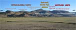
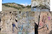
6. East wall of North Pass caldera
|
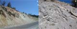
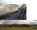
7. Chaotic breccias along west margin of North Pass caldera
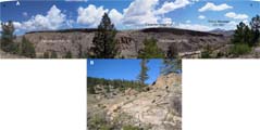
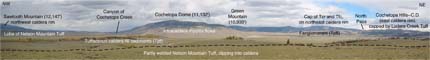
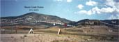
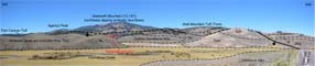
|
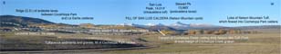
8. Fill of North Pass caldera
|
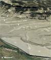
|
9. Andesite of Lone Tree Gulch (Tla)
|
10. Outflow ignimbrite sheet of Fish Canyon Tuff
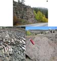
|

11. Carpenter Ridge Tuff (Tcr)
|
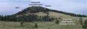
12. Wason Park Tuff (Tw) and Sheep Creek fault zone
|
|

13. Huerto Andesite (Thu)
|
14. Panoramic view of the western side of Cochetopa Park
|
15. Outflow ignimbrites erupted from the San Luis caldera complex
|
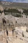
16. Nelson Mountain Tuff (26.90 Ma)
|
|
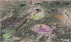
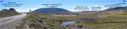
17. Oblique view (Google Earth), looking north at Cochetopa and North Pass calderas
|
18. Panorama of Cochetopa Park caldera
|
19. Cochetopa Dome Rhyolite
|

20. North topographic rim of Cochetopa Park caldera
|
|
21. Caldera-collapse landslide breccia, clasts of Fish Canyon Tuff
|
22. Coarse caldera-margin fanglomerate (Tpff)
|
23. North caldera margin
|
24. Cochetopa Park caldera and Cochetopa Dome
|
|
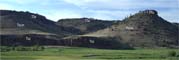
25. Prosser Rock
|
26. High snow-covered peaks of San Luis caldera complex
|
27. Northwest topographic rim of Cochetopa Park caldera
|

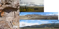
28. Precambrian granitic rocks (pCg)
|
|
Click on a thumbnail for a larger view and a description of the photograph.
![[Link to USGS home page]](volcban2.gif)