SIR 2007-5109
Prepared in cooperation with
U.S. Navy, Naval Facilities Engineering Command
 |
Select an option: |
|
CONTENTS Abstract Introduction Purpose and Scope Description of Study Area Data Collection and Fieldwork Hydrogeologic Setting Recovery System Test Results and Discussion Water-Level Trends in the Upgradient and Downgradient Wells Ground-Water Level Responses in Representative Wells and Well Nests Water-Level Differences Between the Shallow and Deep Wells During Non-Pumping Conditions Ground-Water Flow During Non-Pumping Conditions Ground-Water Flow During Pumping Conditions Occurrence of Trichloroethene Determination of Recovery Well Contributing Areas Summary and Conclusions References |
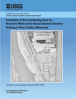
The Naval Industrial Reserve Ordnance Plant is located on the southernmost tip of Anoka County, Minnesota, within the City of Fridley, and about one-quarter mile east of the Mississippi River. Industrial production at the plant began in 1941 and has continued since that time. Contamination spills and poor disposal practices in the past have led to significant ground-water contamination beneath the facility. A ground-water recovery (and containment) system began operation in 1992 to prevent contaminated ground-water from migrating off site. In an effort to determine the effectiveness of the recovery system, pressure transducers were installed in 23 monitoring wells, multiple hand water-level measurements were taken in an additional 56 wells, and two extensive rounds of water-level measurements were taken in all wells (one during pumping and one during non-pumping conditions).
The cones of depression of the shallow flow
zone wells AT-8 (17 gallons per minute (gal/min) and AT-9 (142 gal/min) overlap to form one broad cone, while the cone of depression of well AT-7 (42 gal/min) was more isolated. Shallow flow zone well AT-5A (156 gal/min) had a large, broad cone of depression which was the result of the relatively high pumping rate and the relatively high permeability of 200 feet per day (ft/d). Intermediate flow zone well AT-3A (182 gal/min) had a broad cone of depression that extended to the intermediate clays; well AT-10 (23 gal/min) had a relatively steep cone because it was screened in a relatively low-permeability zone. Deep flow zone well AT-5B (86 gal/min) had a broad cone of depression. Intermediate well AT-3A appears to be drawing water
up vertically out of the deep flow zone.
The combined contributing areas of recovery wells AT-7, AT-8, and AT-9 capture the high levels of trichloroethene (TCE) contamination (greater than 100 parts per billion (ppb) along their combined axis. Well AT-5A has a broad contributing area that reaches approximately halfway to the Mississippi River and captures the eastern flank of the highest levels of contamination in the shallow zone; but it does not capture the highest levels that will still discharge to the Mississippi River. The combined contributing areas of wells AT-3A and AT-10 should capture the TCE contamination in the intermediate zone that is moving off site. Well AT-5B captures about a third of the TCE contamination in the deep flow zone where the concentration exceeds 100 ppb.
Davis, J.H., 2007, Evaluation of the Contributing Area for Recovery Wells at the Naval Industrial Reserve Ordnance Plant, Fridley, Minnesota: U.S. Geological Survey Scientific Investigations Report 2007-5109, 50 p.
U.S. Geological Survey
Florida Integrated Science Center
Suite 100
2010 Levy Avenue
Tallahassee, FL 32310
850-942-9500

![]() U.S. Department of the Interior | U.S. Geological Survey
U.S. Department of the Interior | U.S. Geological Survey
Persistent URL: https://pubs.usgs.gov/sir/2007/5109/
Page Contact Information: USGS Publishing Network
Page Last Modified: Thursday, 01-Dec-2016 19:49:13 EST