![]()
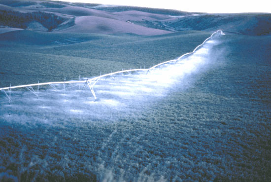 (Photo by Terry R. Maret) |
| NAWQA data and activities laid the framework for developing maps showing the vulnerability of ground water to contamination by the widely used herbicide atrazine (see, for example, p. 72). These maps are being used by the Idaho State Department of Agriculture to develop its State Pesticide Management Plan. |