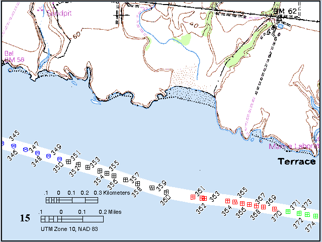

Click on a point to view an image (30 kb). For clarity, a different symbol is used to represent each group of 10 points. Missing numbers are of duplicate images. The base maps are USGS 7.5-minute DRGs (digital raster graphics).
Previous window | Next window | Regional map | Home

Chezar, Henry, and Wong, Florence L., 2000, Año Nuevo to Santa Cruz, California - a photographic tour of the coastline: U.S. Geological Survey Digital Data Series DDS-61; 1 CD-ROM.