
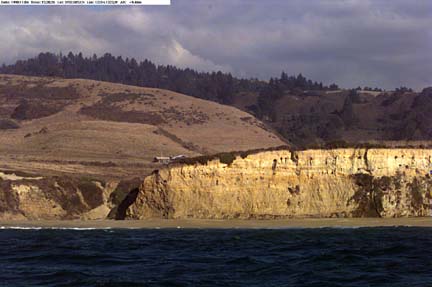
72 dpi, approx 30 Kb | 300 dpi, approx. 1 Mb
Click on the image to view an enlargement. GPS data, if available, appear in upper left of image and are legible on the enlargement. Find the image number on "Detailed map" for the location from which this photograph was taken.
Previous image | Next image | Detailed map | Regional map | Home
Chezar, Henry, and Wong, Florence L., 2000, Año Nuevo to Santa Cruz, California - a photographic tour of the coastline: U.S. Geological Survey Digital Data Series DDS-61; 1 CD-ROM.