|


|
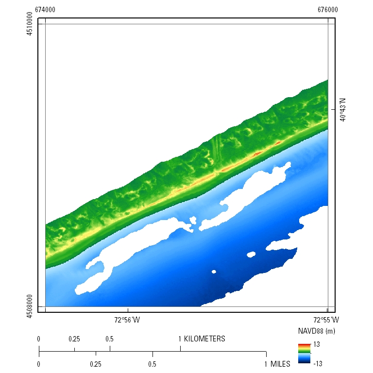
EAARL-B Coastal Topography—Fire Island, New York, Pre-Hurricane Sandy, 2012: Seamless (Bare Earth and Submerged)
UTM Tile e674_n4510_18
Pre-Hurricane Sandy: 2.5-meter resolution

- Link To Tile Directory
Click the link above to access the GeoTIFF, LAS, and XYZ data organized in 2-km by 2-km tiles.
- GeoTIFF DEM .tif File
PLEASE NOTE: GeoTIFF files can only be viewed using software capable of reading georeferenced 32-bit floating point format imagery, such as Global Mapper, GRASS, or Esri ArcMap.
|