GIS Datasets
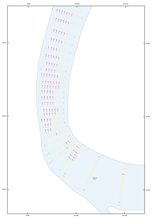
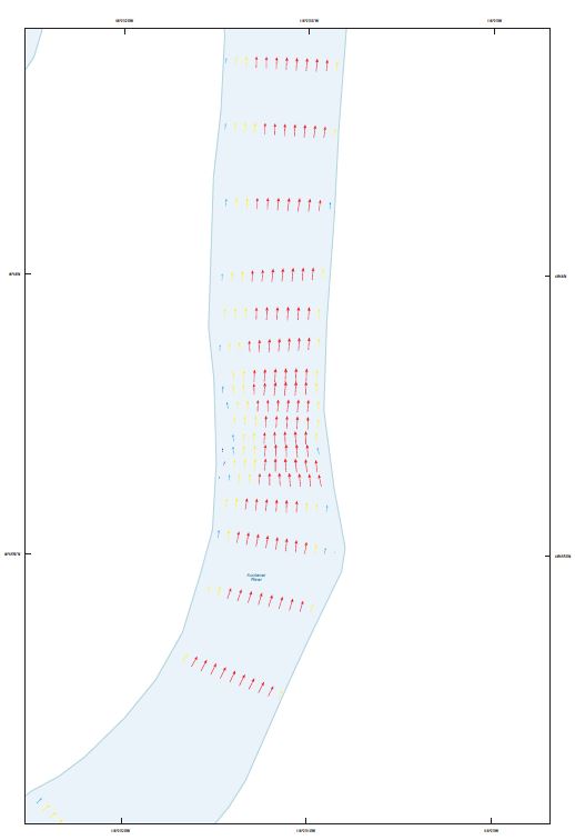
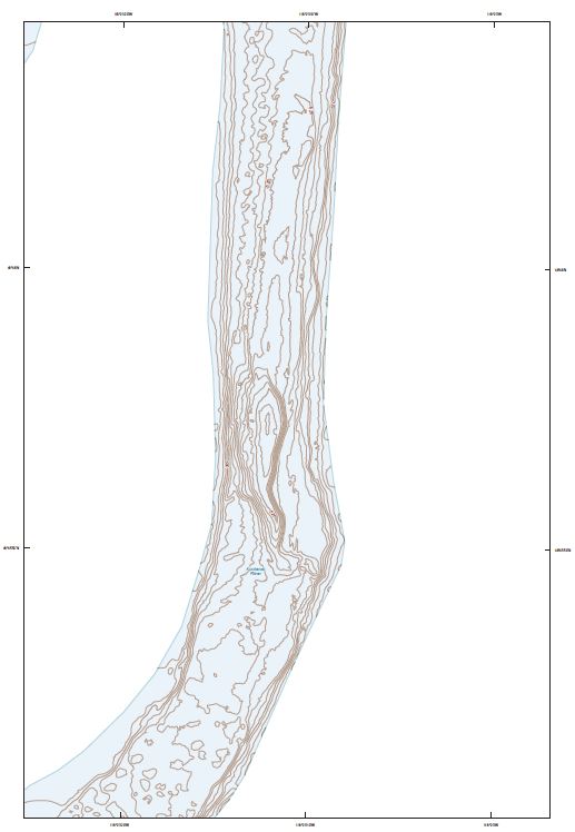
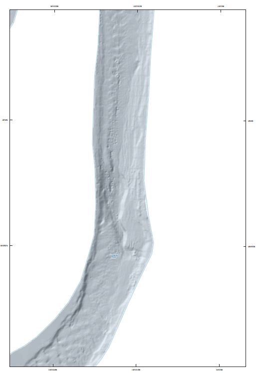
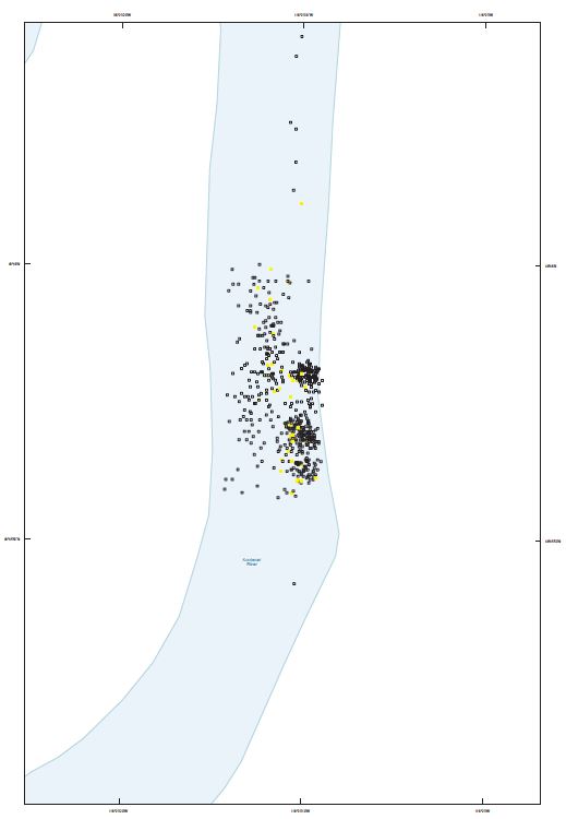
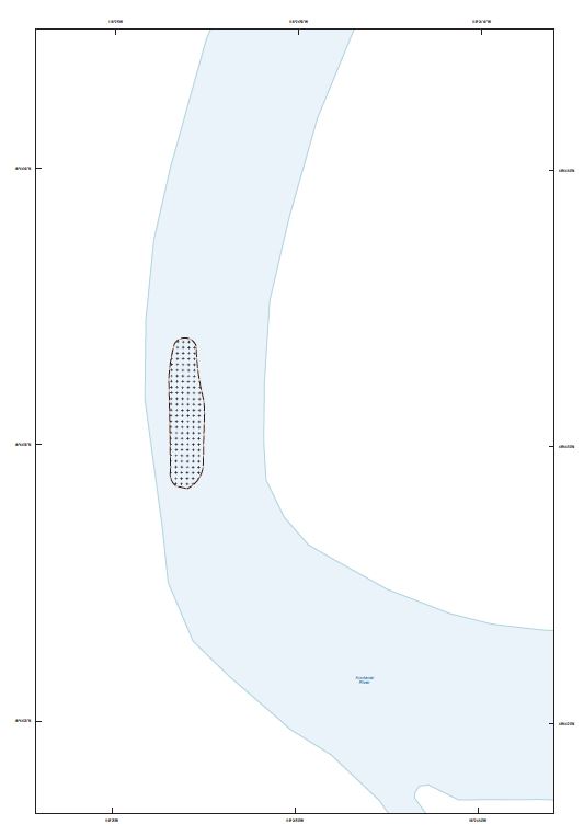
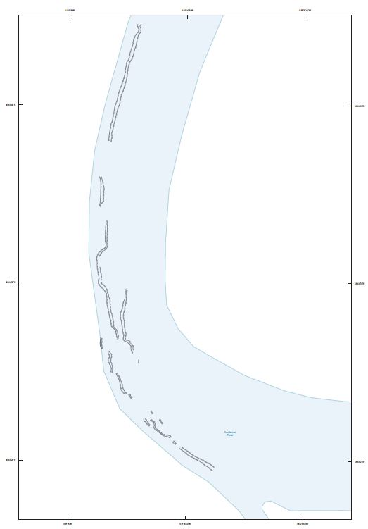
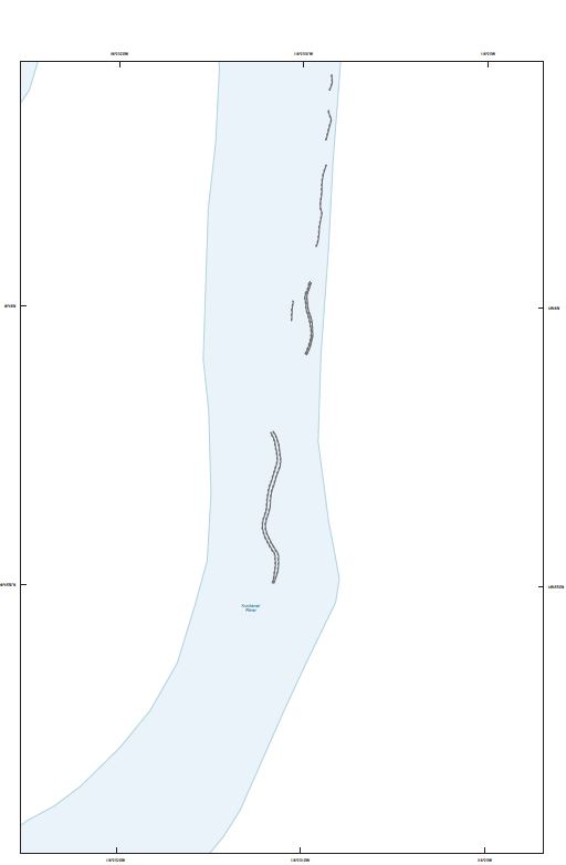
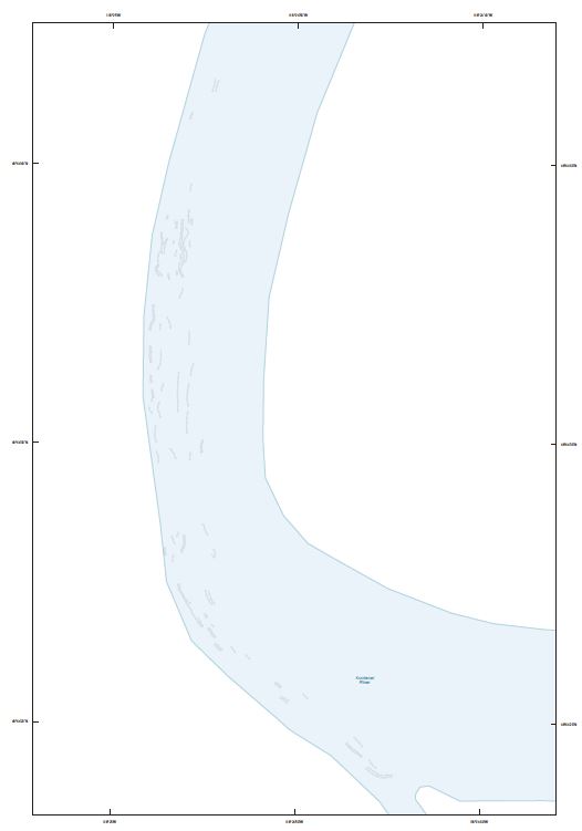
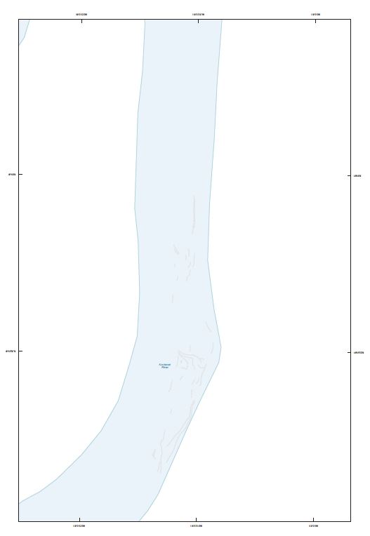
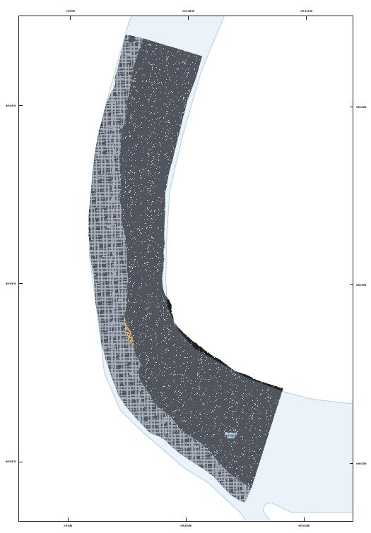
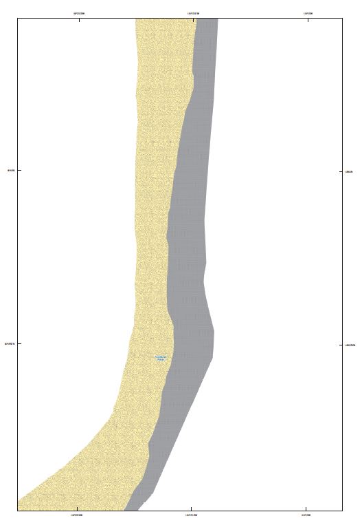
Table 2. Metadata, preview illustrations, and compressed geospatial data sets for the Myrtle Bend and Shorty’s Island substrate enhancement pilot projects, Kootenai River near Bonners Ferry, Idaho.
|
First posted October 24, 2014
Part or all of this report is presented in Portable Document Format (PDF). For best results viewing and printing PDF documents, it is recommended that you download the documents to your computer and open them with Adobe Reader. PDF documents opened from your browser may not display or print as intended. Download the latest version of Adobe Reader, free of charge. More information about viewing, downloading, and printing report files can be found here.
|