Data Series 930
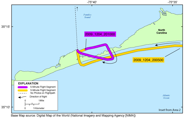
Click on a segment name to view the contact sheet.

| Figure 7. Map showing the extent of Hatteras Inset Map for the post-Nor'Ida coastal oblique aerial photographs from Hatteras Village to Frisco, North Carolina. The flightpath is divided into 5-minute segments and is represented by the alternating purple and yellow line. Pages containing thumbnail images of photographs, referred to as contact sheets, were created based on these segments. |