Data Series 930
Click on a segment name to view the contact sheet.
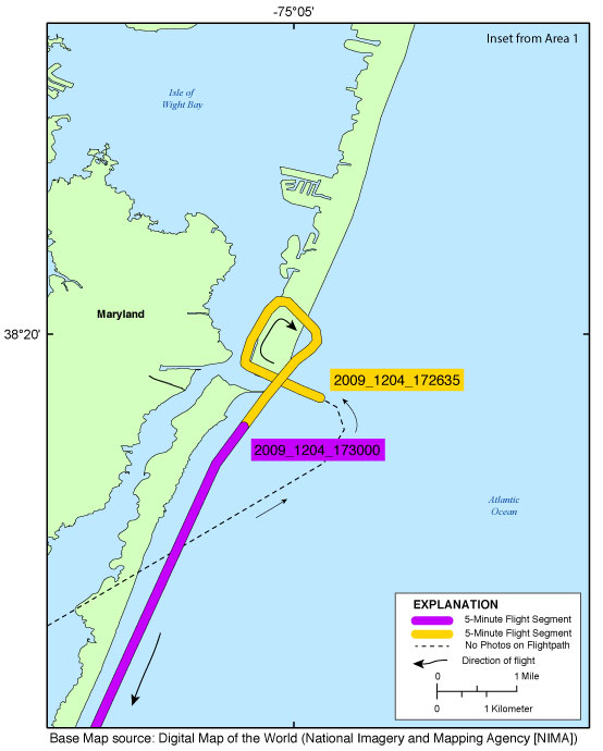
| Figure 4. Map showing the extent of Ocean City Inset Map for the post-Nor'Ida coastal oblique aerial photographs from Ocean City, through the north end of Assateague Island, Maryland. The flightpath is divided into 5-minute segments and is represented by the alternating purple and yellow line. Pages containing thumbnail images of photographs, referred to as contact sheets, were created based on these segments. |

![]() U.S. Department of the Interior |
U.S. Geological Survey
U.S. Department of the Interior |
U.S. Geological Survey
URL: http://pubsdata.usgs.gov/pubs/ds/0930/html/ds930_inset_oceancity.html
Page Contact Information: GS Pubs Web Contact
Page Last Modified: Monday, 28-Nov-2016 20:35:00 EST
