Data Series 1006
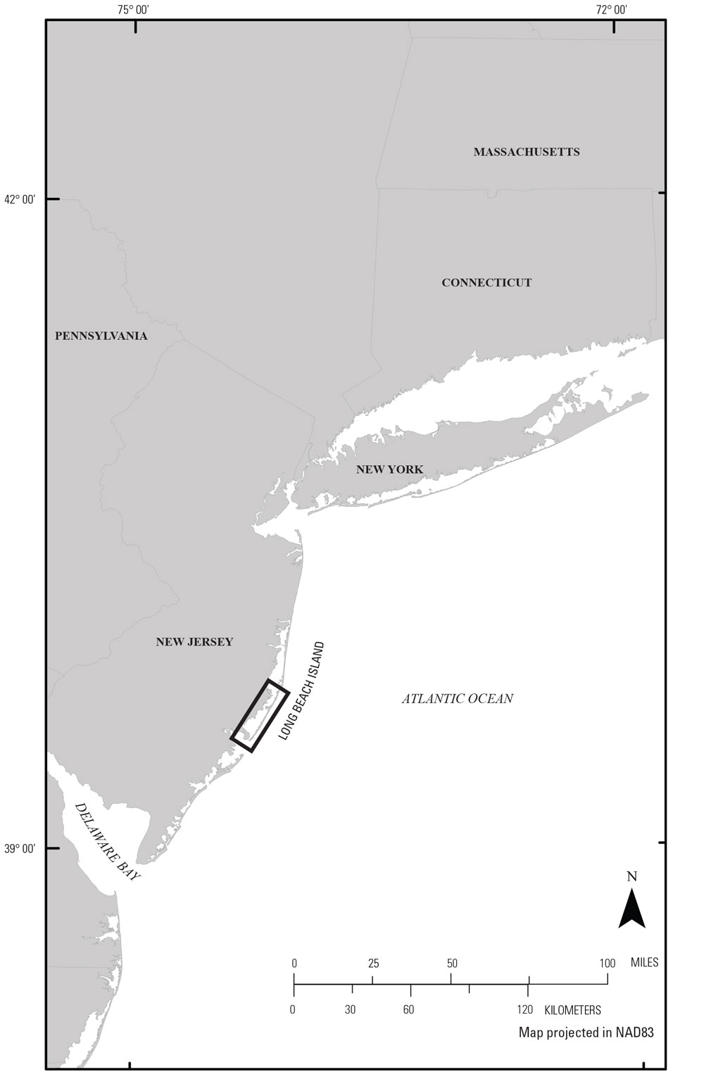
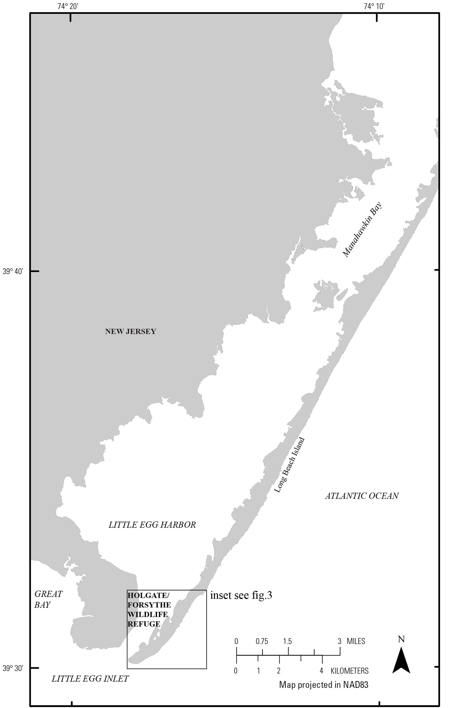
| IntroductionHurricane Sandy made landfall near Brigantine, New Jersey, approximately 10–13 kilometers (km) south of the study site on October 29, 2012 (Blake and others, 2013). The tropical storm created washover deposits and changed the shoreline of Long Beach Island off the coast of New Jersey. Long Beach Island (fig.1, 2) is a wave-dominated barrier system, and the southern tip of the island has been designated a National Wildlife Refuge (fig. 3) and remains undeveloped; consequently, the island is an excellent area to study coastal change—without human modification (such as structures)—resulting from storm impacts. As part of the U.S. Geological Survey (USGS) response to Hurricane Sandy (Buxton and others, 2013), USGS scientists collected and analyzed imagery, elevation, sediment, and geophysical data to evaluate and update coastal change models and predictive capabilities (for examples, see Stockdon and others, 2013; Sopkin and others, 2014; Ellis and others, 2015; Smith and others, 2015). The GPR data presented in this report were collected as part of the Barrier Island Wetland Change Assessment (BIWC) (http://coastal.er.usgs.gov/sandy-wetland-assessment/). The primary goal of the BIWC project is to quantify the physical changes that seasonal storms induce on barrier island wetlands and marsh ecosystems.
Storms can impact marsh and wetland environments in beneficial and detrimental ways. Storm erosion can decrease the area of a marsh environment. Deposition of inorganic sediments from overwash processes can result in accretion or expansion of the marsh, possibly reducing the stress caused by sea level rise on marsh flora and fauna. Storm deposition can completely bury the marsh (loss of marsh) with inorganic sediment (Morton and Barras, 2011; Smith and others, 2013). Studying a coastal area recently impacted by storm processes can provide information about the spatial distribution of coastal change (type and magnitude of change) caused by a storm. This information, combined with pre-storm aerial imagery, pre- and post-storm lidar data, and storm-forcing data (storm surge, wind velocity, and wave height), can provide insight into why a portion of a barrier island was impacted.
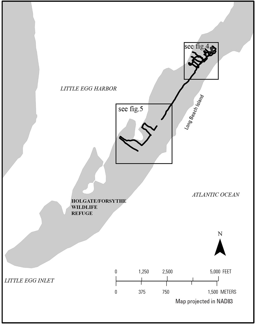
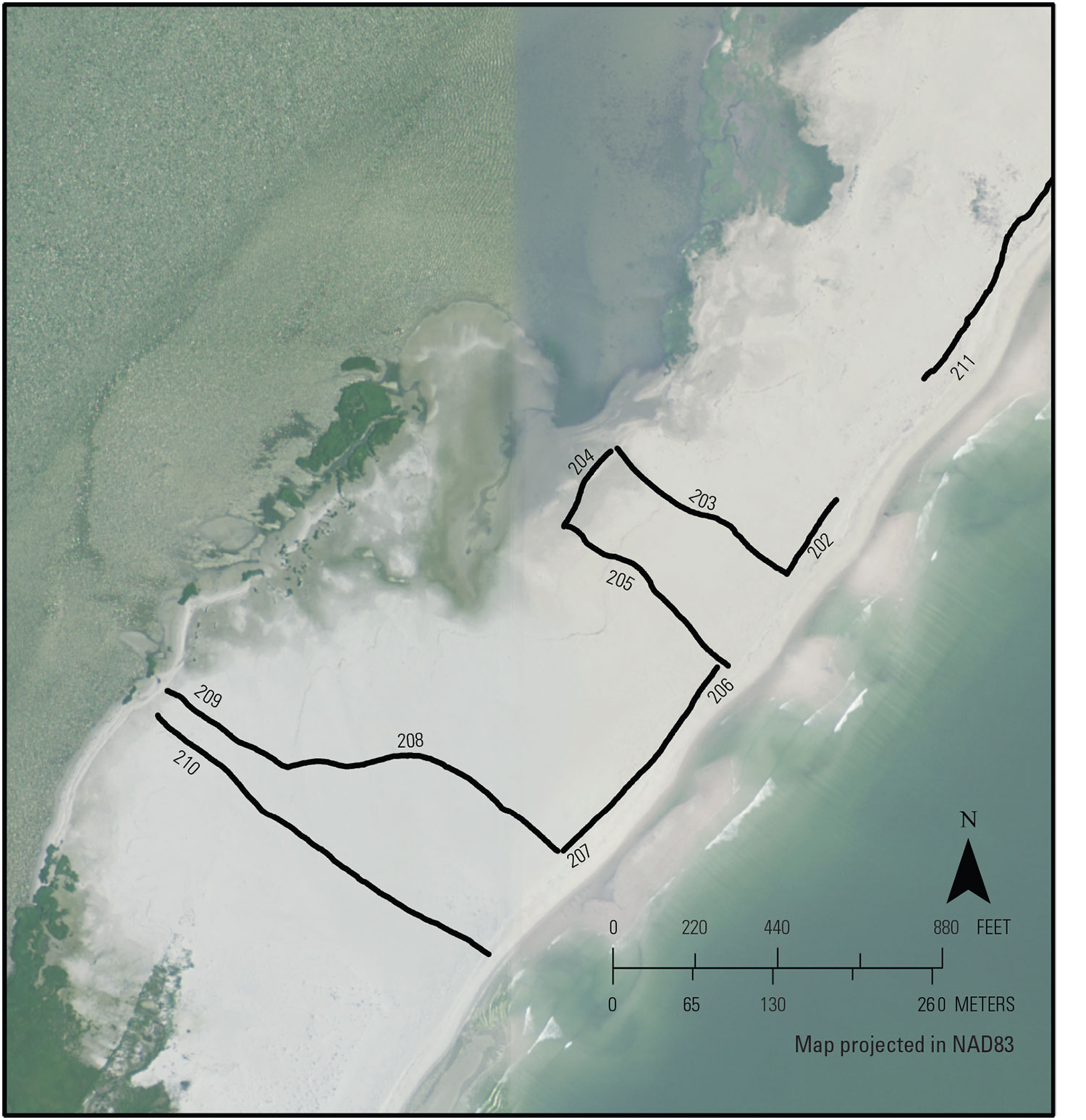
Areas significantly altered by Hurricane Sandy, as indicated by pre- and post-storm aerial photography, were chosen for study sites. The GPR data can be used in conjunction with sediment core data presented in a separate report to quantify washover thickness and extent. Furthermore, GPR data can be used to image deeper stratigraphic features, such as infilled inlets, that might help define controls on geologic processes. This report serves as an archive of GPR and DGPS (Differential Global Positioning System) data collected within the Edwin B. Forsythe National Wildlife Refuge–Holgate Unit on Long Beach Island in April of 2015 (fig. 2) (FAN 2015-611-FA). Data products, including raw GPR and processed Global Positioning System (GPS) data, elevation-corrected GPR profiles, and accompanying Federal Geographic Data Committee (FGDC) metadata can be downloaded from the Data Downloads page. |

![]() U.S. Department of the Interior |
U.S. Geological Survey
U.S. Department of the Interior |
U.S. Geological Survey
URL: http://pubsdata.usgs.gov/pubs/ds/1006/ds1006_intro.html
Page Contact Information: GS Pubs Web Contact
Page Last Modified: Monday, 28-Nov-2016 20:51:21 EST