U.S. Geological Survey Data Series 146


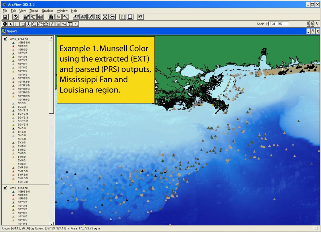
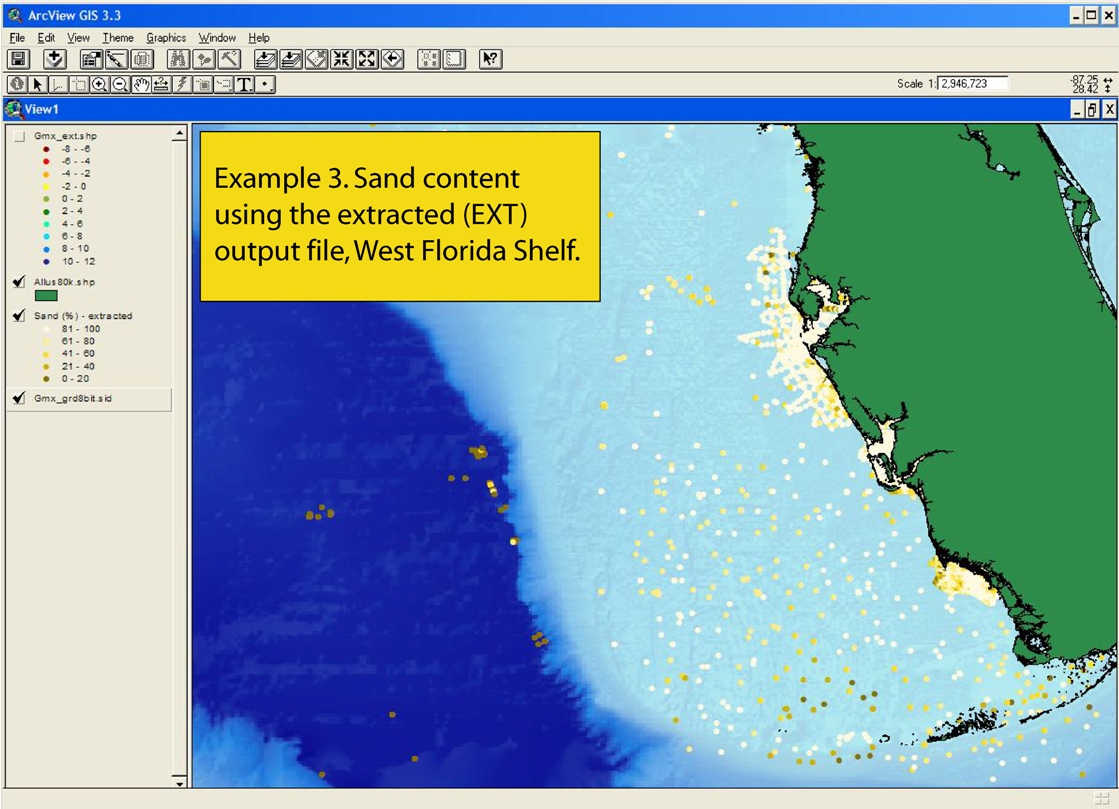
usSEABED: Gulf of Mexico and Caribbean (Puerto Rico and U.S. Virgin Islands) Offshore Surficial Sediment Data Release, version 1.0 Skip navigational side bar

Home | Contents | Site Map | Introduction | usSEABED | dbSEABED | Data Catalog | References Cited | Contacts | Acknowledgments | Frequently Asked Questions


The following three images show just a few ways in which the data can be displayed within a GIS:

Click on each for a larger image.

Example 1. Munsell Color using the extracted (EXT) and parsed (PRS) outputs, Mississippi Fan and Louisiana region.

Example 2. Grain size (phi) using the extracted (EXT) output, Louisiana to Alabama region.

Example 3. Sand content using the extracted (EXT) output file, West Florida Shelf.


Skip Footer Information

Home | Contents | Site Map | Introduction | usSEABED | dbSEABED | Data Catalog | References Cited | Contacts | Acknowledgments | Frequently Asked Questions


Accessibility FOIA Privacy Policies and Notices

Take Pride in America home page. FirstGov button U.S. Department of the Interior | U.S. Geological Survey
URL: https://pubsdata.usgs.gov/pubs/ds/2006/146/htmldocs/examples.htm
Page Contact Information: Publication Services
Page Last Modified: 11:54:30 Mon 28 Nov 2016