U.S. Geological Survey Data Series 445
| Item | Details | Trackline Map – UTM Zone 17 |
|---|---|---|
| Minimum Northing Minimum Latitude |
3206160.7 28° 58.9998' N |
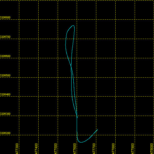 |
| Maximum Northing Maximum Latitude |
3206769.2 28° 59.3295' N |
|
| Minimum Easting Minimum Longitude |
477537.7 081° 13.8348' W |
|
| Maximum Easting Maximum Longitude |
477707.5 081° 13.7310' W |
|Back|

![]() U.S. Department of the Interior |
U.S. Geological Survey
U.S. Department of the Interior |
U.S. Geological Survey
URL: DVD/maps/linenav/08b11_nav.html
Page Contact Information: Feedback
Page Last Modified: May 12, 2009 11:30 EST
