U.S. Geological Survey Data Series 611
Click on the highlighted area below to view the survey area in greater detail.
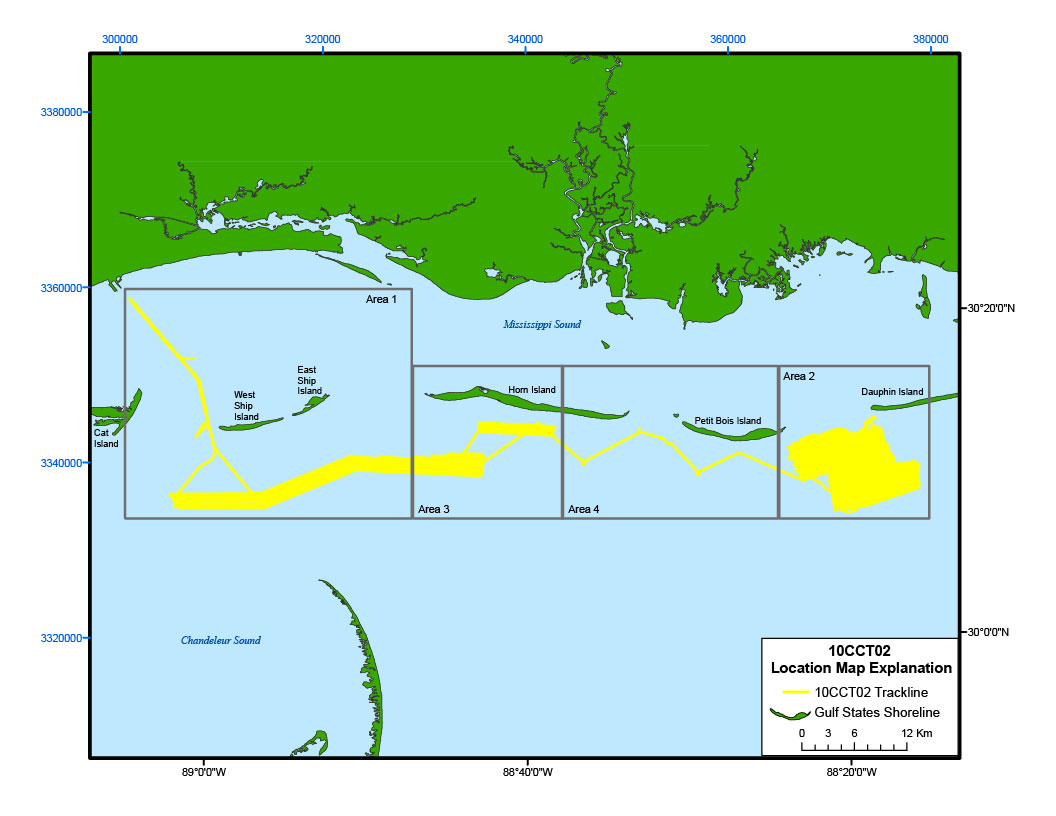
Figure 4. Trackline map of digital subbottom profile data collected during USGS field activity 10CCT02, from Cat Island to Dauphin Island (refer to 10CCT02 tracklines on figure 2 for location).

![]() U.S. Department of the Interior |
U.S. Geological Survey
U.S. Department of the Interior |
U.S. Geological Survey
URL: http://pubsdata.usgs.gov/pubs/ds/611/html/10cct02_location.html
Page Contact Information: GS Pubs Web Contact
Page Last Modified: Monday, 28-Nov-2016 17:28:56 EST
