USGS - science for a changing world

U.S. Geological Survey Data Series 611

10CCT01 Location Map


Home | Acronyms | Contents | Navigation | Profiles | Logs | Metadata | Software


Location Map | 10CCT01 | 10CCT02 | 10CCT03


Click on a trackline number to view the geospatial profile image.

10CCT01 Location Map10c26 Geospatial Profile10c26a Geospatial Profile10c18 Geospatial Profile10c16 Geospatial Profile10c14 Geospatial Profile10c12 Geospatial Profile10c32 Geospatial Profile10c31 Geospatial Profile10c20 Geospatial Profile10c22 Geospatial Profile10c24 Geospatial Profile10c27 Geospatial Profile10c27a Geospatial Profile10c36 Geospatial Profile10c28 Geospatial Profile10c25 Geospatial Profile10c23 Geospatial Profile10c21 Geospatial Profile01c10 Geospatial Profile01c09 Geospatial Profile01c11 Geospatial Profile01c08 Geospatial Profile10c19b Geospatial Profile10c19 Geospatial Profile10c17 Geospatial Profile10c15 Geospatial Profile10c13 Geospatial Profile10c06 Geospatial Profile10c05 Geospatial Profile10c03 Geospatial Profile10c07 Geospatial Profile10c04 Geospatial Profile10c02 Geospatial Profile10c29 Geospatial Profile10c35 Geospatial Profile10c30 Geospatial Profile10c01 Geospatial Profile10c34 Geospatial Profile10c33 Geospatial Profile

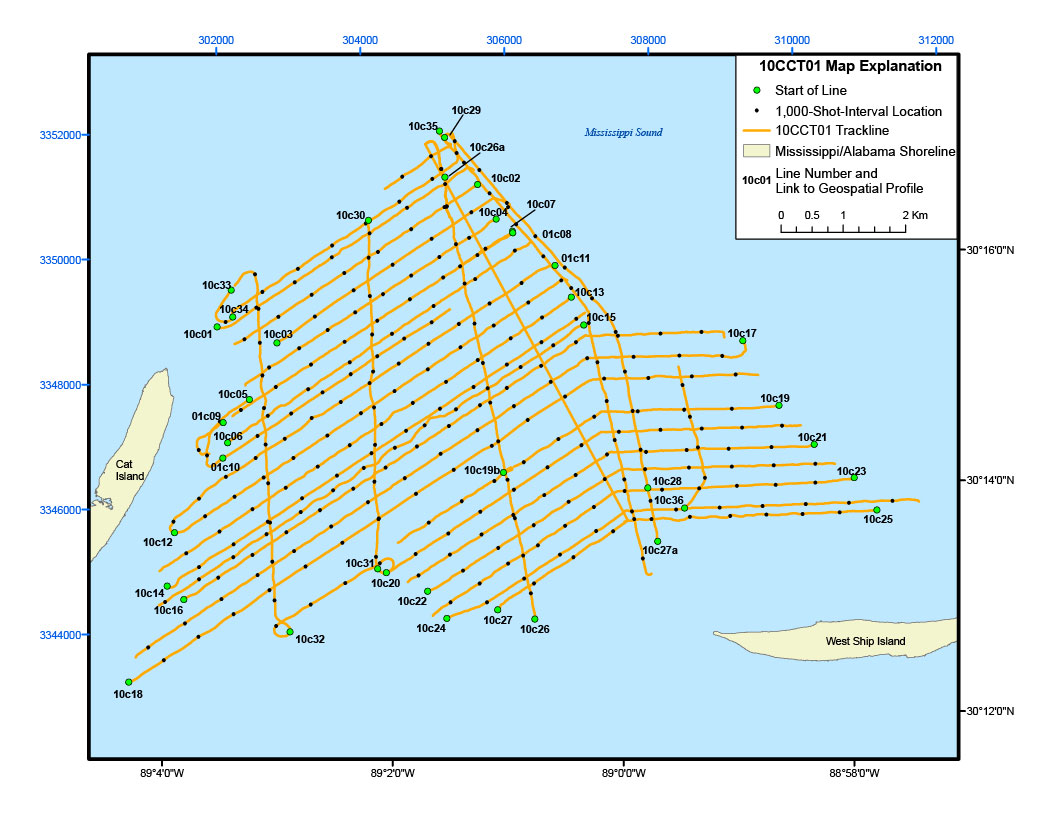
Figure 3. Detailed trackline map of digital subbottom profile data collected during USGS field activity 10CCT01, offshore of Cat and West Ship Islands (refer to 10CCT01 tracklines on figure 2 for location).


Home | Acronyms | Contents | Navigation | Profiles | Logs | Metadata | Software

Accessibility FOIA Privacy Policies and Notices

Take Pride in America logo USA.gov logo U.S. Department of the Interior | U.S. Geological Survey
URL: http://pubsdata.usgs.gov/pubs/ds/611/html/10cct01_location.html
Page Contact Information: GS Pubs Web Contact
Page Last Modified: Monday, 28-Nov-2016 17:28:50 EST