USGS - science for a changing world

U.S. Geological Survey Data Series 651
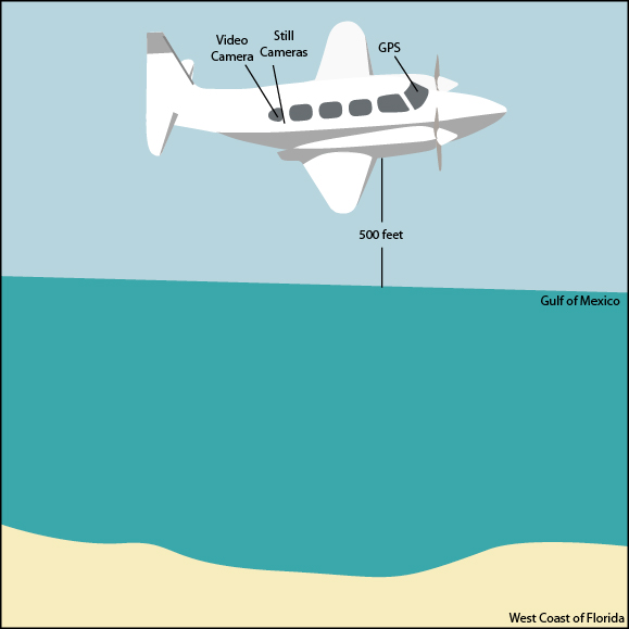
Acquisition Geometry


Home | Acronyms | Contents | Navigation | Photos | Logs | Metadata | Software


Figure 1. Acquisition geometry for 2004 post-Hurricane Charley Aerial Survey

Figure 1.

The N2KK Navajo Chieftain airplane was flown at a constant altitude of 500 feet.

Best attempts were made to keep the same relative distance between the aircraft and the beach in order to keep a constant field of view.


Home | Acronyms | Contents | Navigation | Photos | Logs | Metadata | Software

Accessibility FOIA Privacy Policies and Notices

Take Pride in America logo USA.gov logo U.S. Department of the Interior | U.S. Geological Survey
URL: http://pubsdata.usgs.gov/pubs/ds/651/html/fig1.html
Page Contact Information: GS Pubs Web Contact
Page Last Modified: Monday, 28-Nov-2016 18:41:14 EST