U.S. Geological Survey Data Series 741
ESRI ArcGIS shapefiles of sample locations and tracklines are provided in compressed zip format.
|
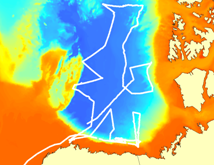
Healy MICA Data Shapefile (compressed) Contains MICA underway sample locations. |
 |
|
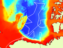
Healy Discrete Sample Shapefile (compressed) Contains discrete sample locations. |
 |
|
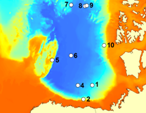
CTD Casts Shapefile (compressed) Contains CTD sample locations. |
 |
|
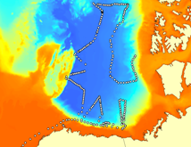
Healy Trackline Shapefile (compressed) Contains USCGC Healy 1002 mission trackline. |
|
|
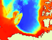
Arctic Ocean Bathymetry Raster (compressed) Contains bathymetric grid used for base map. |
 |

![]() U.S. Department of the Interior |
U.S. Geological Survey
U.S. Department of the Interior |
U.S. Geological Survey
URL: http://pubsdata.usgs.gov/pubs/ds/741/pubs741/html/maps.html
Page Contact Information: GS Pubs Web Contact
Page Last Modified: Monday, 28-Nov-2016 19:13:16 EST
