Skip Links

USGS - science for a changing world

Data Series 768

Prepared in cooperation with Camp Stanley Storage Activity, Parsons Corporation, and Weatherford Laboratories

Key Subsurface Data Help to Refine Trinity Aquifer Hydrostratigraphic Units, South-Central Texas

By Charles D. Blome and Allan K. Clark

Thumbnail of and link to report PDF (91.1 MB)Abstract

The geologic framework and hydrologic characteristics of aquifers are important components for studying the nation’s subsurface heterogeneity and predicting its hydraulic budgets. Detailed study of an aquifer’s subsurface hydrostratigraphy is needed to understand both its geologic and hydrologic frameworks. Surface hydrostratigraphic mapping can also help characterize the spatial distribution and hydraulic connectivity of an aquifer’s permeable zones. Advances in three-dimensional (3-D) mapping and modeling have also enabled geoscientists to visualize the spatial relations between the saturated and unsaturated lithologies.

This detailed study of two borehole cores, collected in 2001 on the Camp Stanley Storage Activity (CSSA) area, provided the foundation for revising a number of hydrostratigraphic units representing the middle zone of the Trinity aquifer. The CSSA area is a restricted military facility that encompasses approximately 4,000 acres and is located in Boerne, Texas, northwest of the city of San Antonio. Studying both the surface and subsurface geology of the CSSA area are integral parts of a U.S. Geological Survey project funded through the National Cooperative Geologic Mapping Program. This modification of hydrostratigraphic units is being applied to all subsurface data used to construct a proposed 3-D EarthVision model of the CSSA area and areas to the south and west.

First posted July 21, 2014

For additional information contact:
Director, Geosciences and Environmental Change Science Center
U.S. Geological Survey
Box 25046, Mail Stop 980
Denver, CO 80225
http://gec.cr.usgs.gov/

Part or all of this report is presented in Portable Document Format (PDF). For best results viewing and printing PDF documents, it is recommended that you download the documents to your computer and open them with Adobe Reader. PDF documents opened from your browser may not display or print as intended. Download the latest version of Adobe Reader, free of charge.


Suggested citation:

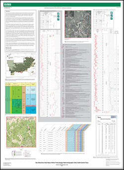
Blome, C.D., and Clark, A.K., 2014, Key subsurface data help to refine Trinity aquifer hydrostratigraphic units, south-central Texas: U.S. Geological Survey Data Series 768, 1 sheet, https://dx.doi.org/10.3133/ds768.

ISSN 2327-638x (online)


Accessibility FOIA Privacy Policies and Notices

Take Pride in America logo USA.gov logo U.S. Department of the Interior | U.S. Geological Survey
URL: http://pubsdata.usgs.gov/pubs/ds/768/index.html
Page Contact Information: GS Pubs Web Contact
Page Last Modified: Monday, 28-Nov-2016 19:29:31 EST