Fact Sheet 2006-3138
U.S. GEOLOGICAL SURVEY
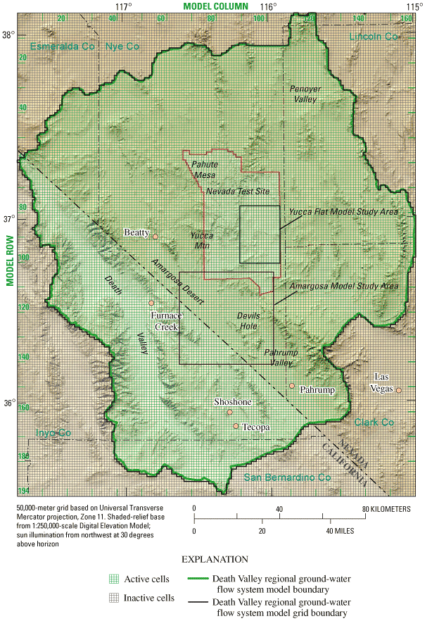
Figure 5. Death Valley regional ground-water flow system model grid (modified from Faunt and others, 2004a), with the Yucca Flat and Amargosa embedded model study areas outlined.

![]() U.S.
Department of the Interior | U.S. Geological
Survey
U.S.
Department of the Interior | U.S. Geological
Survey
Persistent URL: https://pubs.water.usgs.gov/fs20063138
Page Contact Information: Publications Team
Page Last Modified: Tuesday, 29-Nov-2016 17:24:00 EST
