Fact Sheet 2013–3002
This Web-only publication is available in pdf format in two sizes:
(A) 8 1/2 by 11 inches (5 Mb)
(B) 11 by 25.5 inches (5 Mb).
Summary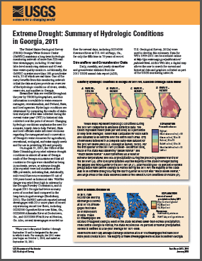
Extreme Drought: Summary of Hydrologic Conditions in Georgia, 2011The United States Geological Survey (USGS) Georgia Water Science Center (GaWSC) maintains a long-term hydrologic monitoring network of more than 320 realtime streamgages, including 10 real-time lake-level monitoring stations and 63 realtime water-quality monitors. Additionally, the GaWSC operates more than 180 groundwater wells, 35 of which are real-time. One of the many benefits from this monitoring network is that the data analyses provide an overview of the hydrologic conditions of rivers, creeks, reservoirs, and aquifers in Georgia. |
First posted January 14, 2013
For additional information contact: Part or all of this report is presented in Portable Document Format (PDF); the latest version of Adobe Reader or similar software is required to view it. Download the latest version of Adobe Reader, free of charge. |
Knaak, A.E., Frantz, E.R., and Peck, M.F., 2013, Extreme drought—Summary of hydrologic conditions in Georgia, 2011: U.S. Geological Survey Fact Sheet 2013–3002, 6 p., available online at https://pubs.usgs.gov/fs/2013/3002/

![]() U.S. Department of the Interior |
U.S. Geological Survey
U.S. Department of the Interior |
U.S. Geological Survey
URL: http://pubsdata.usgs.gov/pubs/fs/2013/3002/index.html
Page Contact Information: GS Pubs Web Contact
Page Last Modified: Tuesday, 29-Nov-2016 17:47:35 EST
