|
|
Effects of August 1995 and July 1997 Storms in the City of Charlotte and Mecklenburg County, North Carolina |
Prepared in cooperation with the City of Charlotte and Mecklenburg County |
In this report --
|
REFERENCESHazell, W.F., and Bales, J.D., 1997, Real-time rainfall measurements in the city of Charlotte and Mecklenburg County, North Carolina: U.S. Geological Survey Fact Sheet FS-052-97, 4 p. Hershfield, W.M., 1961, Rainfall frequency atlas of the United States for durations from 30 minutes to 24 hours and return periods from 1 to 100 years: Washington, D.C., U.S. Weather Bureau, Technical Paper 40. Interagency Advisory Committee on Water Data, 1982, Guidelines for determining flood flow frequency: Reston, Va., U.S. Department of the Interior, Bulletin 17B of the Hydrology Subcommittee. Rantz and others, 1982, Measurement and computation of streamflow: Volume 2. Computation of discharge: U.S. Geological Survey Water-Supply Paper 2175, p. 285-631. Robinson, J.B., Hazell, W.F., and Garrett, R.G., 1998, Precipitation, streamflow, and water-quality data from selected sites in the city of Charlotte and Mecklenburg County, North Carolina, 1995-97: U.S. Geological Survey Open-File Report 98-67, 220 p. |
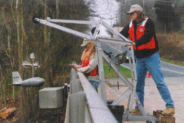 U.S. Geological Survey Personnel, Charlotte Field Office, making a discharge measurement on Little Sugar Creek at Archdale Drive.
(Photograph by William F. Hazell, USGS)
U.S. Geological Survey Personnel, Charlotte Field Office, making a discharge measurement on Little Sugar Creek at Archdale Drive.
(Photograph by William F. Hazell, USGS)
|