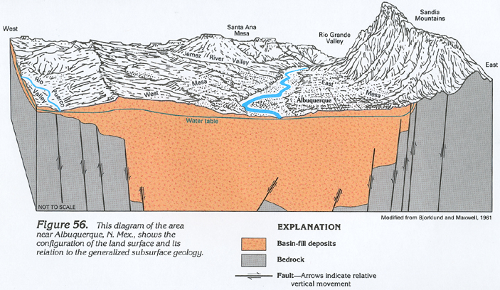
Figure 56 Diagram of the area near Albuquerque, New Mexico showing the configuration of the land surface and its relation to the generalized subsurface geology (312K)
 downloadable tiff file C056.tif.gz (2.5MB
compressed)
downloadable tiff file C056.tif.gz (2.5MB
compressed)
Figure 56 Diagram of the area near Albuquerque, New Mexico
showing the configuration of the land surface and its relation
to the generalized subsurface geology (312K)
downloadable tiff file C056.tif.gz (2.5MB
compressed)
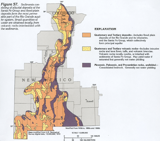 downloadable tiff file C057.tif.gz (2.8MB
compressed)
downloadable tiff file C057.tif.gz (2.8MB
compressed)