GROUND WATER ATLAS of the UNITED STATES
Alaska, Hawaii, Puerto Rico and the U. S. Virgin Islands
HA 730-N
Puerto Rico and the U. S. Virgin Islands South Coast aquifer
(figures 87-95)
Introduction (Click to view thumbnails
and download figures)
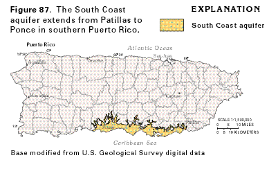
- Figure 87 Map showing the
location of the South Coast aquifer in Puerto Rico
Hydrogeology (Click to view thumbnails
and download figures)
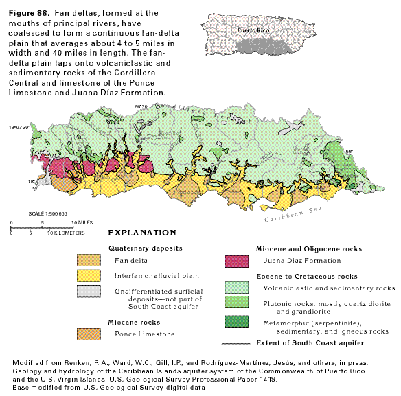
- Figure 88 Map showing the
geological structure of the alluvium that composes the South
Coast aquifer
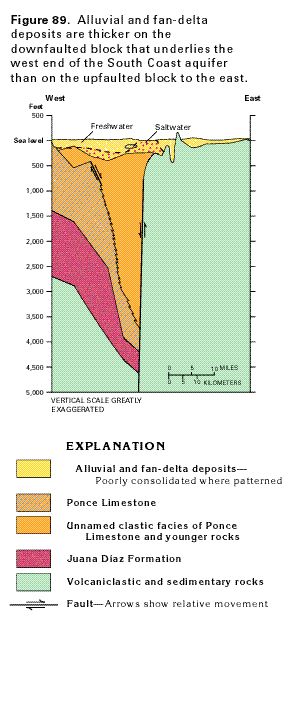
- Figure 89 Cross sectional
diagram showing the geological structure of the South Coast aquifer
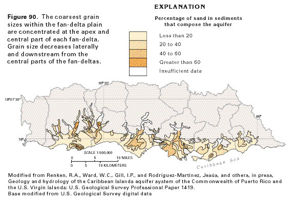
- Figure 90 Map showing the
percentage of sand in sediments that compose the South Coast
aquifer
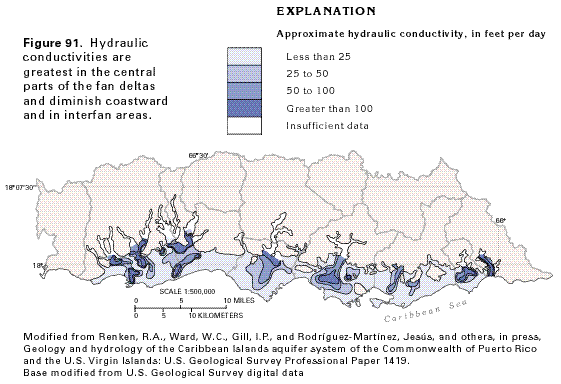
- Figure 91 Map showing approximate
hydraulic conductivities in the South Coast aquifer
Ground-Water Flow (Click to view thumbnails
and download figures)
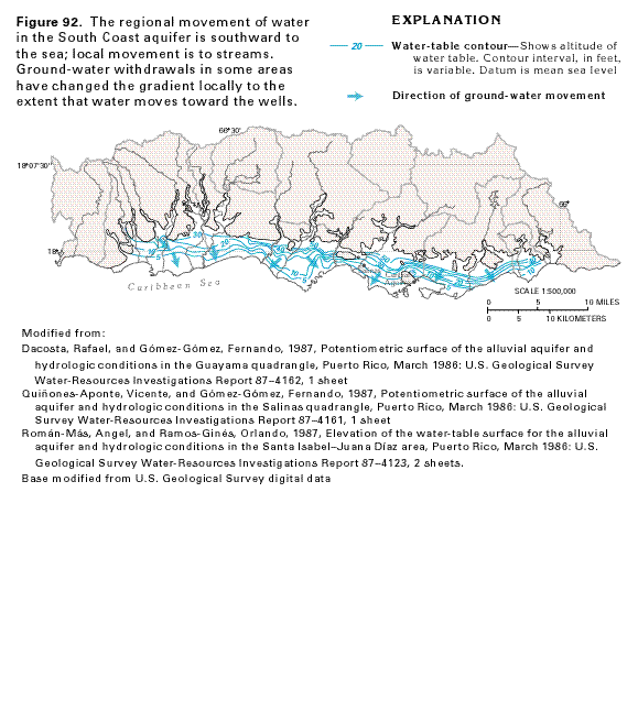
- Figure 92
Map showing the regional movement of water in the South Coast
aquifer
Ground-Water Quality (Click to view thumbnails
and download figures)
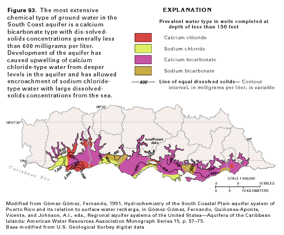
- Figure 93
Map showing the prevalent water type in wells completed at a
depth of less than 150 feet in the South Coast aquifer
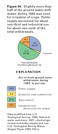
- Figure 94
Pie chart showing use of fresh ground-water withdrawals from
the South Coast aquifer
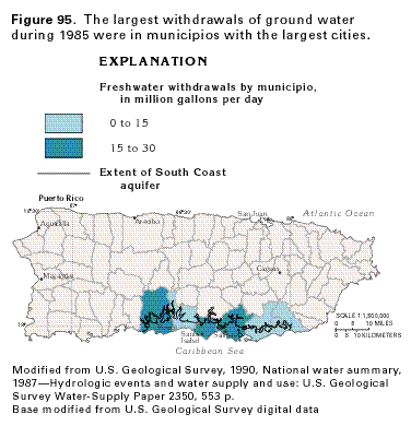
- Figure 95
Map showing freshwater withdrawals by municipio from the South
Coast aquifer