| Miscellaneous Investigations Series I-1420 (NM-14) |
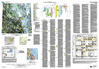
Quaternary Geologic Map of the Winnipeg 4° x 6° Quadrangle, United States and Canada |
Edited by David S. Fullerton. State and Province compilations by David S. Fullerton, Susan M. Ringrose, Lee Clayton, Bryan T. Schreiner, and Joseph E. Goebel |
 |
| Version 1.0 |
| The text of this report is presented here in Portable Document Format. The latest version of Adobe Acrobat Reader or similar software is required to view it. If you wish to download the latest version of Acrobat Reader free of charge, click here . |
| Metadata file. | |
| Readme file. |
| Screen-optimized file for the map jacket, which may be used to preview the map. | |
| Screen-optimized 16-page pamphlet that contains sources of data used in compiling the map. |
| Print-optimized map for printing on a high-resolution plotter. |
| |
Screen-optimized map sheet for viewing and printing. |
| Zipped files for download. |
The online edition of this publication consists of a digital database and metadata (described in the file readme.txt), and screen-optimized files for the map sheet and map jacket, which may be used to preview the map. A print-optimized file for the map sheet is optimized for printing on a high-resolution plotter. The publication also includes a 16-page pamphlet that contains sources of data used in compiling the map. It is a print-optimized file, which you also may view online. A printed copy of this publication is for sale by Information Services, U.S. Geological Survey (1-888-ASK-USGS). |
| AccessibilityFOIAPrivacyPolicies and Notices | |
| |
|