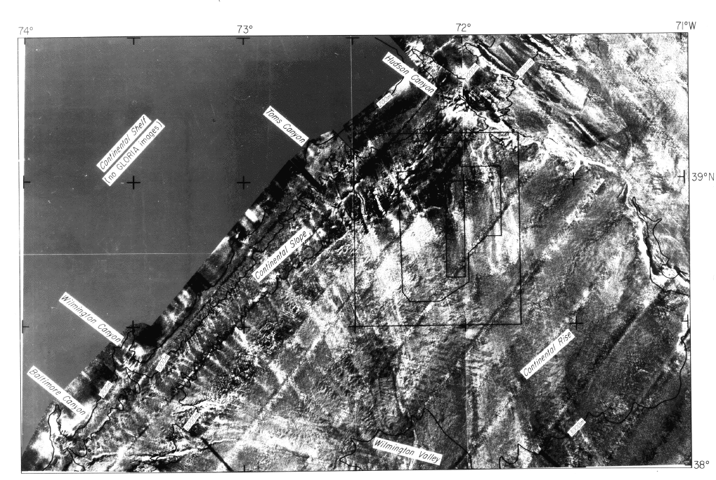
The GLORIA is a long-range, wide-swath sidescan sonar system for use in
deep oceanic waters greater than 200 m. GLORIA is an acronym derived
from "Geologic LOng-Range Inclined Asdic".
The GLORIA sensing instrument is towed about 50 meters (m) below the
sea surface (Somers and others,
1978). Its 6.5-kiloHertz (kHz) signals are returned from bottom
features that can be as far as 22 kilometers (km) to either side of the
ship's track; in this part of the survey a 25-km track spacing was
employed to ensure full coverage of high quality data. The data were
digitally processed and compiled to produce the geometrically corrected
and geographically mapped mosaic of the sea bottom (EEZ-SCAN 87 Scientific Staff,
1991).
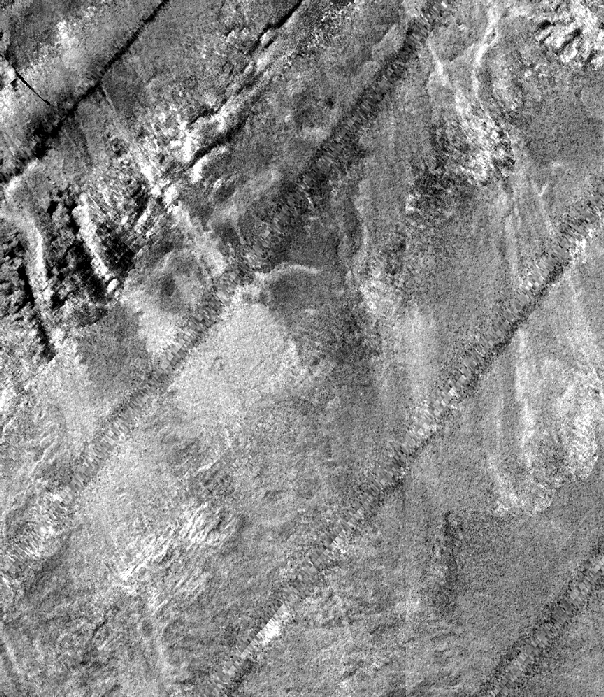
While the acoustic images of the sea floor are correctly located on the mosaic maps, they are not aerial photographs, and they retain peculiarities common to sidescan-sonar data that interpreters must keep in mind. The northeast-trending gray stripes on this mosaic show the location of the ship's tracks; they are caused by the signals that return from a band too close below the ship to give a good side-looking view. Light areas on the GLORIA images are strong acoustic return signals, caused by bottom topography (reflections from places where the bottom surface slopes toward the receiver) and by various characteristics of the top several meters of sediment (backscatter) (Johnson and Helferty, 1990; Gardner and others, 1991). Some care must be taken because, in places, a change in image tone is an artifact of the assembly process, where data from adjacent tracks were juxtaposed in order to create the mosaic.
The appearance of topographic features depends on the look-direction of sidescan-sonar data. The bottom of a canyon can be obscured by acoustic shadow, or the top of a slope perceived by a change in image tone may not correspond to a topographic crest or break. Comparing the acoustic signature, or appearance, of the sea floor as it is seen in 3.5-kHz echo-sounding profiles or other seismic-reflection profiles to the GLORIA images helps to determine to what degree the images show topographic features or bottom sediment characteristics.
A small part of the USGS mosaic of the East Coast EEZ in the dumpsite area was magnified for comparison with the bathymetric data by increasing the pixel size, so there is no added detail in the larger scale image. All GLORIA images presented here have been processed into uniform square pixels 50 m on a side, and bottom features can be identified only if they are several times that size.