Environmental Characteristics of the
Pontchartrain-Maurepas Basin and
Identification of Management Issues:
An Atlas
Prepared for the Lake Pontchartrain Task Force and the
Coastal Management Division of the Louisiana Department of Natural Resources
by
Coastal Environments, Inc., Baton Rouge, Louisiana, October 1984.
Pontchartrain Atlas Images
- Click on the pictures to see full-screen viewable images.
- Click here for an index of printable images.
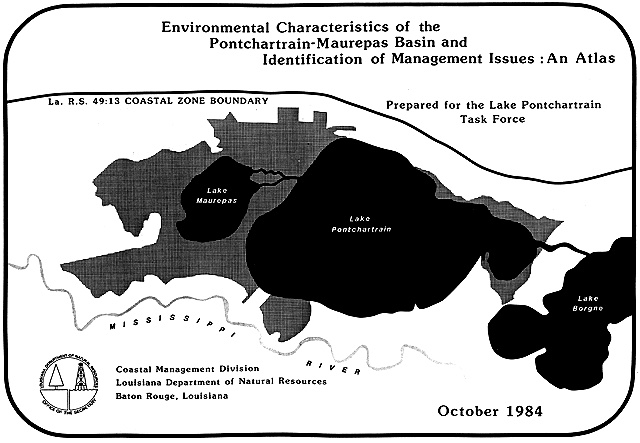
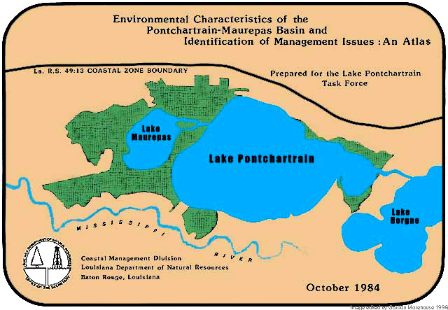
 Atlas cover (unmodified) Atlas cover (colorized)
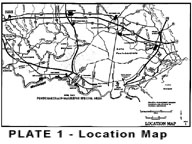
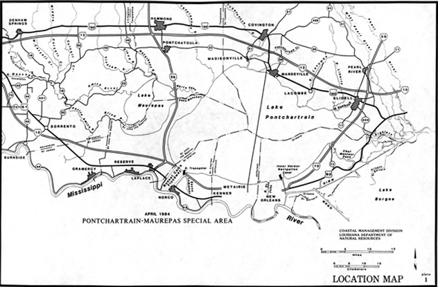
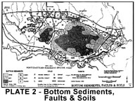 Location Map Bottom Sediments, Faults, and Soils
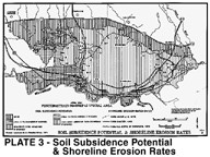
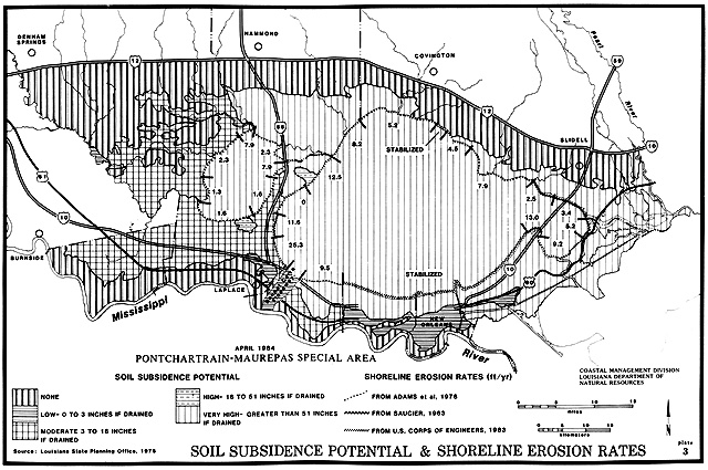
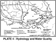 Soil Subsidence/Shoreline Erosion Hydrology and Water Quality
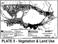
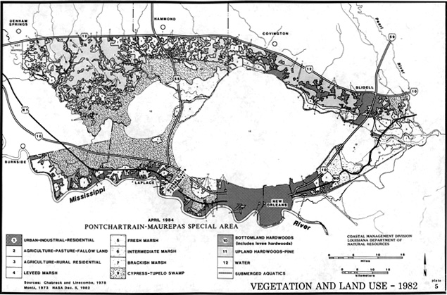
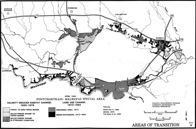
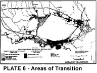 Vegetation and Land Use Areas of Transition
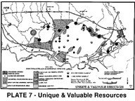
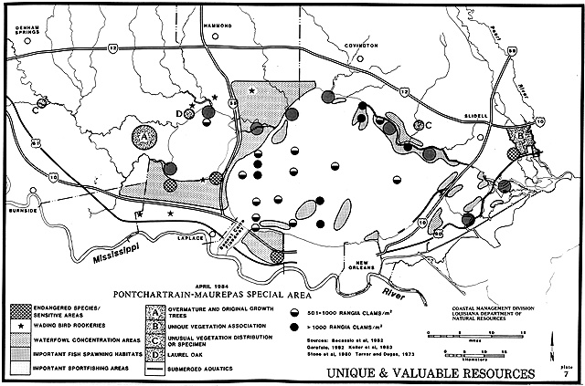
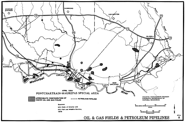
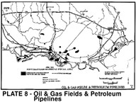 Unique and Valuable Resources Oil and Gas Fields/Pipelines
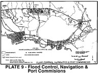
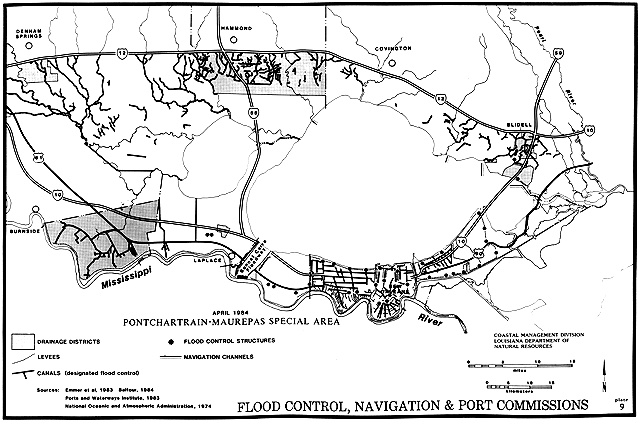
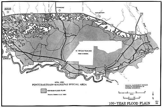
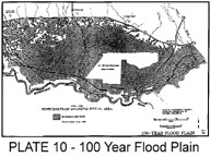 Flood/Navigation/Port Commissions 100 Year Flood Plain
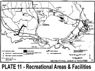
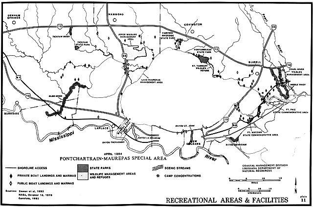
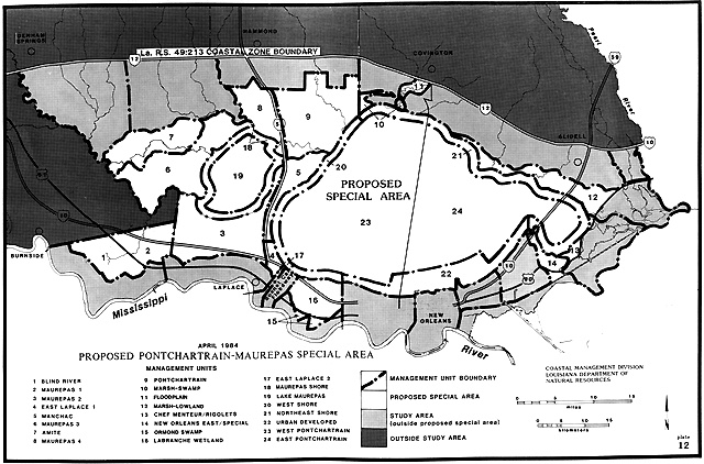
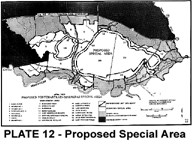 Recreational Areas/Facilities Proposed Special Area*
*Note that the "Special Area" refered to on Plate 12 was not approved by the legislature,
but does point out key subdivisions of the Lake basin.
 HOME
HOME
[an error occurred while processing this directive]
 Atlas cover (unmodified) Atlas cover (colorized)