Sidescan-Sonar Imagery of the Shoreface and Inner Continental Shelf, Wrightsville Beach, North Carolina
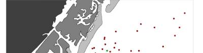
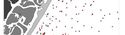
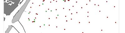
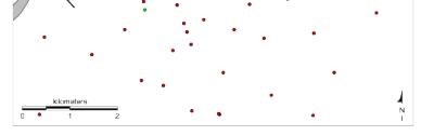
Figure 3. Map showing the locations of vibracores and surface grab samples obtained on the shoreface and inner shelf of Wrightsville Beach. Grab samples shown in green were collected at the time of the sidescan sonar survey described in this report and are also shown in Figure 1.
Click on image to zoom in.
 |
 |
 |
 |
 |