
Times-Series Photographs of the Sea Floor in Western Massachusetts Bay
U.S.G.S. Open-File Report 98-797
|
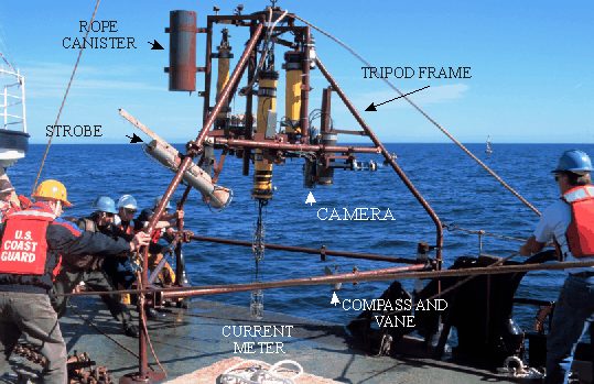
Bottom Tripod System
The bottom photographs shown in this Apple Quicktime time-series movie (~30Mb) were obtained by means of a 35 mm Benthos camera mounted approximately 2 m above bottom on a tripod frame (photo). The pictures were obtained nominally every four hours(3 hours 59 mins in this deployment). The field of view is approximately 1 m by 1.5 m. True north is to the top of the screen. A compass and vane mounted on a swivel, showing the orientation of the tripod and instantaneous direction of flow, are partially visible in the photos (the vane is often out of the field of view, and the glare of the strobe on the glass dome housing the compass limits the time that the magnetic north arrow is visible).
In addition to bottom photographs, instruments on the tripod measured current, temperature, light transmission, pressure, and conductivity. These provide direct measurements of the processes causing sediment resuspension and transport. The tripod also supports a sediment trap that collects sediments suspended in the water column.
 |
 |
 |
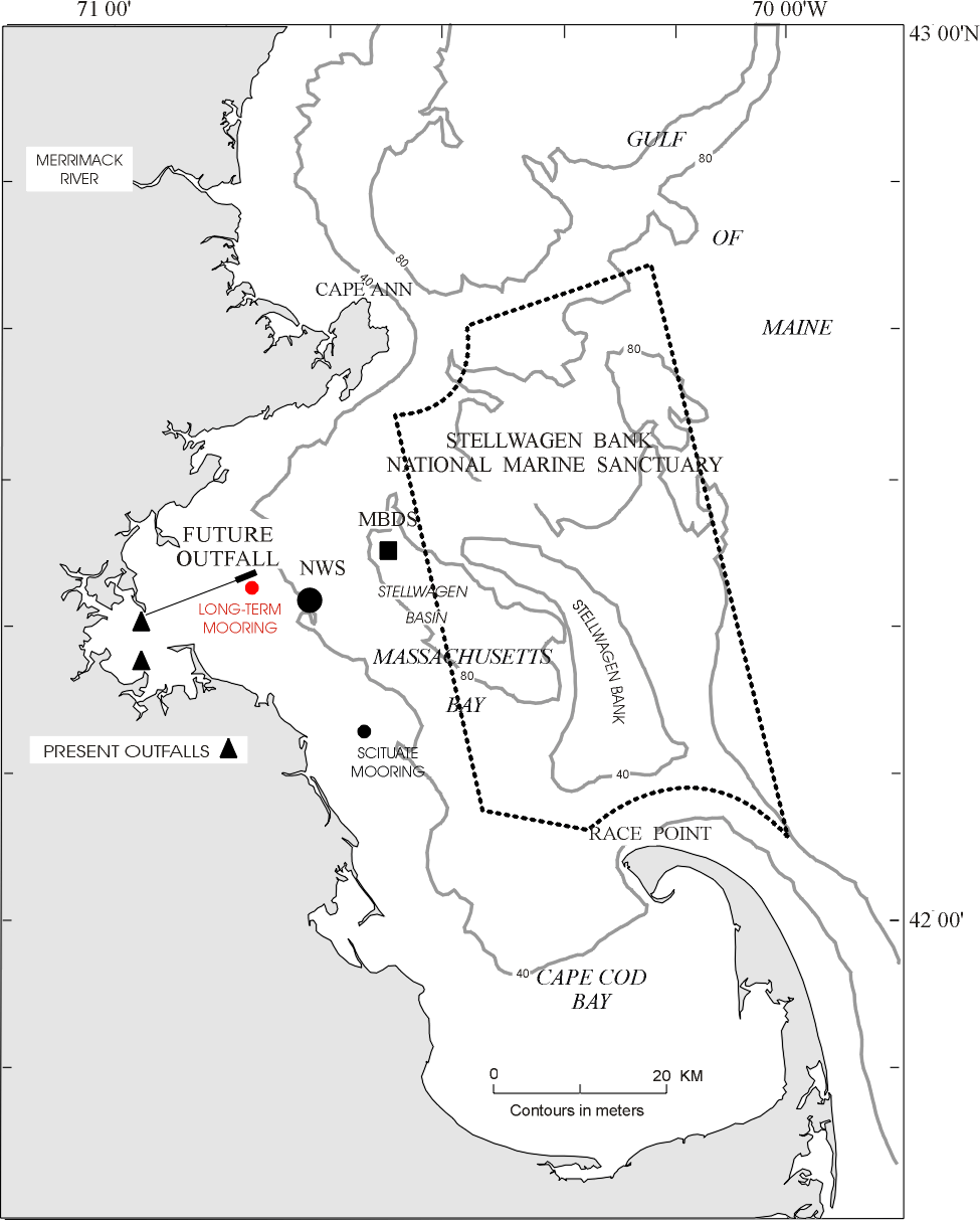
| Tripod | Plan View Map |
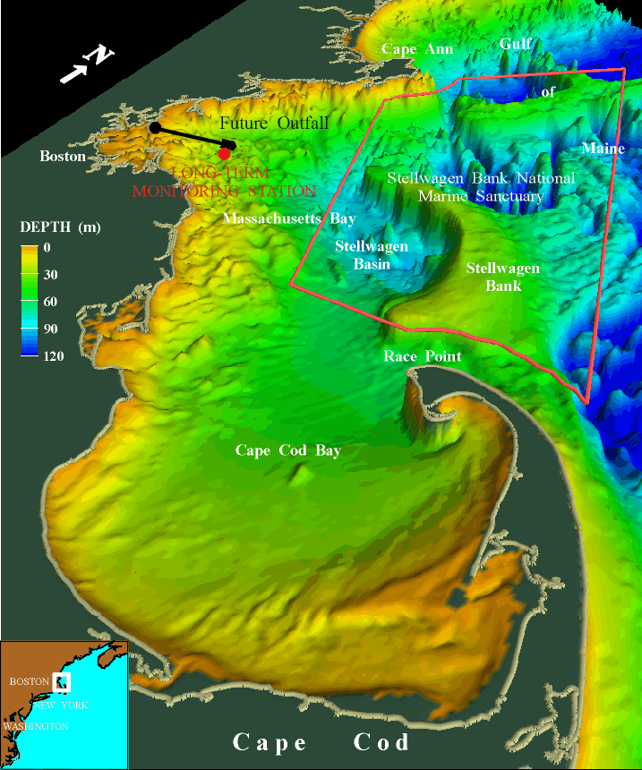
Perspective Map |
| Table of Contents | Home Page |
This URL is pubsdata.usgs.gov/pubs/of/1998/of98-797-brief/32bottom.html
Maintained by webmaster-woodshole@nobska.er.usgs.gov
Modified Thursday, 10-Jan-2013 22:38:54 EST