
TIME-SERIES PHOTOGRAPHS OF THE SEA FLOOR IN WESTERN MASSACHUSETTS BAY: June - October 1996
Introduction
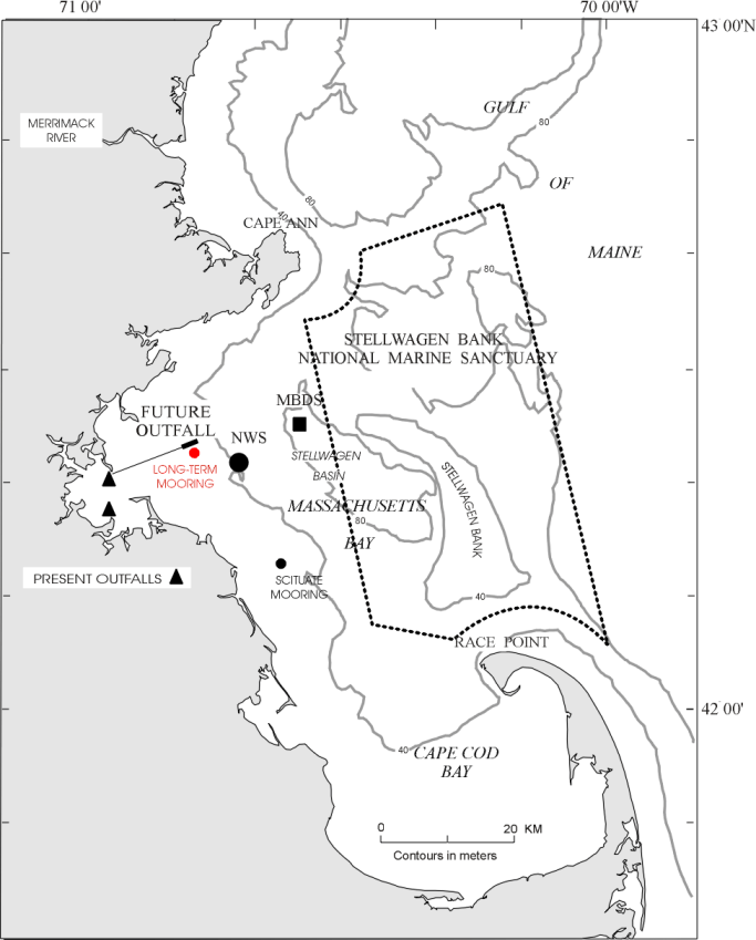
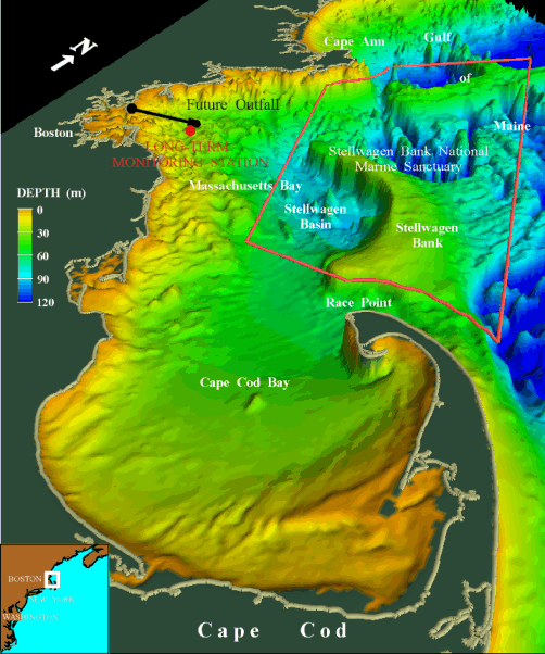
Time-series photographs of the seafloor were obtained at a site in western
Massachusetts Bay (42o 22.6' N 70o 47.1' W) between June 11, 1996 and
October 1, 1996 at water depth of 31 m. The long-term monitoring station is just to the
south of the location of the new ocean outfall that will begin discharging treated
effluent in 1999 (see plan view map and perspective map). The photographs are part of a suite of
observations obtained by the U.S. Geological Survey (Bothner et al, 1994) and others
(Geyer et al, 1992), to monitor sediment resuspension and transport in Massachusetts
Bay. The observations are made in cooperation with the Massachusetts Water Resources
Authority. This deployment is USGS mooring number 470.
Several hundred similar sequences of bottom photographs have been obtained at a wide
variety of locations on the United States continental margin since 1975. This is a pilot
project to develop a mechanism to digitally view, archive, and distribute the time series
bottom photographs.
| |