Environmental Geochemistry and
Sediment Quality in Lake Pontchartrain
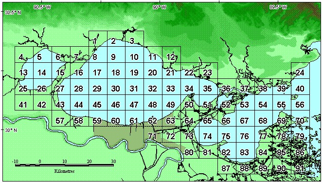
Guide to the AREA_CD_SQ Field
Below is a map of the areas used in the AREA_CD_SQ field. You may download a file delineating these areas. The files in
this zipped file are in MapInfo's export format (MID/MIF pair).