A USGS Marine and Coastal Studies Skill Training Module
1C. Positioning the boat
The diagram on the right shows key points in
positioning the boat to core and assessing the site for anchoring. Details are discussed
in the videos and outlined below.
Positioning Diagram:
Bow
Anchor
0
30
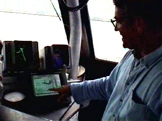
1C1. Locating - Video 1C1.
* Coring sites will have been predetermined by using seismic cross sections.
* The location of a coring site can be readily located using a global positioning system
(GPS) chart.
* When the site is reached, a marker buoy is thrown over the side which is usually
accurate to within 6 feet.
* After the buoy is thrown the boat is backed down to avoid running over the buoy. When
the boat is at a dead stop in the water the captain will assess the wind and current to
determine how to deploy the bow and stern anchors.
1C2. Assessment - Video 1C2.
* Set the anchors upwind and into the current so that the boat can be drifted down to the
marker buoy.
* The bow anchor must be set to form a 30 degree angle into the wind in order for the boat
to remain stable.
* If an anchor breaks free during a coring operation it will usually break the core and
damage the equipment.
Stern
Anchor
Boat
Core Site
Lubber Line
1. Locating the position
Two point (bow+stern) anchoring scheme:
First |
Previous |
Next |
Credits |
Index |
Exit |