|
FOREWORD
This report is a product of the
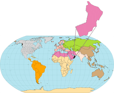
World Energy Project of the U.S. Geological Survey, in which the world
has been divided into 8 regions and 937 geologic provinces for purposes
of assessment of global oil and gas resources (Klett and others, 1997).
These provinces have been ranked according to the discovered petroleum
volumes within each; 76 "priority" provinces (exclusive of the U.S. and
chosen for their high ranking) and 26 "boutique" provinces (exclusive of
the U.S. and chosen for various reasons) were selected for appraisal of
oil and gas resources. The petroleum geology of these non-U.S. priority
and boutique provinces is described in this series of reports. Assessment
results will be released in a later report, if such results are not reported
herein. More specific digital compilations of the geology and province
boundaries of the Arabian Peninsula are also available on CD-ROM (Pollastro
and others, 1998).
The Total Petroleum System constitutes
the basic geologic unit to be assessed for undiscovered oil and gas resources.
A Total Petroleum System includes the essential elements and processes,
as well as all genetically related hydrocarbons, that occur in petroleum
shows, seeps, and accumulations (discovered and undiscovered) whose provenance
is a pod or closely related pods of mature source rock (modified from Magoon
and Dow, 1994). The minimum petroleum system is that portion of the Total
Petroleum System for which the presence of essential elements and processes
has been proved.
An assessment unit is a mappable
volume of rock within the Total Petroleum System that encompasses petroleum
fields (discovered and undiscovered) which share similar gross geologic
traits and socio-economic factors. The fields in an assessment unit should
constitute a population that is sufficiently homogeneous in terms of geology,
exploration strategy, and risk so that the chosen methodology of resource
assessment is applicable. A Total Petroleum |
|
|
|
System might equate
to a single assessment unit. If necessary, a Total Petroleum System can
be subdivided into two or more assessment units in order that each assessment
unit is sufficiently homogeneous. Each assessment unit can incorporate
several exploration plays based on different reservoir formations, trap
types, exploration strategies, and discovery histories. Assessment units
are considered established if they contain more than 13 fields,
frontier if they contain 1-13 fields, and hypothetical if they
contain no fields.
A numeric
code identifies each region, province, Total Petroleum System, and assess-
ment unit; these codes are uniform throughout the project and will identify
the same item in any of the publications. The code is as follows:
Example
Region, single digit
3
Province, three digits to the
right of
region code
3162
Total Petroleum System, three
digits to
the right of province code
3162050
Assessment unit, one digit to
the right of
petroleum system code
31620504
The codes for the regions and provinces were established,
listed, and mapped in Klett and others, 1997.
The purpose of describing the
Total Petroleum Systems of this area is to aid in assessing the quantities
of oil, gas, and natural gas liquids that have the potential to be added
to reserves within the next 30 years. These volumes either reside in undiscovered
fields whose sizes exceed the stated minimum-field-size cutoff value for
the assessment unit or occur as reserve growth of fields already discovered.
|
|