|
"Reserves"
quoted in this report are from Petroconsultants, Inc., 1996 Petroleum Exploration
and Production database and other area reports from Petroconsultants, Inc.,
unless otherwise stated.
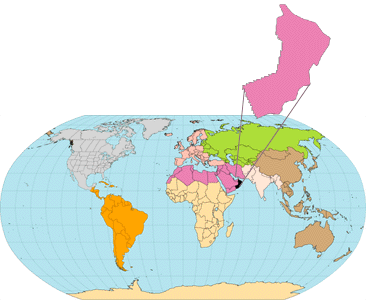
Figure(s) in this report that
show boundaries of the Total Petroleum System(s), assessment units, and
pods of active source rock were originally compiled using geographic information
system (GIS) software and then later drafted into the present illustrations.
Political boundaries and cartographic representations were taken, with |
|
|
|
permission, from ESRI's ArcWorld
1:3 million digital coverage, have no political significance, and are displayed
for general reference only. Oil and gas field centerpoints, shown on drafted
figure(s) are reproduced, with permission, from Petroconsultants, Inc.,
1996 Worldwide Oil and Gas Field database.
Also included as figures are
events charts that show the time of deposition of essential rock units;
the time processes, such as trap formation, necessary to the accumulation
of hydrocarbons took place; the critical moment in the petroleum system;
and the preservation time, if any. The format is that proposed by Magoon
and Dow (1994). |
|