| Prev |
| Next |
| Map |

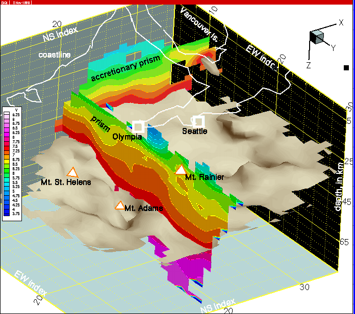
Figure 17--The cross-section from row 18 indicates the southern part of the Tacoma basin and the southern margin of imbricated sedimentary rocks of the accretionary prism in the Olympic Mts. region.
| wa007.html | row 18 | col 8 | western Washington tomography | p-wave model | |||||
|
 Figure 17--The cross-section from row 18 indicates the southern part of the Tacoma basin and the southern margin of imbricated sedimentary rocks of the accretionary prism in the Olympic Mts. region. |
||||||||
Return to:Subduction Zone Dynamics Intro | PACNW | Earthquake Hazards | Central Region | USGS