

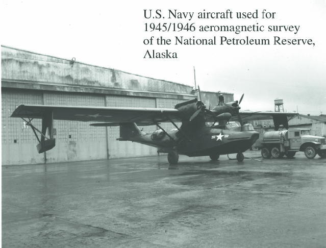
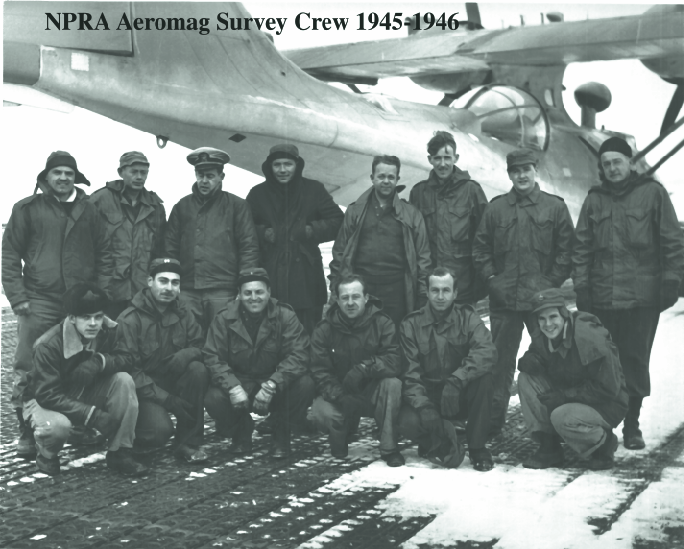
The earliest application of the aeromagnetic method to a regional survey
over land was the 1945-46 survey over the National Petroleum Reserve
Alaska (NPRA) region of northern Alaska.
This is the plane that was used, a Navy PBY-5A.
The survey was carried out in cooperation with
USGS geophysicists. The lineage of the present USGS geophysics group
can be traced back to this era.
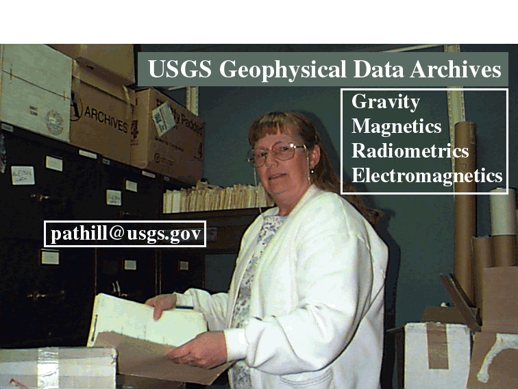
Pat Hill is the keeper of geophysical history for our group.
A key component of the Alaska geophysical data effort involves
getting information from Pat Hill's archives and attaching it to the data.
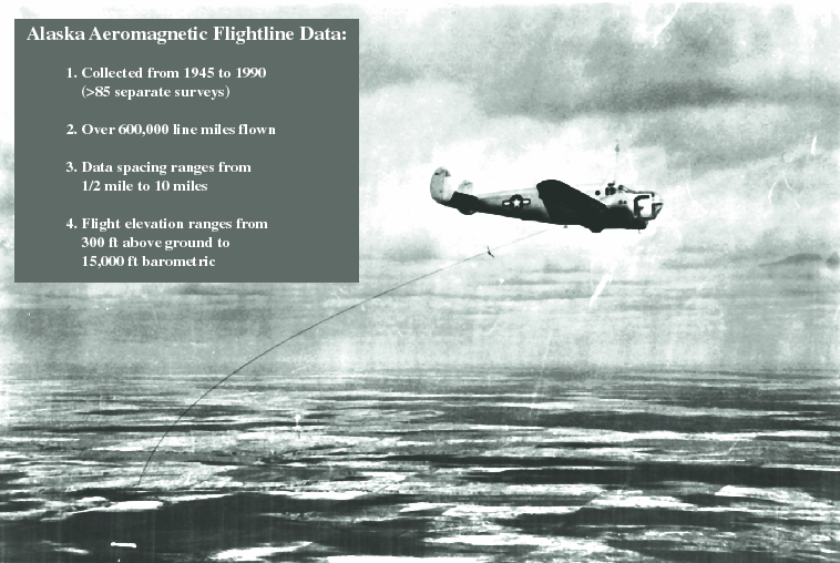
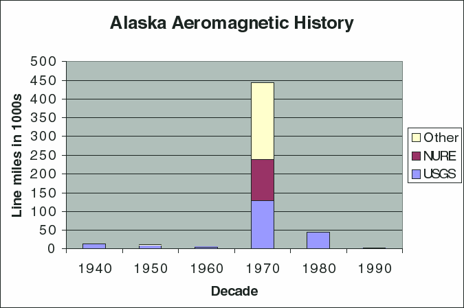
Here are a few summary statistics for the Alaska aeromagnetic data
compilation. The backdrop is a 1950s vintage photograph of the survey
aircraft in use by the USGS Geophysics group at that time. Note
the magnetometer "bird" in tow behind and below the plane.
Data in the database were mostly collected in the 1970's.
I hope that the resurgence of disco and lava lamps presages a
return to Alaska aeromagnetic data collection efforts over the next 10
years.
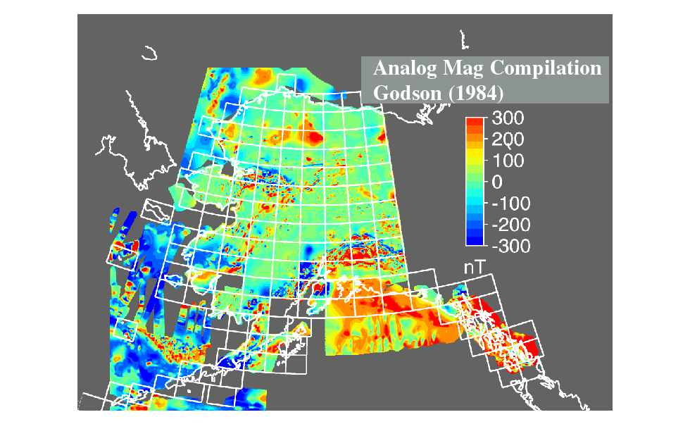
This is a view of the previous aeromagnetic compilation for this area
created by Richard Godson (USGS) as part of the Decade of North
America project of the Geological Society of America (Godson, 1994).
Although the final result was digitized,
most of this compilation was performed by hand
by re-contouring analog maps. The final map was contoured at 100 nT (nanotesla)
and the digitized data are probably accurate to about 5 nT. Some digitizing
errors, particularly affecting the large anomalies in northern Alaska,
make quantitative interpretation of this dataset difficult.
Saltus, R.W., Hill, P.L., Connard, G.G., Hudson, T.L., and Barnett, A., 1999,
Building a Magnetic View of Alaska:
U.S. Geological Survey Open-File Report 99-0418.