 |
|
|
||||
| OFR 99–0557: California Digitized Aeromagnetic Projects |
| About USGS / Science Topics / Maps, Products & Publications / Education / FAQ |
|
|
|
|
|
|
|
|
|
|
|
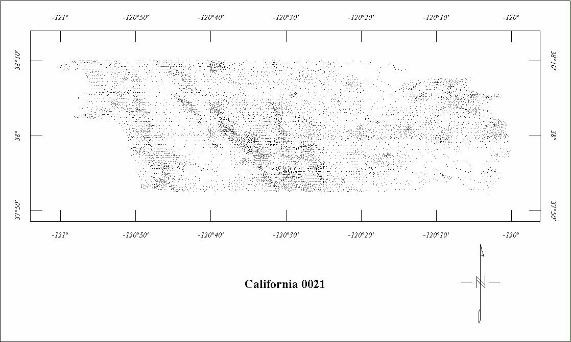
| 0021 | Mother Lode '51 | USGS | 09/51 | 0.5 mi. | E-W | 1000 AG |
2625
|
Tot.field, arb.datum | GP-561 |
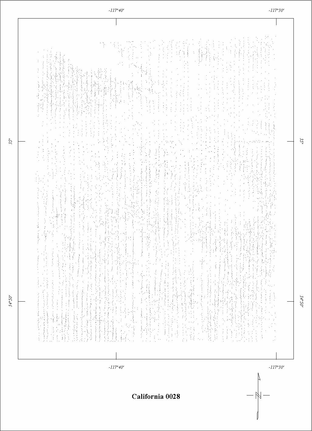
| 0028 | Kramer | USGS | 02/54 | 0.25 mi. | N-S | 500 AG |
1497
|
Tot.field, arb.datum | GP-680 |
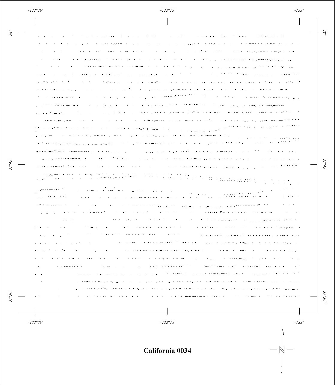
| 0034 | San Francisco Bay | USGS | 03/50-08/51 | 1 mi. | E-W | 1000 AG |
1120
|
Tot.field, arb.datum | 71-294 |
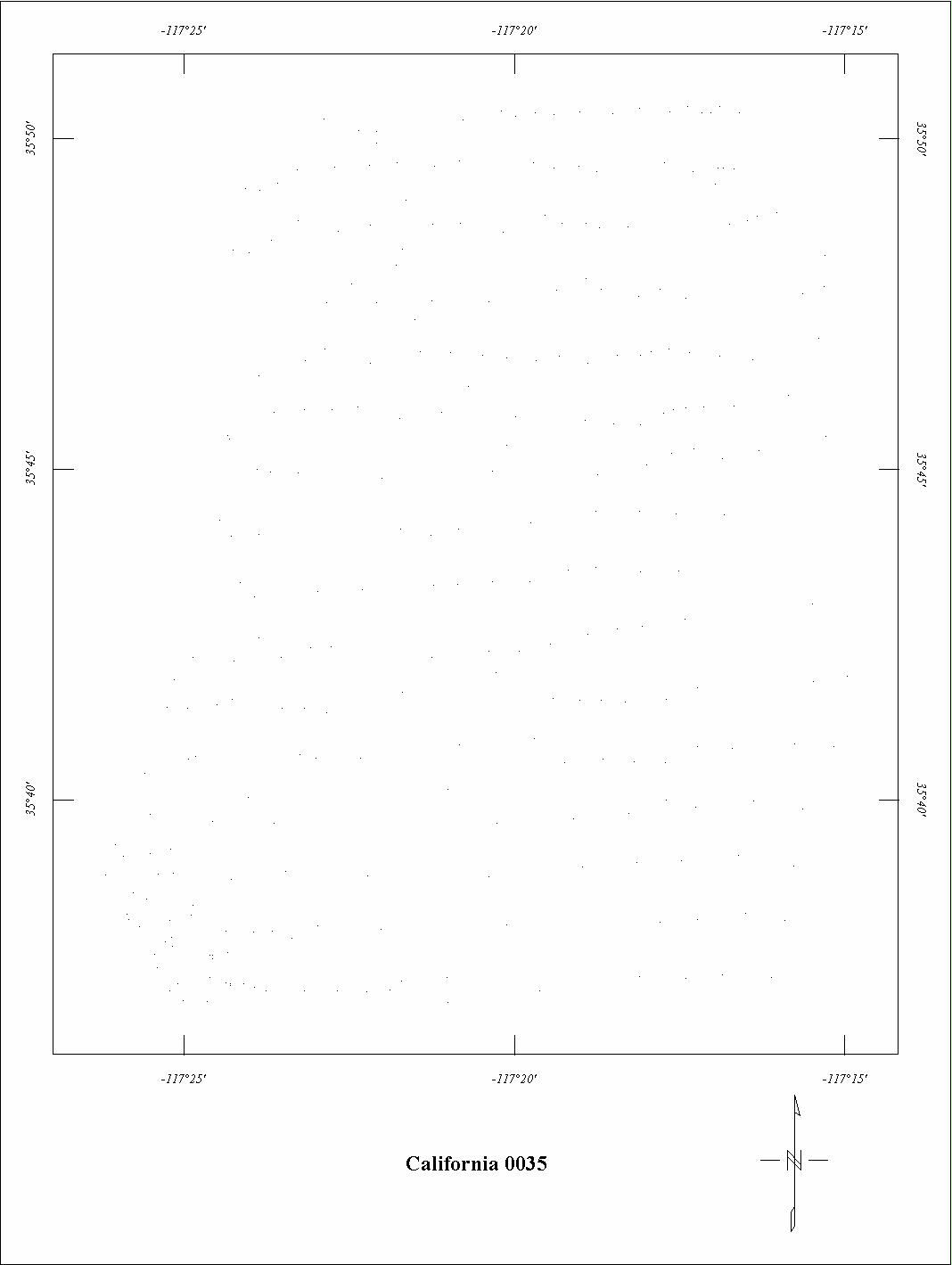
| 0035 | Searles Lake | USGS | 07/53 | 1 mi. | E-W | 3100 B |
265
|
Tot.field, arb.datum | GP-695 |
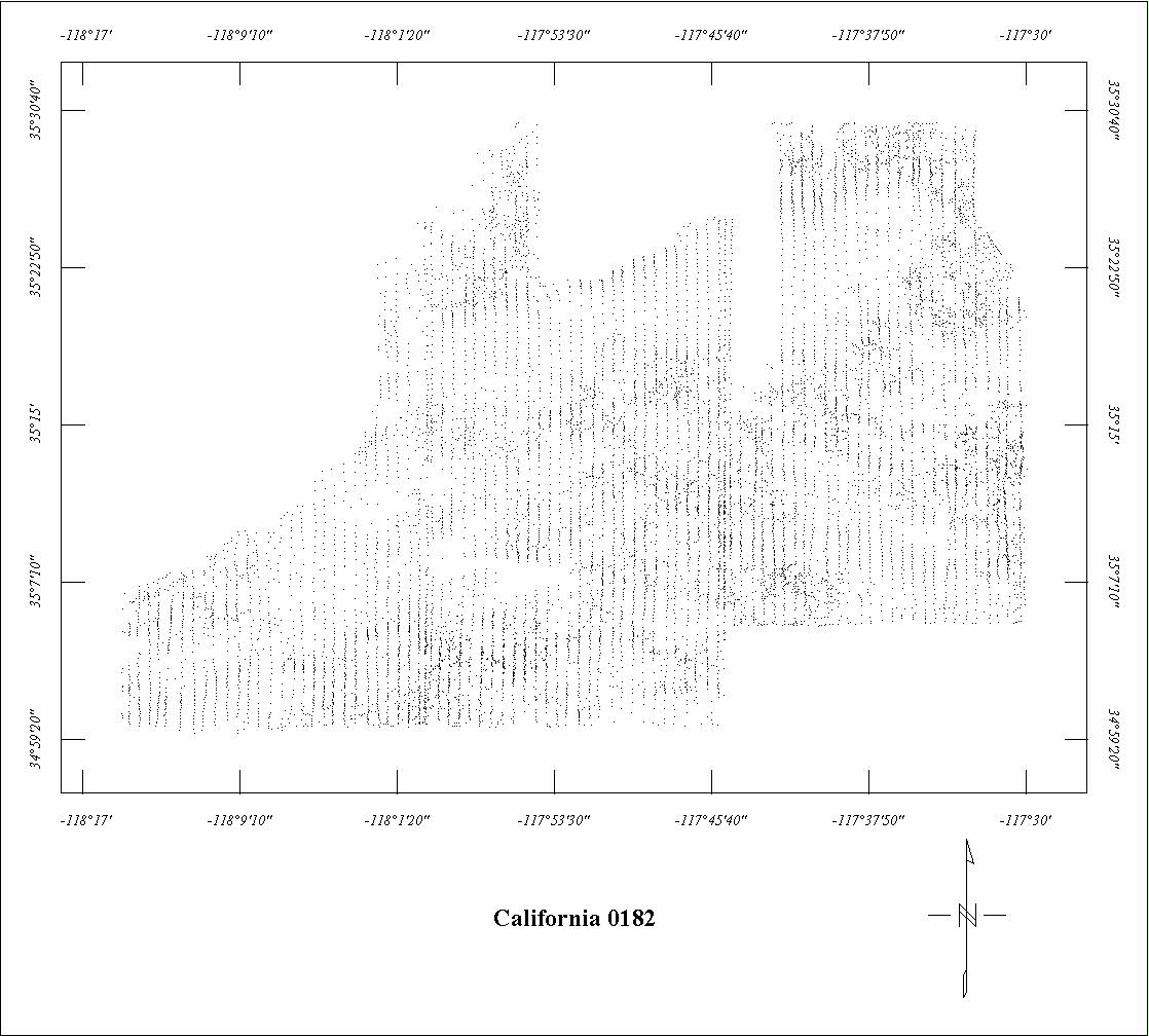
| 0182 | Garlock '55 | USGS | 07/55 | 0.5 mi. | N-S | 750 AG |
2066
|
Tot.field, arb.datum | GP-695 |
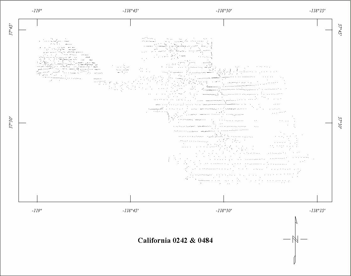
| 0242 | Long Valley '561 | USGS | 08/56 | 1 mi. | E-W | 9000 B |
1020
|
Tot.field, arb.datum | GP-329 |
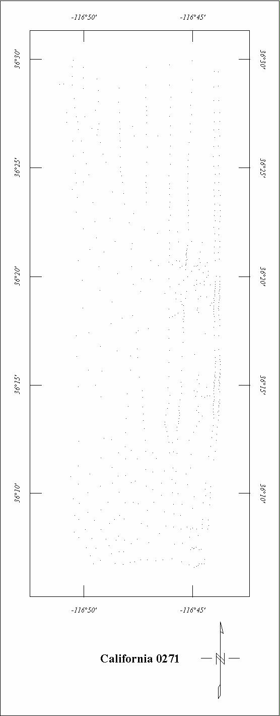
| 0271 | Black Mountains (Death V.) | USGS | 06/57 | 1 mi. | N-S | 7000 B |
260
|
Tot.field, arb.datum | GP-428 |
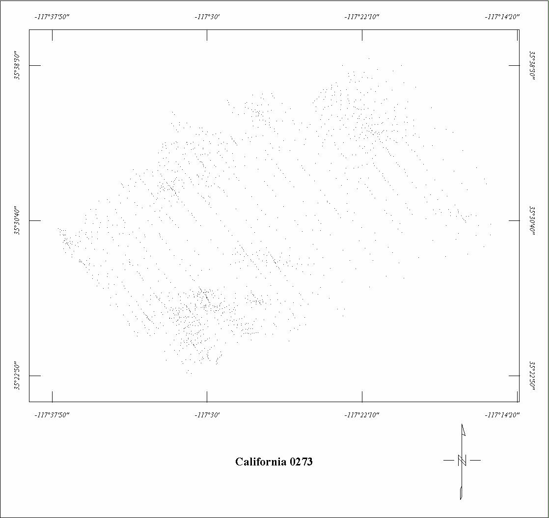
| 0273 | Garlock Extension | USGS | 06/57 | 1 mi. | NW-SE | 750 AG |
255
|
Tot.field, arb.datum | GP-695 |
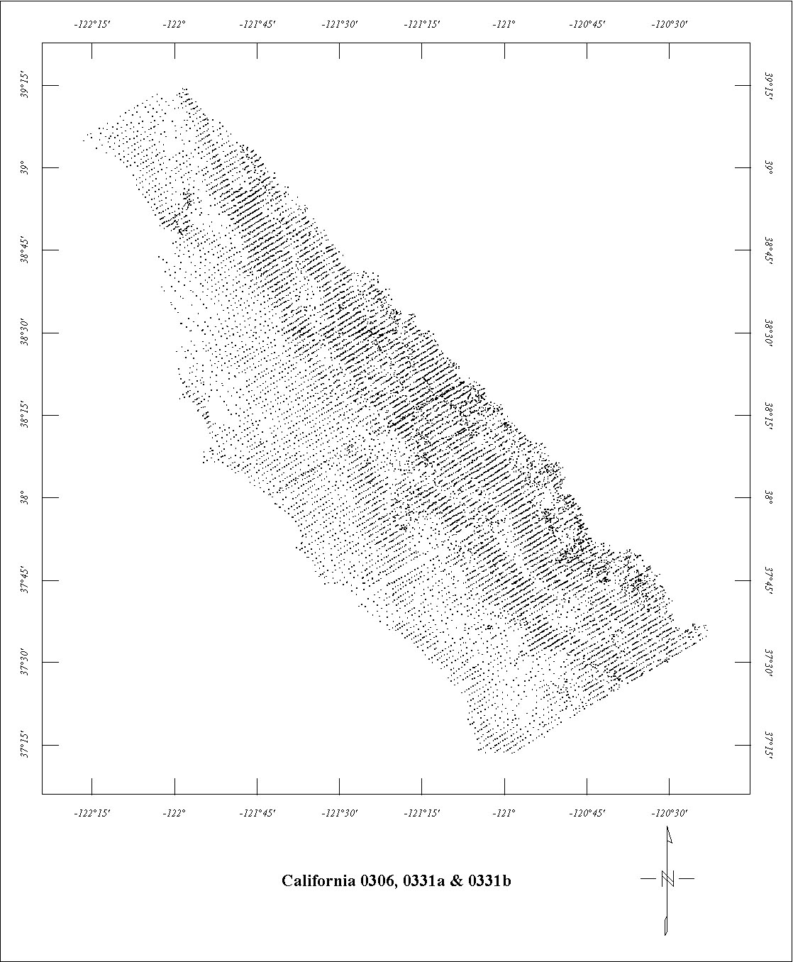
| 0306 | San Francisco ARMS '582 | USGS | 10/58-11/58 | 1 mi. | NE-SW | 500 AG |
5000
|
Tot.field, arb.datum | GP-574 |
| 0329A | Los Angeles ARMS South | USGS | 05/59 | 1 mi. | N-S | 500 AG |
2000
|
Tot.field, arb.datum | GP464,465,466 |
| 0329C | Los Angeles ARMS North | USGS | 05/59 | 1 mi. | N-S | 500 AG |
1600
|
Tot.field, arb.datum | GP-695 |
| 0331A | San Francisco ARMS N. '592 | USGS | 04/59-05/59 | 1 mi. | NE-SW | 500 AG |
2500
|
Tot.field, arb.datum | GP-574 |
| 0331B | San Francisco ARMS S. '592 | USGS | 04/59-05/59 | 1 mi. | NE-SW | 500 AG |
2500
|
Tot.field, arb.datum | GP-574 |
| 0484 | Little Antelope3 | USGS | 08/56 | 0.5 mi. | E-W | 9000 B |
60
|
Tot.field, arb.datum | JGR v.81 |
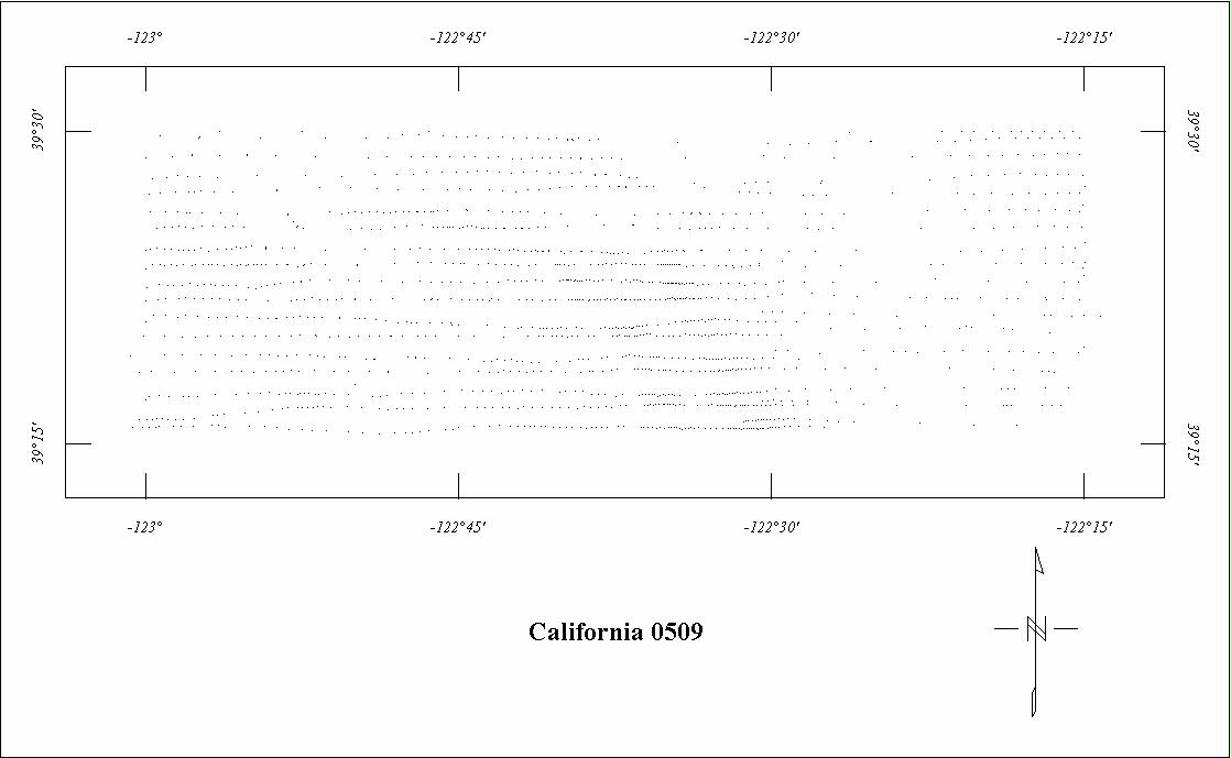
| 0509 | Stonyford1 | USGS | 10/62 | 1 mi. | E-W | 7000 B |
1080
|
Tot.field, arb.datum | B-1495 |
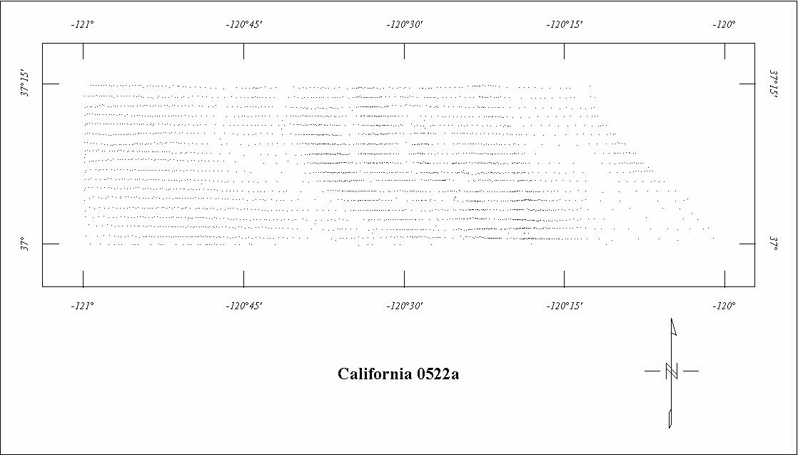
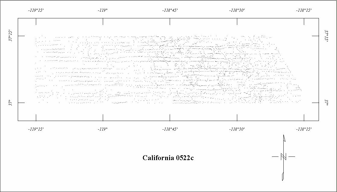
| 0522A | Sierra Nevada '63 West1 | USGS | 10/63 | 1 mi. | E-W | 2500 B |
1285
|
Tot.field, arb.datum | GP-657 |
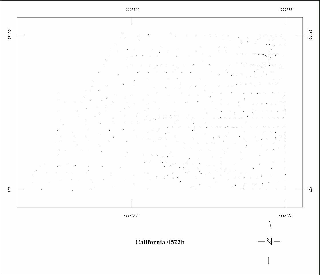
| 0522B | Sierra Nevada '63 Central1 | USGS | 10/63 | 1 mi. | E-W | 8000 B |
490
|
Tot.field, arb.datum | GP-657 |
| 0522C | Sierra Nevada '63 East1 | USGS | 10/63 | 1 mi. | E-W | 13,500 B |
1285
|
Tot.field, arb.datum | GP-657 |
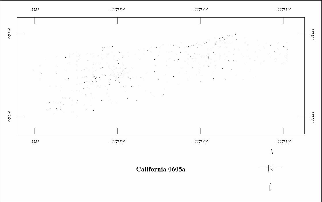
| 0605A | Garlock West '67 | USGS | 05/67 | 1 mi. | E-W | 6000 B |
135
|
Tot.field, arb.datum | GP-695 |
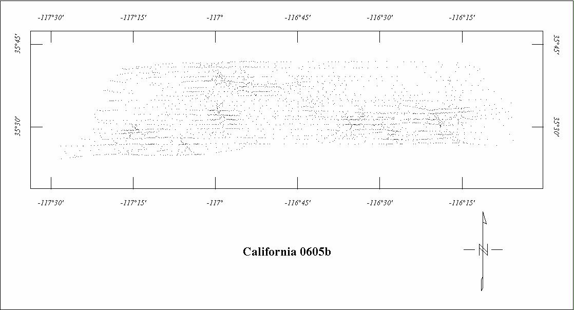
| 0605B | Garlock East '67 | USGS | 05/67 | 1 mi. | E-W | 6000 B |
1525
|
Tot.field, arb.datum | GP-695 |
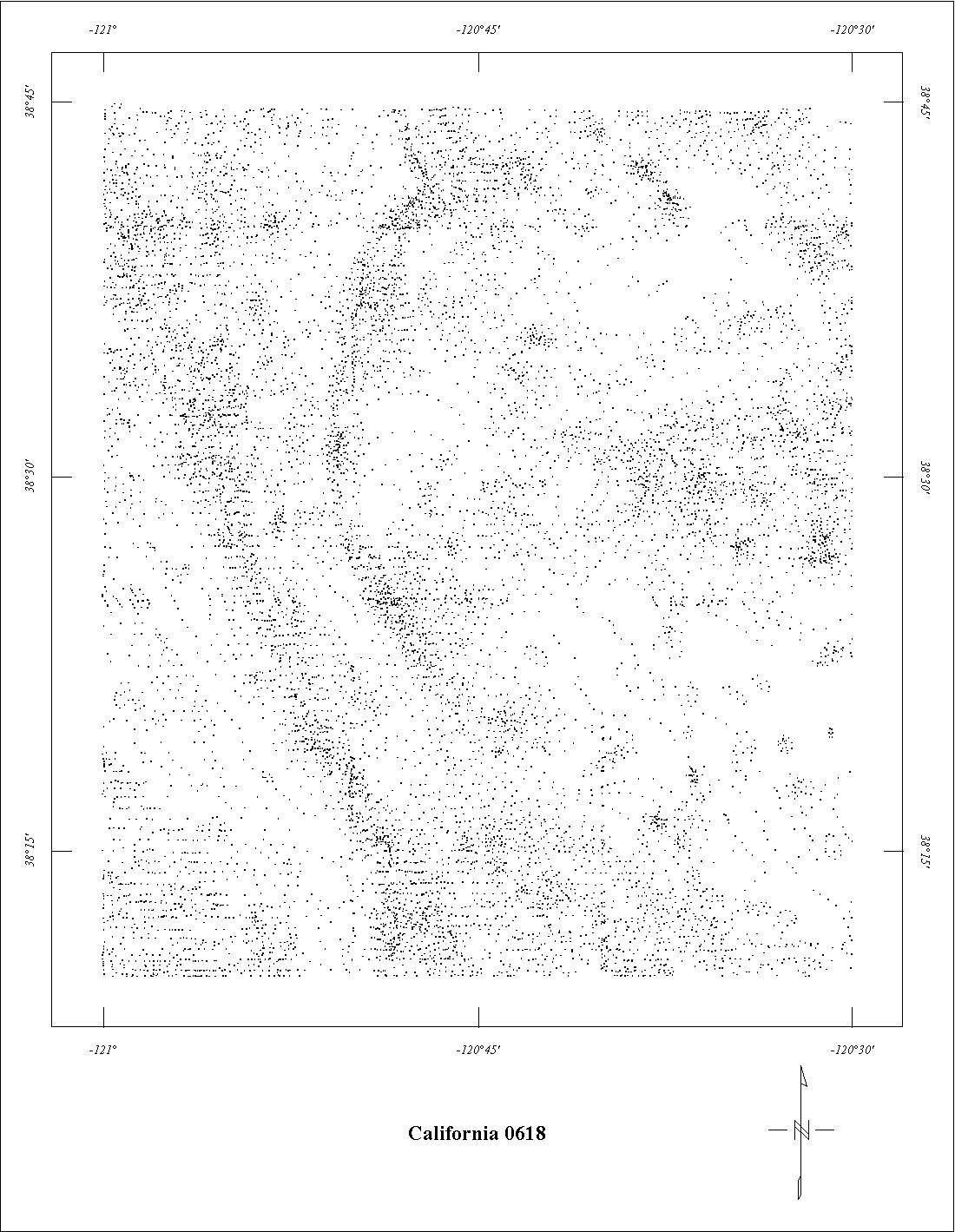
| 0618 | Mother Lode North | USGS | 09/67 | 0.5 mi. | E-W | 1000 AG |
2280
|
Tot.field, arb.datum | GP-671 |
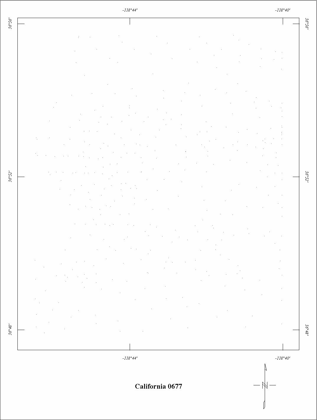
| 0677 | High Sierra4 | USGS | 04/70 | 1 mi. | E-W | 14,000 B |
1600
|
Tot.field, arb.datum | B-1371A |
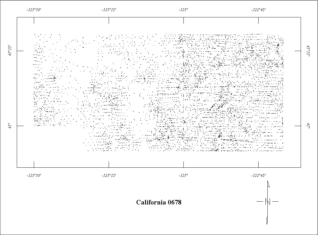
| 0678 | Trinity Alps | USGS | 04/70 | 1 mi. | E-W | 8500 B |
1152
|
Tot.field, arb.datum | B-1371B |
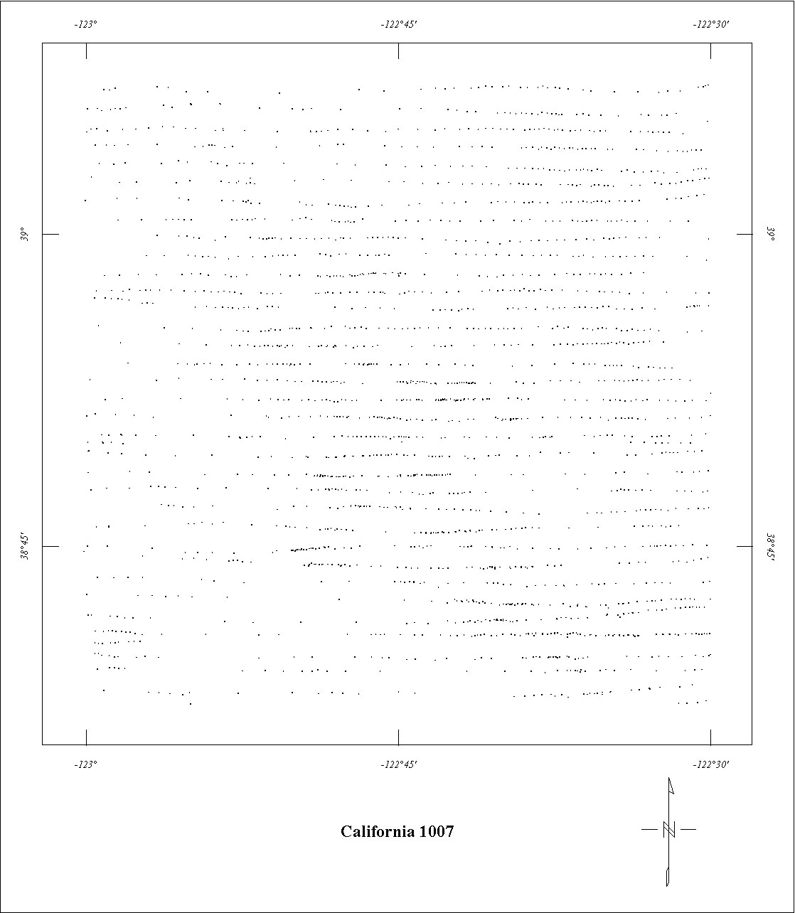
| 1007 | Clear Lake '72 | USGS | 05/72 | 1 mi. | E-W | 4500 B |
1044
|
Tot.field, arb.datum | 73-299 |
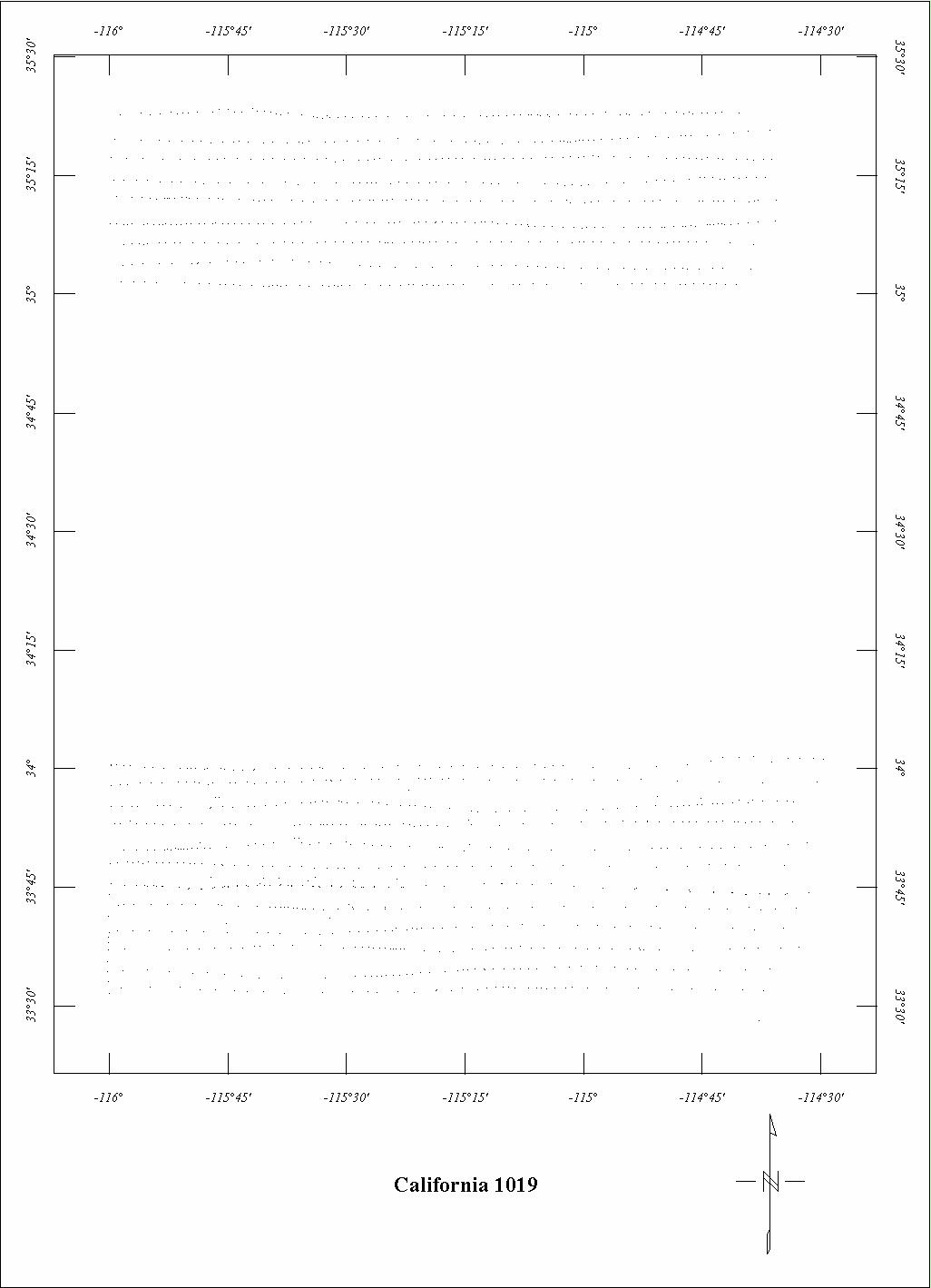
| 1019 | Southeastern California1 | USGS | 03/73-04/73 | 1 mi. | E-W | 9000 B |
4152
|
Tot.field, arb.datum | 75-052 |
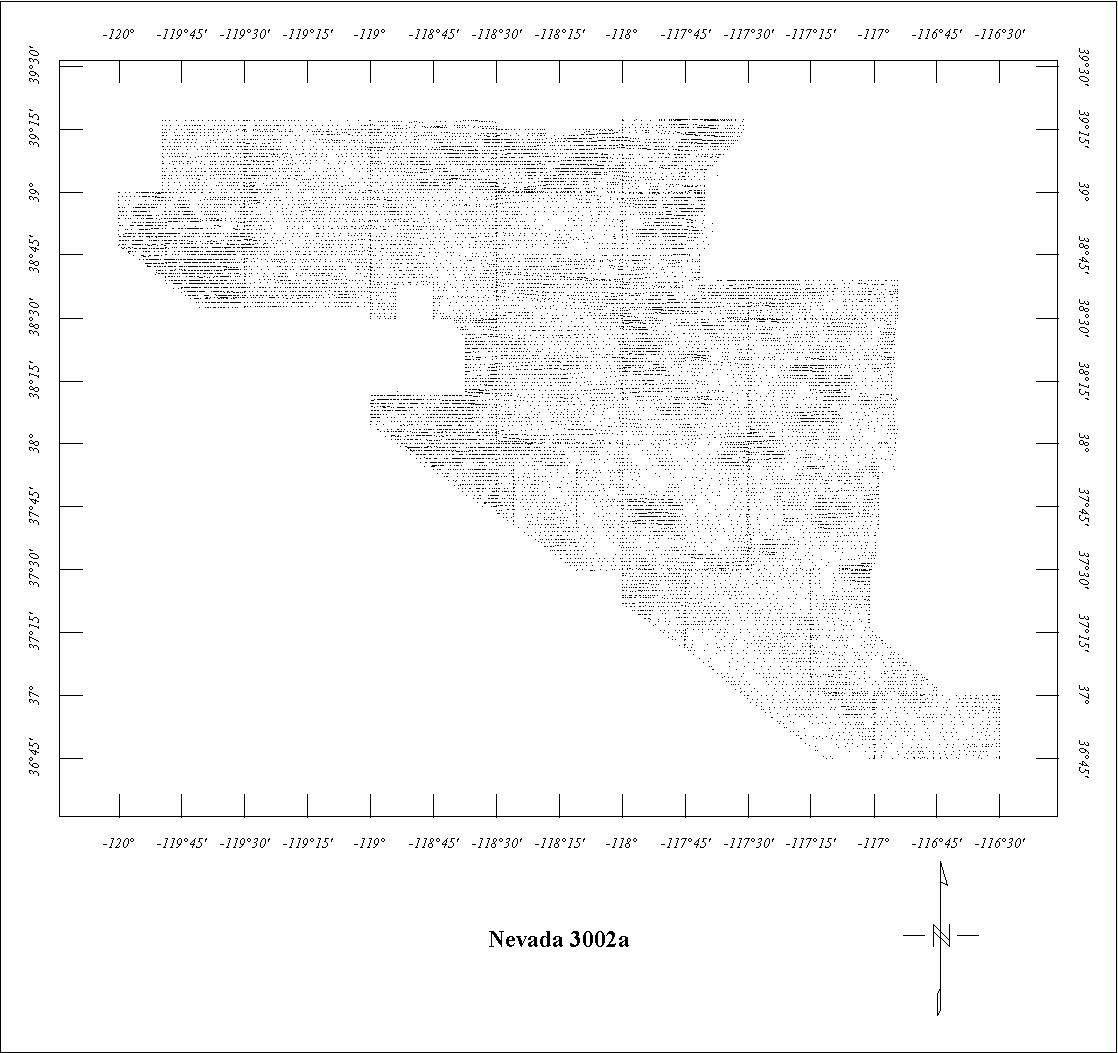
| 3002A | Western Nevada | LKB | 02/67-05/67 | 1 mi. | E-W | 9000 B |
16440
|
Tot.field, arb.datum | OF67-224-255 |
| 3002B | Western Nevada - Tahoe | LKB | 02/67-05/67 | 1 mi. | E-W | 11,000 B |
780
|
Tot.field, arb.datum | OF67-232,237 |
| 3002C | Western Nevada - Aurora | LKB | 02/67-05/67 | 1 mi. | E-W | 11,000 B |
1080
|
Tot.field, arb.datum | OF67-224,230,254 |
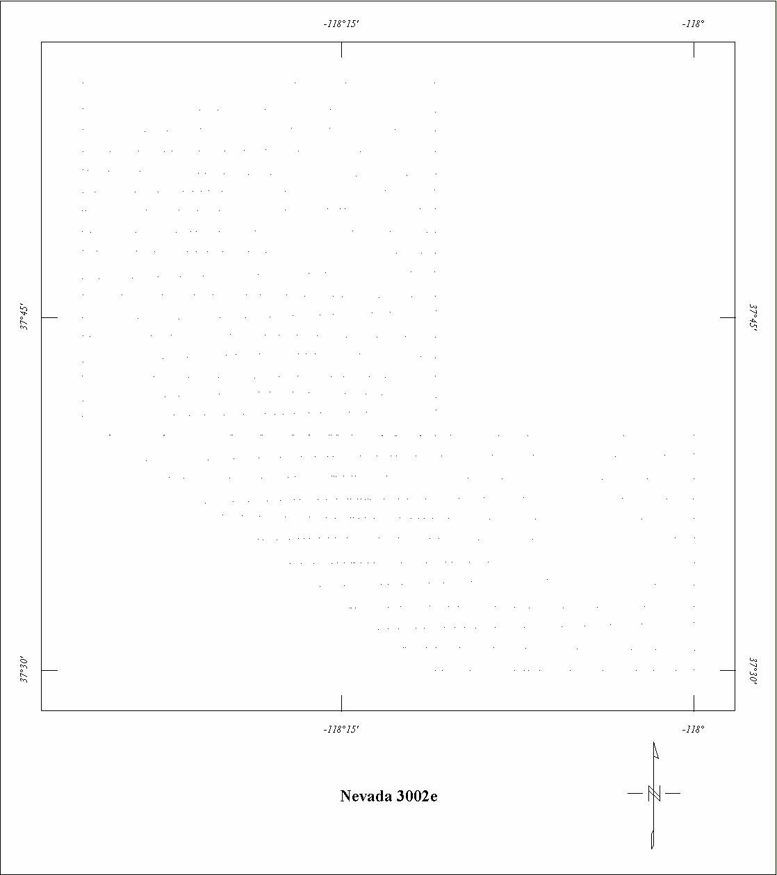
| 3002E | Western Nevada - Inyo | LKB | 02/67-05/67 | 1 mi. | E-W | 15,000 B |
440
|
Tot.field, arb.datum | OF67-226 |
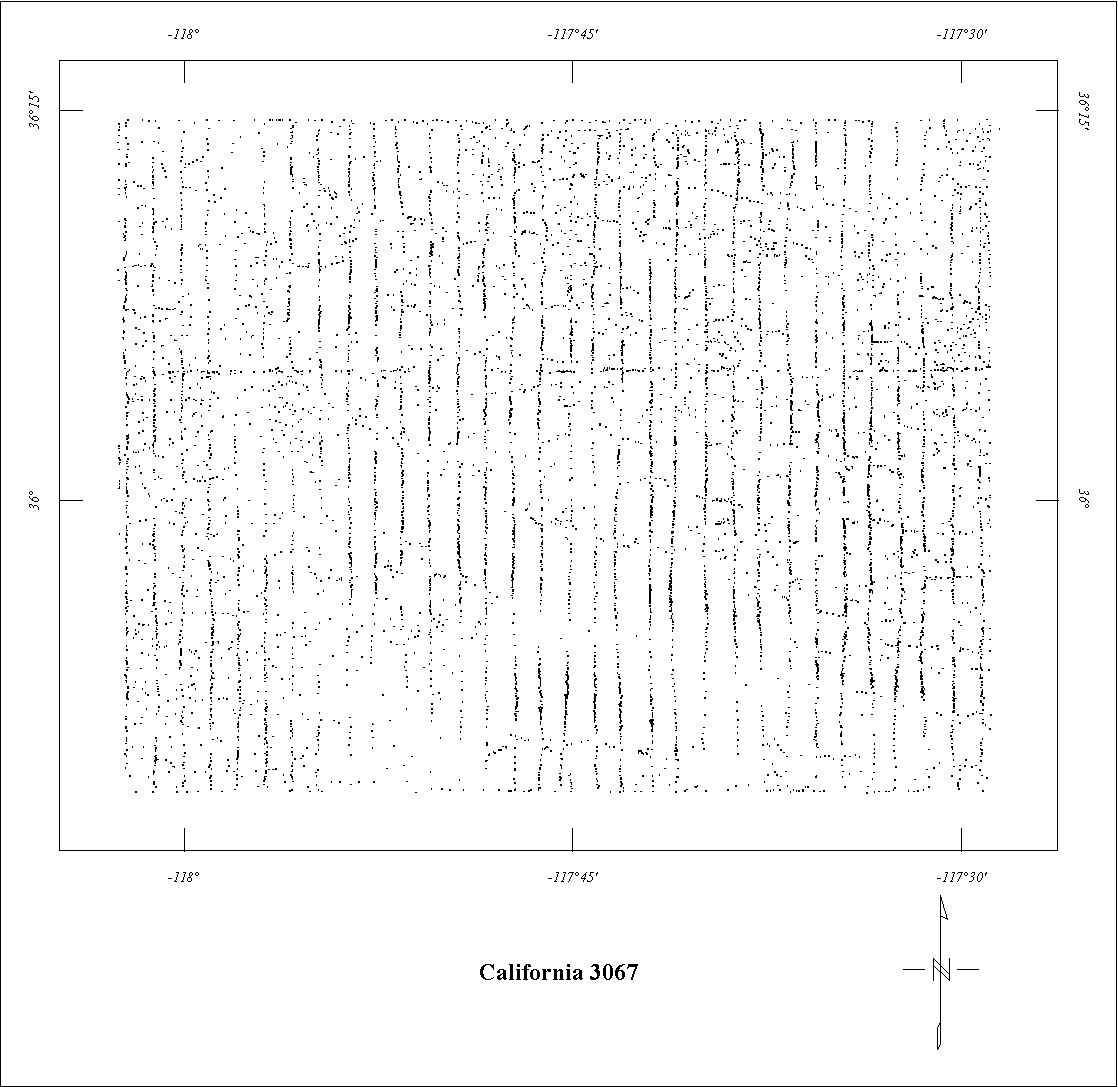
| 3067 | Coso Hot Springs '75 | Aerial | 03/75-04/75 | 1 mi. | N-S | 7000 B |
1000
|
POGO, 50882 | 76-698 |
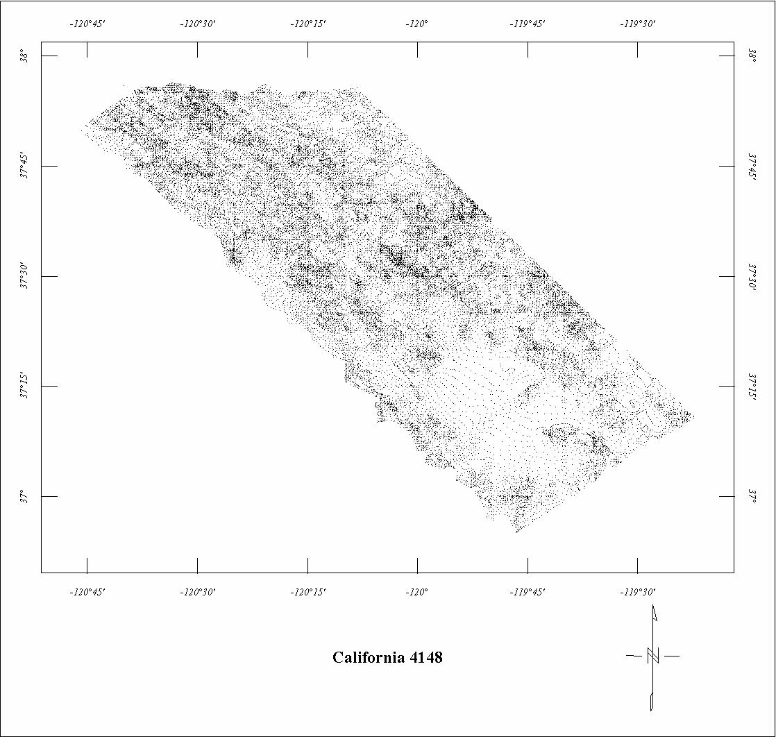
| 4148 | Central Sierra Nevada | Aero | ?/56 | 0.37-.75 mi. | NE-SW | 500 AG |
4585
|
Tot.field, arb.datum | 84-216 |
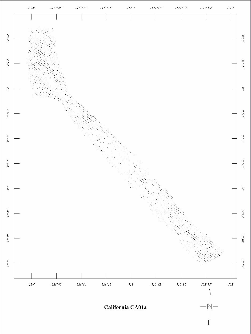
| CA01A | Coastal California N. | Gulf | ?/54 | 1 mi. | NE-SW | 3000 B |
3000
|
Tot.field, arb.datum | CA B-190+ |
| CA01B | Coastal California S. | Gulf | ?/54 | 1 mi. | NE-SW | 3000 B |
350
|
Tot. field, arb. Datum | GP-932 |
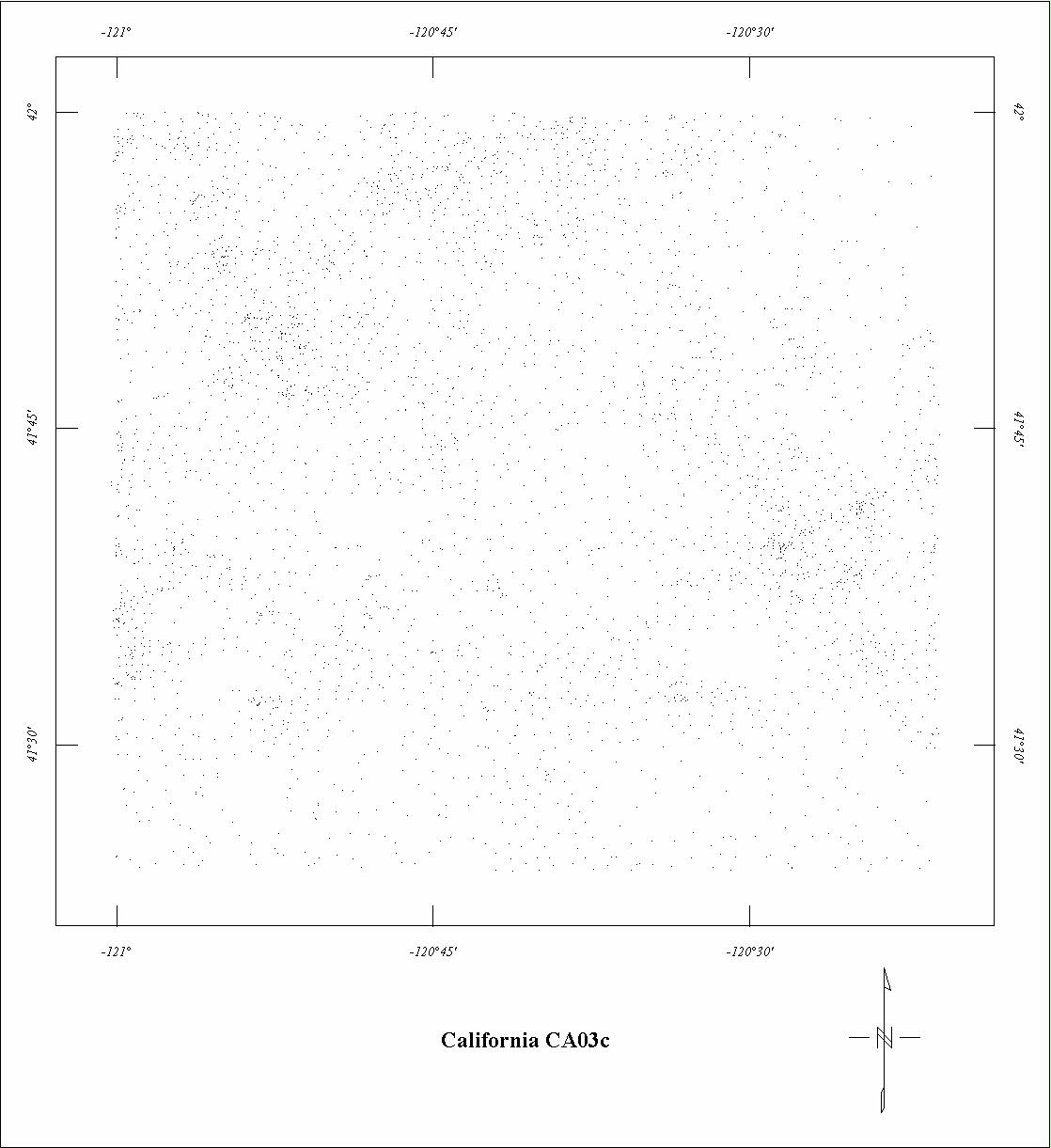
| CA03C | Modoc North-central | Aero? | ?/57 | 2 mi. | N-S | 7000 B |
825
|
? | CA78-13A |
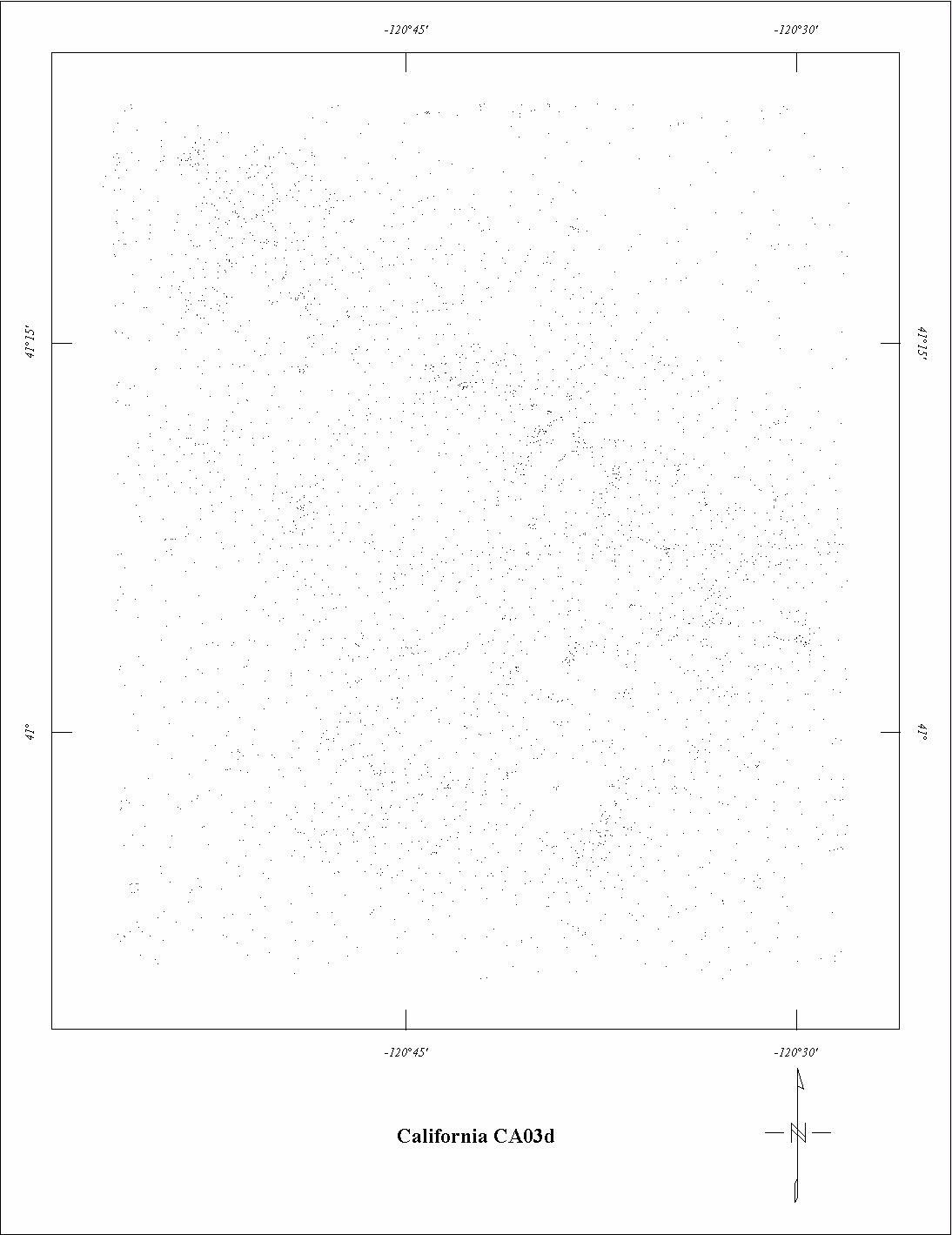
| CA03D | Modoc South-central | Aero? | ?/57 | 2 mi. | N-S | 8000 B |
600
|
? | CA78-13A |
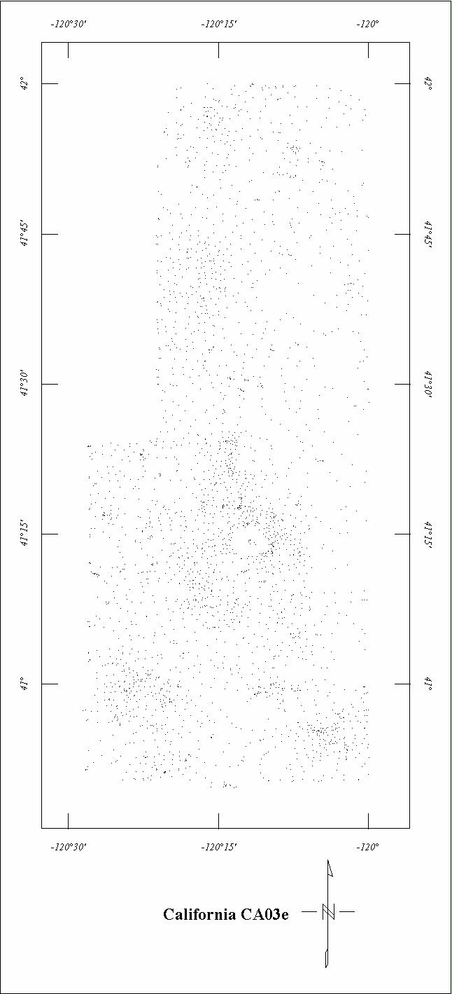
| CA03E | Modoc East | Aero? | ?/57 | 2 mi. | N-S | 9500 B |
1000
|
? | CA78-13A |
| CA06A | N. Great Valley - Northeast | Aero? | ?/51 | 1 mi. | E-W | 3500 B |
1800
|
? | CA78-13D |
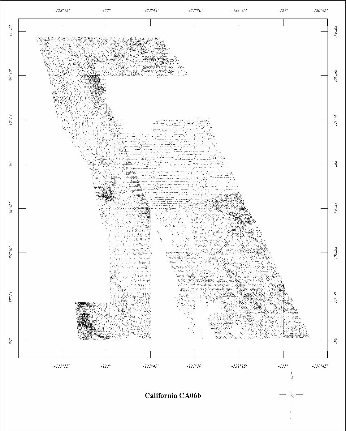
| CA06B | N. Great Valley - Southeast4 | Aero? | ?/51 | 1 mi. | E-W | 2500 B |
5500
|
? | CA78-13D |
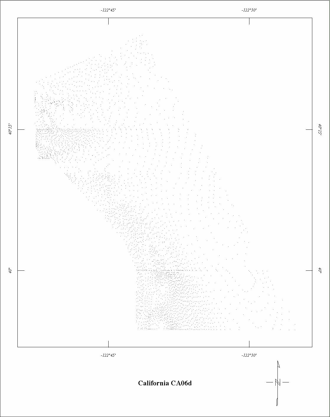
| CA06D | N.G.V. - Northwest | Aero? | ?/51 | 1 mi. | E-W | 4500 B? |
500
|
? | CA78-13D |
| CA06E | N.G.V. - Newville | Aero? | ?/51 | 1 mi. | E-W | 3500 B? |
275
|
? | CA78-13D |
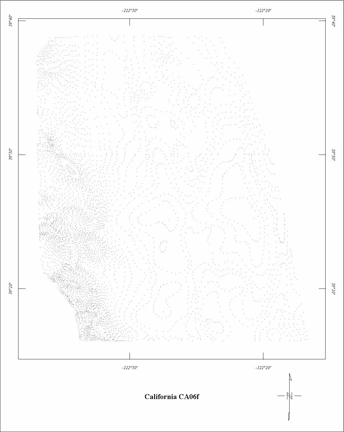
| CA06F | N.G.V. - Stony River | Aero? | ?/51 | 1 mi. | E-W | 4500 B? |
475
|
? | CA78-13D |
| CA06G | N.G.V. - Wilbur Springs | Aero? | ?/51 | 1 mi. | E-W | 5000 B? |
800
|
? | CA78-13D |
| CA06H | N.G.V. - Mt. Vaca | Aero? | ?/51 | 1 mi. | E-W | 4500 B? |
600
|
? | CA78-13D |
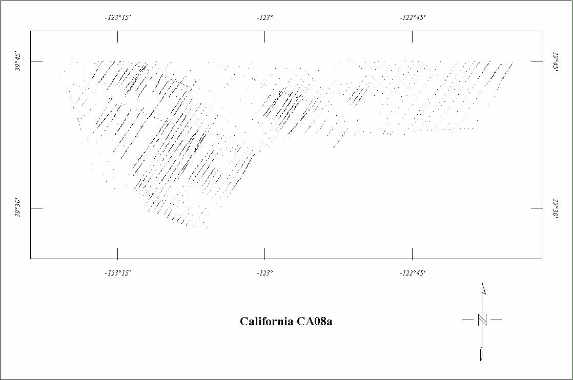
| CA08A | North Coastal Area | Fairchild | 12/64 | 0.5-1 mi. | N30E | 500 AG |
1500
|
Tot.field, arb.datum | CA78-13E |
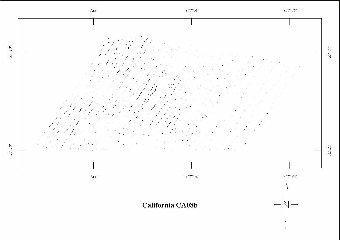
| CA08B | North Coastal Area SE | Fairchild | 12/64 | 0.5-1 mi. | N30E | 500 AG |
200
|
Tot.field, arb.datum | unpub. |
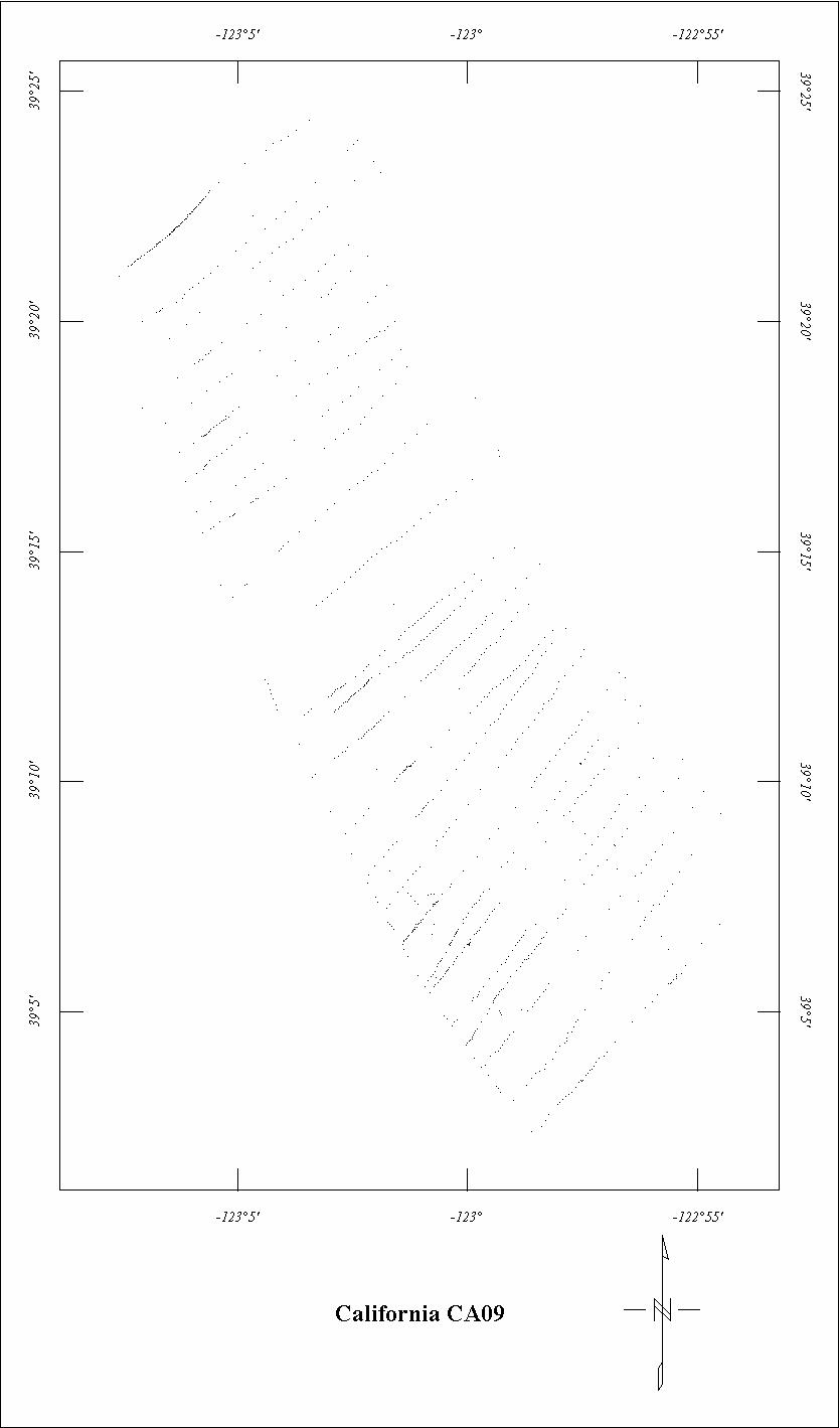
| CA09 | North Coastal Extension | Fairchild | 12/64 | 0.5-1 mi. | NE-SW | 500 AG |
150
|
Tot.field, arb.datum | CA78-13E |
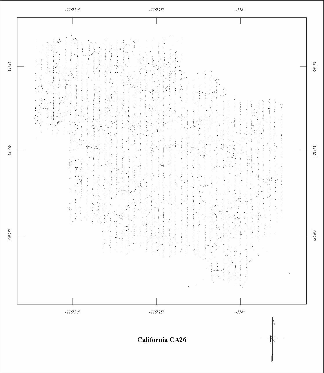
| CA26 | Twenty-Nine Palms | Aerial | 09/82 | 1 mi. | N-S | 1000 AG |
1570
|
? | unpub |
| CA27A | Offshore S. CA-South5 | ? | 1961 | 1 mi. | NE-SW | 2500 ASL? |
23700
|
regional field | 93-520 |
| CA27B | Offshore S. CA-North5 | ? | 1961 | 1 mi. | N-S | 2500 ASL? |
5200
|
regional field | 93-520 |
1 Projects 0242, 0509, 0522a, 0522B, 0522C, and 1019 are incomplete. The missing
data are superceded by digital data or another digitized data set.
2 Projects 0306, 0331A and 0331B are fully merged.
3 See Project 0242. Project 0484 is fully merged with 0242.
4 Project 0677 and CA06B are incomplete. Only parts of 0677 and CA06B were digitized.
5 Project CA27A is fully merged with CA27B.
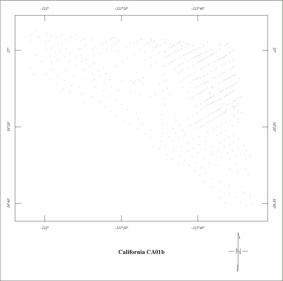
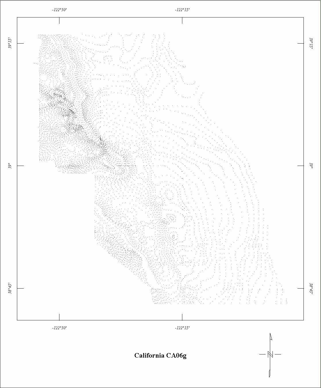
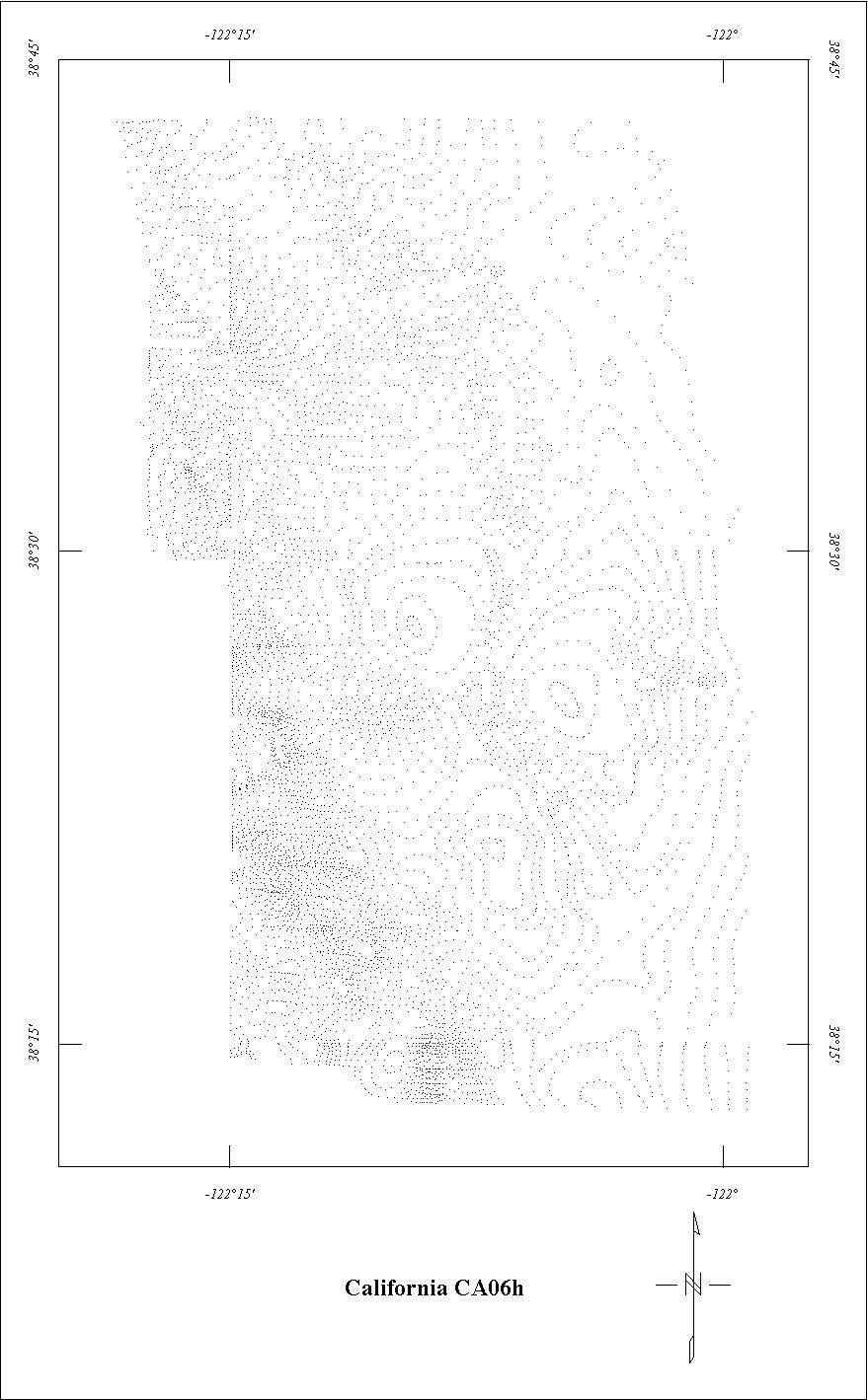
Click on the individual survey numbers that are of interest to download ASCII XYZ file to your hard drive or click on the name to view a point plot.
Description of Table
*For more complete references see: Hill, P. L., 1991, Bibliographies and location maps of publications on aeromagnetic and aeroradiometric surveys for the states west of approximately 104° longitude (exclusive of Hawaii and Alaska): U.S. Geological Survey Open-File Report 91-0370-A, 172 p.
Further information about aeromagnetic data from the state of Kentucky can be
obtained by contacting Pat Hill, (303) 236-1343, email (pathill@usgs.gov), or Bob Kucks, (303) 236-1405, email (rkucks@usgs.gov), or click the button below.
|
and Merged Aeromagnetic Data for California |
Data Format and Digitizing Technique |
Aeromagnetics Home Page |
This report is preliminary and has not been reviewed for conformity with U.S.
Geological Survey editorial Standards. Use of brand names is for descriptive
purposes and does not constitute endorsement by the U.S. Geological Survey.
Last modified 9/14/1999.
| AccessibilityFOIAPrivacyPolicies and Notices | |
| |
|