 |
|
|
||||
| OFR 99–0557: Colorado Digitized Aeromagnetic Projects |
| About USGS / Science Topics / Maps, Products & Publications / Education / FAQ |
|
|
|
|
|
|
|
|
|
|
|
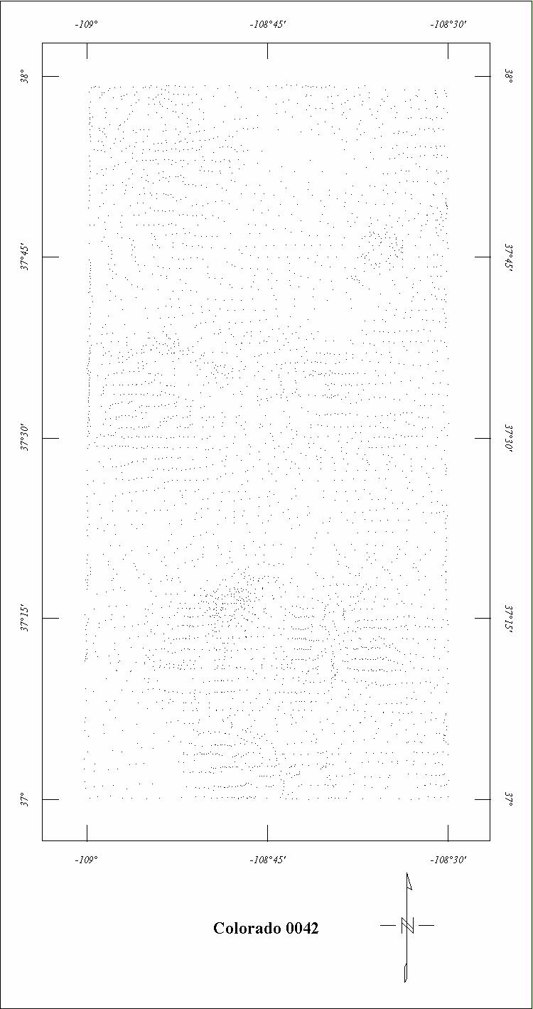
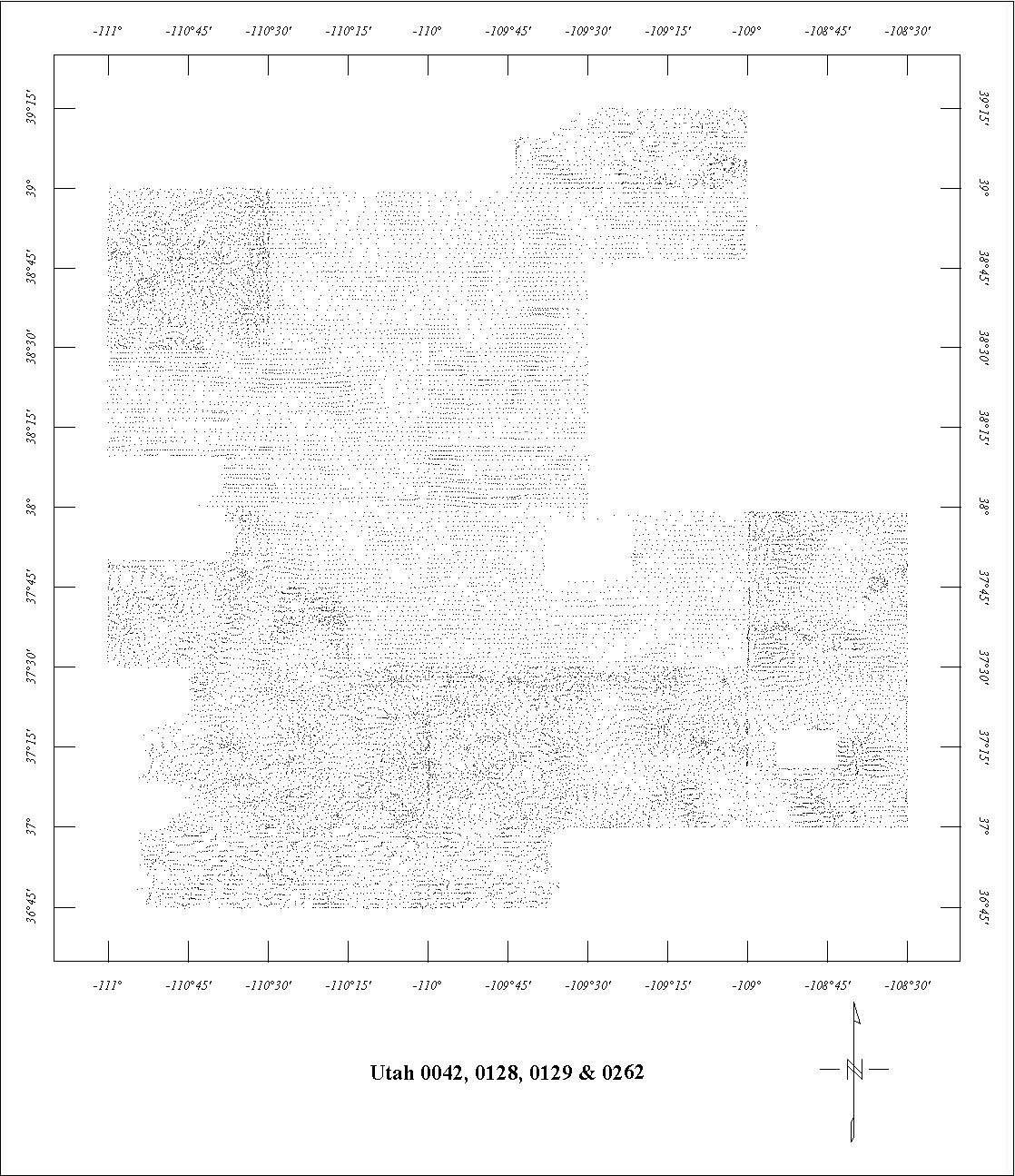
| 0042 | South Colorado Plateau1&2 | USGS | 08/1953-11/1953 | 1 mi. | E-W | 8500 B |
8792
|
Tot.field, arb.datum | P-736 |
| 0044 | Uravan | USGS | 02/1952-09/1952 | 2 mi. | E-W | 500 AG |
2500
|
Tot.field, arb.datum | P-316A |
| 0128 | North Colorado Plateau2 | USGS | 02/1955 | 1 mi. | E-W | 8500 B |
3620
|
Tot.field, arb.datum | P-736 |
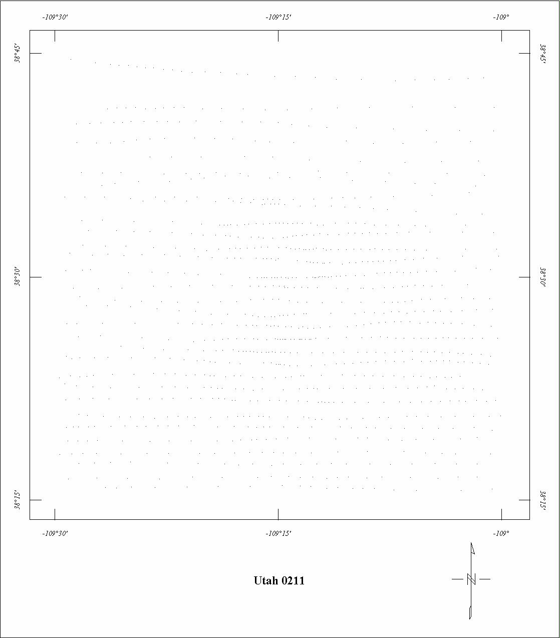
| 0211 | La Sal Mountains '55 | USGS | 09/1955 | 1 mi. | E-W | 12,500 B |
590
|
Tot.field, arb.datum | P-316F |
| 0243 | La Sal Mountains '56 | USGS | 08/1956 | 1 mi. | E-W | 12,500 B |
506
|
Tot.field, arb.datum | P-316F |
| 0262 | Florence Canyon-Westwater2 | USGS | 08/1956 | 1 mi. | E-W | 8500 B |
804
|
Tot.field, arb.datum | P-736 |
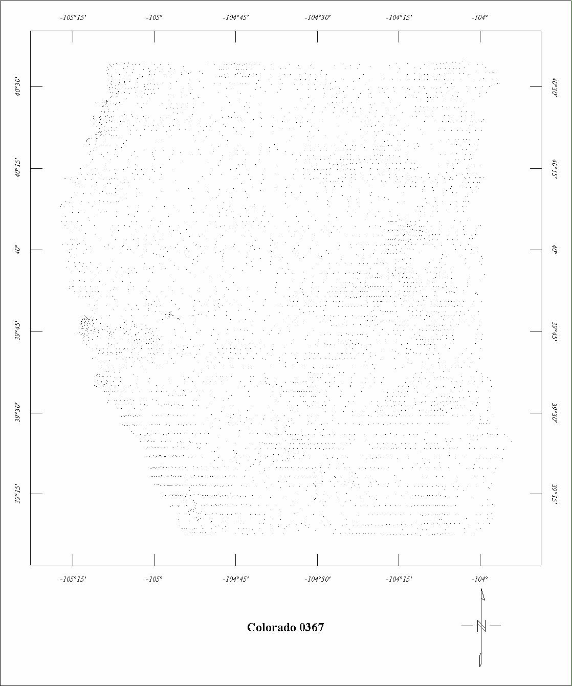
| 0367 | Rocky Flats ARMS | USGS | 09/1960-10/1960 | 1 mi. | E-W | 500 AG |
6600
|
Tot.field, arb.datum | GP-557,505r |
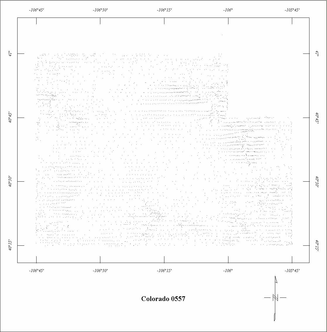
| 0557 | North Park | USGS | 10/1965 | 1 mi. | E-W | 13,000 B |
2900
|
Tot.field, arb.datum | 78-552 |
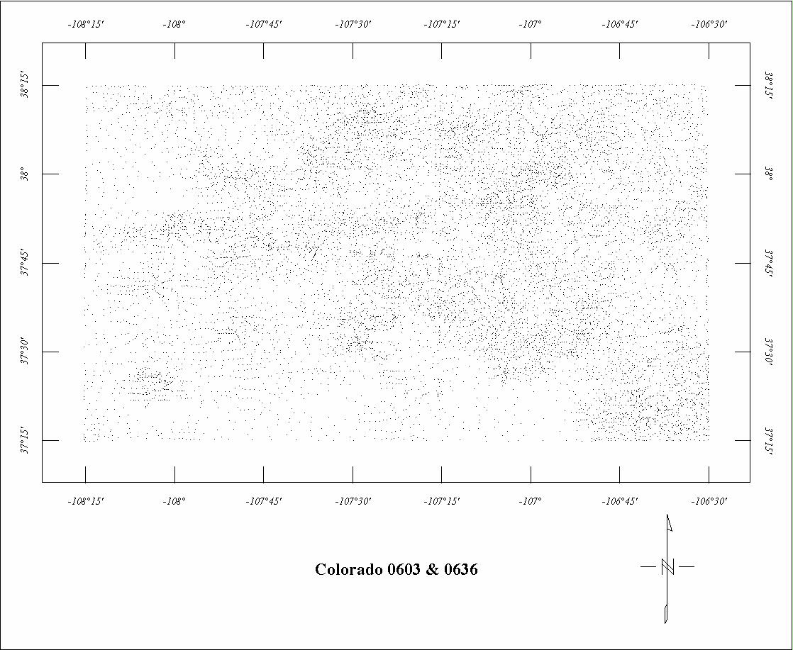
| 0603 | Durango '67 | USGS | 04/1967 | 1 mi. | E-W | 14,500 B |
2760
|
Tot.field, arb.datum | GP-840 |
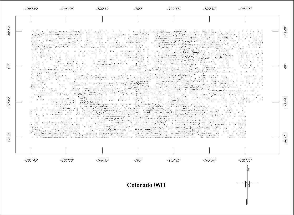
| 0611 | North Park-Central City 67 | USGS | 07/1967 | 1 mi. | E-W | 14,000 B |
4645
|
Tot.field, arb.datum | 68-295 |
| 0636 | Durango '683 | USGS | 04/1968 | 1 mi. | E-W | 14,500 B |
3700
|
Tot.field, arb.datum | 69-211 |
| 0672B | Colorado Regional West4 | USGS | 09/1969-03/1970 | 5 mi. | E-W | 14,500 B |
3500
|
IGRF65 | GP-836 |
| 0690 | West Elk | USGS | 07/1970 | 1 mi. | N-S | 13,500 B |
620
|
Tot.field, arb.datum | 78-817 |
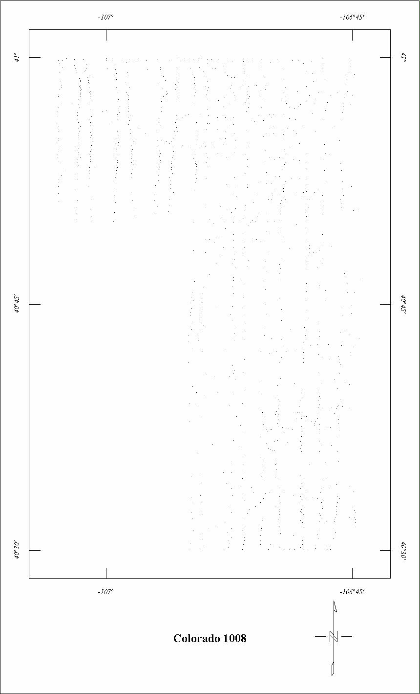
| 1008 | North Park Extension | USGS | 05/1972-06/1972 | 1 mi. | N-S | 12,000 B |
477
|
Tot.field, arb.datum | 78-552 |
| 1120 | Mt. Massive5 | USGS | 02/1984-03/1984 | 0.5 mi. | E-W | 1000 AG |
2010
|
IGRF80 | 85-735 |
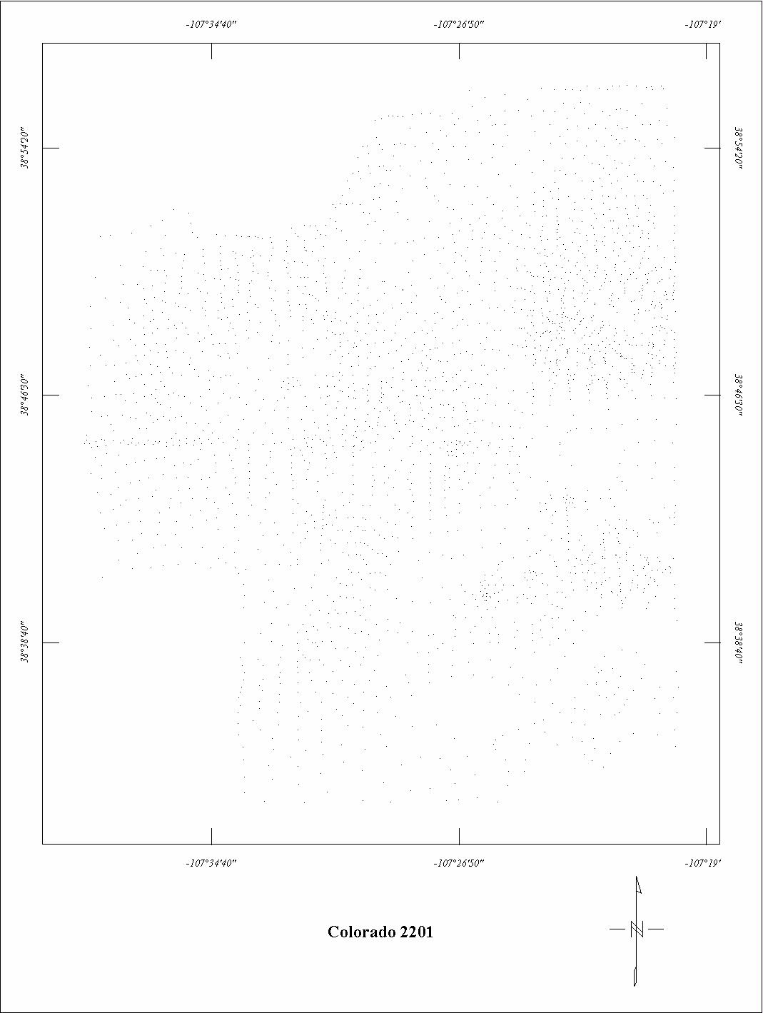
| 2201 | West Elk Extension | USGS | 09/1973 | 1 mi. | N-S | 13,500 B |
390
|
Tot.field, arb.datum | 78-817 |
| 2230 | Comanche Big South | USGS | 06/1975 | 1 mi. | E-W | 13,000 B |
350
|
Tot.field, arb.datum | 78-552 |
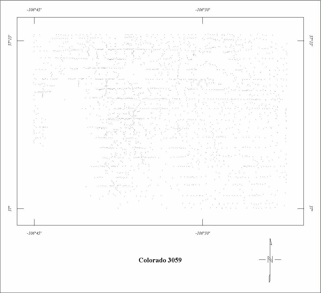
| 3059 | Chama | Aerial | 09/1974-11/1974 | 1 mi. | E-W | 12,000 B |
382
|
POGO, 53675 | 76-420 |
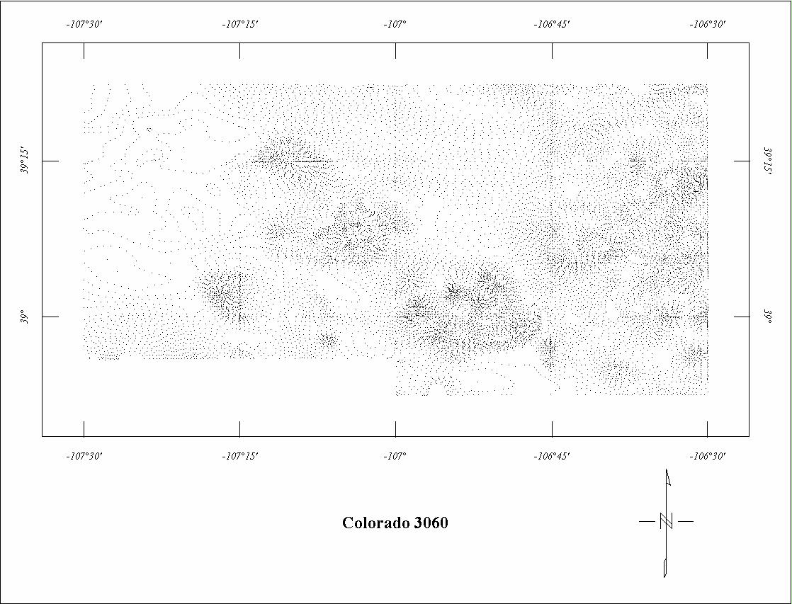
| 3060 | Maroon Bells | Aerial | 09/1974-11/1974 | 1 mi. | E-W | 14,000 B |
1814
|
POGO, 54586 | 79-1449 |
| 3163 | Hunter Frying Pan5 | LKB | 04/1979-05/1979 | 0.5 mi. | N-S | 1000 AG |
250
|
IGRF75, 51300 | 79-1226 |
| 4067 | Buffalo Peaks5 | HighLife | 11/1981 | 0.5 mi. | N70E | 1000 AG |
405
|
IGRF75, 55288 | 82-978 |
1 The Colorado portion of Project 0042 has been digitized twice. See Utah for the
other version.
2 See Utah Project 0042. Projects 0128 and 0262 are fully merged with Utah Project
042.
3 See Project 0603. Project 0636 is fully merged with 0603.
4 Only the part of Project 0672B south of 39° was digitized.
5 Project 1120 may contain parts of digital Projects 3163 and 4067.
Click on the individual survey numbers that are of interest to download ASCII XYZ file to your hard drive or click on the name to view a point plot.
Description of Table
*For more complete references see: Hill, P.L., 1991, Bibliographies and location maps of publications on aeromagnetic and aeroradiometric surveys for the states east of the Mississippi River south of the Ohio and Potomac rivers, U.S. Geological Survey Open-File Report 91-0370-D, 67 p.
Further information about aeromagnetic data from the state of Kentucky can be
obtained by contacting Pat Hill, (303) 236-1343, email (pathill@usgs.gov), or Bob Kucks, (303) 236-1405, email (rkucks@usgs.gov), or click the button below.
|
and Merged Aeromagnetic Data for Colorado |
Data Format and Digitizing Technique |
Aeromagnetics Home Page |
This report is preliminary and has not been reviewed for conformity with U.S.
Geological Survey editorial Standards. Use of brand names is for descriptive
purposes and does not constitute endorsement by the U.S. Geological Survey.
Last modified 9/14/1999.
| AccessibilityFOIAPrivacyPolicies and Notices | |
| |
|