 |
|
|
||||
| OFR 99–0557: Maine Digitized Aeromagnetic Projects |
| About USGS / Science Topics / Maps, Products & Publications / Education / FAQ |
|
|
|
|
|
|
|
|
|
|
|
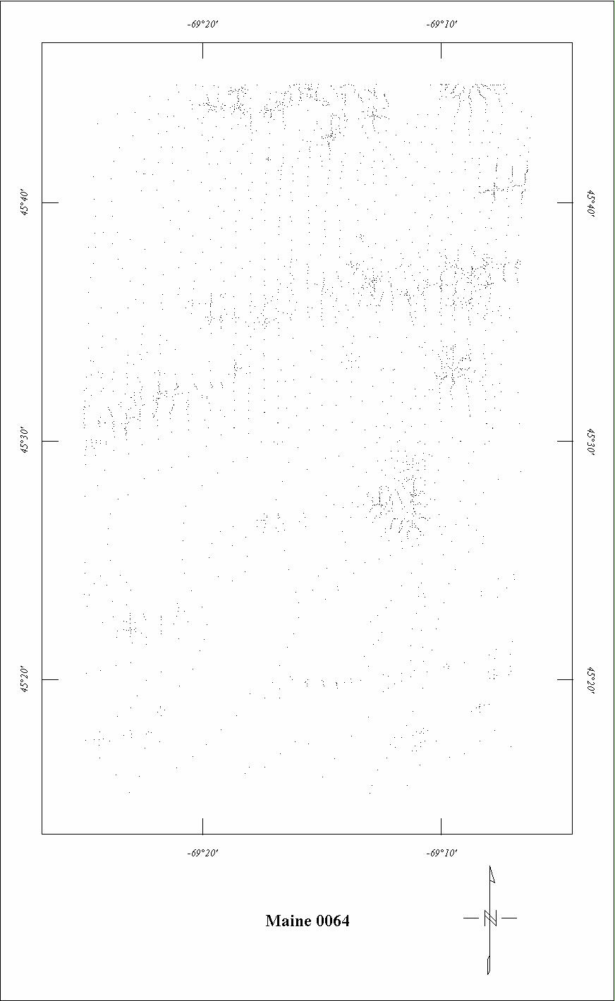
| 0064 | Katahdin (Piscataquis) | USGS | 06/1951-07/1951 | 0.5 mi. | N-S | 500 AG |
1277
|
Tot.field, arb.datum | GP-116 |
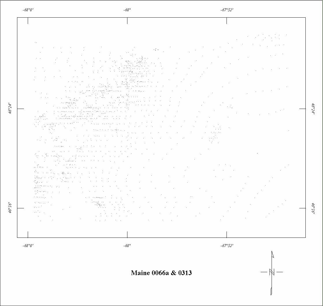
| 0066A | Aroostook North '501 | USGS | ?/1950 | 0.25 mi. | E-W | 500 AG |
1467
|
Tot.field, arb.datum | GP-290,291 |
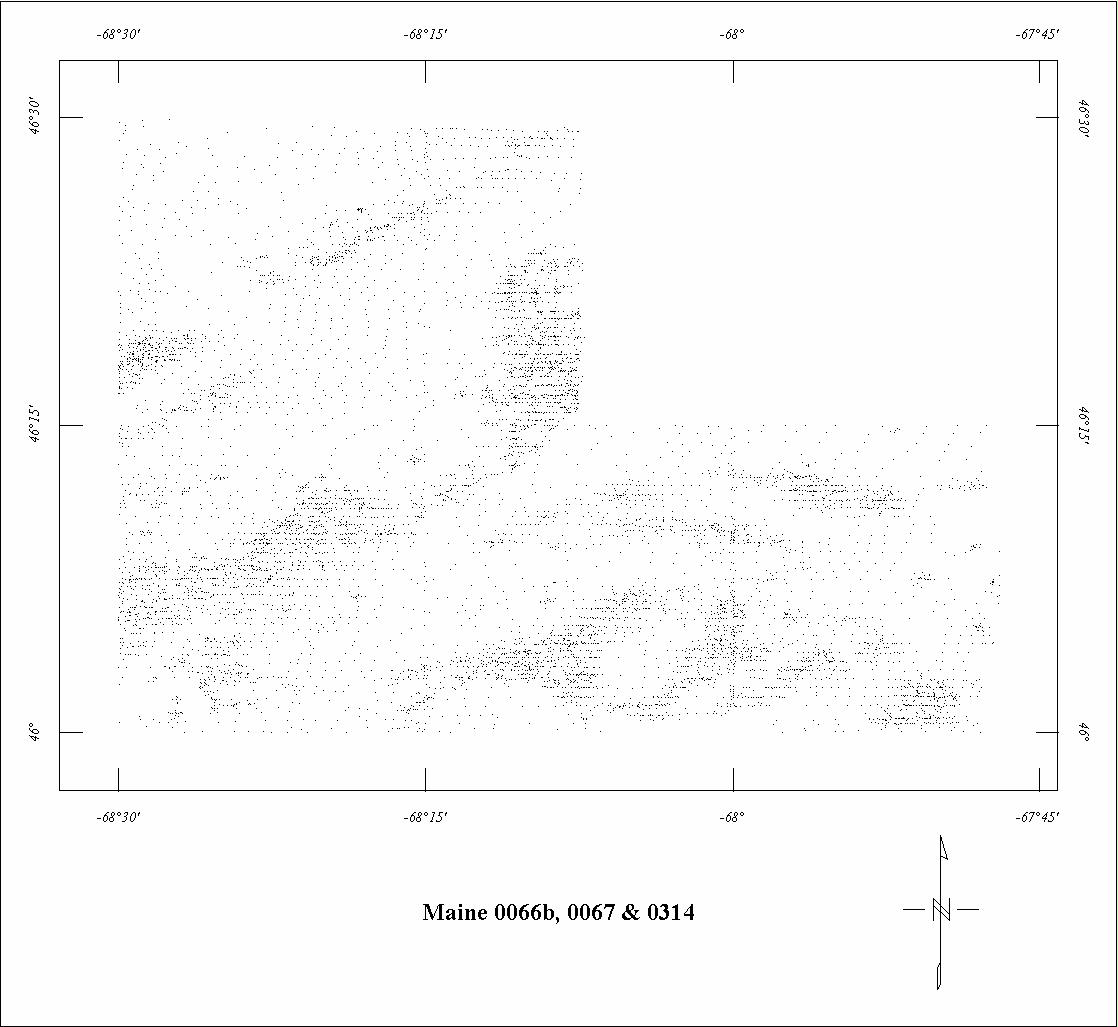
| 0066B | Aroostook South '502 | USGS | ?/1950 | 0.25 mi. | E-W | 500 AG |
304
|
Tot.field, arb.datum | GP-294,295 |
| 0067 | Aroostook '51 | USGS | ?/1951 | 0.25 mi. | E-W | 500 AG |
2970
|
Tot.field, arb.datum | GP-289,290,293-295 |
| 0068 | Devonian Belt3 | USGS | 08/1954-09/1954 | 0.25-1 mi. | E-W | 500 AG |
3975
|
Tot.field, arb.datum | GP-371-377 |
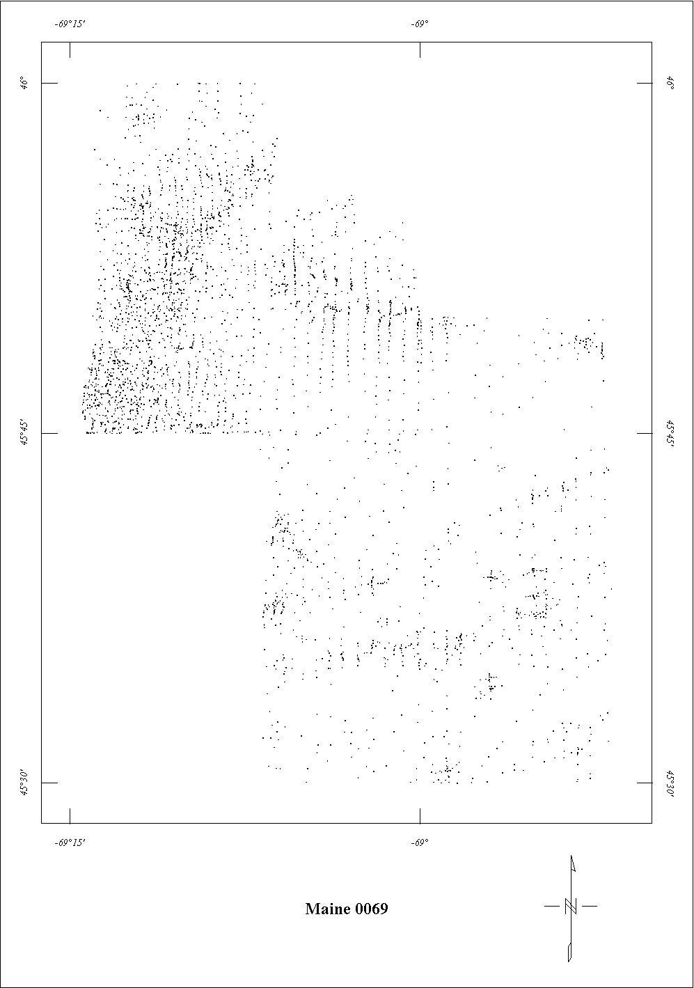
| 0069 | Katahdin '52 | USGS | 07/1952-08/1952 | 0.5 mi. | N-S | 500 AG |
1344
|
Tot.field, arb.datum | GP-154,155 |
| 0213 | Berwick '554 | USGS | 09/1955 | 0.5 mi. | E-W | 750 AG |
800
|
Tot.field, arb.datum | GP-136,137 |
| 0214 | New Hampshire Coop North | USGS | 09/1955 | 0.5 mi. | N-S | 750-2500 AG |
1100
|
Tot.field, arb.datum | GP-138,139 |
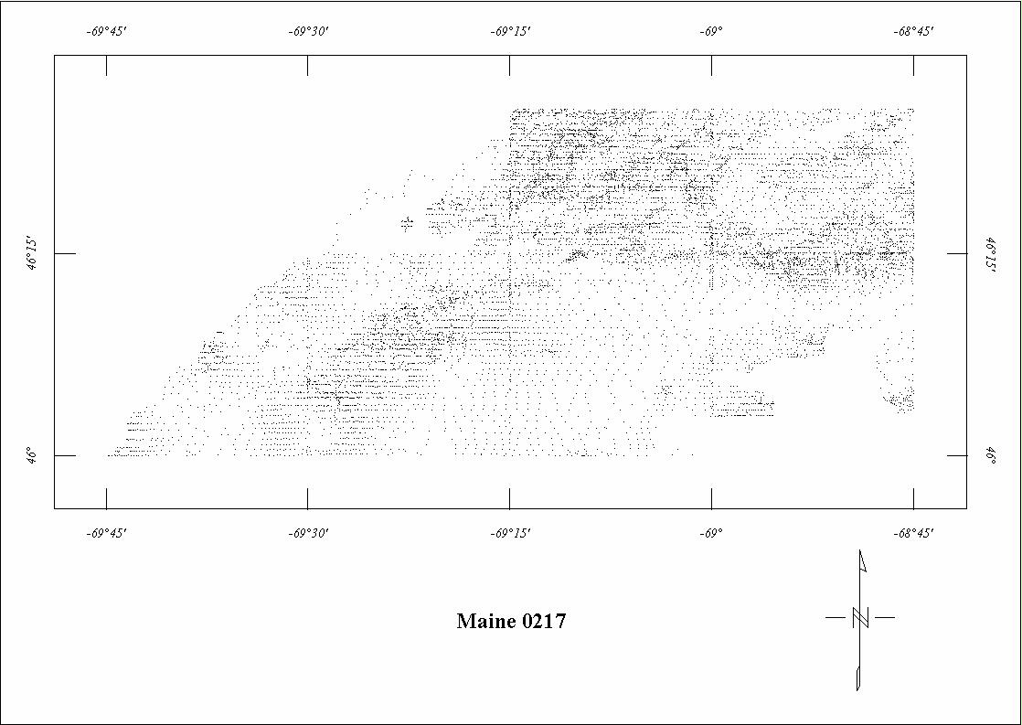
| 0217 | Chamberlain | USGS | 09/1955 | 0.5 mi. | E-W | 500 AG |
2200
|
Tot.field, arb.datum | GP-375-381 |
| 0247 | Danforth '56 | USGS | 07/1956 | 0.5 mi. | N-S | 500 AG |
550
|
Tot.field, arb.datum | GP-423,487 |
| 0249 | Oxbow '565 | USGS | 07/1956 | 0.25 mi. | E-W | 500 AG |
190
|
Tot.field, arb.datum | GP-288,289 |
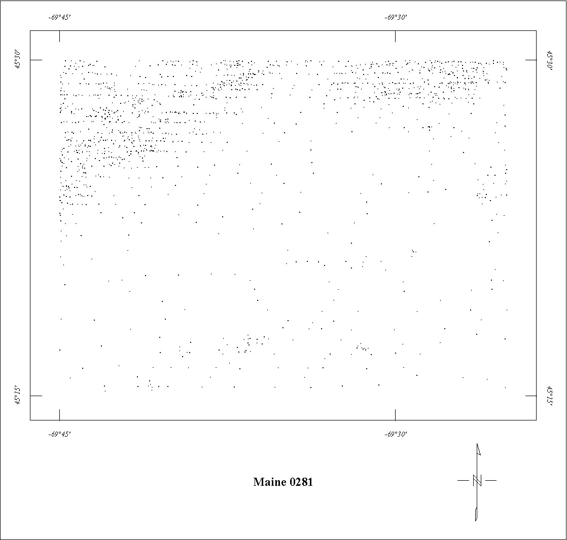
| 0281 | Greenville | USGS | 08/1957 | 0.5 mi. | E-W | 500 AG |
1170
|
Tot.field, arb.datum | GP-335 |
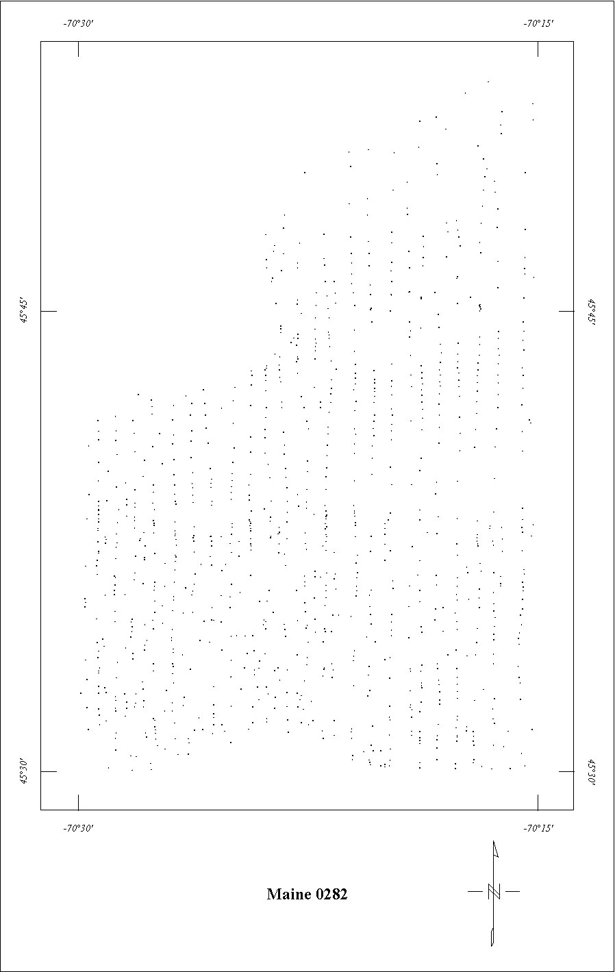
| 0282 | Attean | USGS | 08/1957-09/1957 | 0.25 mi. | N-S | 500 AG |
1150
|
Tot.field, arb.datum | GP-310 |
| 0283 | Oxbow '576 | USGS | 08/1957-09/1957 | 0.25 mi. | E-W | 500 AG |
2800
|
Tot.field, arb.datum | GP-288,292,381 |
| 0284 | Danforth '577 | USGS | 08/1957 | 0.5 mi. | N-S | 500 AG |
1650
|
Tot.field, arb.datum | GP-423 |
| 0312 | Staceyville-Katahdin | USGS | 08/1958-09/1958 | 0.25 mi. | N-S | 500 AG |
1000
|
Tot.field, arb.datum | GP-336 |
| 0313 | Bridgewater East8 | USGS | 08/1958-09/1958 | 0.5 mi. | N-S | 500 AG |
190
|
Tot.field, arb.datum | GP-291 |
| 0314 | Smyra Mills East2 | USGS | 08/1958-09/1958 | 0.5 mi. | E-W | 500 AG |
105
|
Tot.field, arb.datum | GP-293,294 |
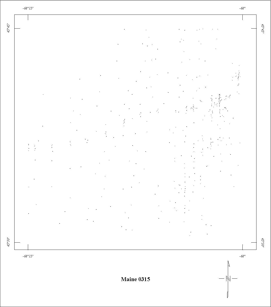
| 0315 | Danforth Anomaly | USGS | 08/1958-09/1958 | 0.5 mi. | N-S | 500 AG |
355
|
Tot.field, arb.datum | GP-423 |
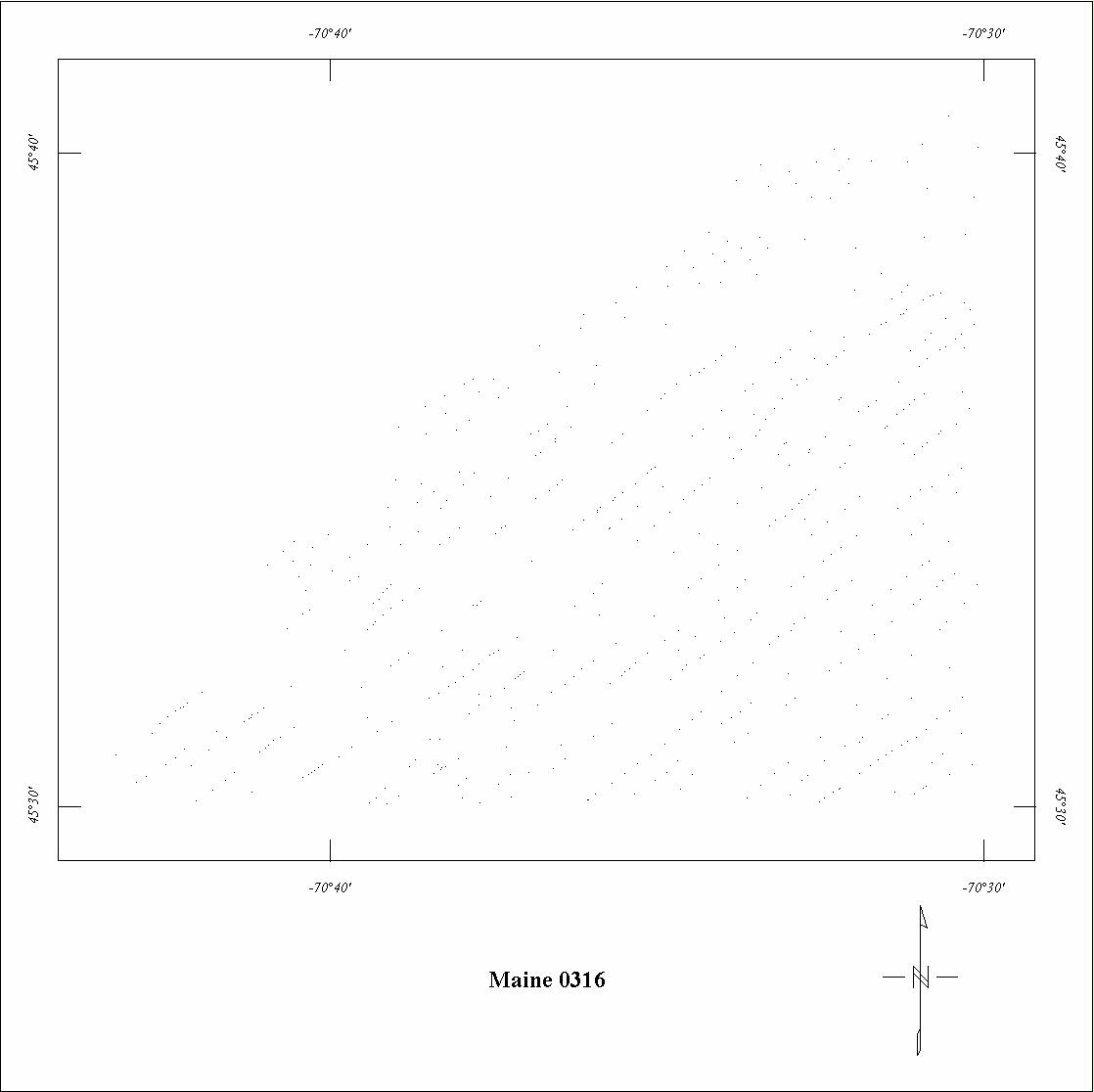
| 0316 | Skinner | USGS | 09/1958 | 0.25 mi. | NE-SW | 750 AG |
280
|
Tot.field, arb.datum | GP-310 |
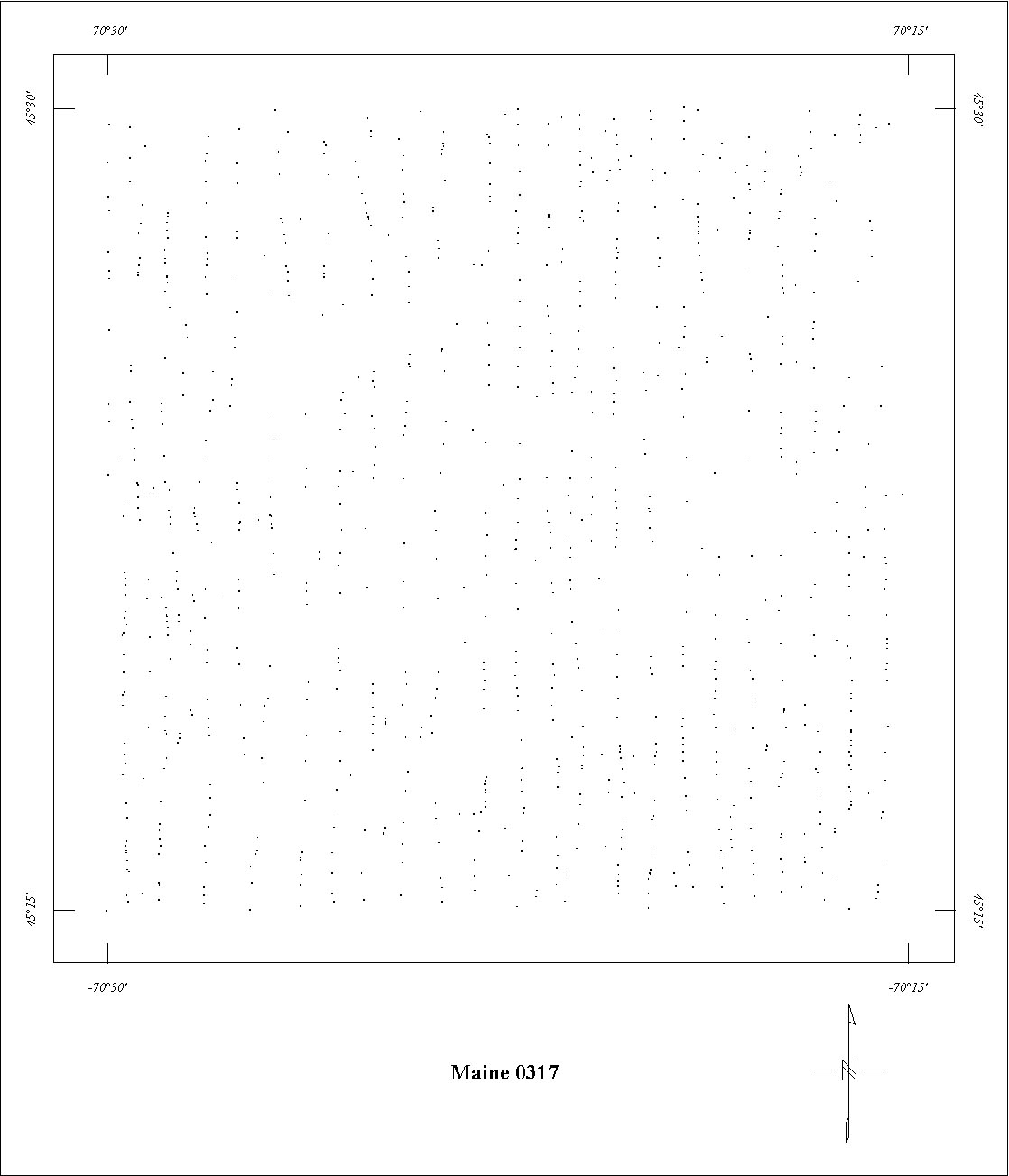
| 0317 | Spencer | USGS | 09/1958 | 0.25 mi. | N-S | 750 AG |
850
|
Tot.field, arb.datum | GP-331 |
| 0318 | Stratton | USGS | 09/1958 | 0.25 mi. | E-W | 750 AG |
850
|
Tot.field, arb.datum | GP-333 |
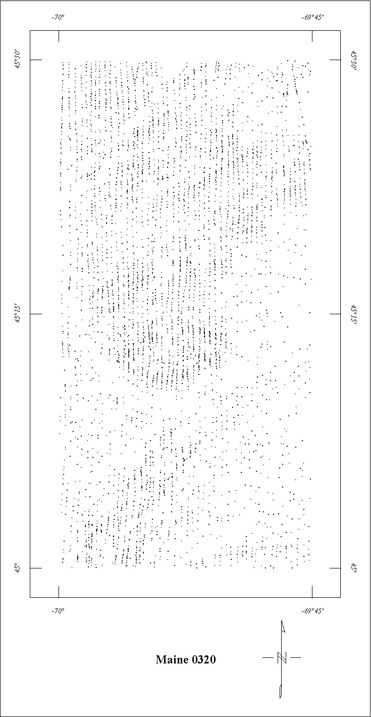
| 0320 | Bingham-The Forks | USGS | 09/1958 | 0.25 mi. | N-S | 750 AG |
1660
|
Tot.field, arb.datum | GP-485,499 |
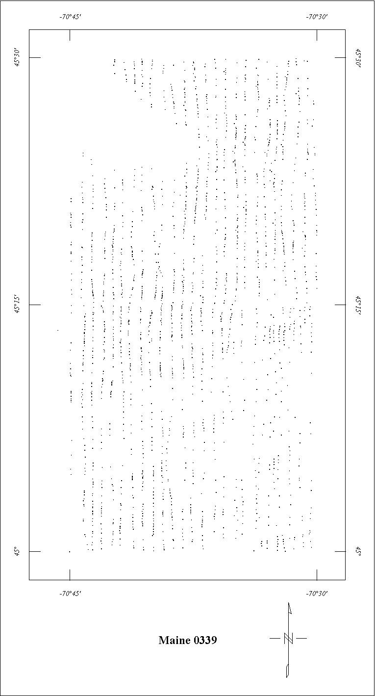
| 0339 | Kennebago-Chain Lakes | USGS | 09/1959 | 0.5 mi. | N-S | 3500 B |
1140
|
Tot.field, arb.datum | GP-330,332 |
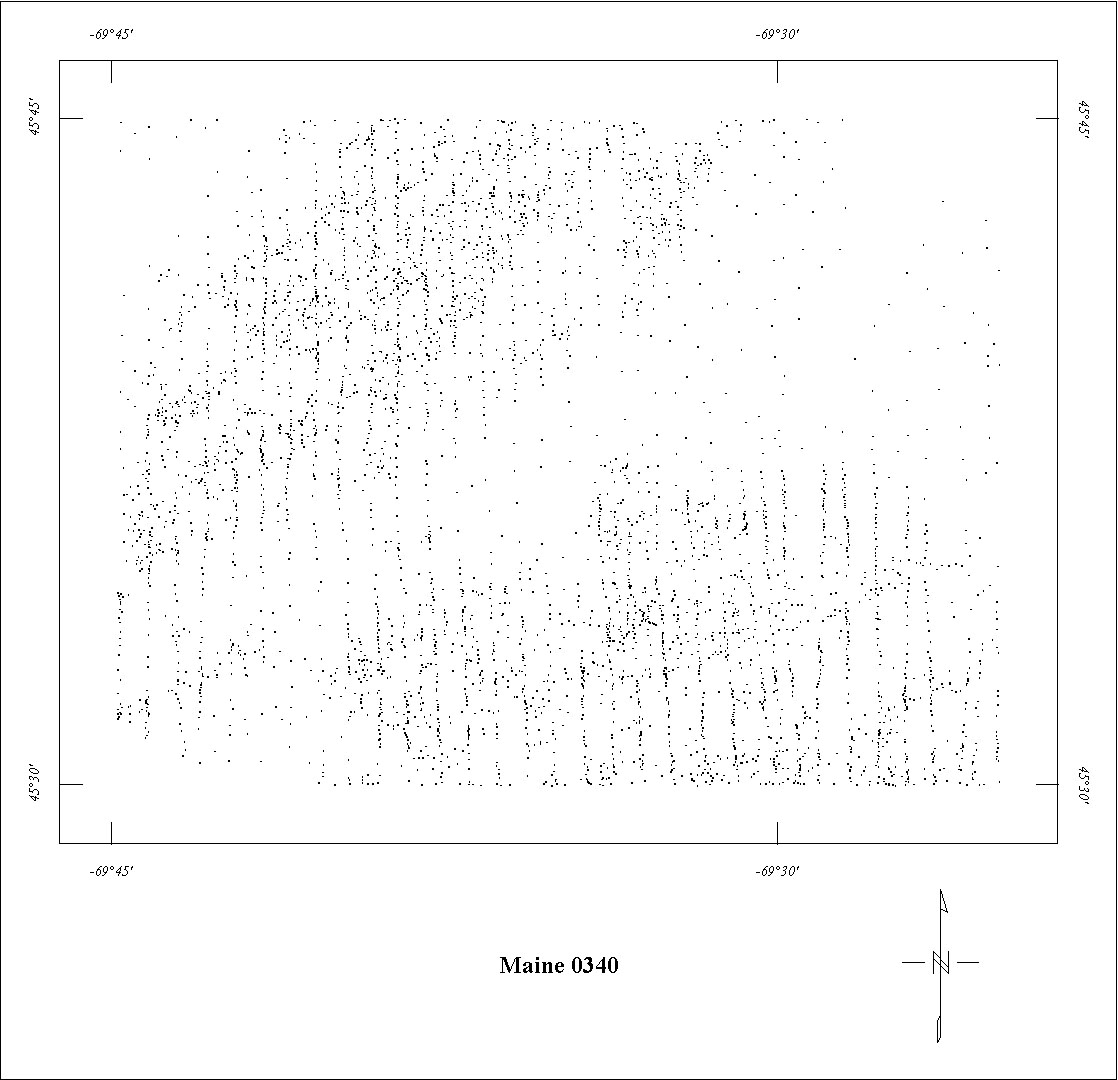
| 0340 | Moosehead Lake | USGS | 09/1959-10/1959 | 0.25 mi. | N-S | 500 AG |
1015
|
Tot.field, arb.datum | GP-334 |
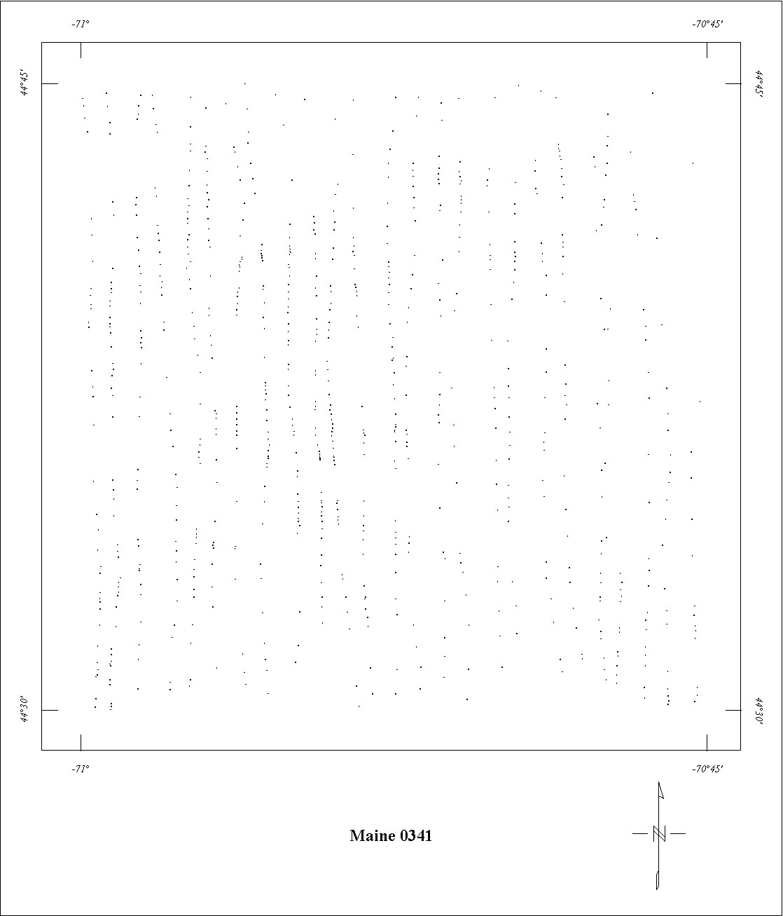
| 0341 | Old Speck Mountain | USGS | 09/1959-10/1959 | 0.5 mi. | N-S | 3500 B |
500
|
Tot.field, arb.datum | GP-486 |
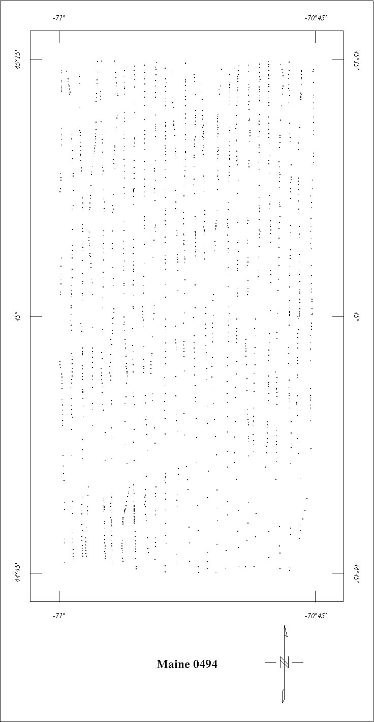
| 0494 | Oquossoc | USGS | 08/1962 | 0.5 mi. | N-S | 3500 B |
860
|
Tot.field, arb.datum | GP-477,478 |
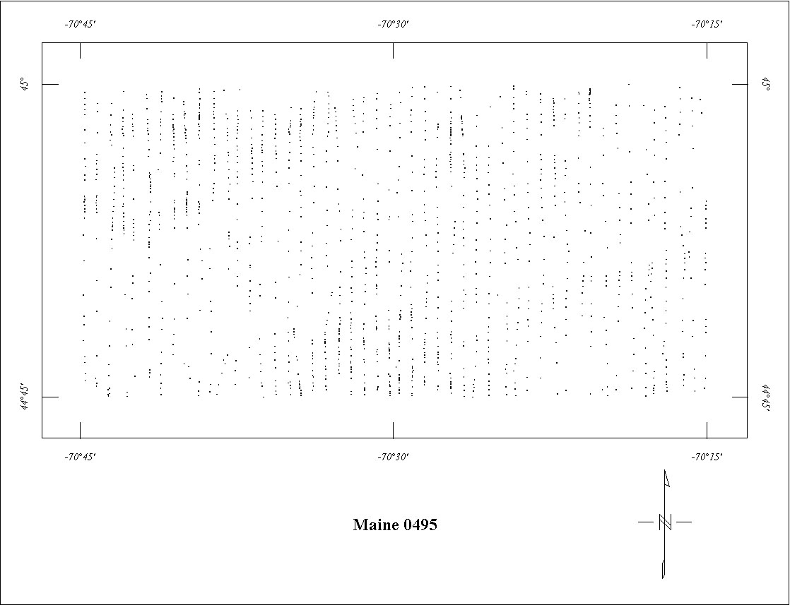
| 0495 | Saddleback | USGS | 08/1962 | 0.5 mi. | N-S | 3500 B |
860
|
Tot.field, arb.datum | GP-479,480 |
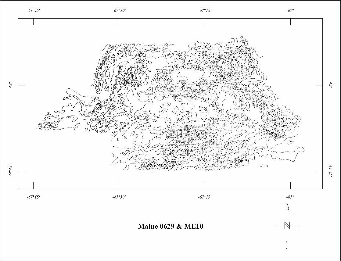
| 0629 | Eastport-Calais | USGS | 11/1967 | 0.5 mi. | E-W | 400 AG |
1235
|
IGRF65 | 72-459 |
| 0638 | North-central N.H. '68 | USGS | 05/1968 | 0.5 mi. | E-W | 5000 B |
1555
|
Tot.field, arb.datum | GP-891 |
| ME01 | Western Maine9 | Aero | 05/1948 | 2 mi. | NW-SE | 1000 AG |
1200
|
Tot.field, arb.datum | GSA v.61 |
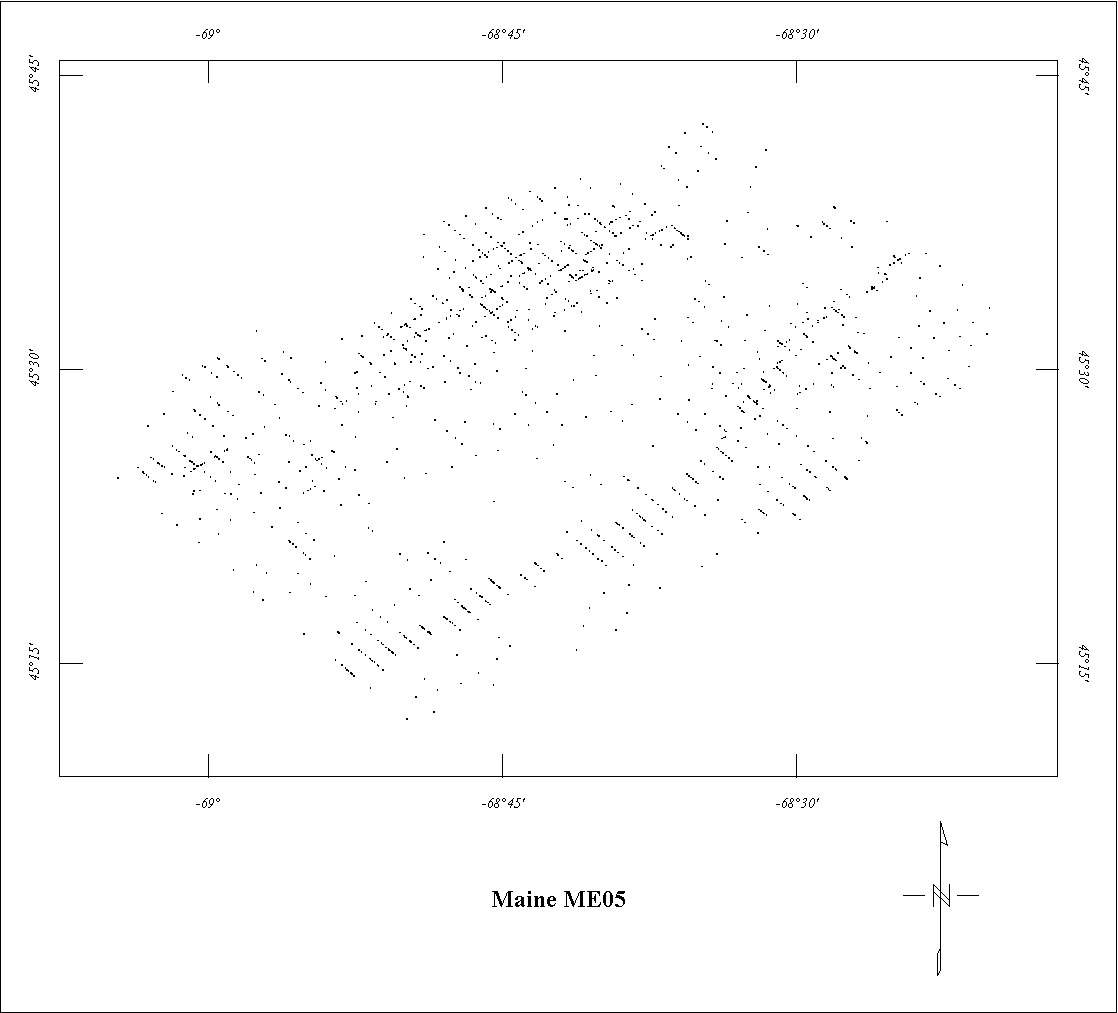
| ME05 | Central Maine | Sewall | 05/1959-07/1959 | 0.5 mi. | NW-SE | 500 AG |
1570
|
Tot.field, arb.datum | ME GP&G-4 |
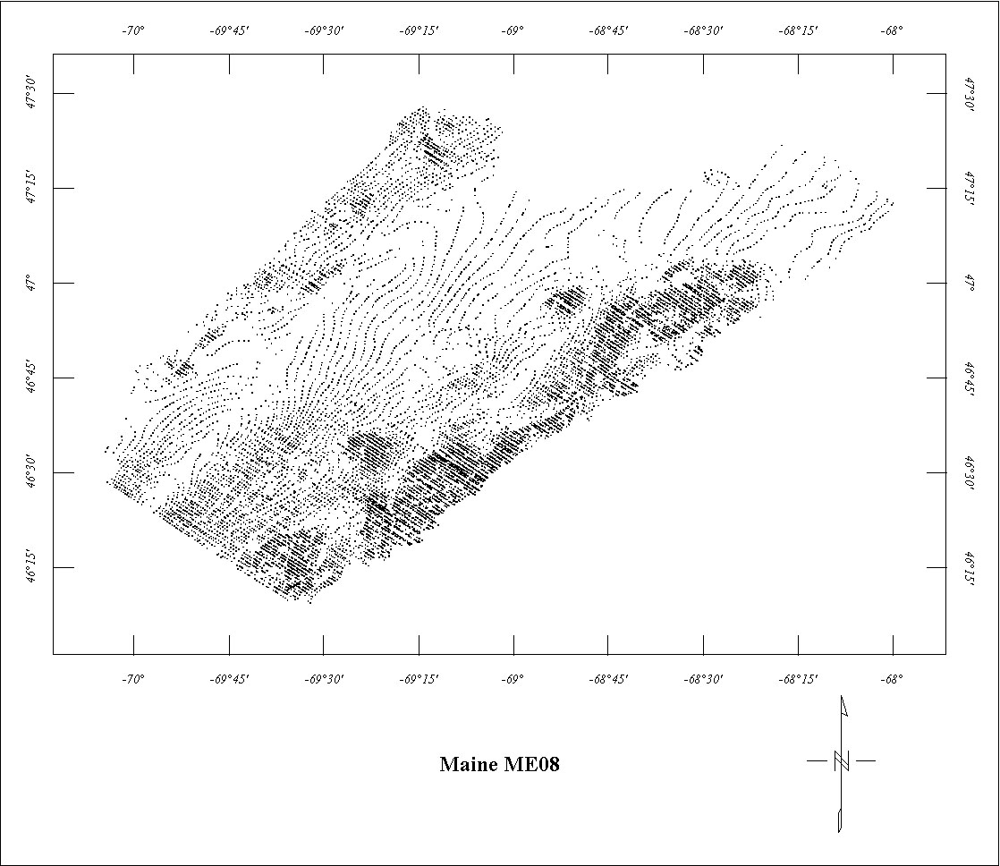
| ME08 | Northwest Maine | ? | ?/1966 | 0.5 mi. | NW-SE | 1000 AG |
8100
|
? | 93-573 |
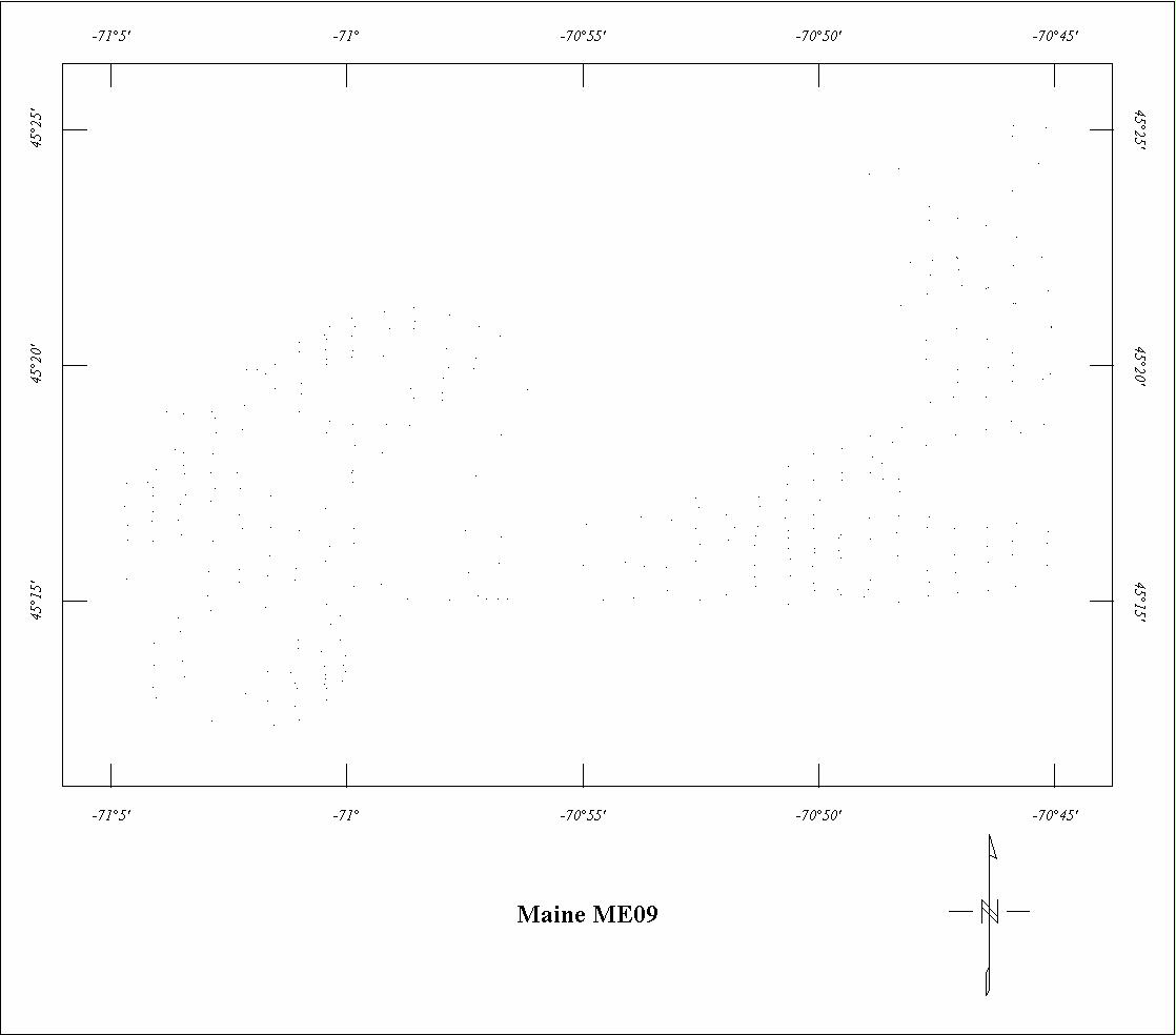
| ME09 | Arnold Pond Area | ? | ? | ? | N-S | ? |
?
|
? | GP-312 |
| ME10 | Forest City-Meddybemps10 | ? | 1953? | 0.5 mi. | E-W | 500 AG |
500
|
IGRF65 | 72-459 |
| ME11 | East Gulf of Maine | ? | ? | ? | ? | ? |
?
|
? | unpub. |
| NH01 | Central New Hampshire | Aero | 06/1976-10/1976 | 0.5 mi. | N-S | 3000 B |
3189
|
IGRF? | BE-SG7602 |
| NH02 | Southern New Hampshire | Aero | 06/1976-10/1976 | 0.5 mi. | E-W | 3000 B |
6869
|
IGRF? | BE-SG7602NJ01 |
1 Project 0066A is incomplete. The area north of 46°30' has not been digitized.
2 See Project 0067. Projects 0066B and 0314 are fully merged with Project 0067.
3 Project 0068 is incomplete. The area north of 46°45' has not been digitized.
4 Project 0213 is incomplete. Only the eastern half has been digitized.
5 See Project 0283. Project 0249 is fully merged with 0283.
6 Small parts of Project 0283 are fully merged with Project 0067.
7 See Project 0247. Project 0284 is fully merged with 0247.
8 See Project 0066A. Project 0313 is fully merged with Project 0066A.
9 Project ME01 is incomplete. The SE corner is superceded by Project 340.
10 See Project 0629. Project ME10 is fully merged with 0629.
Click on the individual survey numbers that are of interest to download ASCII XYZ file to your hard drive or click on the name to view a point plot.
Description of Table
*For more complete references see: Hill, P.L., 1991, Bibliographies and location maps of publications on aeromagnetic and aeroradiometric surveys for the states east of the Mississippi River north of the Ohio and Potomac rivers, U.S. Geological Survey Open-File Report 91-0370-C, 104 p.
Further information about aeromagnetic data from the state of Kentucky can be
obtained by contacting Pat Hill, (303) 236-1343, email (pathill@usgs.gov), or Bob Kucks, (303) 236-1405, email (rkucks@usgs.gov), or click the button below.
|
and Merged Aeromagnetic Data for Maine |
Data Format and Digitizing Technique |
Aeromagnetics Home Page |
This report is preliminary and has not been reviewed for conformity with U.S.
Geological Survey editorial Standards. Use of brand names is for descriptive
purposes and does not constitute endorsement by the U.S. Geological Survey.
Last modified 9/14/1999.
| AccessibilityFOIAPrivacyPolicies and Notices | |
| |
|