 |
|
|
||||
| OFR 99–0557: Missouri Digitized Aeromagnetic Projects |
| About USGS / Science Topics / Maps, Products & Publications / Education / FAQ |
|
|
|
|
|
|
|
|
|
|
|
| 0082A | Southeast Missouri '481 | USGS | 11/1946-?/1948 | 0.25 mi. | N-S | 1800 B |
9165
|
Tot.field, arb.datum | no number GP's |
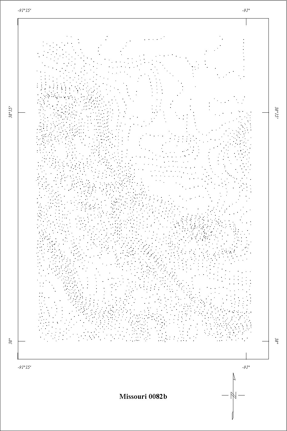
| 0082B | S.E. Missouri West '501 | USGS | 05/1950 | 0.25 mi. | N-S | 1800 B |
1600
|
Tot.field, arb.datum | GP-77,78 |
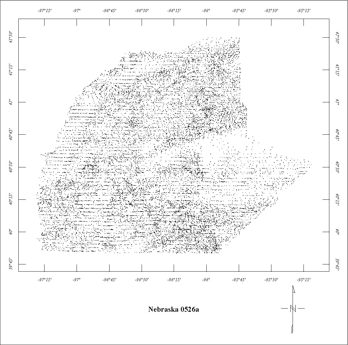
| 0526A | Nebraska South '63 | USGS | 11/1963 | 2 mi. | E-W | 1000 AG |
3445
|
Tot.field, arb.datum | 73-297 |
| 1021 | New Madrid '73 | USGS | 05/1973-06/1973 | 1 mi. | E-W | 1000 B |
5518
|
Tot.field, arb.datum | 74-360 |
| 3124 | Rolla2 | Applied | 06/1978-07/1978 | 0.5 mi. | N-S | 1800 B |
6350
|
IGRF75 | 79-966 |
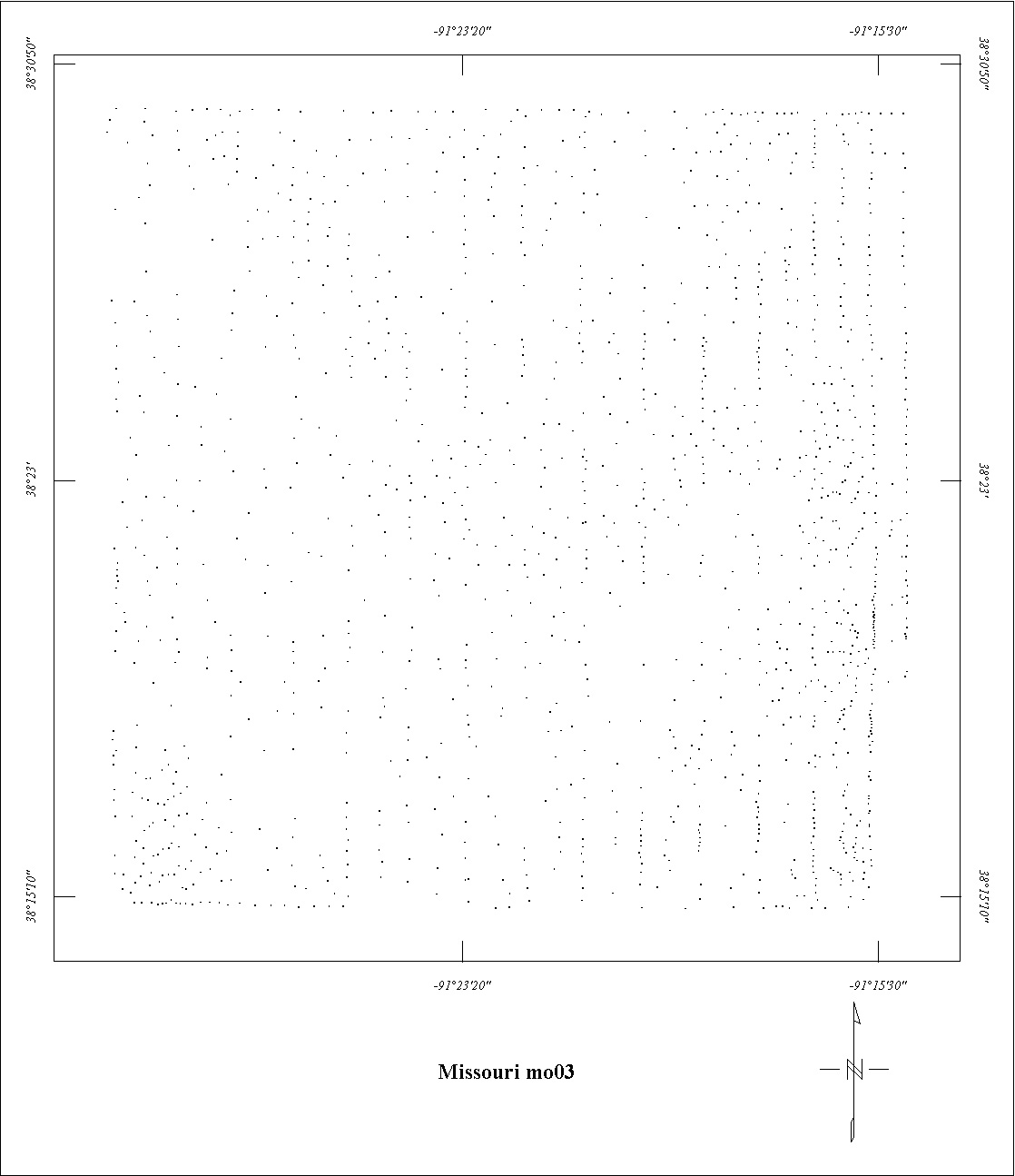
| MO03 | Gerald Quadrangle | Aero | ?/1957 | 0.25 mi. | N-S | 500 AG |
1000
|
? | MO Map |
| MO05 | Linn-Augusta Area | Fairch. | 05/1960-07/1960 | 0.25 mi. | N-S | 1500 B |
11000
|
? | MO Maps |
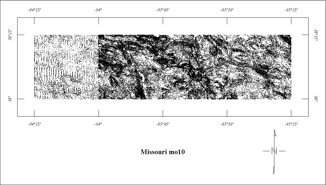
| MO10 | Clinton Area | Fairch. | 07/1963 | 0.5 mi. | N-S | 1500 B |
1900
|
? | MO Maps |
| MO11 | Bloomfield Area3 | Fairch. | 07/1963 | 0.5 mi. | N-S | 1000 B |
1450
|
? | MO Maps |
| MO12 | Iberia Area4 | Aero | 06/1965 | 0.5 mi. | N-S | 1500 B |
3100
|
? | MO Maps |
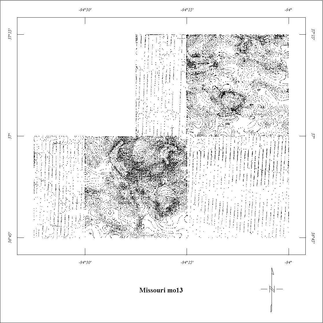
| MO13 | Southwest Area | Scintrex | 07/1968 | 0.5 mi. | N-S | 2000 B |
1900
|
? | MO Maps |
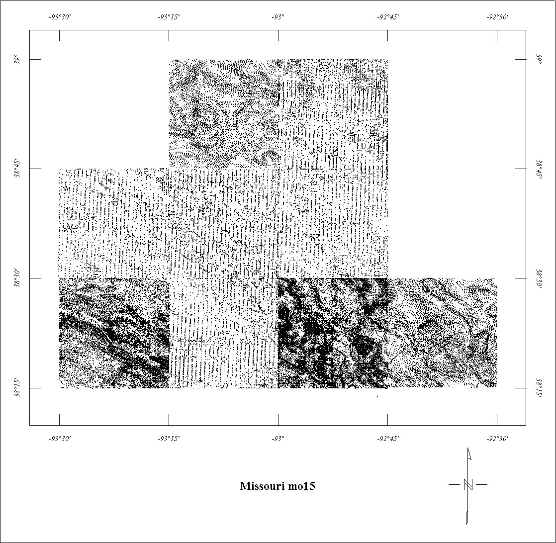
| MO15 | Smithton Area | Scintrex | 06/1969 | 0.5 mi. | N-S | 1500 B |
4250
|
? | MO Maps |
| MO16 | Glasgow Area | Scintrex | 06/1970 | 0.5 mi. | N-S | 1500 B |
3800
|
? | MO Maps |
| MO17 | Southeastern Missouri '77 | TVA | 07/1977 | 1 mi. | E-W | 1000 AG |
3000
|
IGRF65 | CR-1662 |
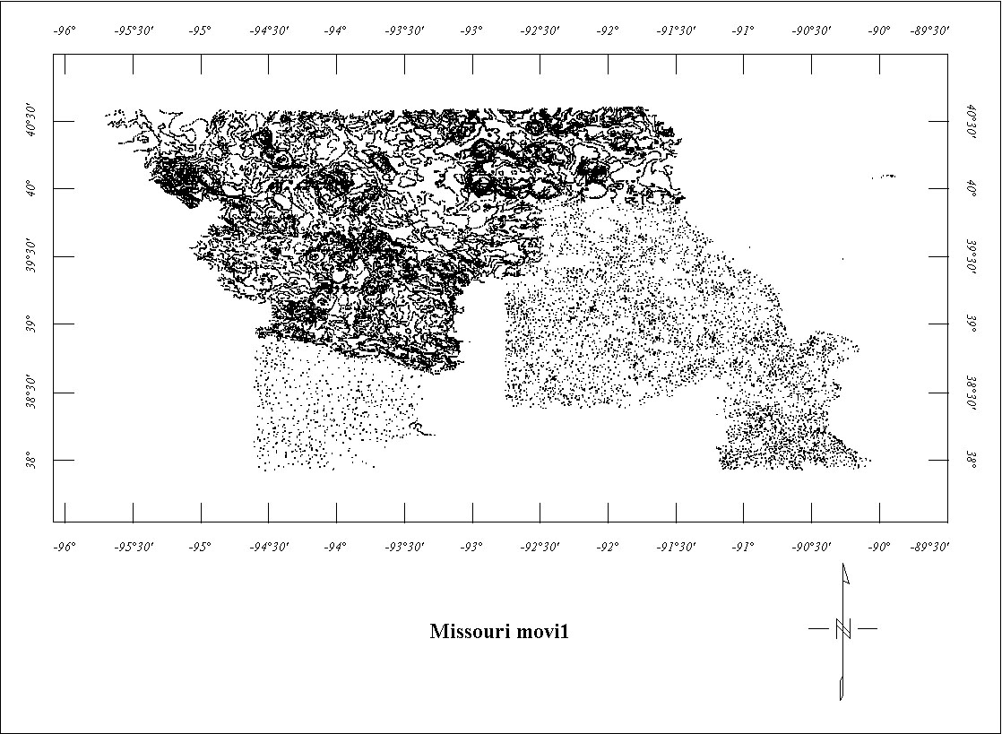
| MOVI1 | North Missouri Ground Mag5 | ? | <1943 | 1-2 mi. | var. | Ground |
?
|
? | MO Map 1943 |
| MOVI2 | Joplin Area Ground Mag5 | ? | <1943 | 1-2 mi. | var. | Ground |
?
|
? | MO Map 1943 |
| MOVI3 | South Missouri Ground Mag5 | ? | <1943 | 1-2 mi. | var. | Ground |
?
|
? | MO Map 1943 |
1 Projects 0082A and 0082B as shown on the index map are part of a larger survey
area which is in grid form only.
2 Project 3124 as shown on the index map is the northernmost piece of a larger
digital data set.
3 For Project MO11 only the data south of 37° was digitized. See Project 1021. Project MO11 is fully merged with Project 1021.
4 Data for MO12 south of 38° is merged into a larger gridded data set.
5 MOVI1, MOVI2, and MOVI3 are digitzed areas of vertical intensity ground magnetic
data.
Click on the individual survey numbers that are of interest to download ASCII XYZ file to your hard drive or click on the name to view a point plot.
Description of Table
*For more complete references see: Hill, P.L., 1991, Bibliographies and location maps of publications on aeromagnetic and aeroradiometric surveys for the states west of the Mississippi River and east of approximately 104° longitude, U.S. Geological Survey Open-File Report 91-0370-B, 71 p.
Further information about aeromagnetic data from the state of Kentucky can be
obtained by contacting Pat Hill, (303) 236-1343, email (pathill@usgs.gov), or Bob Kucks, (303) 236-1405, email (rkucks@usgs.gov), or click the button below.
|
and Merged Aeromagnetic Data for Missouri |
Data Format and Digitizing Technique |
Aeromagnetics Home Page |
This report is preliminary and has not been reviewed for conformity with U.S.
Geological Survey editorial Standards. Use of brand names is for descriptive
purposes and does not constitute endorsement by the U.S. Geological Survey.
Last modified 9/14/1999.
| AccessibilityFOIAPrivacyPolicies and Notices | |
| |
|