 |
|
|
||||
| OFR 99–0557: Montana Digitized Aeromagnetic Projects |
| About USGS / Science Topics / Maps, Products & Publications / Education / FAQ |
|
|
|
|
|
|
|
|
|
|
|
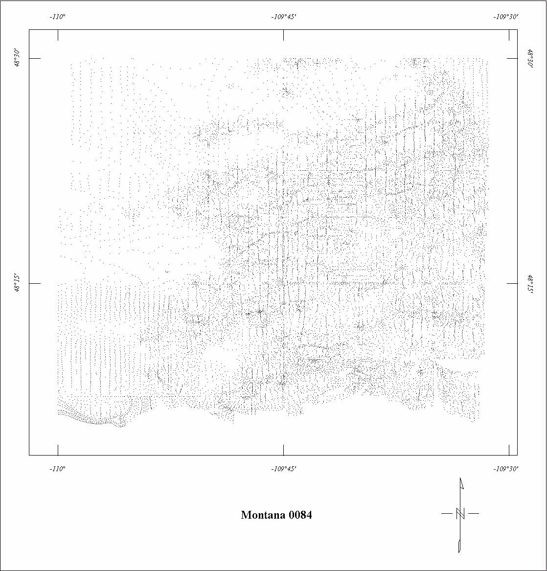
| 0084 | Bearpaw Mountains | USGS | 07/1950 | 0.5 mi. | var. | 1000 AG |
3273
|
Tot.field, arb.datum | GP-150-153 |
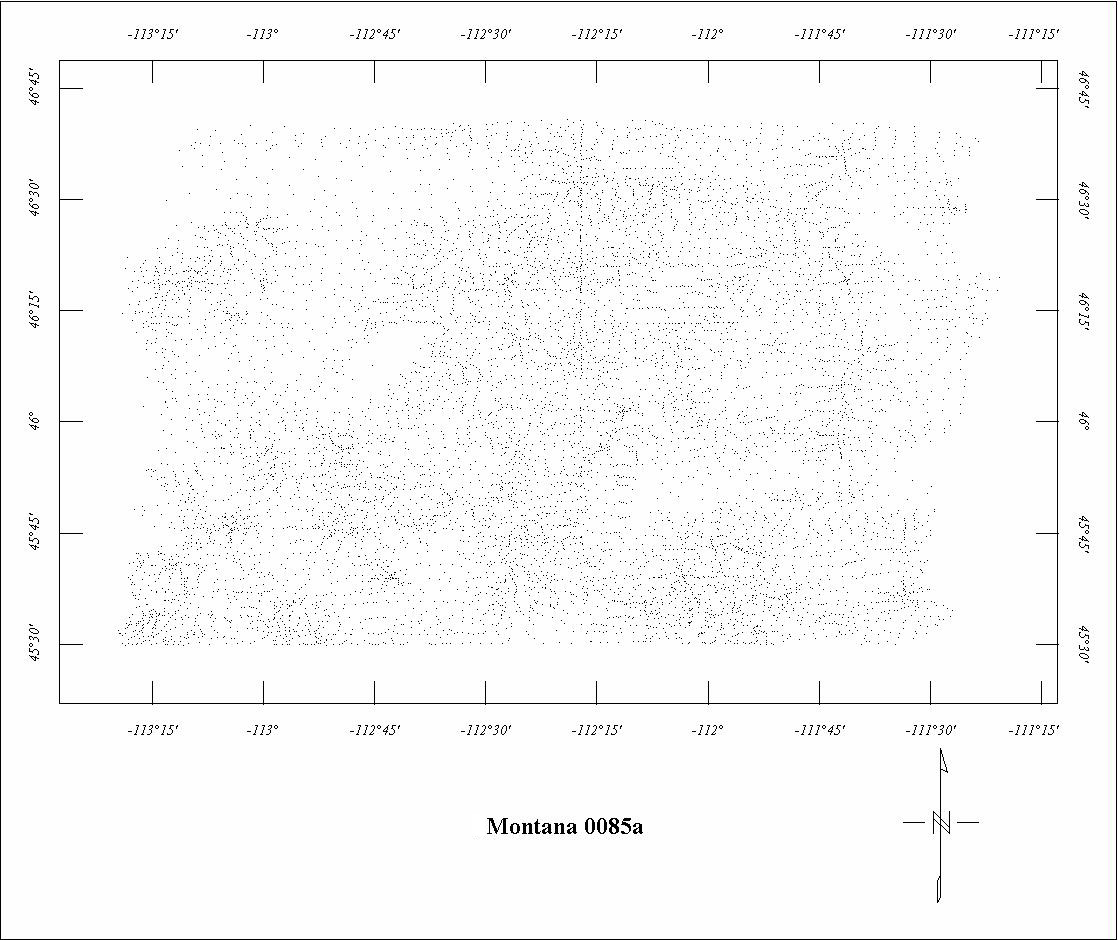
| 0085A | Boulder Batholith | USGS | 08/1953-11/1953 | 2 mi. | E-W | 10,500 B |
3090
|
Tot.field, arb.datum | GP-538 |
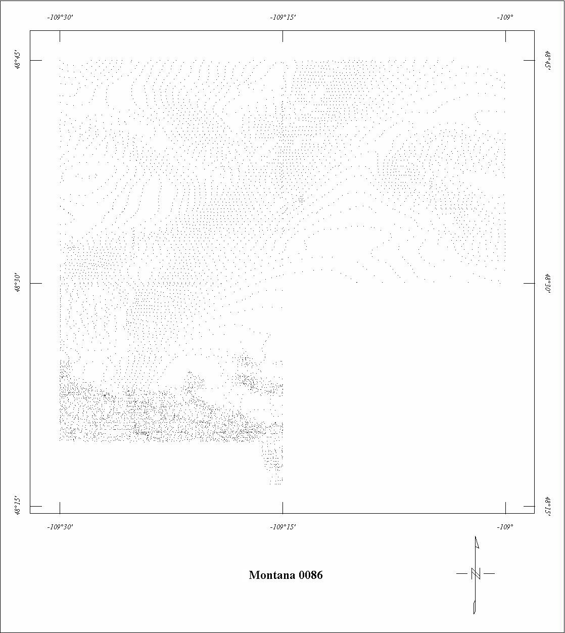
| 0086 | North Bearpaw1 | USGS | 10/1954 | 0.25 mi. | E-W | 500 AG |
2900
|
Tot.field, arb.datum | GP-382-385 |
| 0207 | Bozeman | USGS | 08/1955 | 0.5 mi. | E-W | 500 AG |
2100
|
Tot.field, arb.datum | GP-497,498 |
| 0210 | Townsend Valley | USGS | 08/1955 | 0.5 mi. | E-W | 500 AG |
2525
|
Tot.field, arb.datum | GP's |
| 0338B | Pend Orielle North-central | USGS | 08/1959 | 1 mi. | E-W | 6000 B |
120
|
Tot.field, arb.datum | P-646D |
| 0338C | Pend Oreille Central2 | USGS | 08/1959 | 0.5 mi. | E-W | 6000 B |
595
|
Tot.field, arb.datum | P-646D |
| 0508 | Yellowstone '62 | USGS | 10/1962 | 1 mi. | E-W | 12,000 B |
1995
|
Tot.field, arb.datum | 73-304 |
| 0556 | Northwest Montana '65 | USGS | 10/1965 | 2 mi. | NE-SW | 9000 B |
4100
|
Tot.field, arb.datum | P-726A |
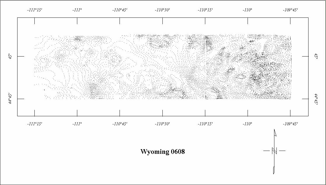
| 0608 | Northern Yellowstone '67 | USGS | 06/1967 | 1 mi. | E-W | 12,000 B |
2010
|
Tot.field, arb.datum | 73-304 |
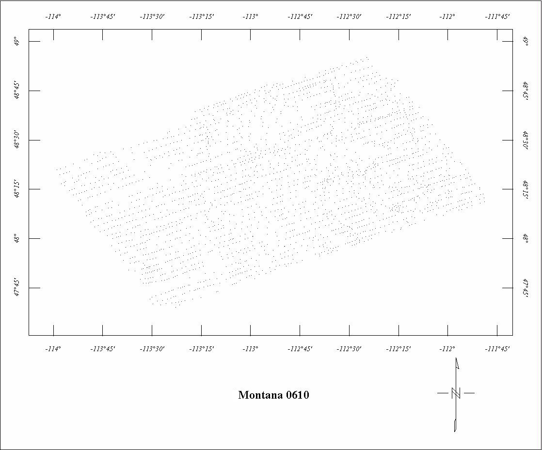
| 0610 | Northwest Montana '67 | USGS | 07/1967 | 2 mi. | NE-SW | 9000 B |
2700
|
Tot.field, arb.datum | 69-289 |
| 0628 | Mission Range | USGS | 10/1967 | 1 mi. | E-W | 9000 B |
1650
|
Tot.field, arb.datum | P-726A |
| 0652 | Mission Range Fill-in3 | USGS | 09/1968 | 1 mi. | E-W | 9000 B |
195
|
Tot.field, arb.datum | P-726A |
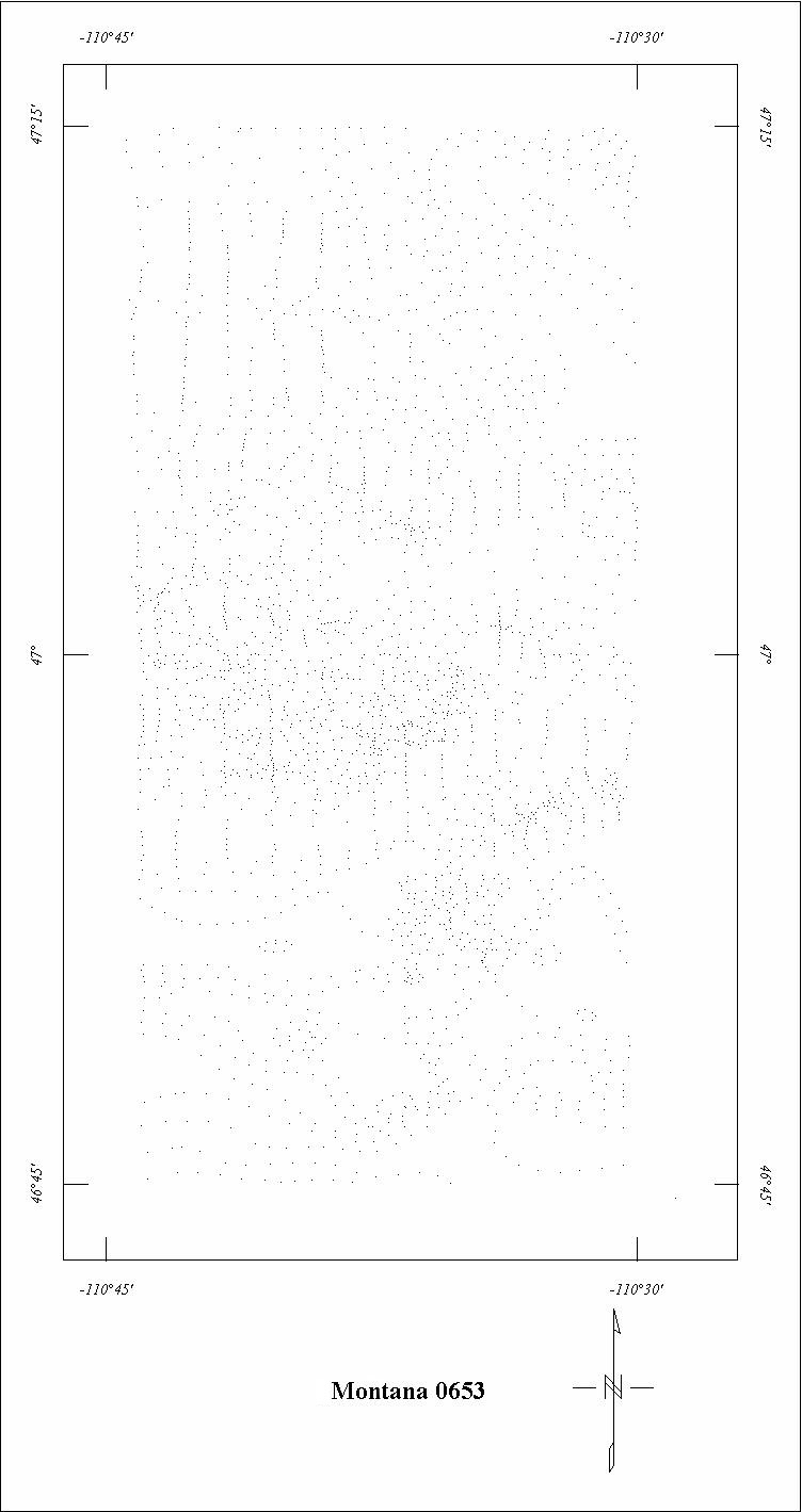
| 0653 | Little Belt Mountains | USGS | 09/1968 | 1 mi. | N-S | 9000 B |
448
|
Tot.field, arb.datum | GP-837 |
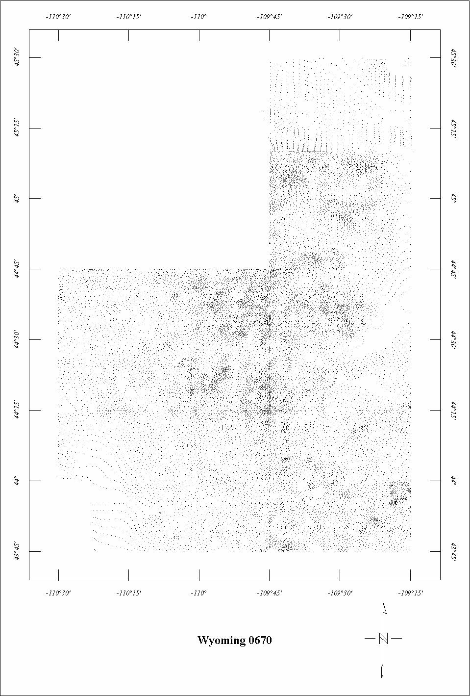
| 0670 | Yellowstone Regional | USGS | 07/1969-09/1969 | 1 mi. | N-S | 13,500 B |
2979
|
Tot.field, arb.datum | 73-304 |
| 0671 | Selway-Bitterroot | USGS | 09/1969 | 1 mi. | N-S | 11,000 B |
5715
|
Tot.field, arb.datum | GP-832,835,841 |
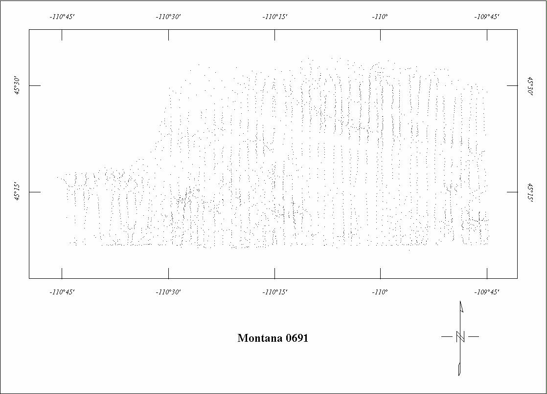
| 0691 | Beartooth | USGS | 09/1970 | 1 mi. | N-S | 13,500 B |
1087
|
Tot.field, arb.datum | 73-304 |
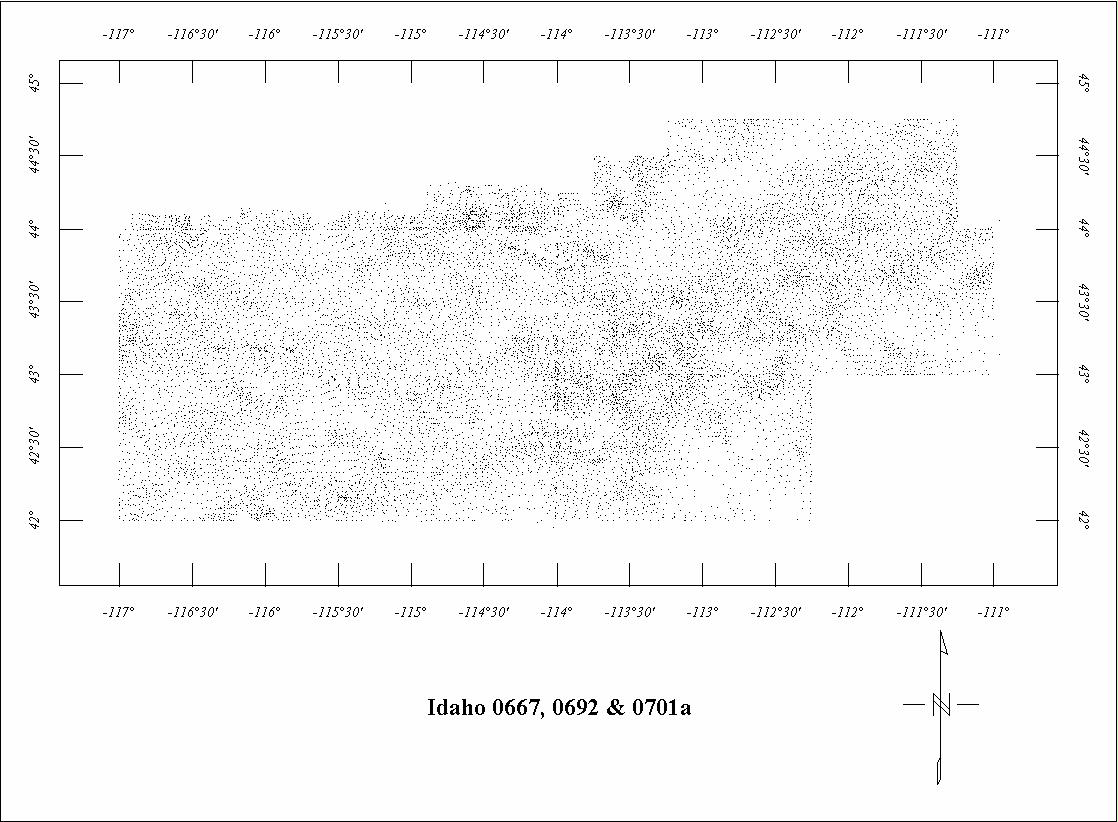
| 0701A | Idaho Regional North | USGS | 10/1970 | 5 mi. | E-W | 12,000 B |
1015
|
IGRF65 | 71-290,72-388 |
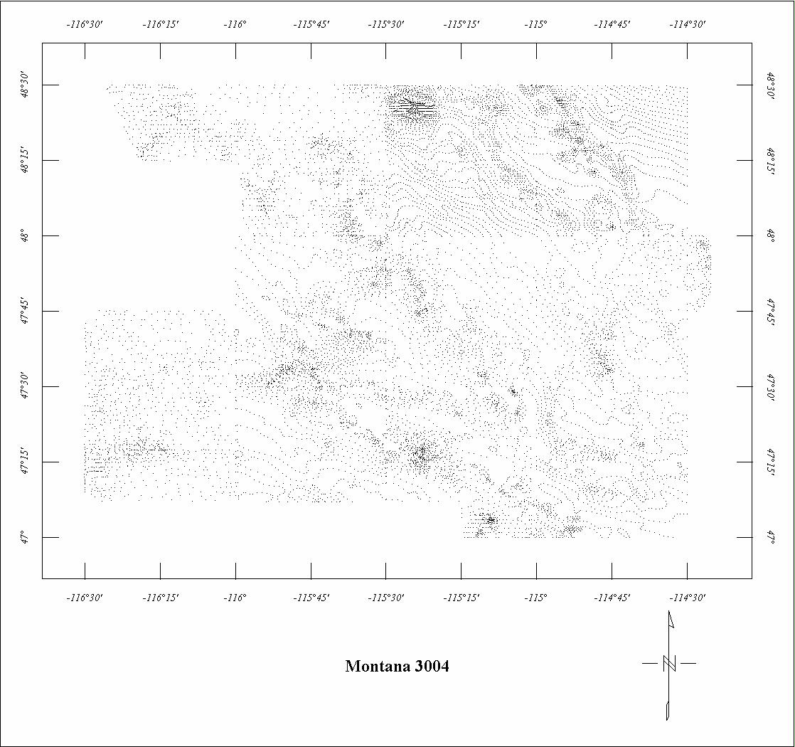
| 3004 | N.E. Idaho-W. Montana | LKB | 08/1968 | 1 mi. | E-W | 7000 B |
9000
|
Tot.field, arb.datum | GP-682-691 |
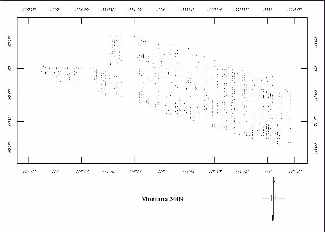
| 3009 | Missoula | MT Univ. | ?/1971 | 1 mi. | N-S | 7500 B |
4200
|
? | GP-934 |
| 3015A | Washington-Idaho-Montana | Scintrex | 07/1972-09/1972 | 2 mi. | E-W | 7000 B |
5245
|
IGRF65 | 73-294, 295 |
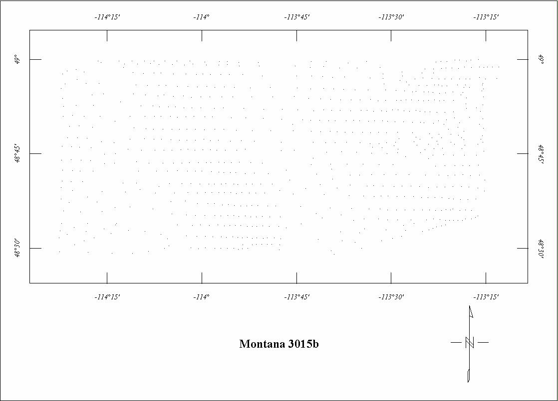
| 3015B | WA-ID-MT - E. Central | Scintrex | 07/1972-09/1972 | 2 mi. | E-W | 11,000 B |
1920
|
IGRF65 | 73-293-295 |
| 3015C | WA-ID-MT - East | Scintrex | 07/1972-09/1972 | 2 mi. | E-W | 7000 B |
930
|
IGRF65 | 73-293-295 |
| 3021B | Idaho-Montana4 | GeoMet. | 06/1972-10/1972 | 2 mi. | E-W | 12,000 B |
5450
|
IGRF65, 56670 | 75-655 |
| 3021D | South-central Montana | GeoMet. | 06/1972-08/1972 | 2 mi. | E-W | 12,000 B |
1140
|
IGRF65, 57860 | 75-656 |
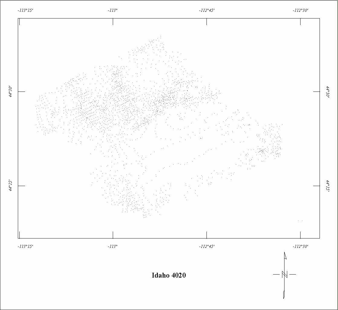
| 4020 | Italian Peak | Geodata | 02/1981-03/1981 | 0.5 mi. | NE-SW | 1000 AG |
1030
|
IGRF75 | 81-1162 |
| 4041 | Northeast Mt.-Western N.D | Airmag | 09/1980 | 3 mi. | E-W | 4000 B |
6955
|
IGRF75, 59059 | 81-434 |
1 Southeast part of Project 0086 was not digitized.
2 See Project 0338B. Project 0338C is fully merged with 0338B.
3 See Project 0628. Project 0652 is fully merged with 0628.
4 Only part of Project 3021B was digitized and the center section has erronious
data.
Click on the individual survey numbers that are of interest to download ASCII XYZ file to your hard drive or click on the name to view a point plot.
Description of Table
*For more complete references see: Hill, P. L., 1991, Bibliographies and location maps of publications on aeromagnetic and aeroradiometric surveys for the states west of approximately 104° longitude (exclusive of Hawaii and Alaska): U.S. Geological Survey Open-File Report 91-0370-A, 172 p.
Further information about aeromagnetic data from the state of Kentucky can be
obtained by contacting Pat Hill, (303) 236-1343, email (pathill@usgs.gov), or Bob Kucks, (303) 236-1405, email (rkucks@usgs.gov), or click the button below.
|
and Merged Aeromagnetic Data for Montana |
Data Format and Digitizing Technique |
Aeromagnetics Home Page |
This report is preliminary and has not been reviewed for conformity with U.S.
Geological Survey editorial Standards. Use of brand names is for descriptive
purposes and does not constitute endorsement by the U.S. Geological Survey.
Last modified 9/14/1999.
| AccessibilityFOIAPrivacyPolicies and Notices | |
| |
|