 |
|
|
||||
| OFR 99–0557: New Hampshire and Vermont Digitized Aeromagnetic Projects |
| About USGS / Science Topics / Maps, Products & Publications / Education / FAQ |
|
|
|
|
|
|
|
|
|
|
|
|---|---|---|---|---|---|---|---|---|---|
| 0213 | Berwick '551 | USGS | 09/1955 | 0.5 mi. | E-W | 750 AG |
800
|
Tot.field, arb.datum | GP-136,137 |
| 0214 | New Hampshire Coop North2 | USGS | 09/1955 | 0.5 mi. | N-S | 750-2500 AG |
1100
|
Tot.field, arb.datum | GP-138,139 |
| 0256 | New Hampshire West2 | USGS | 07/1956-08/1956 | 0.5 mi. | E-W | 2300 B |
2450
|
Tot.field, arb.datum | GP-194-196 |
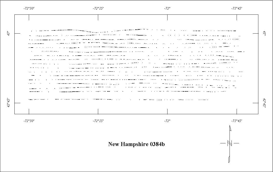
| 0384B | Rowe ARMS East '602 | USGS | 07/1960-09/1960 | 1 mi. | E-W | 500 AG |
2900
|
Tot.field, arb.datum | 72-459,GP-358r |
| 0403 | Plattsburgh | USGS | 09/1961 | 1 mi. | NW-SE | 1000-2000 B |
315
|
Tot.field, arb.datum | 72-459 |
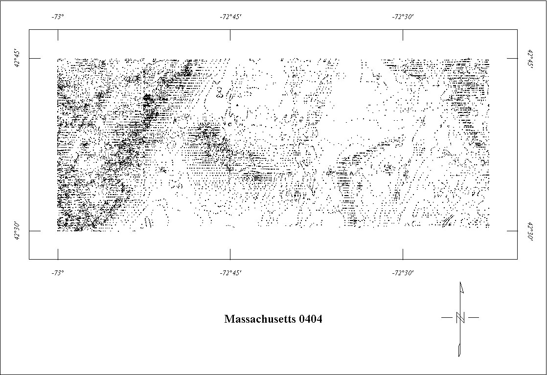
| 0404 | Massachusetts Coop '61 | USGS | 09/1961 | 1 mi. | E-W | 500 AG |
544
|
Tot.field, arb.datum | GP's |
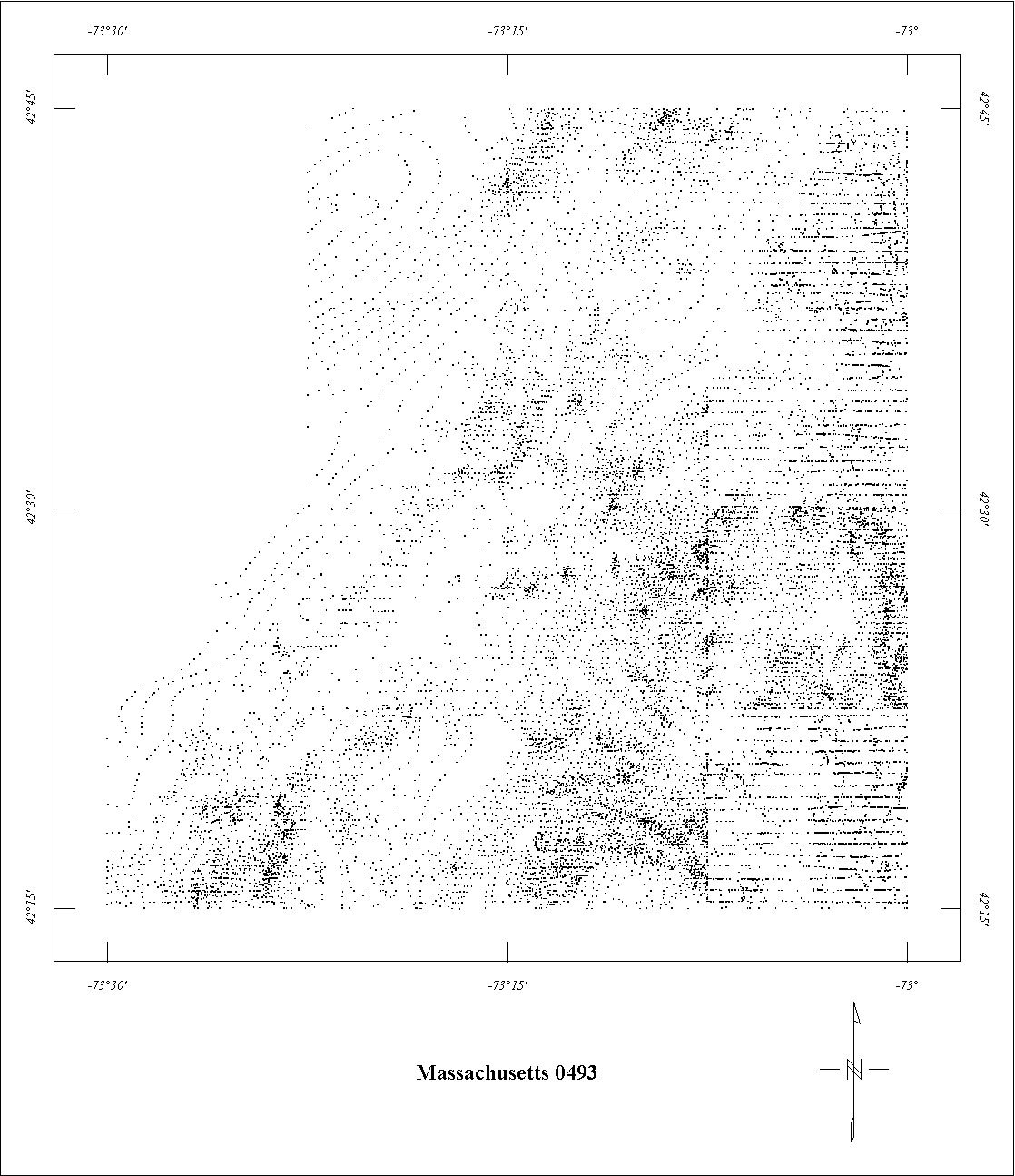
| 0493 | Massachusetts Coop '62 | USGS | 08/1962 | 0.5-1 mi. | E-W | 500 AG |
785
|
Tot.field, arb.datum | GP-448-461 |
| 0572 | Northern New Hampshire '662 | USGS | 06/1966 | 0.5 mi. | N-S | 3500 B |
2800
|
Tot.field, arb.datum | GP-654-656 |
| 0638 | North-central N.H. '683 | USGS | 05/1968 | 0.5 mi. | E-W | 5000 B |
1555
|
Tot.field, arb.datum | GP-891 |
| 0640 | Fitchburg4 | USGS | 06/1968 | 0.5 mi. | E-W | 400 AG |
3486
|
Tot.field, arb.datum | GP's |
| 0642 | Central New Hampshire '68 | USGS | 07/1968 | 0.5 mi. | E-W | 5000 B |
970
|
Tot.field, arb.datum | GP-892 |
| 0686 | New Hampshire Coop '703 | USGS | 06/1970 | 1 mi. | E-W | 5000 B |
1055
|
Tot.field, arb.datum | GP-892 |
| 0688 | Vermont Regional | USGS | 06/1970-07/1970 | 2 mi. | E-W | 4000 B |
740
|
IGRF65 | 72-459 |
| 0706A | New England Regional North5 | USGS | 03/1971 | 2 mi. | E-W | 4000 B |
1690
|
IGRF65 | 72-459 |
| 0706B | New England Regional South5 | USGS | 03/1971 | 2 mi. | E-W | 4000 B |
1645
|
IGRF65 | 72-459 |
| NH01 | Central New Hampshire6 | Aero | 06/1976-10/1976 | 0.5 mi. | N-S | 3000 B |
3189
|
IGRF? | BE-SG7602 |
| NH02 | Southern New Hampshire6 | Aero | 06/1976-10/1976 | 0.5 mi. | E-W | 3000 B |
6869
|
IGRF? | BE-SG7602NJ01 |
1 Project 0213 is incomplete. Only the eastern half was digitized.
2 Projects 0214, 0256, 0384B, and 0572 are incomplete. Some of the missing parts
have been superceded by newer digital data.
3 See Project 0642. All of Project 0686 and part of Project 0638 are fully merged
with Project 642. The remaining northern part of Project 0638 is missing.
4 Project 0640 is incomplete. Data from east of -72° is missing.
5 See Project 0688. Projects 0706A and 0706B are fully merged with 0688.
6 Digital data sets may exist for NH01 and NH02. All of NH01 and only a small part
of NH02 have been digitized.
Click on the individual survey numbers that are of interest to download ASCII XYZ file to your hard drive or click on the name to view a point plot.
Description of Table
*For more complete references see: Hill, P.L., 1991, Bibliographies and location maps of publications on aeromagnetic and aeroradiometric surveys for the states east of the Mississippi River north of the Ohio and Potomac rivers, U.S. Geological Survey Open-File Report 91-0370-C, 104 p.
Further information about aeromagnetic data from the state of Kentucky can be
obtained by contacting Pat Hill, (303) 236-1343, email (pathill@usgs.gov), or Bob Kucks, (303) 236-1405, email (rkucks@usgs.gov), or click the button below.
|
and Merged Aeromagnetic Data for New Hampshire and Vermont |
Data Format and Digitizing Technique |
Aeromagnetics Home Page |
This report is preliminary and has not been reviewed for conformity with U.S.
Geological Survey editorial Standards. Use of brand names is for descriptive
purposes and does not constitute endorsement by the U.S. Geological Survey.
Last modified 9/14/1999.
| AccessibilityFOIAPrivacyPolicies and Notices | |
| |
|