 |
|
|
||||
| OFR 99–0557: Pennsylvania Digitized Aeromagnetic Projects |
| About USGS / Science Topics / Maps, Products & Publications / Education / FAQ |
|
|
|
|
|
|
|
|
|
|
|
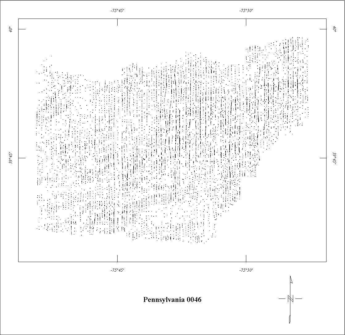
| 0046 | Delaware Fall Zone | USGS | 04/1953-06/1953 | 0.5 mi. | N-S | 1000 AG |
1282
|
Tot.field, arb.datum | GP-363 |
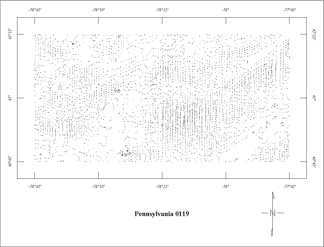
| 0119 | Clearfield-Philipsburg1 | USGS | 11/1946 | 0.5 mi. | N-S | 1000 AG |
3588
|
Tot.field, arb.datum | AAPG v.33 |
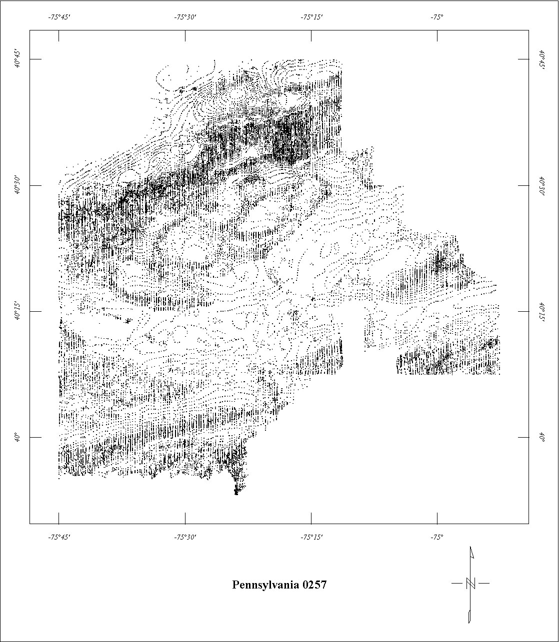
| 0257 | Pennsylvania Triassic '56 | USGS | 10/1956-12/1956 | 0.25 mi. | N-S | 500 AG |
7032
|
Tot.field, arb.datum | GP200-238, 260-266 |
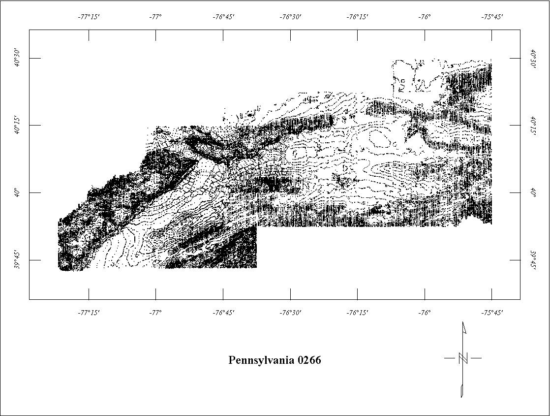
| 0266 | Pennsylvania Triassic '57 | USGS | 03/1957-04/1957 | 0.25 mi. | N-S | 500 AG |
11780
|
Tot.field, arb.datum | GP-217-287 |
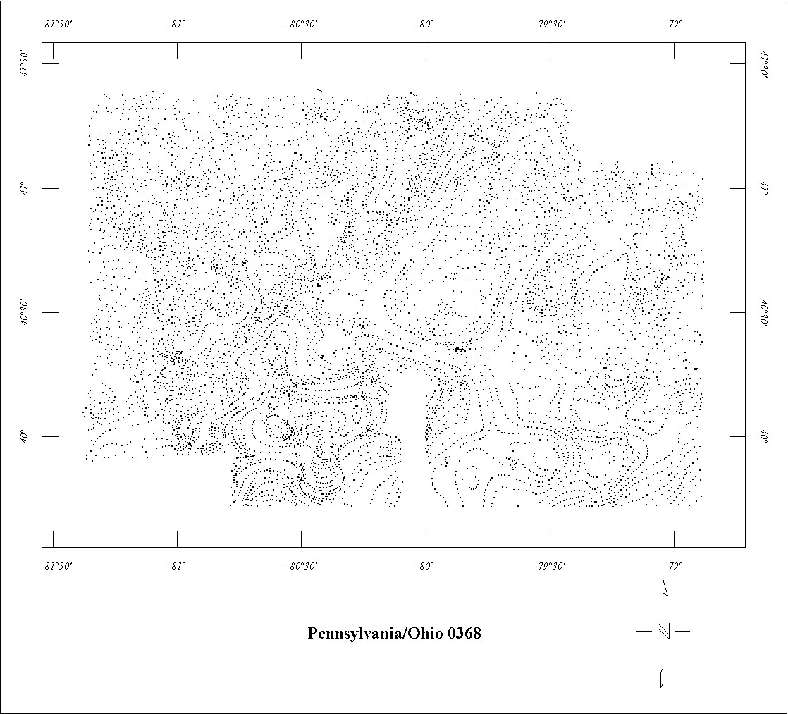
| 0368 | Pittsburgh ARMS | USGS | 06/1960-09/1960 | 1 mi. | N-S | 500 AG |
15000
|
Tot.field, arb.datum | GP-445 |
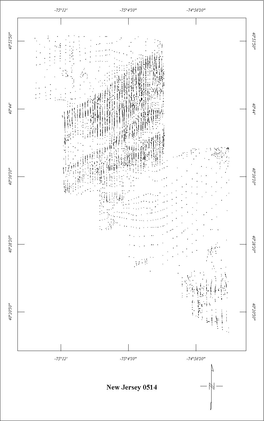
| 0514 | New Jersey Highlands '63 | USGS | 08/1963 | 0.5 mi. | N-S | 500 AG |
910
|
Tot.field, arb.datum | GP-549-553 |
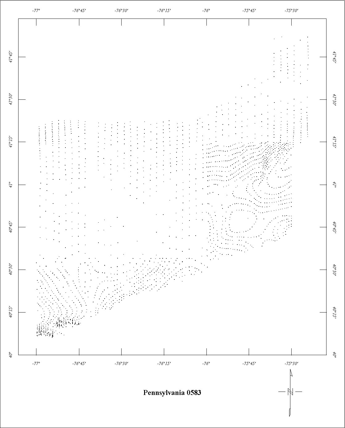
| 0583 | Pennsylvania Coop | USGS | 11/1966 | 2 mi. | N-S | 3000 B |
3000
|
Tot.field, arb.datum | GP-669 |
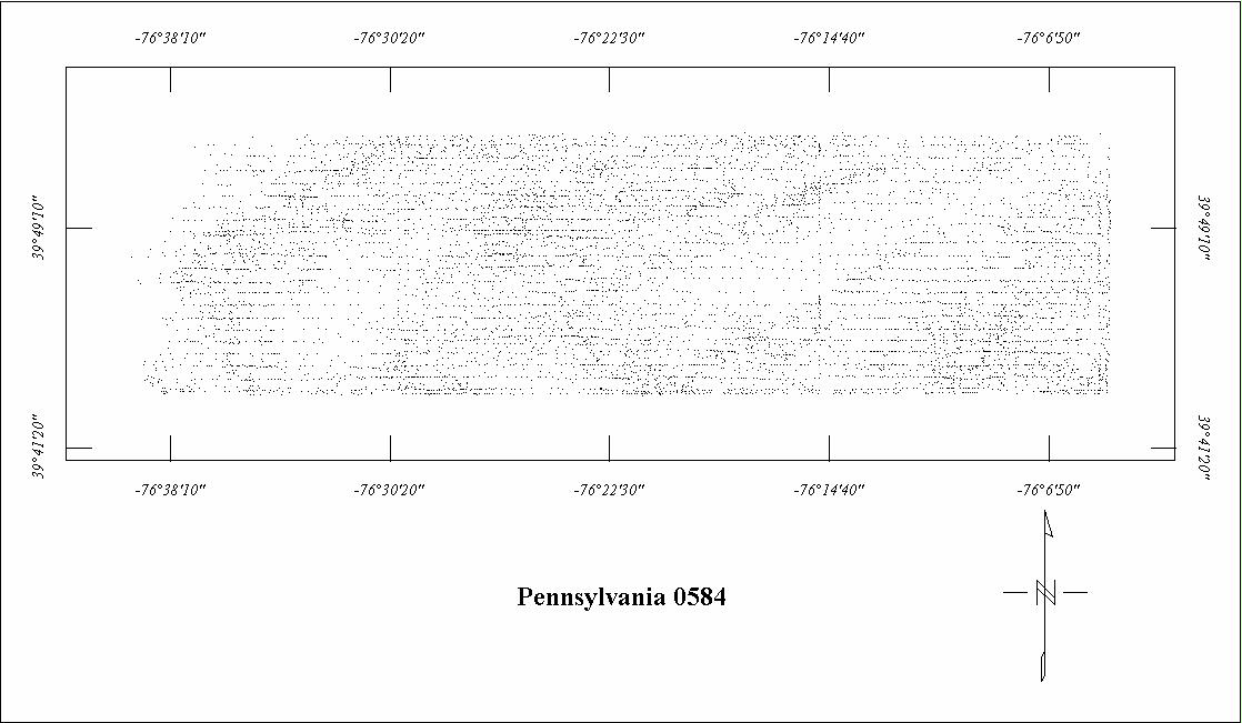
| 0584 | Pennsylvania-Maryland Tie | USGS | 11/1966 | 0.5 mi. | E-W | 500 AG |
840
|
IGRF65 | GP-924 |
| 0684 | Maryland Coop '70 | USGS | 06/1970 | 1 mi. | E-W | 3500 B |
3330
|
Tot.field, arb.datum | GP-842 |
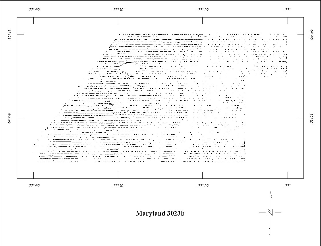
| 3023B | Northern Maryland | LKB | 09/1972-11/1972 | 0.5 mi. | E-W | 500 AG |
1690
|
IGRF65 | 73-291 |
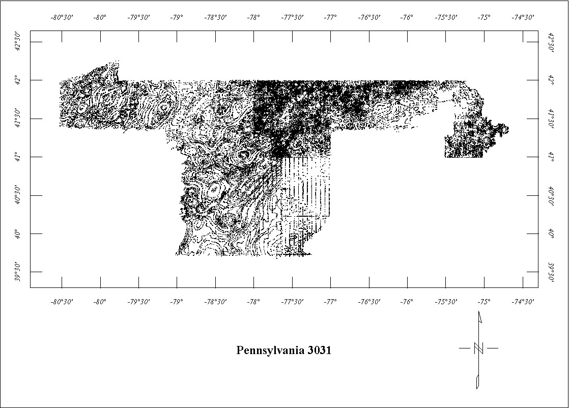
| 3031 | Central & Northern Penn. | Airmag | 06/1973-08/1973 | 3 mi. | N-S | 1000 AG |
7900
|
IGRF65, varied | 74-012-017 |
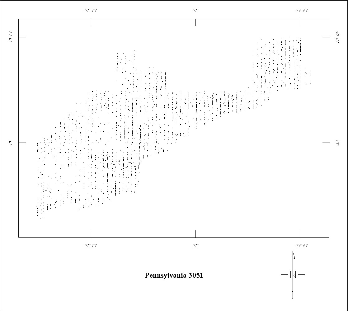
| 3051 | Philadelphia | Airmag | 06/1974-07/1974 | 1 mi. | N-S | 1000 AG |
450
|
IGRF65 | 74-370 |
1 See also Project 3031. Project 3031 is fully merged with Project 0119.
Click on the individual survey numbers that are of interest to download ASCII XYZ file to your hard drive or click on the name to view a point plot.
Description of Table
*For more complete references see: Hill, P.L., 1991, Bibliographies and location maps of publications on aeromagnetic and aeroradiometric surveys for the states east of the Mississippi River north of the Ohio and Potomac rivers, U.S. Geological Survey Open-File Report 91-0370-C, 104 p.
Further information about aeromagnetic data from the state of Kentucky can be
obtained by contacting Pat Hill, (303) 236-1343, email (pathill@usgs.gov), or Bob Kucks, (303) 236-1405, email (rkucks@usgs.gov), or click the button below.
|
and Merged Aeromagnetic Data for Pennsylvania |
Data Format and Digitizing Technique |
Aeromagnetics Home Page |
This report is preliminary and has not been reviewed for conformity with U.S.
Geological Survey editorial Standards. Use of brand names is for descriptive
purposes and does not constitute endorsement by the U.S. Geological Survey.
Last modified 9/14/1999.
| AccessibilityFOIAPrivacyPolicies and Notices | |
| |
|