 |
|
|
||||
| OFR 99–0557: Utah Digitized Aeromagnetic Projects |
| About USGS / Science Topics / Maps, Products & Publications / Education / FAQ |
|
|
|
|
|
|
|
|
|
|
|
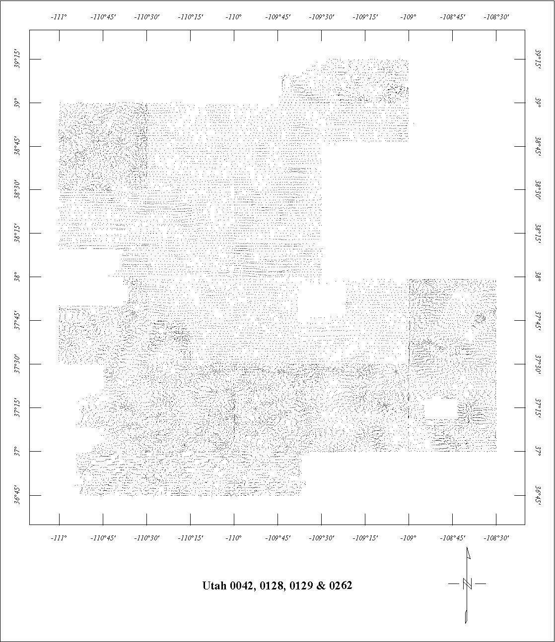
| 0042 | South Colorado Plateau | USGS | 08/1953-11/1953 | 1 mi. | E-W | 8500 B |
8792
|
Tot.field, arb.datum | P-736 |
| 0044 | Uravan | USGS | 02/1952-09/1952 | 2 mi. | E-W | 500 AG |
2500
|
Tot.field, arb.datum | P-316A |
| 0128 | North Colorado Plateau1 | USGS | 02/1955 | 1 mi. | E-W | 8500 B |
3620
|
Tot.field, arb.datum | P-736 |
| 0129 | West Colorado Plateau1 | USGS | 10/1954 | 1 mi. | E-W | 8500 B |
4600
|
Tot.field, arb.datum | P-736 |
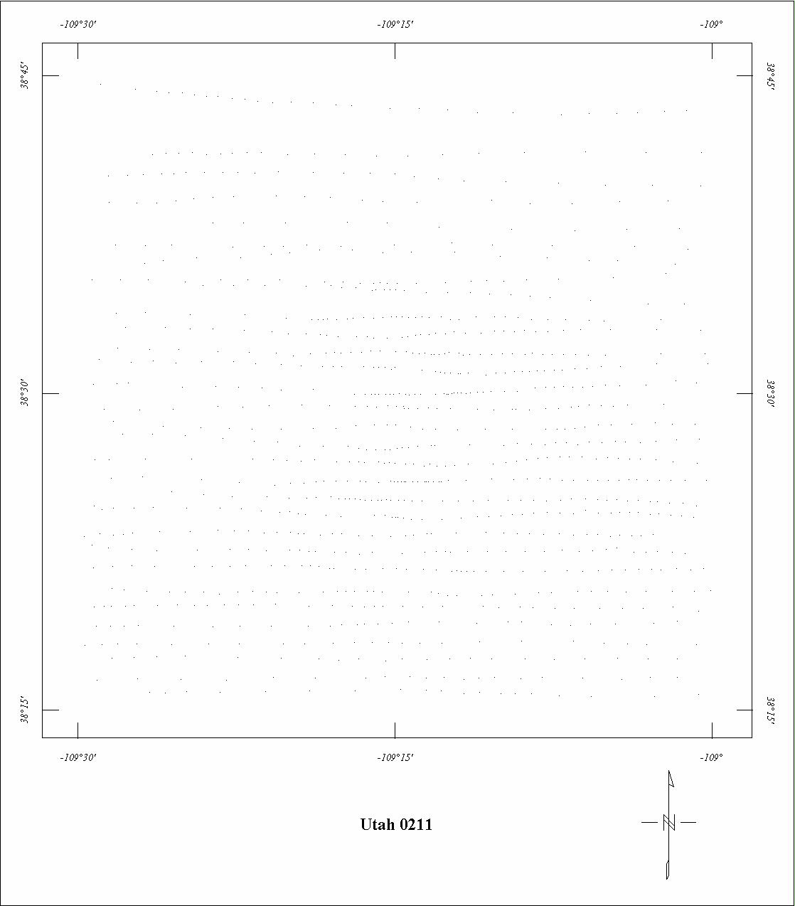
| 0211 | La Sal Mountains '55 | USGS | 09/1955 | 1 mi. | E-W | 12,500 B |
590
|
Tot.field, arb.datum | P-316F |
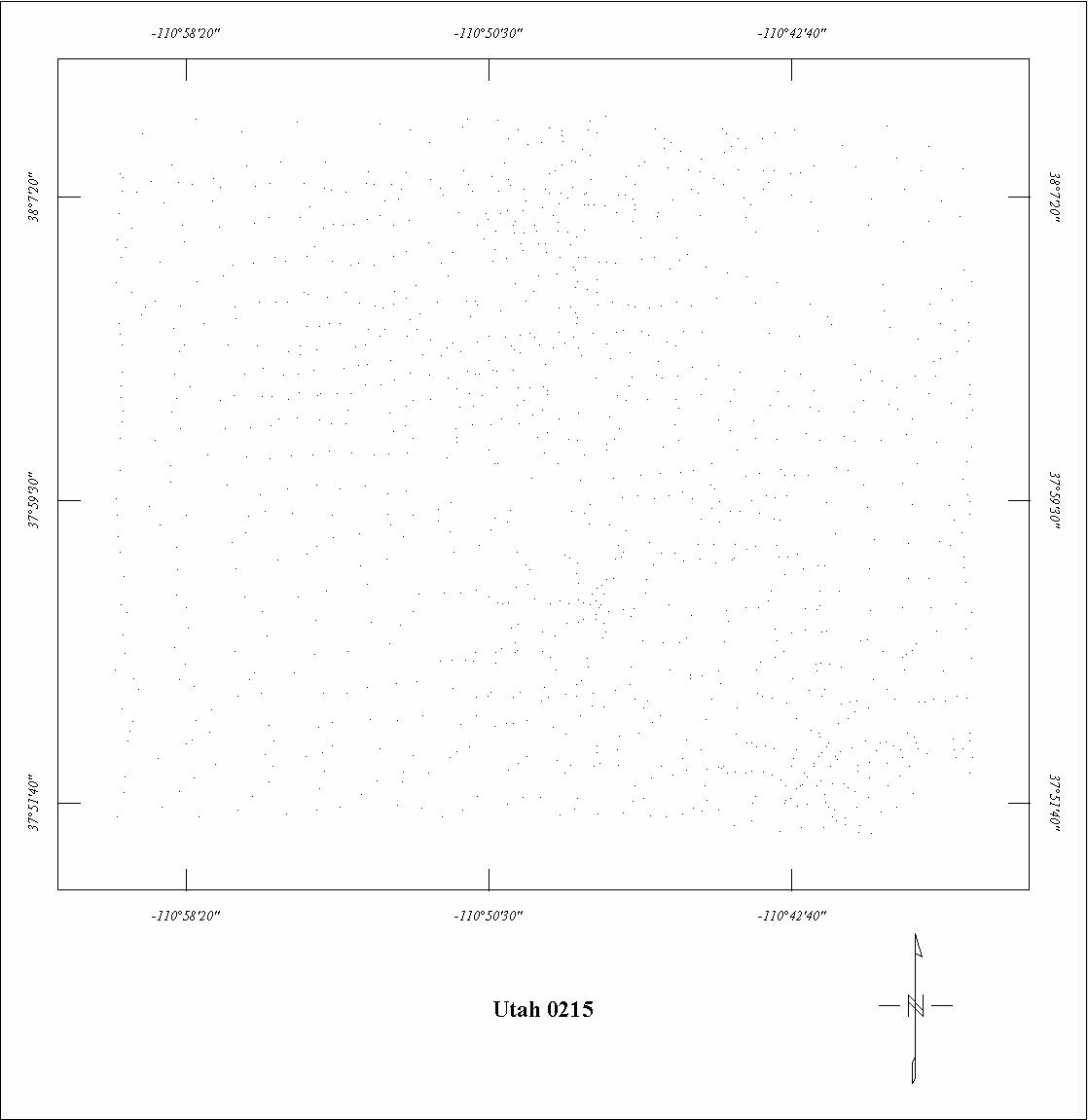
| 0215 | Henry Mountains '54 | USGS | 10/1954 | 1 mi. | E-W | 12,500 B |
550
|
Tot.field, arb.datum | P-736 |
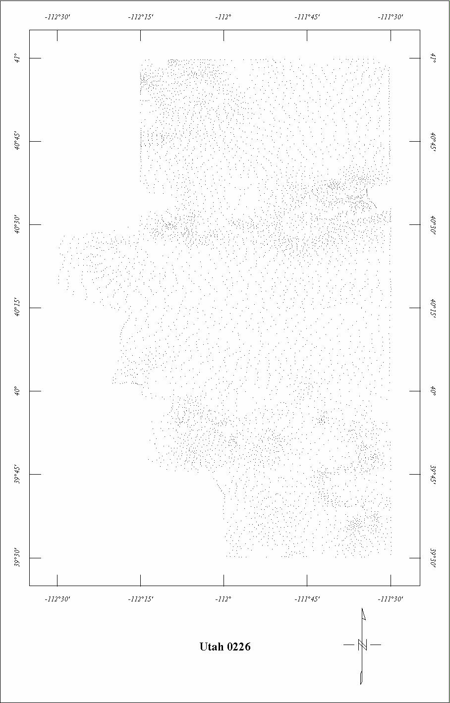
| 0226 | Salt Lake Valley H. L. | USGS | 10/1955 | 2 mi. | E-W | 12,000 B |
2200
|
Tot.field, arb.datum | GP-422 |
| 0243 | La Sal Mountains '562 | USGS | 08/1956 | 1 mi. | E-W | 12,500 B |
506
|
Tot.field, arb.datum | P-316F |
| 0261 | Abajo Mountains | USGS | 08/1956 | 1-2 mi. | E-W | 11,500 B |
542
|
Tot.field, arb.datum | P-736 |
| 0262 | Florence Canyon-Westwater1 | USGS | 08/1956 | 1 mi. | E-W | 8500 B |
804
|
Tot.field, arb.datum | P-736 |
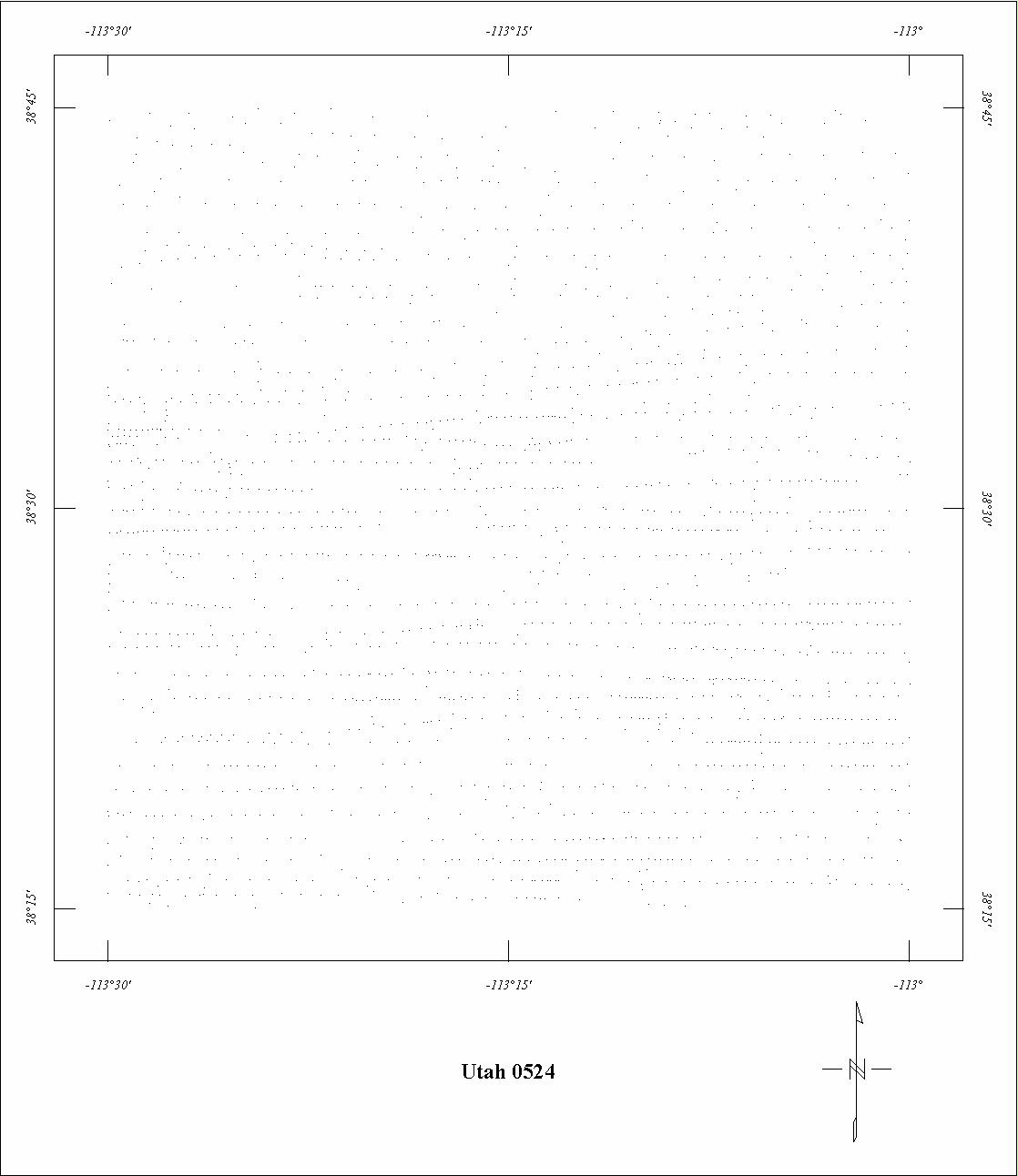
| 0524 | Milford | USGS | 11/1963 | 1 mi. | E-W | 9000 B |
999
|
Tot.field, arb.datum | GP-598 |
| 0554A | Uinta Mountains West | USGS | 09/1965 | 2 mi. | N-S | 11,000 B |
620
|
Tot.field, arb.datum | 66-086 |
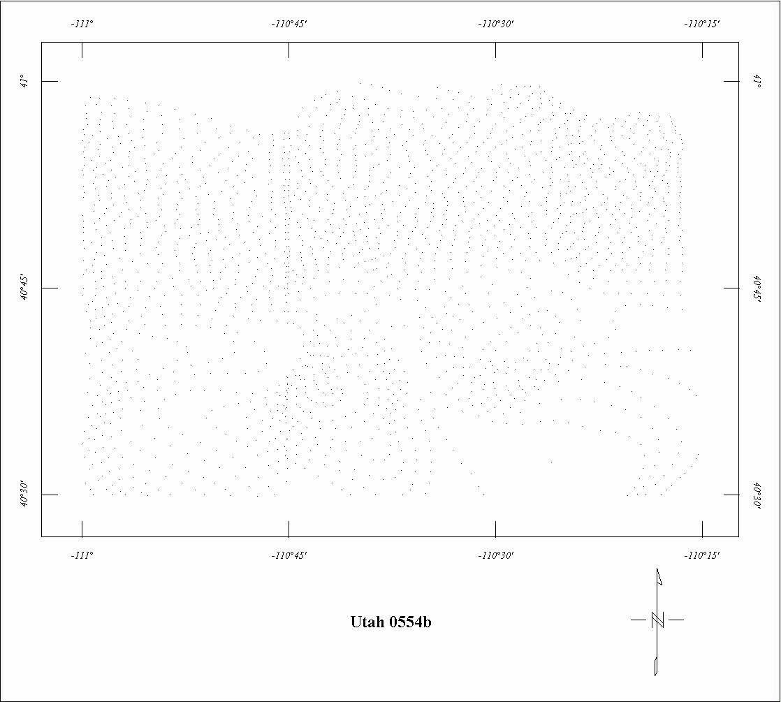
| 0554B | Uinta Mountains East | USGS | 09/1965 | 2 mi. | N-S | 13,000 B |
620
|
Tot.field, arb.datum | 66-086 |
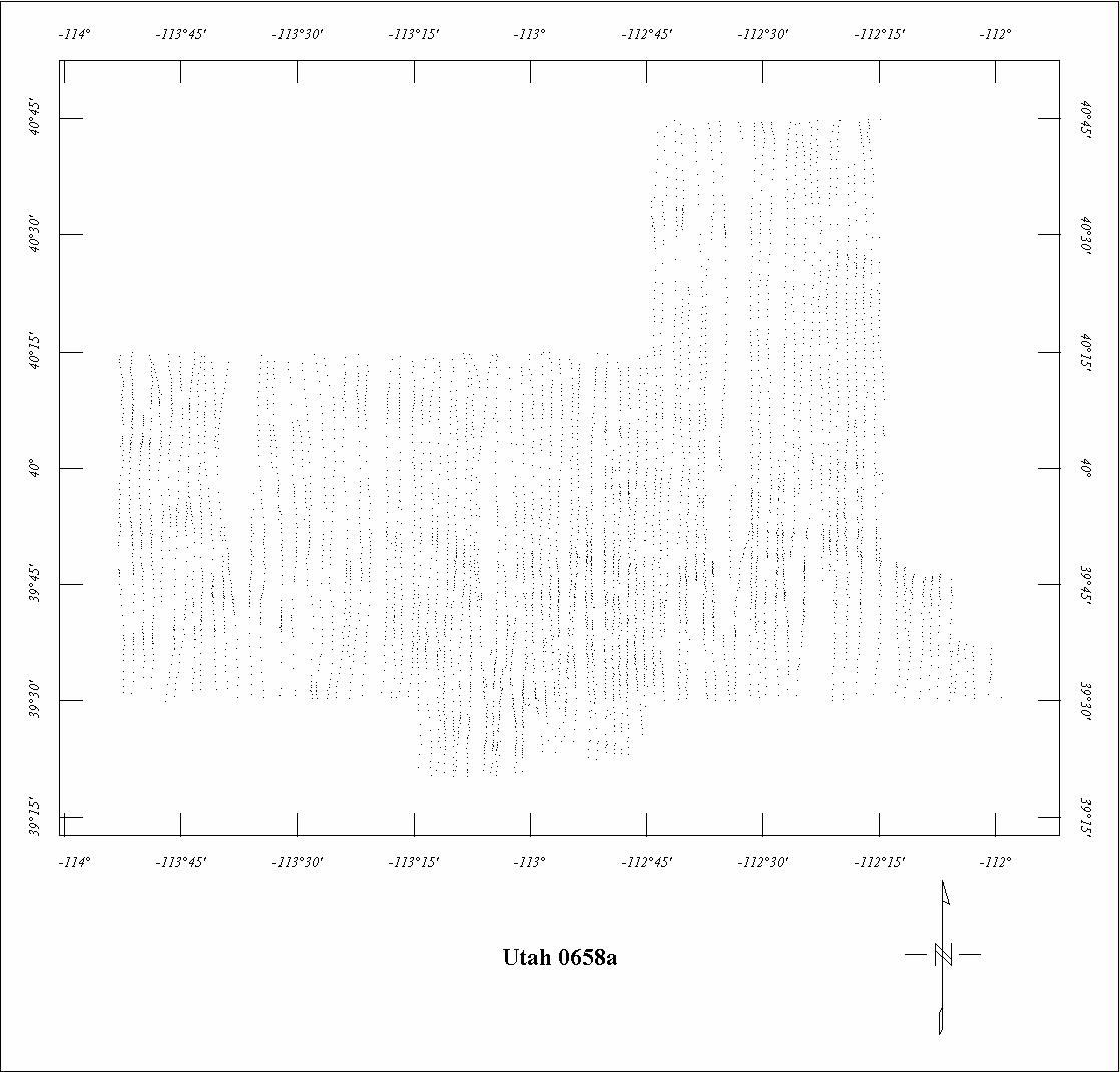
| 0658A | Salt Lake Desert | USGS | 11/1968 | 1 mi. | N-S | 9000 B |
6415
|
Tot.field, arb.datum | 71-289 |
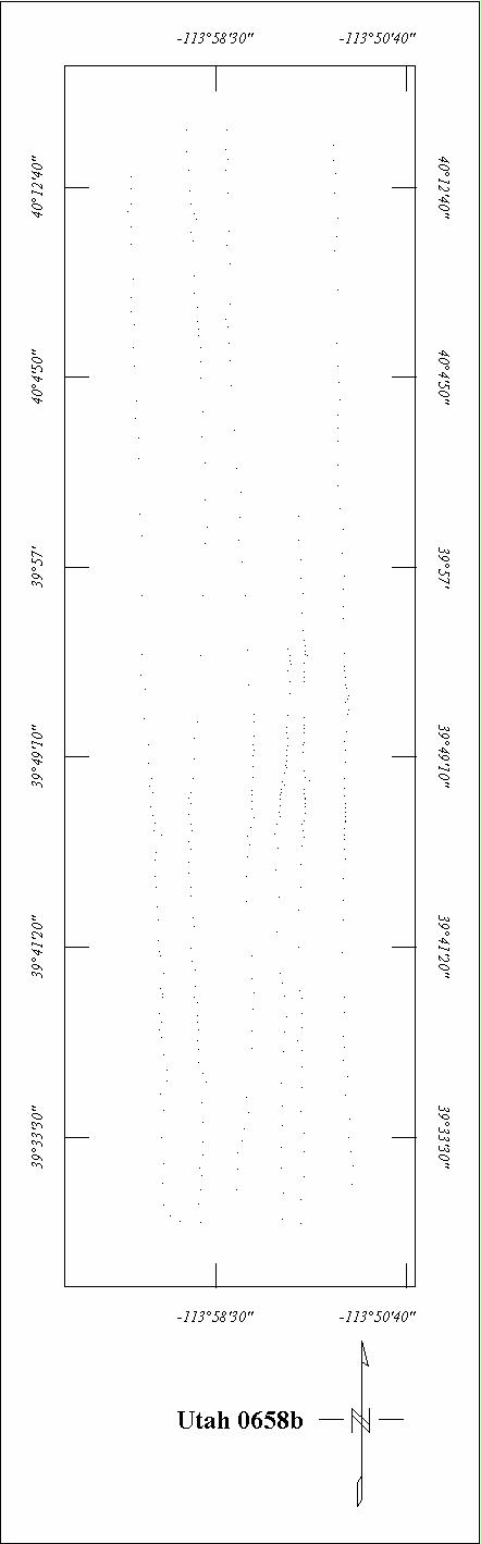
| 0658B | Salt Lake Desert - West | USGS | 11/1968 | 1 mi. | N-S | 12,000 B |
315
|
Tot.field, arb.datum | 71-289 |
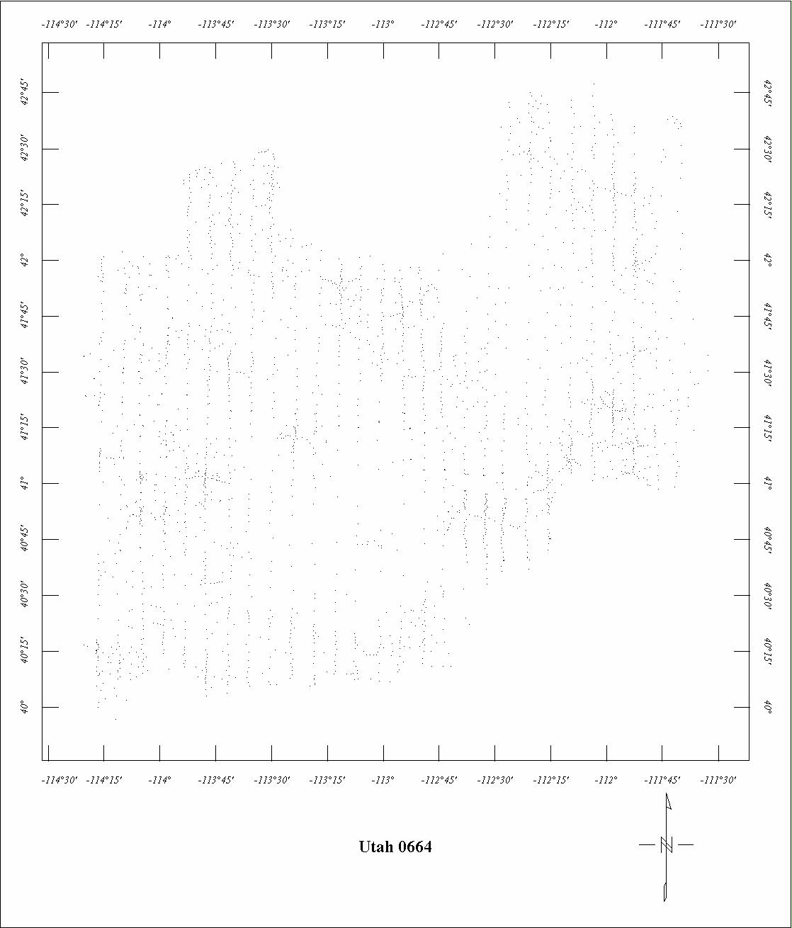
| 0664 | Bonneville | USGS | 05/1969-06/1969 | 5 mi. | N-S | 12,000 B |
5774
|
IGRF65? | GP907,78-280,unpub |
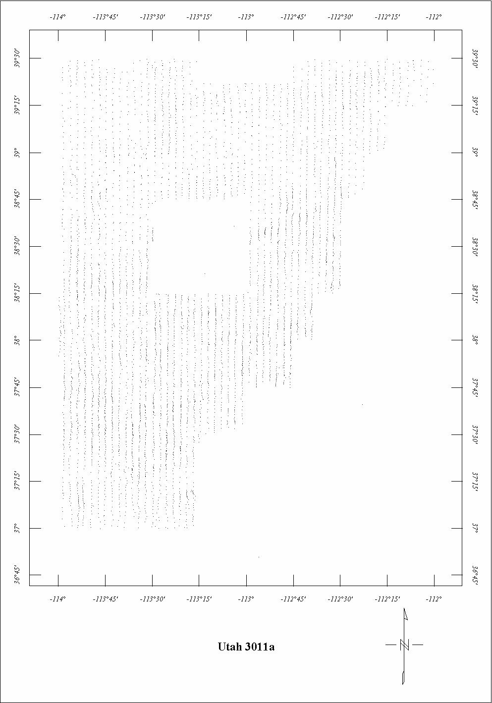
| 3011A | Southwest Utah | Scintrex | 02/1972-03/1972 | 2 mi. | N-S | 9000 B |
6220
|
IGRF65 | 72-385,387 |
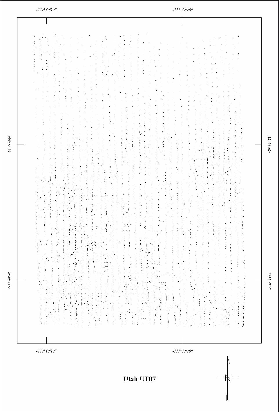
| UT07 | Cove Fort | Aerial | 08/1975 | 0.5 mi. | N-S | 12,000 B |
340
|
IGRF75 | IDO/28392-30 |
| UT08 | Black Rock Desert | Aerial | ?/1978 | 0.33 mi. | N-S | 1000 AG |
2500
|
IGRF75 | ET-28392-39 |
1 See Project 0042. Projects 0128, 0129, and 0262 are fully merged with 0042.
2 See Project 0211. Project 0243 is fully merged with 0211.
Click on the individual survey numbers that are of interest to download ASCII XYZ file to your hard drive or click on the name to view a point plot.
Description of Table
*For more complete references see: Hill, P. L., 1991, Bibliographies and location maps of publications on aeromagnetic and aeroradiometric surveys for the states west of approximately 104° longitude (exclusive of Hawaii and Alaska): U.S. Geological Survey Open-File Report 91-0370-A, 172 p.
Further information about aeromagnetic data from the state of Kentucky can be
obtained by contacting Pat Hill, (303) 236-1343, email (pathill@usgs.gov), or Bob Kucks, (303) 236-1405, email (rkucks@usgs.gov), or click the button below.
|
and Merged Aeromagnetic Data for Utah |
Data Format and Digitizing Technique |
Aeromagnetics Home Page |
This report is preliminary and has not been reviewed for conformity with U.S.
Geological Survey editorial Standards. Use of brand names is for descriptive
purposes and does not constitute endorsement by the U.S. Geological Survey.
Last modified 9/14/1999.
| AccessibilityFOIAPrivacyPolicies and Notices | |
| |
|